thomp2mp
-
Posts
138 -
Joined
-
Last visited
Content Type
Profiles
Blogs
Forums
American Weather
Media Demo
Store
Gallery
Everything posted by thomp2mp
-
pretty wild stat, but now it's been 0 days (at least for you)
-
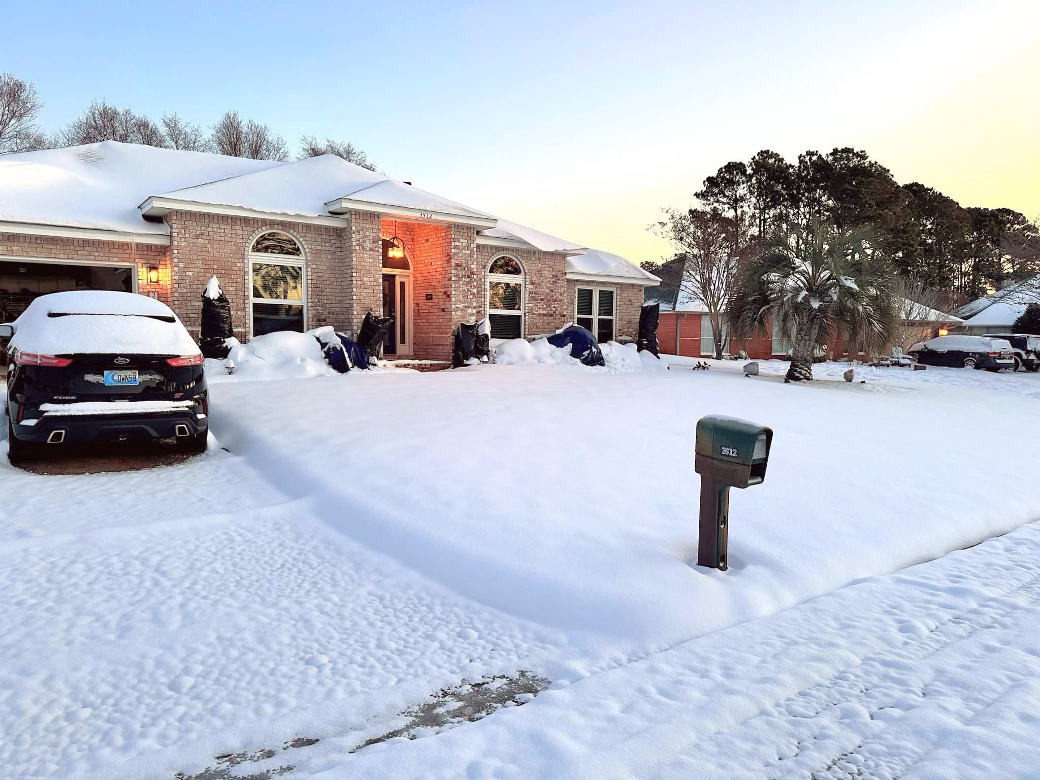
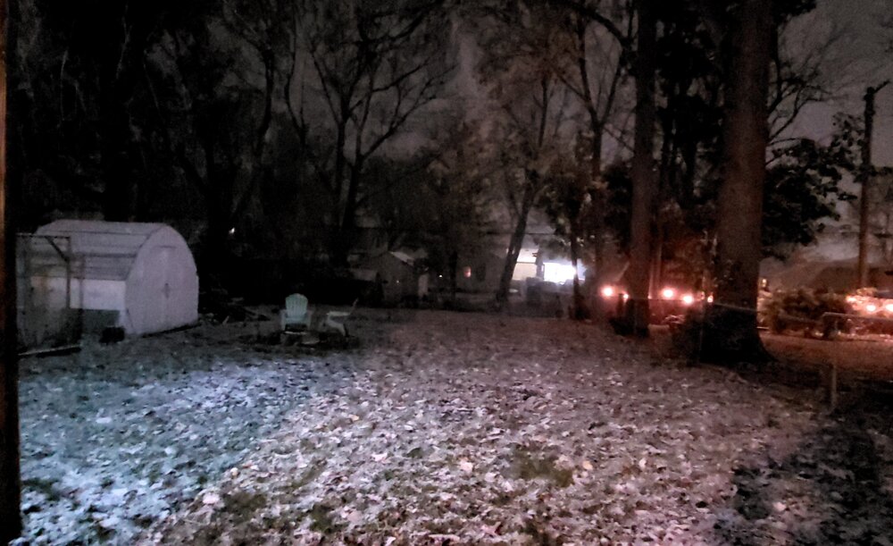
Hit -6.5° overnight, with a WC of -19°. Had a friend in Pensacola send me this photo of their 8.25" of snow from yesterday:

- 577 replies
-
- 10
-

-
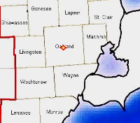
2.0" here in Waterford. Roads are a mess
-
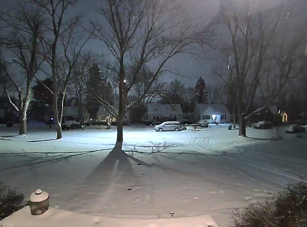
Quick dusting here in Waterford over the past 45 minutes but not snowing at the moment. At least everything looks pretty.
-
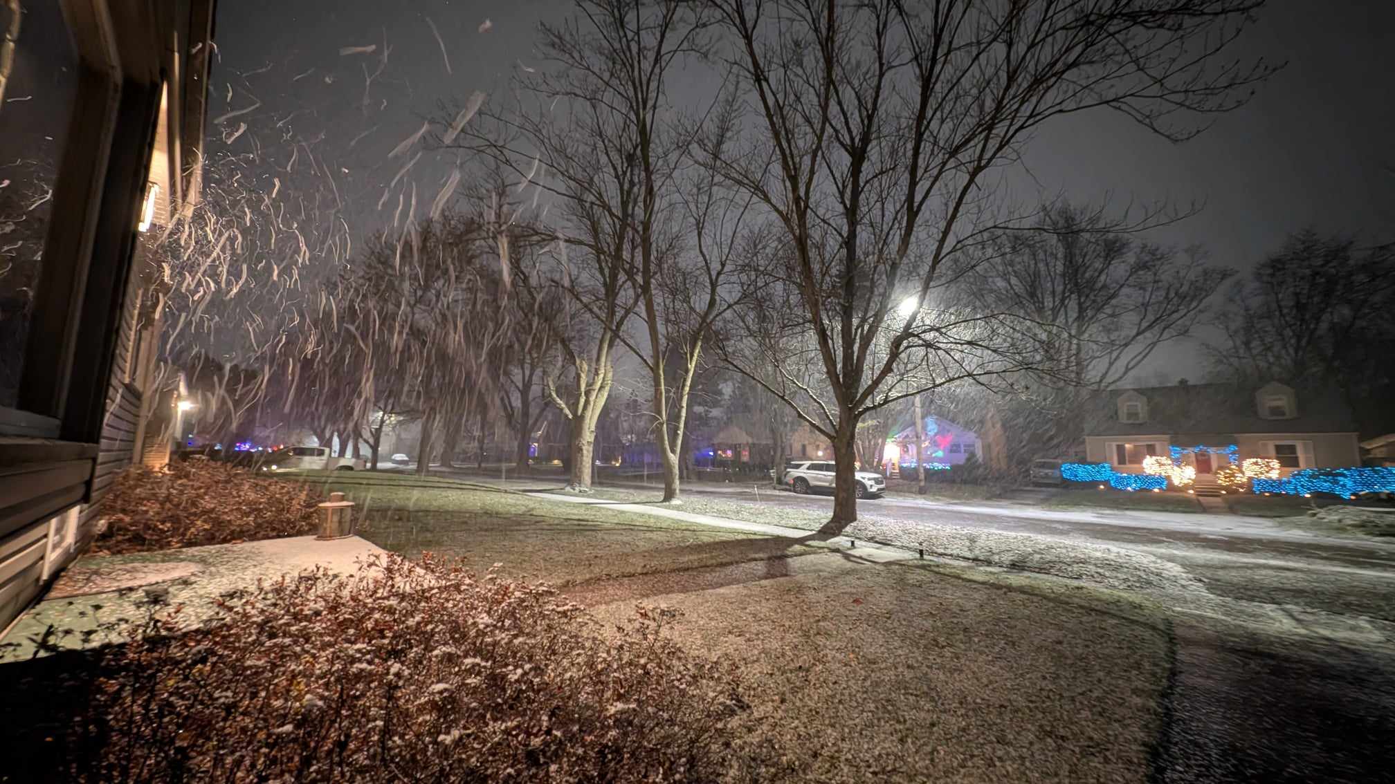
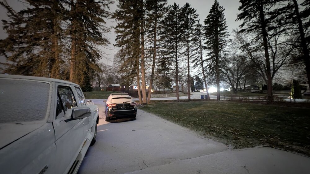
Big flakes in Waterford

-
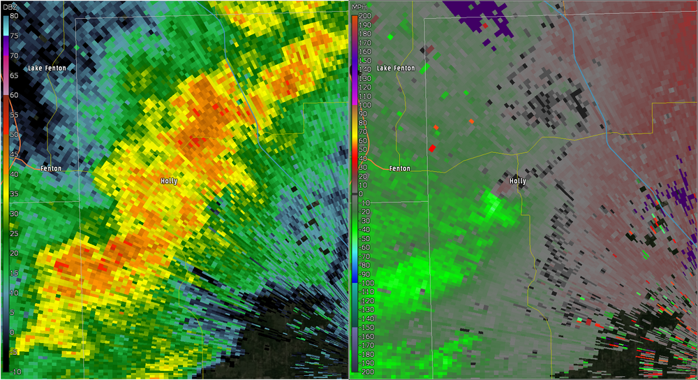
Circulation near Holly earlier that prompted a SVR warning, along with straight line winds
-
dude wyandotte's got so many sycamore trees. i loved it when I visited my grandma there in my youth days
-
managed 0.01" at PTK so far today, my PWS hasn't registered anything (probably fked something up when I installed my new wind cups, so many earwigs living in there)
-
super foggy here, PTK is down to 1/8SM, DTW & Willow Run 1/4SM
-
Flew into DTW on my way back from Pensacola yesterday (was cold AF down there but that's another story) and our flight was delayed by about 30 mins so they could top off the fuel just in case we had to go into a holding pattern. DTW was reporting FZRA and the captain said our diversion was CMH (to booing in the cabin lol). Luckily we had a brisk tailwind and only arrived 15 minutes late, and DTW switched to just rain. roads were crap heading Downriver around 11:30PM, but my drive back to Waterford this afternoon entailed just wet roads.
-
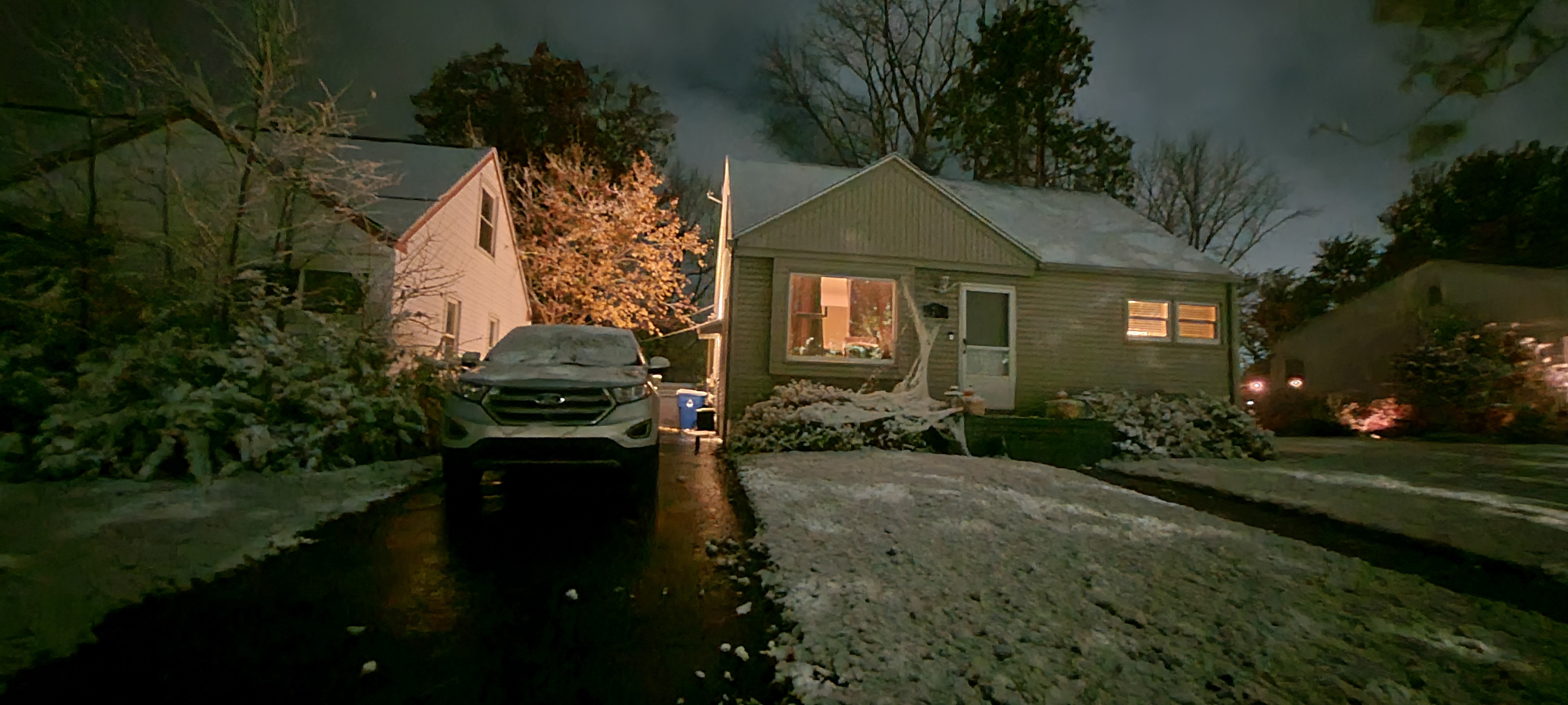
Late post but ended up with a little over 7" of cottage cheese imby. Many roads are still kinda dicey between here and my office in Novi.

-
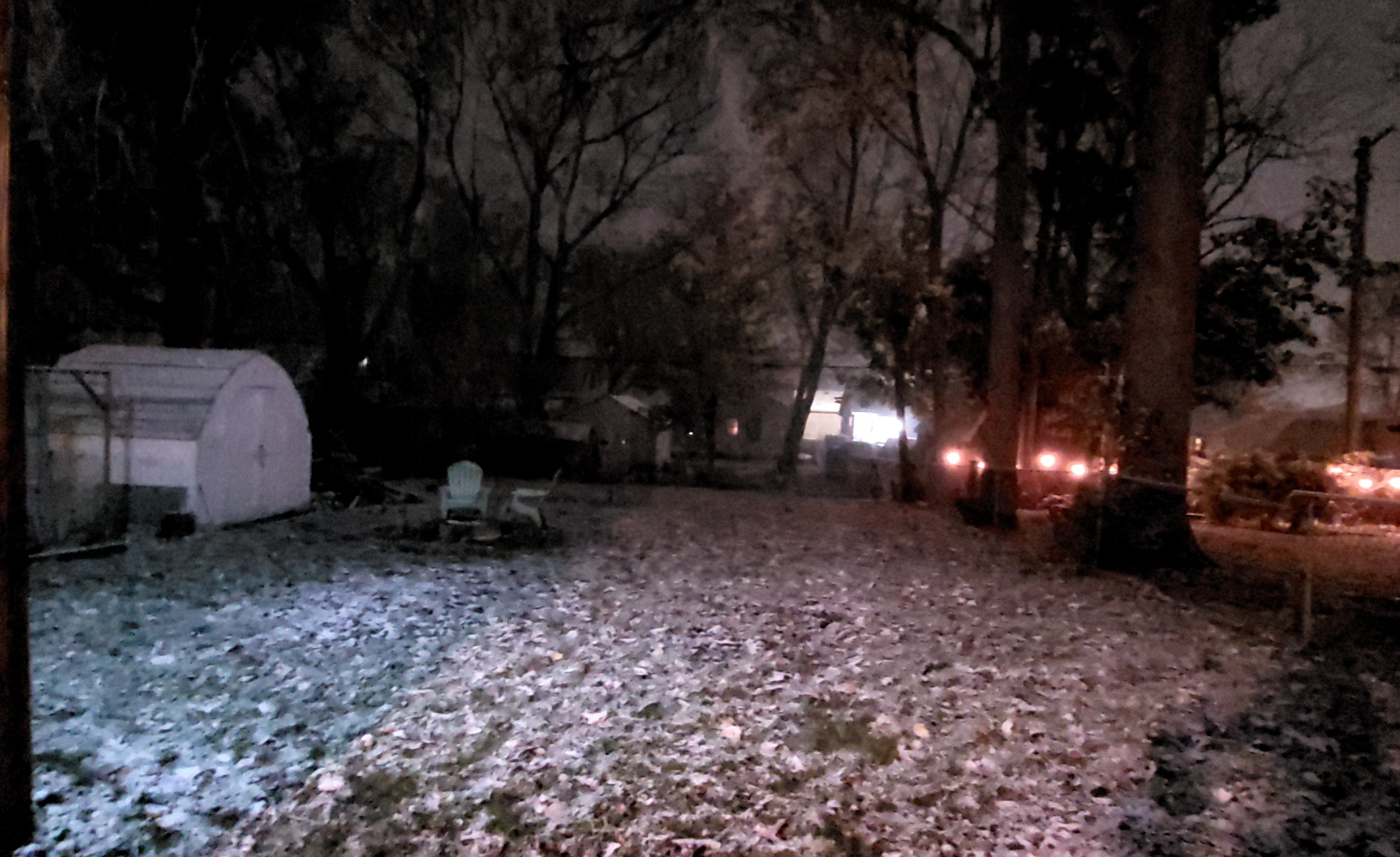
measured 1.0" so far IMBY. starting to slow down
-
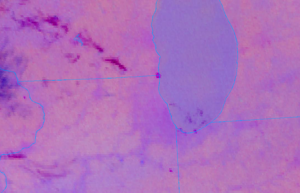
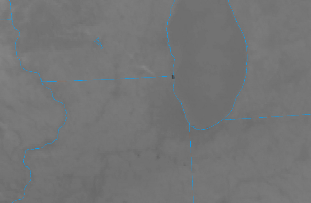
what's happening here at the IL/WI lakeshore border? nighttime micro and band 7 shortwave IR images
-
After the line of snow moved thru

-
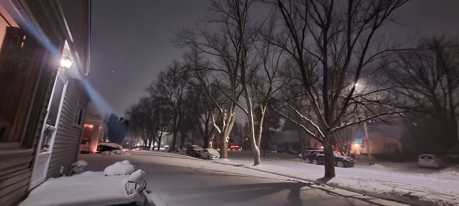
Comin down pretty good in Waterford
-
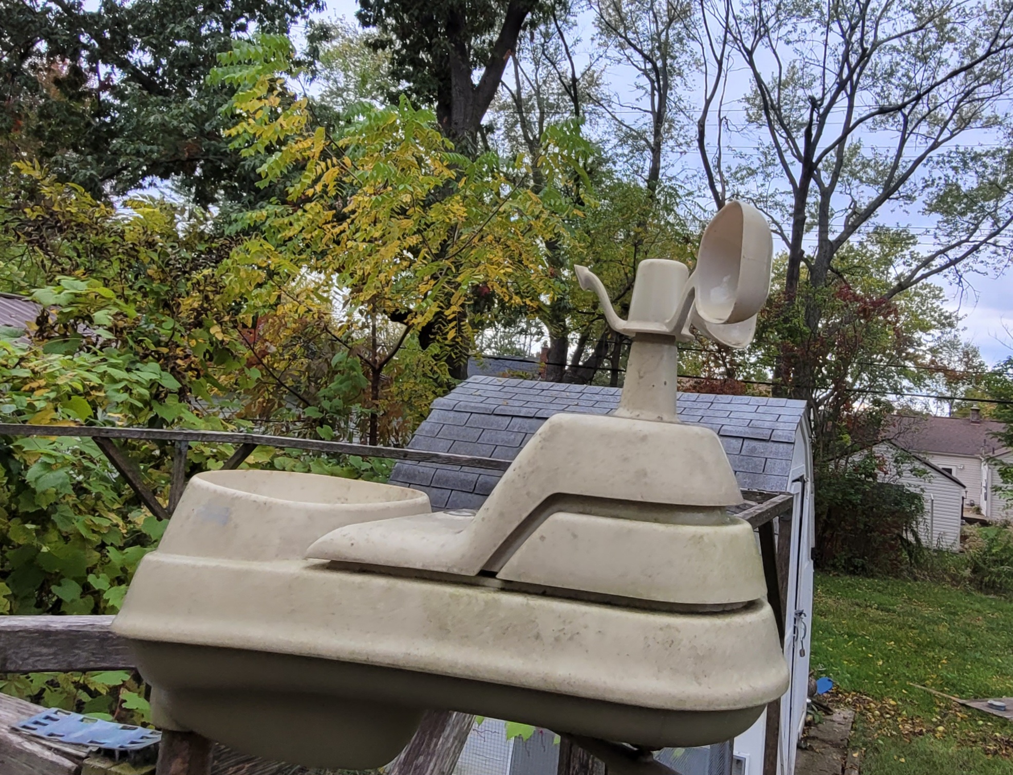
RIP to my cup anemometer on my weather station. Probably got taken out by one of the billions of falling walnuts from the neighbor's tree.

-
DTX posted today that the growing season has officially ended for SEMI. I don't recall seeing any frost advisories in the CWA this autumn. How often does that happen?
-
Constant horrible feeling light rain since around 7 tonight. Got about a quarter inch so far though. Humid cool air makes me sad.
-
0.86" on the rain gauge here in Waterford
-
2023 Short/Medium Range Severe Weather Discussion
thomp2mp replied to Chicago Storm's topic in Lakes/Ohio Valley
for future reference, if you've got GR2Analyst you can load archive files from the NEXRAD Inventory on this page for any of the NEXRAD sites. -
2023 Short/Medium Range Severe Weather Discussion
thomp2mp replied to Chicago Storm's topic in Lakes/Ohio Valley
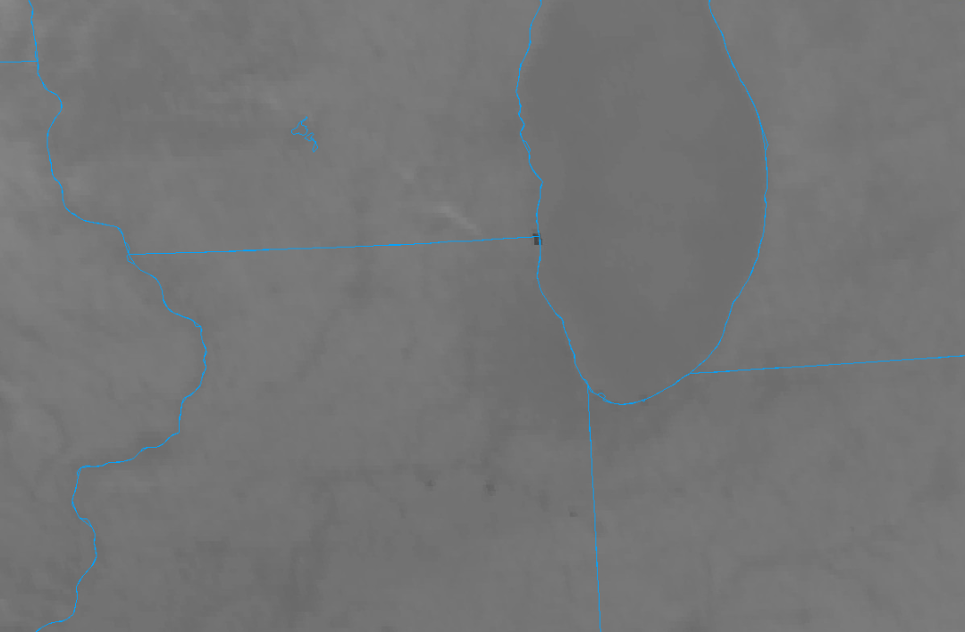
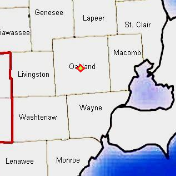
looking at the archived radar data on GR2A, looks like a brief spinup might've happened around that area. Spicer's is the red marker.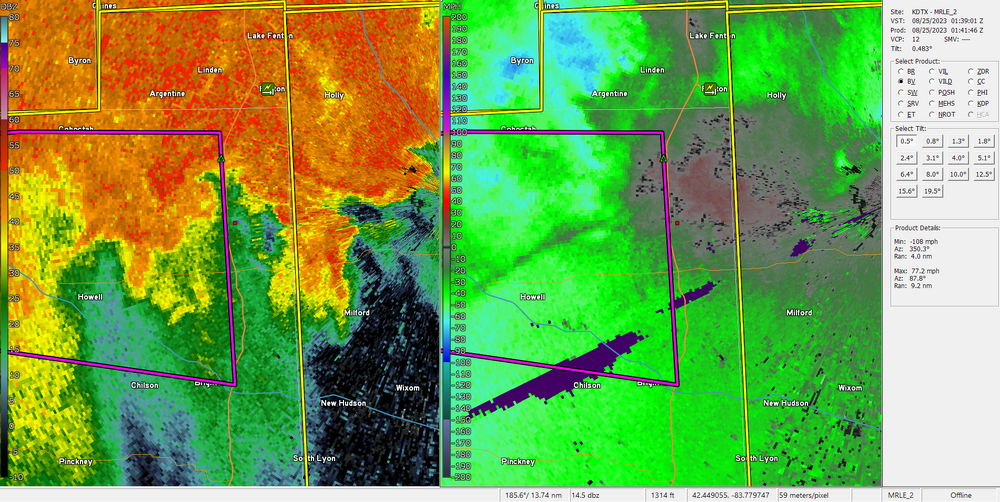
-
0.70" from two downpours imby this afternoon and evening. First one blew off what seemed like an unlimited supply of walnuts from the neighbor's tree all over the yard.
-
May get some breaks in the clouds here in SE MI but not too optimistic.
-
3PM here in Waterford: 71° Currently 47°
-
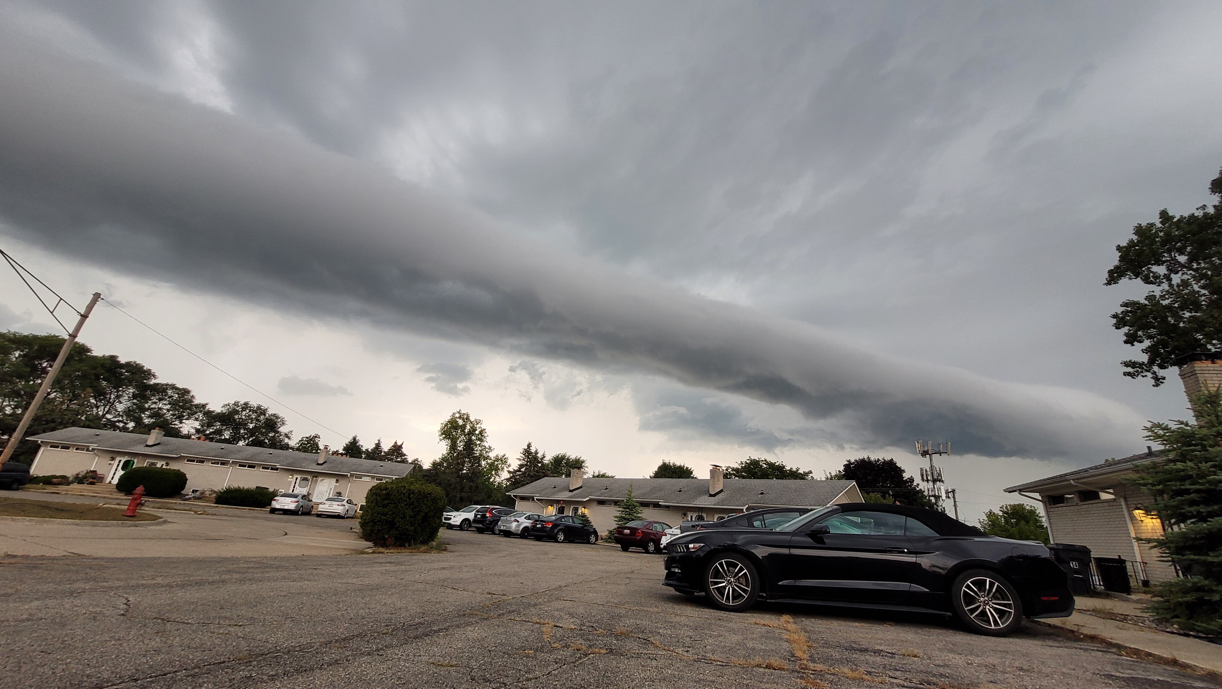
nice hail spike on the warned storm in Allegan County