hlcater
-
Posts
2,670 -
Joined
-
Last visited
Content Type
Profiles
Blogs
Forums
American Weather
Media Demo
Store
Gallery
Everything posted by hlcater
-
 I dont think this will intensify much more. Radar from taiwan is indicative of an EWRC/imperfect core. Passed through at 130kts though, so nothing to scoff at.
 -
2019 Short/Medium Range Severe Weather Thread
hlcater replied to snowlover2's topic in Lakes/Ohio Valley
HRRR and other CAMs are still pretty gung ho on supercells this evening across central and E IA, however CAMs are doing a terrible job handling the MCS in NW IA right now, so I’m highly doubting these solutions. -
2019 Atlantic Hurricane Season
hlcater replied to AfewUniversesBelowNormal's topic in Tropical Headquarters
Random question here, does anyone know if the FV3 is ocean coupled? -
2019 Short/Medium Range Severe Weather Thread
hlcater replied to snowlover2's topic in Lakes/Ohio Valley
Nice little MCS here in CR. Had numerous 50-60mph wind gusts as the gust front passed through. -
2019 Short/Medium Range Severe Weather Thread
hlcater replied to snowlover2's topic in Lakes/Ohio Valley
I think we'll be too far SW, especially initially, but it seems plausible that the ridge settles into a more traditional position centered over the Panhandles with time. Once this happens a more favorable pattern for severe weather/NW flow may return, but I think this is at least 8 or 9 days out. For now, areas in the northeast of the sub have the greatest chances. -
2019 Short/Medium Range Severe Weather Thread
hlcater replied to snowlover2's topic in Lakes/Ohio Valley
The upcoming pattern isn't great at all for severe lovers, which is bad news considering severe weather never really showed up for western portions of the sub(though IN has been having a great season so far). All models build in a suffocating ridge centered directly over the midwest and keep it there for at least a week. Think it's safe to write off any notable chances for severe weather until at least the 4th, if not later. Tomorrow holds some conditional chances of an MCS for IA/IL, but I would like a respectable setup worth chasing. Too much to ask for? Apparently so. As of now, I think I'd have to put the season so far as the worst one since 2013 in my area. -
2019 Short/Medium Range Severe Weather Thread
hlcater replied to snowlover2's topic in Lakes/Ohio Valley
The local severe season has kinda sucked so far, not gonna lie. -
2019 Short/Medium Range Severe Weather Thread
hlcater replied to snowlover2's topic in Lakes/Ohio Valley
From a tornadoes standpoint, Thursday looks more interesting to me than Friday does(Friday seems like it's gonna be upscale city). Very subtle/low key setup in central/western IA but CAMs this evening seem to agree decently enough on 1-2 supercells in a solid environment. SPC doesn't even acknowledge this potential, which for some reason makes me more enthusiastic about it given Iowa's track record with SPC outlooks. -
2019 Short/Medium Range Severe Weather Thread
hlcater replied to snowlover2's topic in Lakes/Ohio Valley
I'm starting to take a rather keen interest in Friday and Saturday for the potential of significant severe weather. A fairly potent upper level system should be centered over the Northern Rockies leaving a belt of seasonally impressive 40-50kt 500mb flow over western parts of the subforum. Friday seems like a fairly typical midwestern warm front setup and the shear parameters along this warm front and at the TP could be quite good with both the FV3 and the legacy GFS indicating 0-1km SRH values of at least 250 m2/s2. Only things I don't like at this range are the weak anvil level winds and poor low level lapse rates(though mid level lapse rates look good at this time courtesy of an EML). Saturday is a bit more of a wild card and obviously depends on how Friday turns out, but the look at 500mb isn't terrible, so I think there's some potential that day as well. EDIT: I've also noticed that PWATs are quite high (~2.00in) and with a strong low level jet and a warm front, probably some potential for training heavy rainfall. -
2019 Short/Medium Range Severe Weather Thread
hlcater replied to snowlover2's topic in Lakes/Ohio Valley
Blue box out for much of IA
-
2019 Short/Medium Range Severe Weather Thread
hlcater replied to snowlover2's topic in Lakes/Ohio Valley
It was a landspout. -
2019 Hurricane (all named Tropical storms) forecast contest
hlcater replied to Roger Smith's topic in Tropical Headquarters
15/7/2 May 1/0/0 June 1/0/0 July 1/1/0 August 3/2/0 September 5/3/1 October 3/1/1 November/December 1/0/0 -
2019 Short/Medium Range Severe Weather Thread
hlcater replied to snowlover2's topic in Lakes/Ohio Valley
Yea, didn’t look like it hit any significant structures. -
2019 Short/Medium Range Severe Weather Thread
hlcater replied to snowlover2's topic in Lakes/Ohio Valley
Today was a rather challenging forecast, at least for me. What made it difficult was that the warm front had similar parameters from Kankakee all the way towards the East Central Iowa triple point. I had originally targeted Rock Island as models had honed in on initiation along the MS river this morning, and had generally held on to that idea through the early afternoon, so off I went to the Quad Cities, after stumbling around there for a few hours, and winding up in some shadier areas of Rock Island, I found a safe spot to check obs. It became evident that the Quad Cities was no longer the place to be and that the triple point in East Central Iowa was looking increasingly favored over IL, particularly noting the extreme levels of 0-3km CAPE(200-250 J/kg), rich mid 70s dewpoints and the fact that it had been sunny in Iowa the whole day, whereas IL had a late morning MCS and midday supercell. Not to mention that a fairly robust patch of cumulus was evident on visible satellite out in Iowa. After seeing that Iowa was clearly becoming the favored target area, I turned back the way I came, minus one tank of gas lol. Eventually posted up in Williamsburg and watched several towers to the south struggle. After about an hour and a half of watching towers go up and back down on themselves, I became increasingly concerned with the possibility of a cap bust, as subsidence was really putting a hamper on these updrafts, and seemingly winning for the time being. A lone storm finally became established at about 5:45pm and slowly began to acquire supercell characteristics. Core punched through perhaps the lamest core ever(heavy rain and pea size hail -- zzzzzz) but was greeted with a nice, broadly rotating wall cloud, but updraft base was still pretty anemic otherwise. This storm would fight for its life during its entire existence. This wall cloud would persist and evolve with several RFD pushes failing to get the job done. I continued to follow the storm east, and the low-level rotation was getting more and more defined with each successive push of the RFD, but still had a long ways to go. As this supercell approached the warm front, it rapidly got its act together and picked up a tornado warning. Not 10 minutes later, a barrel-shaped tornado dropped below the world's most anemic base, which allowed for some spectacular lighting, to be fair. I'm almost certain that the extra vorticity on the warm front and 225 J/kg of 0-3km CAPE are reasons this storm was able to produce such a formidable tornado despite the storm struggling to maintain a consistently strong updraft. (Music is because I totally botched the real audio -- with radio, some tornado tourettes and talking to other chasers, so I just canned and replaced it with some music.) After this tornado occluded over Iowa City, the storm slowly started to succumb to the subsidence as it never regained anything really resembling a healthy updraft base after this tornado. I followed it towards West Branch before letting it go and heading back to Cedar Rapids. This storm went up, produced a significant tornado and died in under 2 hours, that is the part that surprises me. This wasn't a dominant, robust supercell, this was a supercell that did nothing but fight to stay alive as long as it could, which happened to be just long enough that it was able to produce the most impressive single tornado that I've seen so far. What a fantastic way to start off my 2019 chase season!- 594 replies
-
- 12
-

-
2019 Short/Medium Range Severe Weather Thread
hlcater replied to snowlover2's topic in Lakes/Ohio Valley
If the environment in E IA/N IL looks good tomorrow morning, I'll be out there. -
2019 Short/Medium Range Severe Weather Thread
hlcater replied to snowlover2's topic in Lakes/Ohio Valley
That MCS threw down an OFB that is favorably oriented to storm motion vector. If it gets time to cook, could get interesting(in W IL) late this afternoon should redevelopment occur. -
2019 Short/Medium Range Severe Weather Thread
hlcater replied to snowlover2's topic in Lakes/Ohio Valley
Will have to watch the behavior of the late morning MCS tomorrow. Truly has the potential to make/break the setup. On one hand, an OFB given off by MCS could serve as a focus for initiation tomorrow afternoon. On another, it could just plow through and overturn the entire warm sector. Honestly, I'm thinking the latter is the more likely of the two. Primarily because of how late the MCS is progged to come through the target area(~17-19z). This inherently brings a whole host of problems and concerns typically associated with the passage of an MCS. If this thing doesn't weaken like it's expected to, cloud debris and an overturned warm sector are serious issues. Heck, even if this thing *does* weaken as forecasted, could still have remnant cloud cover and subsequent hinderance of destabilization. If you can't tell, I'm highly skeptical of the potential here. If the MCS passes favorably(like they always do, right??), maybe we have an event, but prior experience with these sorts of setups is screaming to me that this MCS won't weaken as quickly as expected and that it persists into NW IN before it becomes detached from MUCAPE gradient and weakens. Even if MCS fails to weaken, south and west portions of the warm sector should be alright, but initiation is super questionable over there. -
2019 Short/Medium Range Severe Weather Thread
hlcater replied to snowlover2's topic in Lakes/Ohio Valley
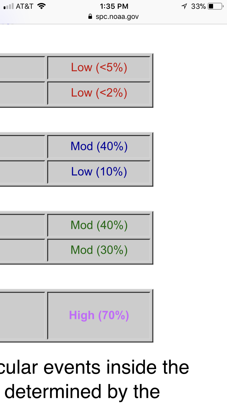
I'd add a 15% hail risk and probably drop the 2% tor. Low-mid 50s dews are the best that can be found today, coupled with mid-upper 70s? That just ain't gon' work. Steep mid level lapse rates between 7.0-7.5 would suggest potential for marginally severe hail with stronger storms though. -
the thread that never dies
-
Central/Western Medium-Long Range Discussion
hlcater replied to andyhb's topic in Central/Western States
Tomorrow looks decent, but I think wednesday looks likely to grow upscale into an MCS rather quickly. -
Central/Western Medium-Long Range Discussion
hlcater replied to andyhb's topic in Central/Western States
That 12z euro was TERRIBLE. In fact, I don’t think I’ve ever seen a worse 10 day run. -
Central/Western Medium-Long Range Discussion
hlcater replied to andyhb's topic in Central/Western States
Probably. We aren’t at record lows(yet) and still have the rest of may, June and July to go. Shots at 1000 closing fast. Best guess I have right now is 800-900 -
Central/Western Medium-Long Range Discussion
hlcater replied to andyhb's topic in Central/Western States
Guys! The ERTAF is showing some hope in the long range! http://atlas.niu.edu/ertaf/ -
Central/Western Medium-Long Range Discussion
hlcater replied to andyhb's topic in Central/Western States
Well the primary jet really likes the northern conus and Canada, so I think sustained periods of AOA 40kts flow over the plains will be hard to come by. Thinking “day-of” events, upslope and boundaries are going to rule the 2nd half of may. However, with sufficient moisture and instability, this can work. -
Central/Western Medium-Long Range Discussion
hlcater replied to andyhb's topic in Central/Western States
2nd week of may looks to be dominated by a pretty hefty ridge in the west based on both operational models and their ensembles. Not sure how long it’ll be after this trough early week. I’d hedge to say that it’s gonna be quiet for at least 5 days after that.