eyewall
-
Posts
12,552 -
Joined
-
Last visited
Content Type
Profiles
Blogs
Forums
American Weather
Media Demo
Store
Gallery
Everything posted by eyewall
-
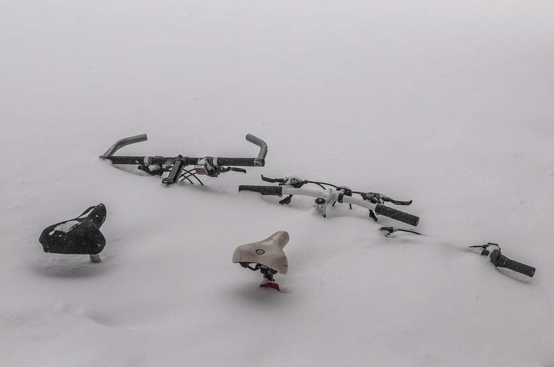
Doesn't look like it will be much in Raleigh.
-
SC is in the middle of a tornado outbreak right now
-
Overall it does not look like the discrete cell scenario is going to play out. It looks like the line with embedded spin ups is what we will have for now.
-
Yeah I don't think we will see a high today. During the April, 16 2011 outbreak in NC the high wasn't issued until the morning of the event.
-
I chased in NC the other day and was in my car in a rural area with nobody else around. As long as you don't make contact with people it should be fine.
-
They are definitely setting the stage to go to high risk tomorrow or on Sunday. Either way if this doesn't bust, this could be a memorable event.
-
Some shots I grabbed of yesterday's action (FB resolution isn't great but it gives a good idea): https://www.facebook.com/profile.php?id=11832585&sk=media_set&set=a.10107145403640739&type=3&hc_location=ufi
-
Slight is gone for NC. As far as a derecho, it would not only have to be a long track swath of damaging winds but also numerous gusts of 75+
-
Slight Risk for tomorrow
-
Happy third anniversary of the Pi Day storm

-
Happy 3rd anniversary of the great Pi Day storm

-
I was on Long Island at the time. We had a lot of wind damage and coastal flooding. There was snow on the back end which I believe resulted in 2 or 3 inches or so.
-
That is a nice hit. I am guessing Jay Peak will slant stick 65"
-
Reminds me of th Reminds me of the upslope I chased the winter before moving up there.
-
Based on the GFS and Euro runs early this morning, the March 4th system would be more cutter like leaving us warm and facing more a severe weather threat than any kind of wintry precip. After that the pattern goes to crap once again. Prior to this, there are a few weak waves that die as they cross the NC mountains during the brief cold shot. The mountains may pick up a couple of light snow events with those disturbances.
-
I did take the pic and yes I would be.
-
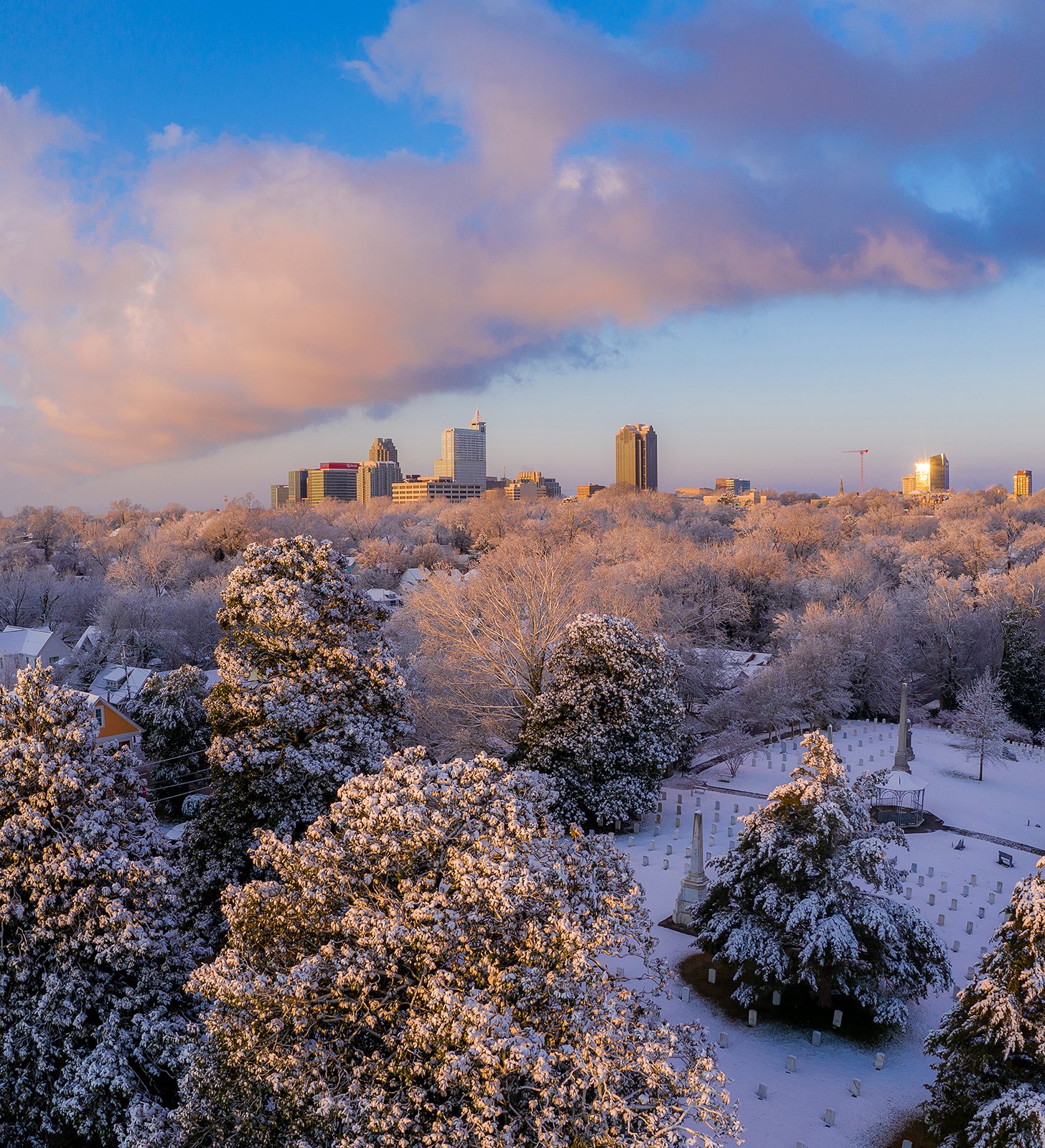
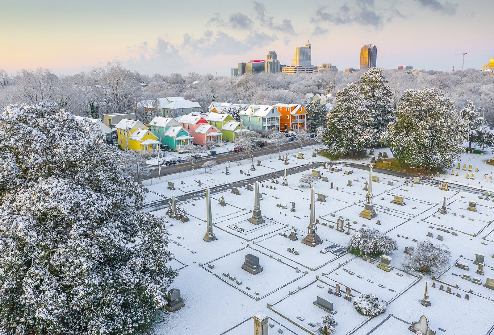
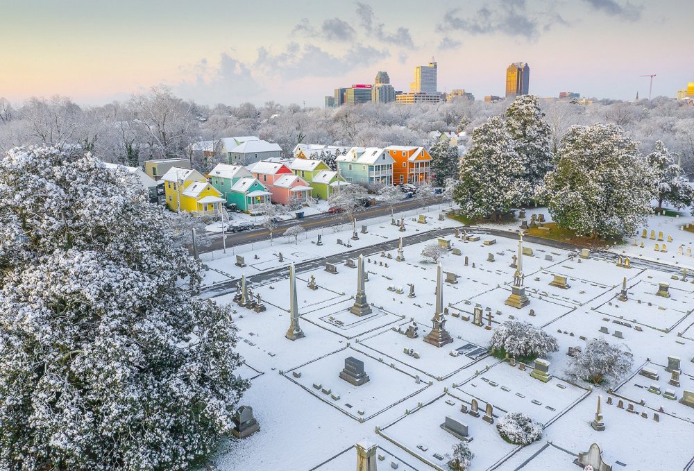
One more from this morning in Raleigh:

-
From Raleigh this morning at surise
- 759 replies
-
- 22
-

-

-
Looks like we will end with about 2 inches on the colder surfaces in Raleigh. Pics tomorrow. I love that I was wrong in my prediction.
-
Looks like it is winding down in Raleigh. We will come in on the low end of the range.
-
By oakwood
-
Probably passing an inch here in Raleigh.
-
First 0.1" down in Raleigh. Snowing quite hard now.
-
Back to mostly snow here in the Mordecai area of Raleigh
-
Rain now in Raleigh