sbnwx85
-
Posts
1,783 -
Joined
-
Last visited
Content Type
Profiles
Blogs
Forums
American Weather
Media Demo
Store
Gallery
Everything posted by sbnwx85
-
I didn't think it would be possible two months ago, but we are now below average on snowfall for the season. What an odd winter...terrible for many snow-lovers.
-
52 and full sun. Absolutely gorgeous weather in February. Wind hasn’t kicked in yet. I might plant a palm tree today.
-

February 8-9 Should There Be a Thread For This Storm
sbnwx85 replied to Hoosier's topic in Lakes/Ohio Valley
Good call, @Hoosier IWX just issued a rare High Wind Watch. URGENT - WEATHER MESSAGE National Weather Service Northern Indiana 230 PM EST Tue Feb 7 2023 INZ005>009-012>015-017-018-020-022>027-032>034-103-104-116-203- 204-216-MIZ078>081-177-277-OHZ001-002-004-005-015-016-024-025- 080330- /O.NEW.KIWX.HW.A.0001.230209T1200Z-230210T0000Z/ Elkhart-Lagrange-Steuben-Noble-De Kalb-Starke-Pulaski-Marshall- Fulton IN-Whitley-Allen IN-White-Cass IN-Miami-Wabash-Huntington- Wells-Adams-Grant-Blackford-Jay-Northern La Porte- Eastern St. Joseph IN-Northern Kosciusko-Southern La Porte- Western St. Joseph IN-Southern Kosciusko-Cass MI-St. Joseph MI- Branch-Hillsdale-Northern Berrien-Southern Berrien-Williams- Fulton OH-Defiance-Henry-Paulding-Putnam-Van Wert-Allen OH- Including the cities of Elkhart, Goshen, Nappanee, Lagrange, Topeka, Shipshewana, Angola, Fremont, Kendallville, Ligonier, Albion, Auburn, Garrett, Knox, North Judson, Bass Lake, Winamac, Francesville, Medaryville, Plymouth, Bremen, Culver, Rochester, Akron, Columbia City, Tri-Lakes, South Whitley, Fort Wayne, New Haven, Monticello, Monon, Brookston, Logansport, Royal Center, Peru, Grissom AFB, Mexico, Wabash, North Manchester, Huntington, Roanoke, Bluffton, Ossian, Decatur, Berne, Marion, Gas City, Upland, Hartford City, Montpelier, Portland, Dunkirk, Michigan City, La Porte, Kingsbury, Fish Lake, South Bend, Mishawaka, Lakeville, Granger, Syracuse, Milford, North Webster, Leesburg, Wanatah, La Crosse, Union Mills, North Liberty, New Carlisle, Walkerton, Warsaw, Winona Lake, Silver Lake, Mentone, Dowagiac, Cassopolis, Edwardsburg, Marcellus, Sturgis, Three Rivers, White Pigeon, Mendon, Coldwater, Bronson, Hillsdale, Jonesville, Litchfield, Benton Harbor, St. Joseph, Paw Paw Lake, Niles, New Buffalo, Stevensville, Berrien Springs, Bryan, Edgerton, Wauseon, Archbold, Swanton, Delta, Defiance, Sherwood, Hicksville, Napoleon, Deshler, Liberty Center, Paulding, Antwerp, Payne, Ottawa, Leipsic, Columbus Grove, Continental, Pandora, Van Wert, Ohio City, Lima, and Spencerville 230 PM EST Tue Feb 7 2023 /130 PM CST Tue Feb 7 2023/ ...HIGH WIND WATCH IN EFFECT FROM THURSDAY MORNING THROUGH THURSDAY EVENING... * WHAT...Southwest winds 25 to 35 mph with frequent gusts of 45 to 55 mph. Isolated gusts up to 60 mph possible. * WHERE...Portions of northern Indiana, southwest Michigan and northwest Ohio. * WHEN...From Thursday morning through early Thursday evening. * IMPACTS...Damaging winds could blow down trees and power lines. Power outages are possible. Travel could be difficult, especially for high profile vehicles. -
Winter 2022/23 Short/Medium Range Discussion
sbnwx85 replied to Chicago Storm's topic in Lakes/Ohio Valley
We'll see... -
If it comes with the same severe weather outbreak, I'll allow it.
-
I was working in Central IL at the time. It was a solid storm with 10" of snow in Jacksonville/Springfield, but I was jealous of the wind and monster totals my family was getting back home in Indiana. I think a Blizzard Warning went into effect for a while for IWX.
-
That week in November really padded the stats in South Bend. 30.2" in November, 8.9" in December, and 7.5" in January. 46.6" on the season...Last year at this time we had 24.8".
-
Mood flakes currently. I’ll take it.
-
If it means another heat wave like March 2012 I’m all for it…minus the subsequent drought that summer.
-
Just a light glaze of ice here.
-
Sun just came out which is nice.
-
Would think IWX would issue one too for the far northwest counties. Get the word out now about the freezing rain threat. I’ve seen what happens when salt isn’t out down on roads before just a tenth of an inch of glaze adds up…it ain’t pretty.
-
HRRR keeps me all freezing rain now. Maybe a tenth of an inch of ice? I’ll be home before it starts thankfully.
-
Winter 2022/23 Short/Medium Range Discussion
sbnwx85 replied to Chicago Storm's topic in Lakes/Ohio Valley
It's snowing off and on but with temps at or just above freezing the roads are just wet. -
Winter 2022/23 Short/Medium Range Discussion
sbnwx85 replied to Chicago Storm's topic in Lakes/Ohio Valley
Finally got a squall to hold together long enough to make it here. Good stuff. -
I'm on the edge of either adding an inch or two of snow or losing an inch or two of snow before the arctic air moves in next week. Pretty neat.
-
When you think there's a trend southward:
-
Midwest/Ohio Valley/Great Lakes Snow January 24-26
sbnwx85 replied to Baum's topic in Lakes/Ohio Valley
Snow depth around 4.5" -
Same.
-
Winter 2022/23 Short/Medium Range Discussion
sbnwx85 replied to Chicago Storm's topic in Lakes/Ohio Valley
Two days ago it looked like there could be a decent system in the Great Lakes in the middle of next week. Now both GFS and Euro have a big Canadian high traversing the area. -
Midwest/Ohio Valley/Great Lakes Snow January 24-26
sbnwx85 replied to Baum's topic in Lakes/Ohio Valley
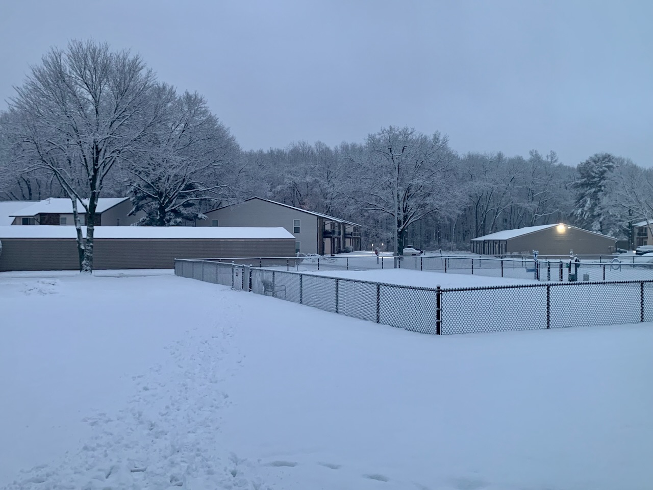
An inch of new snow overnight. Everything is caked with white.
-
Midwest/Ohio Valley/Great Lakes Snow January 24-26
sbnwx85 replied to Baum's topic in Lakes/Ohio Valley
Compaction and melting have us down to about 3.3 inches after getting up to 4. RAP and HRRR have between 2 and 6 inches of lake effect coming depending on where banding sets up. -
NAM says...you're right.
-
Just a 50 mile shift south would be great on the GFS.
-
I have a feeling I'll be riding the edge of rain/snow here. Could end up with a slushy mess.