sbnwx85
-
Posts
1,933 -
Joined
-
Last visited
Content Type
Profiles
Blogs
Forums
American Weather
Media Demo
Store
Gallery
Everything posted by sbnwx85
-
Went ahead and stole it from Twitter:
-

2023 Short/Medium Range Severe Weather Discussion
sbnwx85 replied to Chicago Storm's topic in Lakes/Ohio Valley
Nice rumblers this evening setting the mood. -
Winter 2022/23 Short/Medium Range Discussion
sbnwx85 replied to Chicago Storm's topic in Lakes/Ohio Valley
Done following snowstorms. -
2023 Short/Medium Range Severe Weather Discussion
sbnwx85 replied to Chicago Storm's topic in Lakes/Ohio Valley
Slick. -
Winter 2022/23 Short/Medium Range Discussion
sbnwx85 replied to Chicago Storm's topic in Lakes/Ohio Valley
Excited to explain why I'm playing this in the newsroom. -
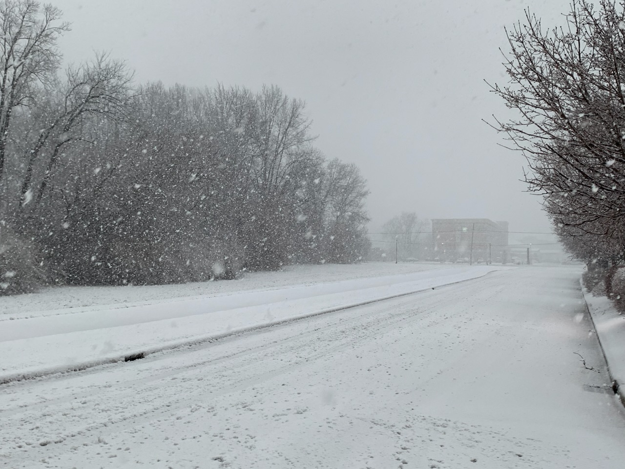
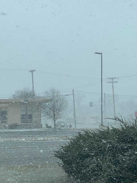
Just watched a wall snow falling on one side of the street while I was dry and it quickly advance to my side of the street. Actually one of the coolest weather phenomena I’ve ever seen!
-
Lake effect is convective in nature. Full sun followed by heavy snow followed by sun. All within 15 minutes.
-
weatherbo going 2 b buried this weekend.
-
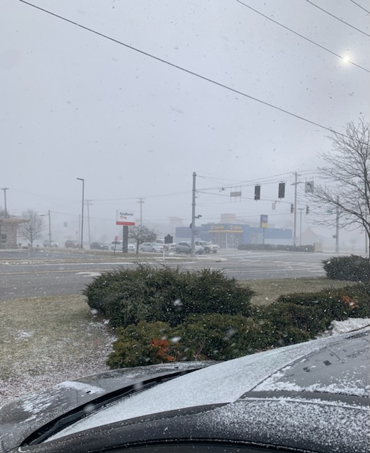
The 2” from this morning is gone but Lake Michigan is hard at work to replenish.
-
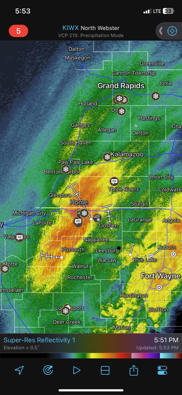
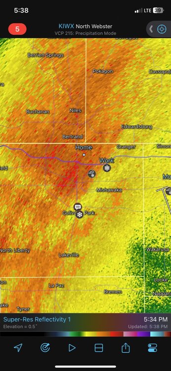
IWX thinks the best stuff will be just to my west.
-
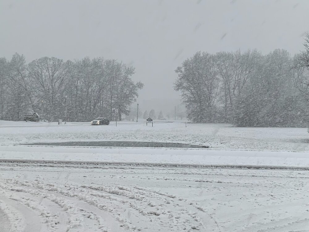
At one point this morning we had about 2" of new snow on the ground in South Bend. But the sun came out and we're down to about an inch. Lake effect could drop a very localized 4" somewhere late this afternoon into tonight in SW MI/N IN.
-
In Mount Prospect tonight and measured 1.2” on the grass.
-
I’ll be riding this one out in the Des Plaines/Mt. Prospect area. Liking this spot.
-
GFS still juicy for those of us along the I-90 and I-94 corridors.
-
Quad Cities issues a watch...a bit of a wide range on totals. National Weather Service Quad Cities IA IL 233 PM CST Tue Mar 7 2023 IAZ040>042-051>054-ILZ001-002-007-080445- /O.NEW.KDVN.WS.A.0004.230309T1800Z-230310T1500Z/ Buchanan-Delaware-Dubuque-Benton-Linn-Jones-Jackson-Jo Daviess- Stephenson-Carroll- Including the cities of Independence, Manchester, Dubuque, Vinton, Cedar Rapids, Anamosa, Maquoketa, Galena, Freeport, and Mount Carroll 233 PM CST Tue Mar 7 2023 ...WINTER STORM WATCH IN EFFECT FROM THURSDAY AFTERNOON THROUGH FRIDAY MORNING... * WHAT...Heavy snow possible. Total snow accumulations of 3 to 9 inches possible. Winds could gust as high as 35 mph. * WHERE...Portions of northwest Illinois and east central and northeast Iowa. * WHEN...From Thursday afternoon through Friday morning. * IMPACTS...Travel could be very difficult. The hazardous conditions could impact the morning or evening commute.
-
Having this snow fall mostly during overnight hours should help a bit with accumulations.
-
Another storm riding the rain/snow line only to end up with like 3" of slop.
-
First rumbles of the year!
-
Ended up with 3” on pavement. Around 5”-6” on grass. Not the big dog I was hoping for but it was fun to track and walking around in the death band was a blast. I’ll take what I can get.
-
3" on the pavement and cars
-
Somewhere between 1"-2" per hour rates right now.
-
Absolutely bonkers. +SN w/ winds around 20 mph. If this band can hold overhead while the low pivots we’ll get crushed. 32 degrees and average of 2.5” on the ground.

-
Heaviest returns just to my west. Wish I could work from home today.
-
Back to all snow. Impressive radar returns moving in.