sbnwx85
-
Posts
1,928 -
Joined
-
Last visited
Content Type
Profiles
Blogs
Forums
American Weather
Media Demo
Store
Gallery
Everything posted by sbnwx85
-
Impressive squall line by December standards in Illinois rn
-
Feels like spring storms should be on the way.
-
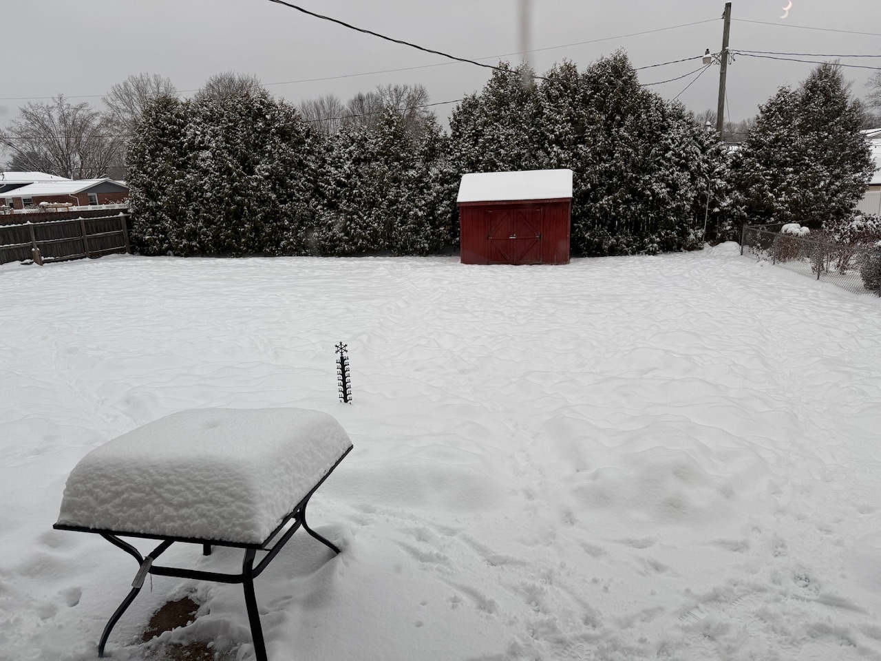
Picked up 1.5” from the lake. Still getting occasional snow showers but it’s compacting faster than it can accumulate. 4” snow depth. Savoring it before the torch.
-
DAB from the system this afternoon. We’re already seeing some streamers come off the lake. That should get better organized tonight. Accumulations should stay in check at around 3”. IWX opted not to go with a WWA, despite GRR doing so with the same accumulation expected. GRR says to snow+v cold=travel troubles. I have to agree.
-
Lake enhancement should bump totals to 3-4” here for clipper #2.
-

Winter 2025-26 Medium/Long Range Discussion
sbnwx85 replied to michsnowfreak's topic in Lakes/Ohio Valley
If you can’t beat ‘em, torch ‘em. -
It’s lake effect raining now. I hate it. Makes me angrier than Beavis during an El Niño winter.
-
Kinda rippin now. Too bad temps are marginal.
-
It’s not officially winter in the Midwest until we get a good Beavis rant . Nothing we can do to control the weather but it is frustrating.
-
Winter 2025-26 Short Range Discussion
sbnwx85 replied to SchaumburgStormer's topic in Lakes/Ohio Valley
Congrats Decatur -
Snow mixing back in now. The lake effect squall forecast on the HRRR looks impressive this afternoon. Should rip for a couple of hours.
-
Winter 2025-26 Short Range Discussion
sbnwx85 replied to SchaumburgStormer's topic in Lakes/Ohio Valley
Clipper train going off the rails. -
Took a blizzard to shut down Valpo in 2007. Only weather-related day off I got in four years. Times have changed.
-
Still have a snow depth of about 3”. Some light to moderate lake snow potential today and Sunday before the torch.
-
Winter 2025-26 Short Range Discussion
sbnwx85 replied to SchaumburgStormer's topic in Lakes/Ohio Valley
Kind of shocking to see clippers take the exact same track back to back. -
Man, I love driving through WV in the summer. I can only imagine how gorgeous it must be with snow!
-
What limited research I've done on those winters shows they started with northwest flows and clippers laying down a good snowpack before bigger storms came in from the southwest. Would be epic to cash in on the same this season.
-
HRRR might be overdoing the lake-effect, but it's putting down 2-3" on Wednesday/Wednesday night out this way. Would obviously take it.
-
Winter 2025-26 Medium/Long Range Discussion
sbnwx85 replied to michsnowfreak's topic in Lakes/Ohio Valley
Snowpack will take a hit, but we need to eventually get out of the northwest flow pattern. Maybe it will set up a big dog for the New Year. -
Picked up 0.2” of snow overnight. Nice turd duster before the rain moves in tonight.
-
Winter 2025-26 Medium/Long Range Discussion
sbnwx85 replied to michsnowfreak's topic in Lakes/Ohio Valley
Saturday looking interesting. -
It’s like the Arctic Circle out there. I love it.
-
Dec 6-7th (It's not a clipper) Clipper
sbnwx85 replied to Chicago Storm's topic in Lakes/Ohio Valley
Ended at 2.7”. A little more than 9” on snow depth. Nice refresher.
-
Dec 6-7th (It's not a clipper) Clipper
sbnwx85 replied to Chicago Storm's topic in Lakes/Ohio Valley
2.2” so far. -
Winter 2025-26 Short Range Discussion
sbnwx85 replied to SchaumburgStormer's topic in Lakes/Ohio Valley
Could crank the lake effect machine in these parts big time