StormchaserChuck!
-
Posts
2,274 -
Joined
-
Last visited
Content Type
Profiles
Blogs
Forums
American Weather
Media Demo
Store
Gallery
Everything posted by StormchaserChuck!
-

2019 ENSO
StormchaserChuck! replied to AfewUniversesBelowNormal's topic in Weather Forecasting and Discussion
Yeah, the global system is not going to go La Nina below -0.8c 3.4 ONI. Weird. Invest in stocks. -
2019 ENSO
StormchaserChuck! replied to AfewUniversesBelowNormal's topic in Weather Forecasting and Discussion
^Looks like a Moderate Nina coming, as per the subsurface. Will be interesting to see if the surface 3.4 breaks -0.7 now or in the next 3 years. (Tao/Triton isn't as strong, I've found better correlation in TAO/Triton). -
2020 Atlantic Hurricane Season
StormchaserChuck! replied to Windspeed's topic in Tropical Headquarters
La Nina going in the Pacific subsurface.. I found a correlation of hurricane season subsurface vs surface 0.97 to 0.83 vs the 0.97 to 0.90. So it's a La Nina... but no severe wx season really, and a lot of blandness right now in the atmosphere will probably keep us away from Cat 4s or 5s. -
2019 ENSO
StormchaserChuck! replied to AfewUniversesBelowNormal's topic in Weather Forecasting and Discussion
Subsurface certainly looks like healthy La Nina.. it won't go there I think officially.. "Nuetral" global conditions are too prevalent (maybe we'll max out -0.5 to -0.7). https://www.pmel.noaa.gov/tao/drupal/assorted_plots/images/TAO_5Day_EQ_xz.gif -
The high rainfall increases chances for -NAO Winter..
-
The drought is in the upper atmosphere. Wait until towering cumulonibus start happening again and watch how Drought is at the surface.
-
Arctic Sea Ice Extent, Area, and Volume
StormchaserChuck! replied to ORH_wxman's topic in Climate Change
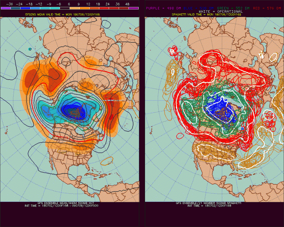
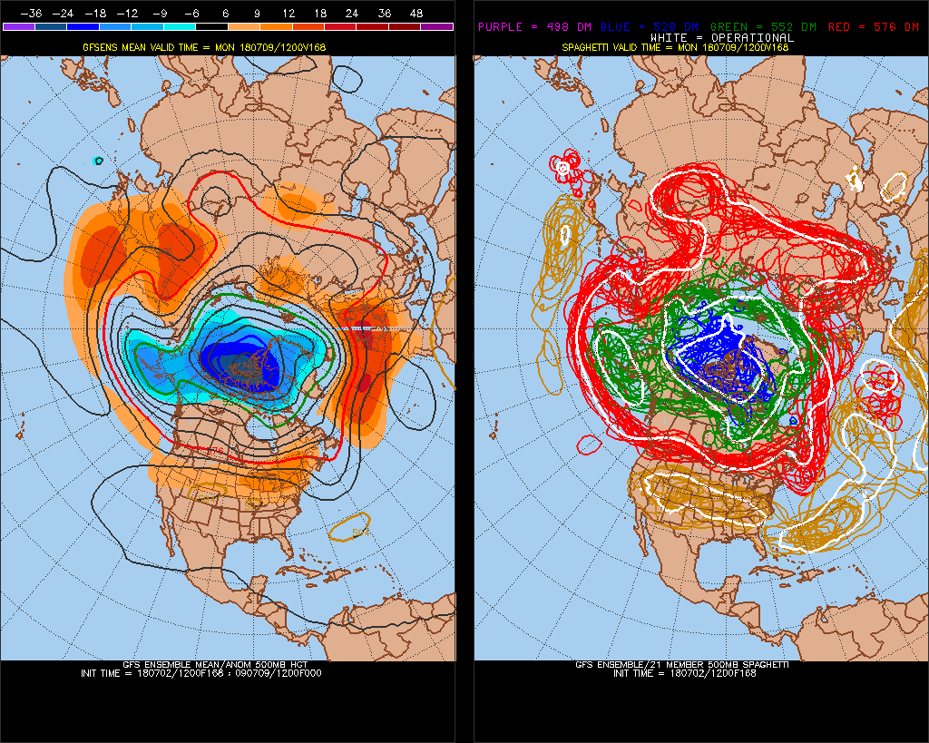
Things have trended pretty strongly away from +AO today. Warmer at the surface trend looks to continue, perhaps significantly. I think there will be a lot of +500mb heights in the Arctic circle for July. Also, Pacific-squeezed north Hadley Cell sustainable rarely works in verification.. more blocking over the Pole. -
Arctic Sea Ice Extent, Area, and Volume
StormchaserChuck! replied to ORH_wxman's topic in Climate Change
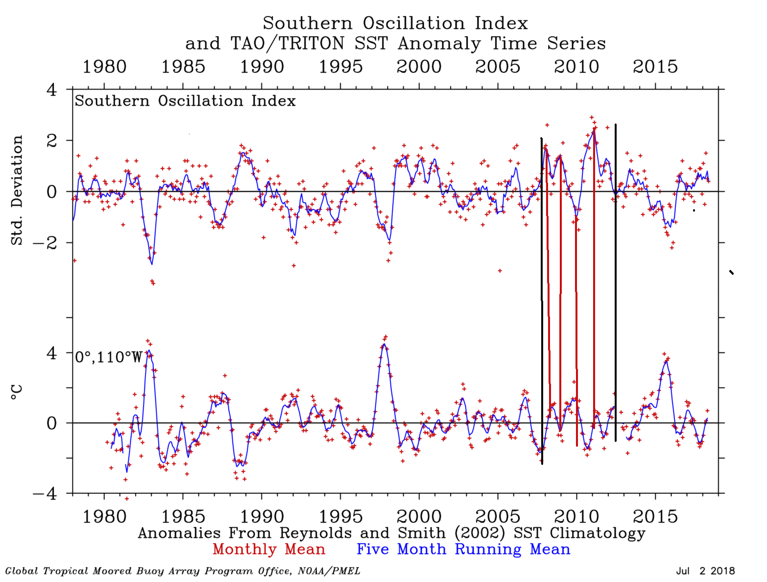
This is pretty cool, SOI and ENSO SST correlate more (not in reverse) when arctic ice is melting (2007-2012).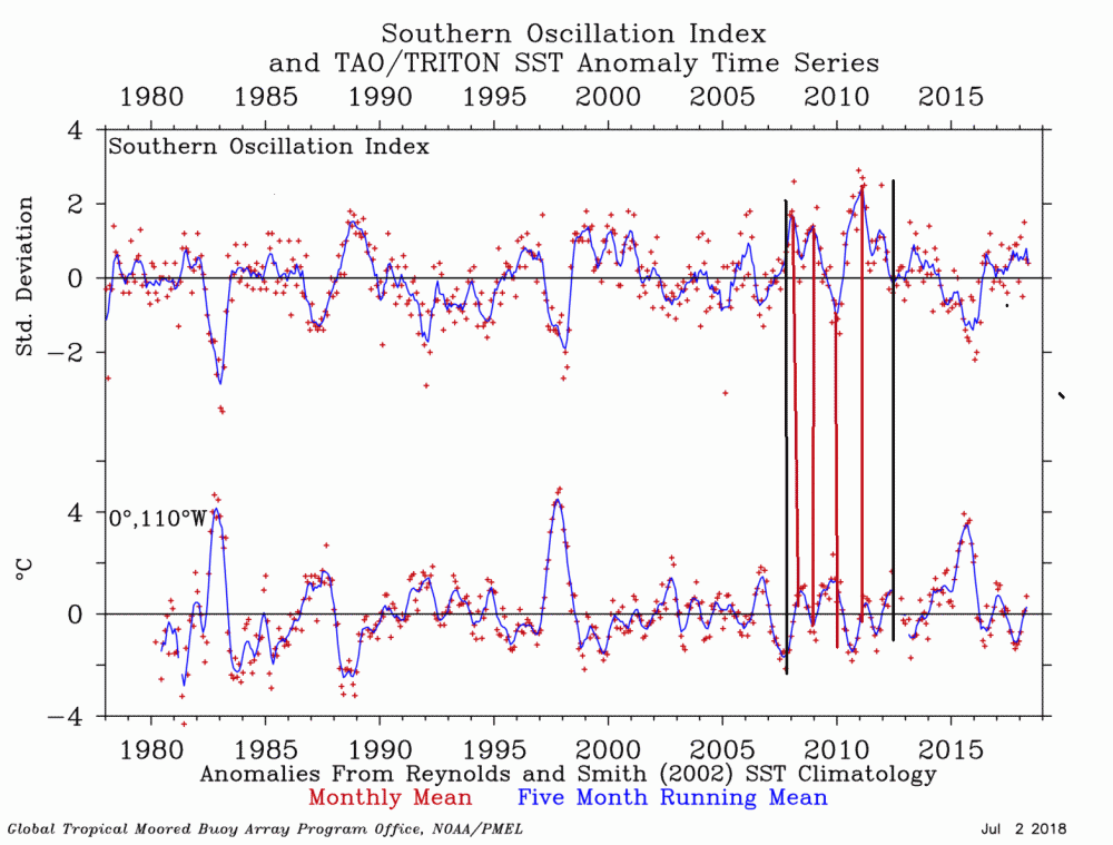
-
Arctic Sea Ice Extent, Area, and Volume
StormchaserChuck! replied to ORH_wxman's topic in Climate Change
This is kind of ridiculous. At least models are picking up on stuff.