

Daniel Boone
-
Posts
3,542 -
Joined
-
Last visited
Content Type
Profiles
Blogs
Forums
American Weather
Media Demo
Store
Gallery
Everything posted by Daniel Boone
-

Spring/Summer 2022 Medium/Long Range Forecast Discussion.
Daniel Boone replied to John1122's topic in Tennessee Valley
Agree. Not looking good. -
Had a dusting on house tops this morning. Vehicles were covered by 4 p.m. yesterday in Wise while I was up there. Don't know how much they wound up with. College Camera's down so no estimation from it.
-
Spring/Summer 2022 Medium/Long Range Forecast Discussion.
Daniel Boone replied to John1122's topic in Tennessee Valley
Those point forecasts are so about what I'd call childish sometimes. So unprofessional. Freezing rain in April with still very cold upper levels in the morning. What a joke. -
Spring/Summer 2022 Medium/Long Range Forecast Discussion.
Daniel Boone replied to John1122's topic in Tennessee Valley
I've found KMRX estimated snow accumulation boundaries to be about 1000 ft too high, at least up here. -
2021-2022 Fall/Winter Mountains Thread
Daniel Boone replied to BlueRidgeFolklore's topic in Southeastern States
The SSW PV split 2 to 3 weeks ago is showing it's effects. IF that super cold dump that goes into the intermountain west and western high plains next week as we warm presses eastward fast enough, we could be looking at another shot at snow later in the month as the run shows. -
Spring/Summer 2022 Medium/Long Range Forecast Discussion.
Daniel Boone replied to John1122's topic in Tennessee Valley
I don't know but, not only are some things looking that way but, I also have a gut feeling we go dry and hot this summer. I hope I'm wrong. -
2021-2022 Fall/Winter Mountains Thread
Daniel Boone replied to BlueRidgeFolklore's topic in Southeastern States
Yeah, looking very interesting at this juncture. May be the biggest April Snowfall in several years in the area. -
Spring/Summer 2022 Medium/Long Range Forecast Discussion.
Daniel Boone replied to John1122's topic in Tennessee Valley
I agree on turning dry this summer. -
Had some light snow earlier today. No accs but, a bit of a surprise.
-
Mainly wind with system here. Just measured 0.15" Rainfall.
-
Where's your thermometer sensor?
-
Was up at 4:15 last night and looked out and it was snowing quarter sized thick flakes. A light dusting was in spots on grass.
-
Ryan is top notch. A go to guy for legitimate honesty. Whether it be Severe or Snowfall forecasting.
-
Spring/Summer 2022 Medium/Long Range Forecast Discussion.
Daniel Boone replied to John1122's topic in Tennessee Valley
My Dad said his grandfather told him about that. He said the corn was knee high and the snow bent it over but, the sun came out later that day and melted it and the corn made it ok. Dr Dewpoint had an article of 2 back to back heavy snow's May 20 and 24th 1894 in Central and Eastern Kentucky. -
March 11th-13th Winter Weather Event. Winter's last gasp?
Daniel Boone replied to Windspeed's topic in Tennessee Valley
Spoke with KMRX last night about the NOHRSC debacle amongst other things. Hopefully, we can see what's going on and correct the problem. -
March 11th-13th Winter Weather Event. Winter's last gasp?
Daniel Boone replied to Windspeed's topic in Tennessee Valley
Hope your Dogs o.k. man. -
March 11th-13th Winter Weather Event. Winter's last gasp?
Daniel Boone replied to Windspeed's topic in Tennessee Valley
I just sent a message to NORSC irt to the erroneous snowfall map. Hopefully, something will get seen into. Enough of the piss poor inaccurate crap. I'm a stickler for accuracy and bs like that just stokes me royally. It wouldn't hurt for some of you guy's to message them as well. -
March 11th-13th Winter Weather Event. Winter's last gasp?
Daniel Boone replied to Windspeed's topic in Tennessee Valley
I'm going to try to contact someone regarding this. I don't know what's causing that or the reason. That's just rediculous. -
March 11th-13th Winter Weather Event. Winter's last gasp?
Daniel Boone replied to Windspeed's topic in Tennessee Valley
Omg...they are way off ! -
Spring/Summer 2022 Medium/Long Range Forecast Discussion.
Daniel Boone replied to John1122's topic in Tennessee Valley
Yep. Judah Cohen said a Strat split could lead to a cold eastern US. My thinking effects look to be early April. Sure hope not. -
March 11th-13th Winter Weather Event. Winter's last gasp?
Daniel Boone replied to Windspeed's topic in Tennessee Valley
Lol. Yeah really. They definitely won't own it. Their 3-4" forecast for here was less than half of received. What gets me is, with Model trends, Radar and upstream reports it was obvious as of early last evening this would be a major Snow event. -
March 11th-13th Winter Weather Event. Winter's last gasp?
Daniel Boone replied to Windspeed's topic in Tennessee Valley
Snow is melting from the ground up due to ground warmth. Some from Sun also as March Ray's are pretty strong. -
March 11th-13th Winter Weather Event. Winter's last gasp?
Daniel Boone replied to Windspeed's topic in Tennessee Valley
Congrats man ! Storm played out pretty much as expected. Really blew away NWS Forecasted amounts as expected. -
March 11th-13th Winter Weather Event. Winter's last gasp?
Daniel Boone replied to Windspeed's topic in Tennessee Valley
-
March 11th-13th Winter Weather Event. Winter's last gasp?
Daniel Boone replied to Windspeed's topic in Tennessee Valley
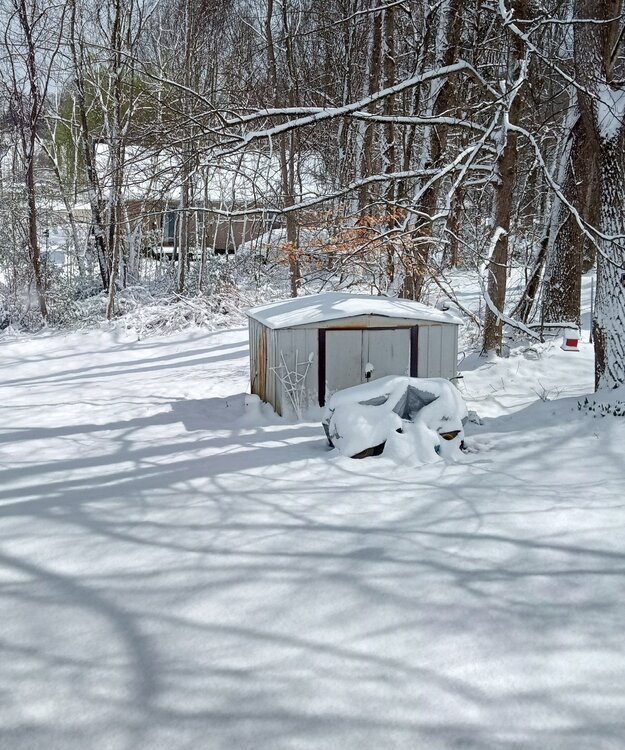
8 inches here in Jonesville now.


