tuanis
-
Posts
763 -
Joined
-
Last visited
About tuanis

- Birthday September 17
Recent Profile Visitors
5,136 profile views


-
I’m in Libertyville. The sirens went off three times and are now fully automated with no human involvement. The first was when the severe thunderstorm warning was issued (this is new that the sirens blare for severe thunderstorm warnings). The second was when the first tornado warning was issued. Emergency alerts went off on our phones and tablets at that time. The third was either a separate tornado warning where the polygon included Libertyville, or an update. I was busy with my kids so I wasn’t quite sure. No emergency alert that time. Either way, the threat had not passed looking at radar, even though all we really saw on the ground was wicked lightning, basically no wind, and buckets of rain… although the skies didn’t open up until after the three sirens, the warnings had expired, and the threat had passed. The sirens also went off for the severe thunderstorm warning Tuesday evening. So that makes four sirens this week. People have been talking about it and have opinions. It’s not a perfect system at all.
-
1/30-1/31 Lake Effect Snow Threat - SE WI, NE IL, and NW IN
tuanis replied to A-L-E-K's topic in Lakes/Ohio Valley
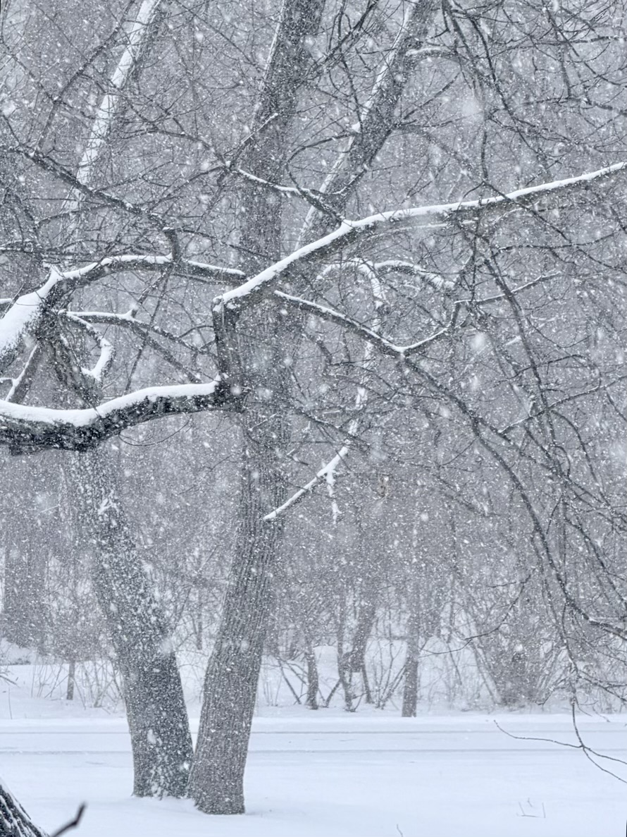
Gettin the goods up here… for now
-
Winter 2025-26 Short Range Discussion
tuanis replied to SchaumburgStormer's topic in Lakes/Ohio Valley
Solid Wednesday morning surprise. The kids are amped.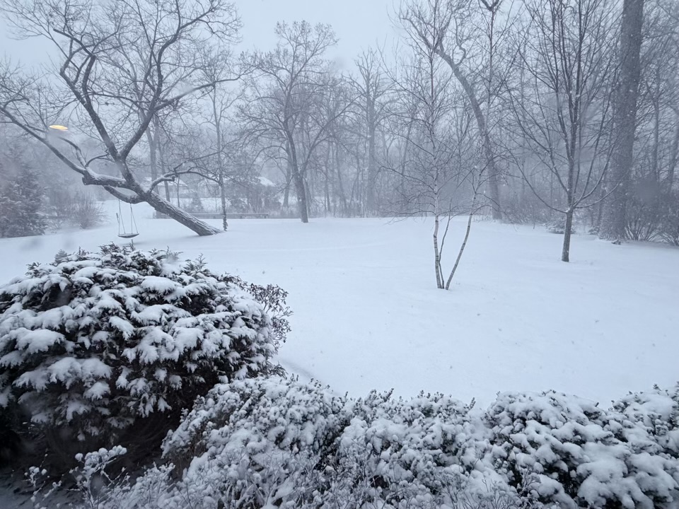
-
Epic. Remember when it wouldn’t snow or every event would underwhelm?

- 97 replies
-
- 12
-

-
Nov 28-30th Post Turkey Day Winter Storm
tuanis replied to Chicago Storm's topic in Lakes/Ohio Valley
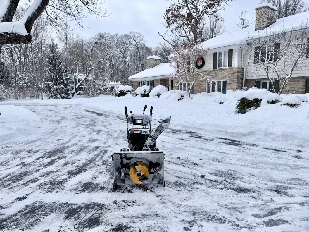
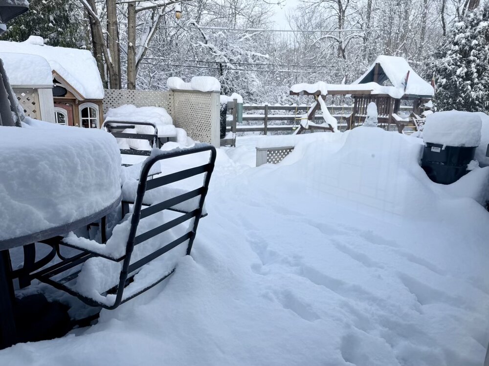
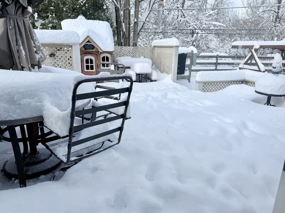
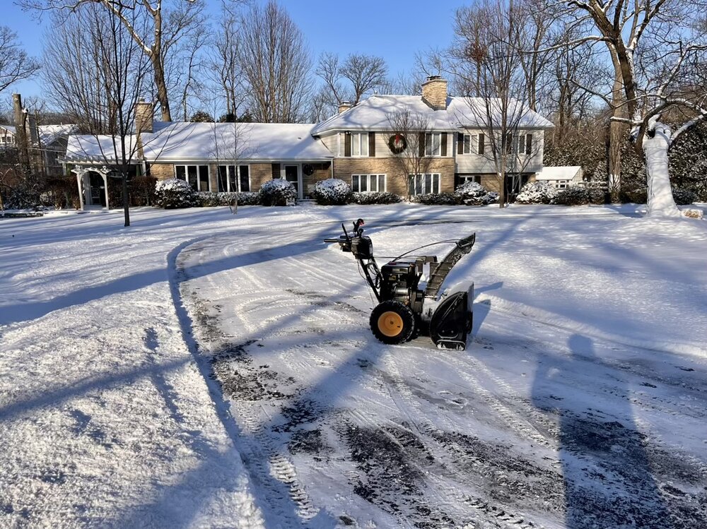
Somewhere around 11” here. An over-performing big dog. More photos to come once I get out there to clean up the driveway.
-
Nov 28-30th Post Turkey Day Winter Storm
tuanis replied to Chicago Storm's topic in Lakes/Ohio Valley
Stackin’ flakes fast during the day in November. Chef’s kiss. Just shy of 4” already -
Nov 28-30th Post Turkey Day Winter Storm
tuanis replied to Chicago Storm's topic in Lakes/Ohio Valley
Still pretty light rates here, closing in on an inch. Hope this afternoon cranks, probably another 10 hours or so of accumulating snow to go. -
Nov 28-30th Post Turkey Day Winter Storm
tuanis replied to Chicago Storm's topic in Lakes/Ohio Valley
In November, no less. Hoping for 8” here, anything more is bonus snow. -
11/8-11/10 First Snow and Lake Effect Event
tuanis replied to Geoboy645's topic in Lakes/Ohio Valley
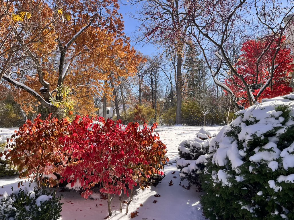
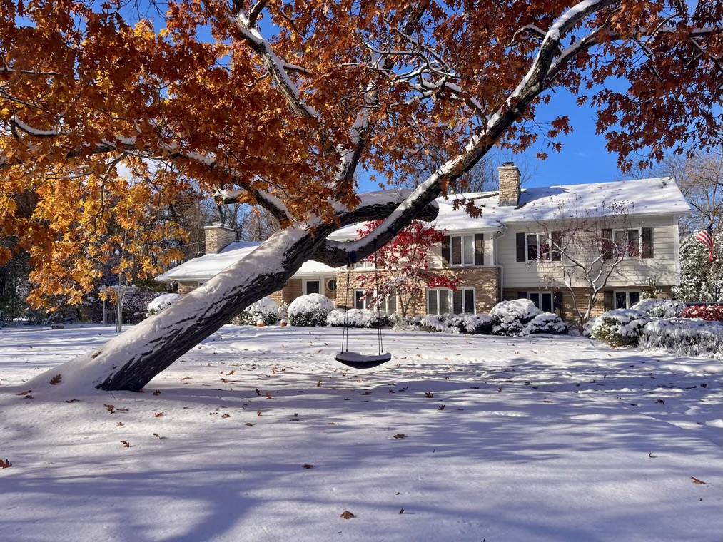
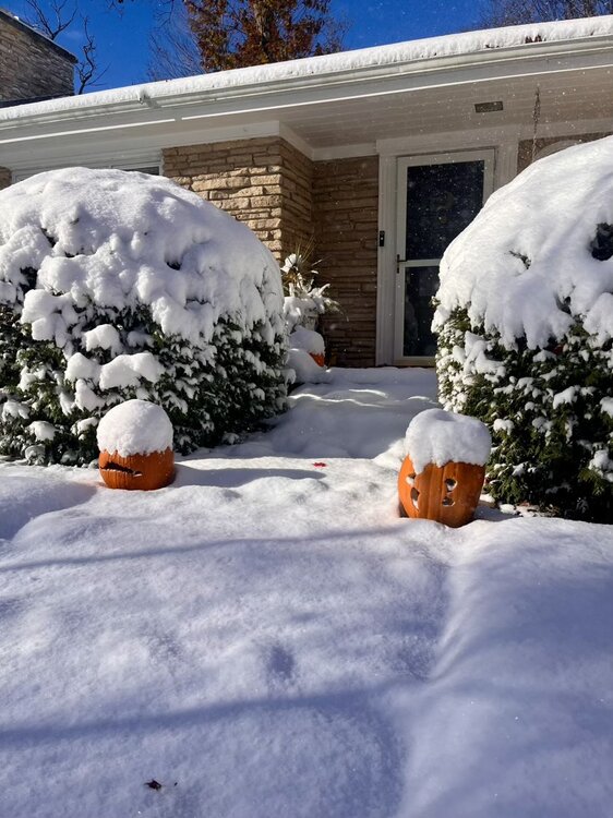
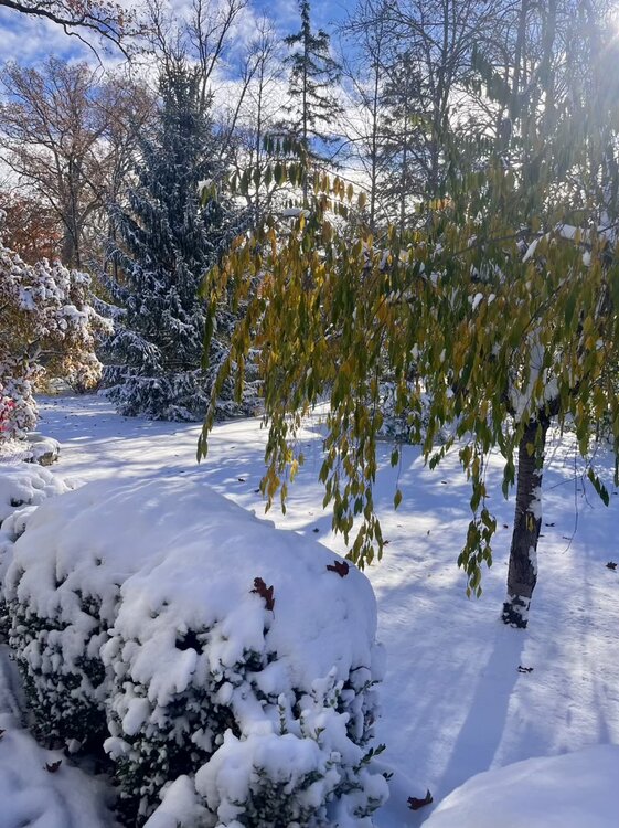
The combo of the fresh snow and the remaining fall foliage can’t be beat. It’s already melting off the warm-ish driveway, I’m not even going to shovel. Score!
-
11/8-11/10 First Snow and Lake Effect Event
tuanis replied to Geoboy645's topic in Lakes/Ohio Valley
Ended up with about 6” of lake effect fluff here in Libertyville. Better not be our best storm of the winter
- 213 replies
-
- 14
-
-
A++ snow bunny, the tulips take it over the top. Now you've got me hoping for one last sticking snow so I can do the same with my kids.
-
Bit over 2”
-
Looks like DVN will finally saturate shortly before the back edge moves through. Going to be fighting dry air for awhile methinks.
-
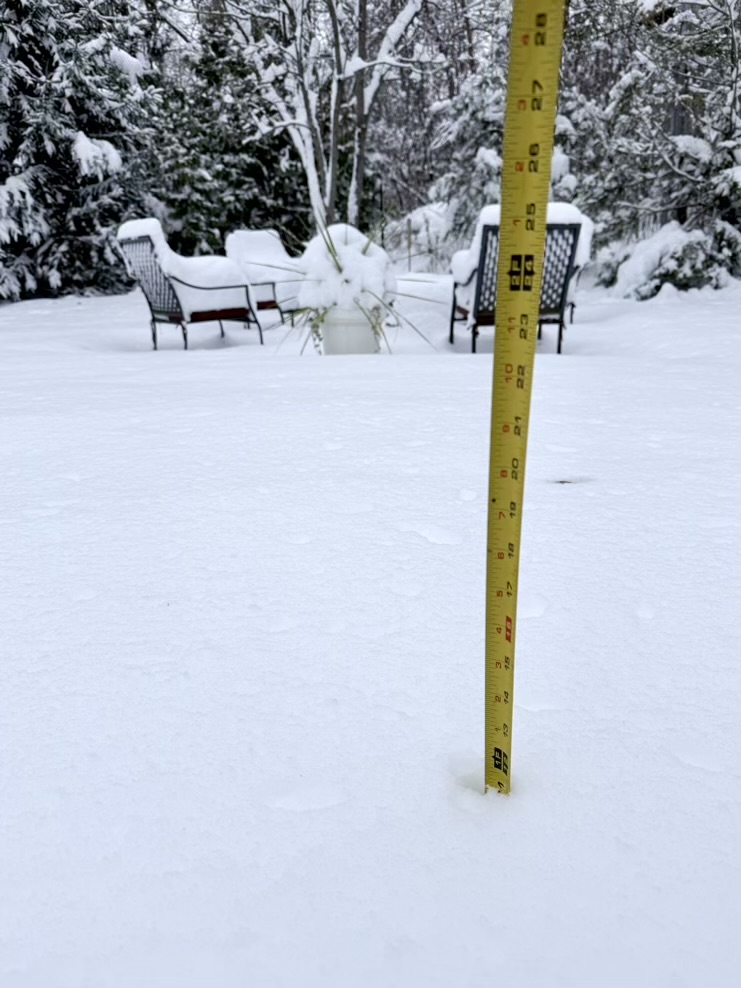
Ended up with a bit over 4” and busted out the snowblower. It’s a beautiful snow - the fluff that fell last night is pure powder and made it super easy to clear. I love a cold snowstorm with temps well below freezing and can’t stand the wet stuff.
-
Little weenie band moving in, will probably end up a bit over 3”. At least it’s something and maybe the weekend can add a few more