shaggy
-
Posts
7,696 -
Joined
-
Last visited
Content Type
Profiles
Blogs
Forums
American Weather
Media Demo
Store
Gallery
Everything posted by shaggy
-
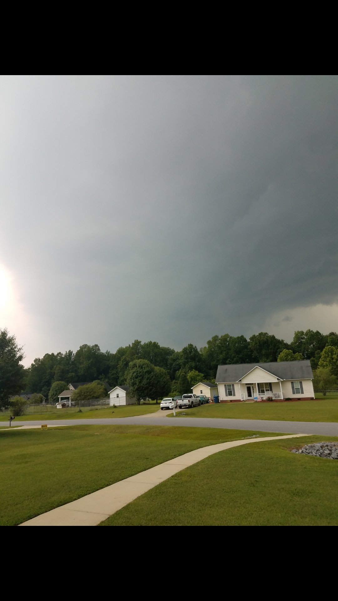
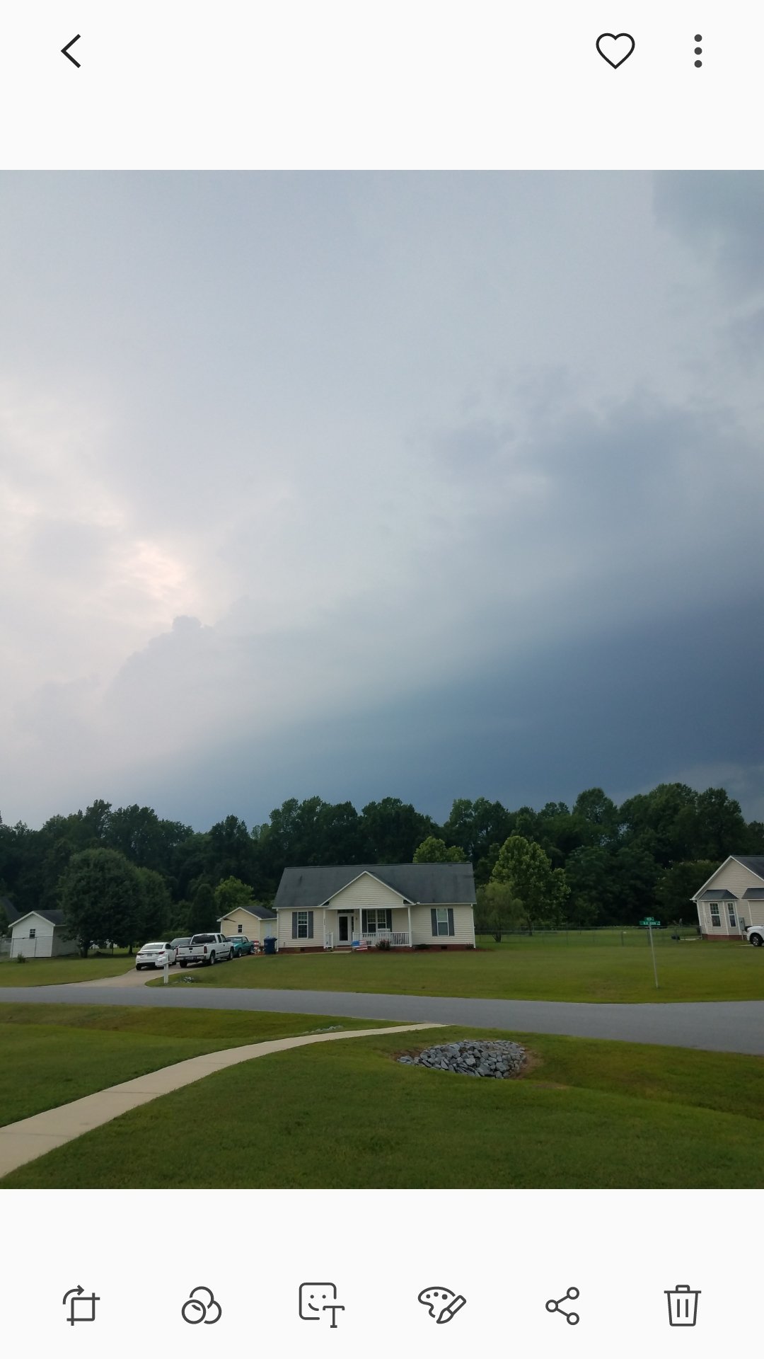
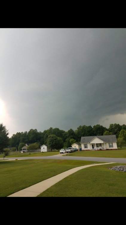
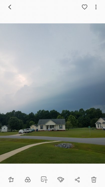
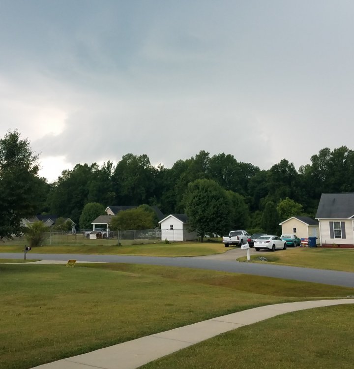
Nice gustfront was forming as it passed
-
Incoming storm with nonstop thunder. Not severe or anything.
-
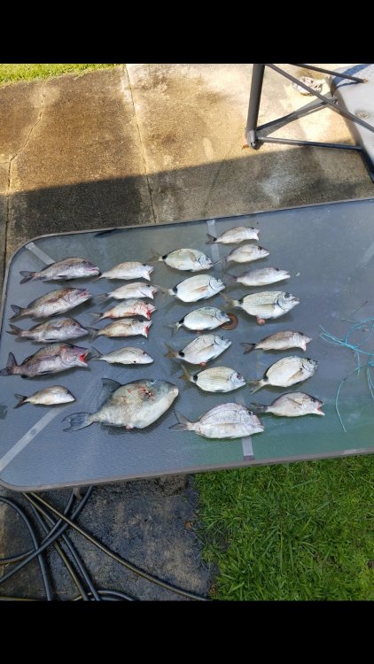
Nope grunts, ringtails, a triggerfish and a bunch of throwback black sea bass. Some guys caught some nice amberjacks and a decent cobia. There were a good number of cobia circling the boat.
-
Does anyone know an official number of tornados for NC this year? I know of the 13 in the Raleigh zone one in Tyrell county for MHX and then Stanley county so that's only 15 that I can verify. I know of a couple of other tornado warned storms in our area and a few more up around mt airy but cant find anything on confimations.
-
Dude some of these are frame worthy shots. I'd hang those on my wall!
-
So many of the storms had great structure on them. Right before my hailstorm I took a shot of a nice lowering and classic supercell look. You can see the rain and hail core just to the right of the lowering. Nowhere near as awesome as your pics but another example of the structures that day.
-
Brought home 25 fish so not too bad. No big fish but we had the boat pretty much to ourselves. Only had 22 people on the boat. Water was as calm as it could possibly have been.
-
I went through 4 big storms today. One in Raleigh at chuy's in north hills was decent other 2 had fantastic structure and the big hailer at my house.
-
Meso discussion doesnt give me much hope for the concert tonight.
-
I'm so pissed today. Typically I'd love a severe threat. Today's doesnt jive with my concert going plans for tonight in Raleigh. It's not like this is a quick drive for me so do I drive the 1.5 hours and hope for the best or drive there and sit in my car because of lightning? I could see them possibly bumping this up to enhanced on the next advisory as well.
-
These cells are small but have decent wind with them.
-
Need some calm weather and seas on June 2nd. Going on a half day trip on the carolina princess. We went out last year on the Capt stacy and did good but there were close 80 people onboard and at one point only 5 or so of us were up fishing the rest were laid out. We had 5 to 7 waves and an occasional bigger set closer to 8 to 10 feet.
-
Got a guy from garner on another forum claiming he had a cantaloupe sized hailstone from this storm. Not sure they understand that's really really a big stretch. Might as well have said he saw unicorns!
-
The ground scarring is pretty cool to see. Damaged homes not so much.
-
So does that mean they determined it was just one tornado instead of two. I heard Wendell and zebulon? Also confirmed one for Stanley county from the may 11th storms.
-
Sounds like there are going to be 2 confirmed tornados. One in Wendell and one in zebulon. Video of the tornado in Tyrell county is awaiting confirmation and a potential tornado in greene county northwest of snow hill.
-
Will be worth watching wral at 5pm I bet they're going to have some epic hail footage.
-
Some monster hail being shown back near garner.
-
Looks solid on radar as well
-
Slight risk up for Sunday so I guess we will see how much instability we can get going.
-
Luckily it looks as if cloud tops are warming as it begins to interact with land on the NW side of the core. Still gonna be a big hit for them.
-
This one escalated quickly. Just upped the winds to 135kts and has landfall sooner. Not sure of the population where its headed but it could be really bad.
-
TC Fani is looking to threaten India as a strong hurricane in a few days. Projected landfall of 110kts as of the latest advisory.
-
Tornados count relationship to hurricanes in NC
shaggy replied to downeastnc's topic in Southeastern States
So figured I would revisit this thread since it's been active so far this spring. Last year was the exception to our research. I only saw 6 confirmed tornados for last year and we had florence. Florence was an anomaly all of her ow though. -
As it turns out cyclone Kenneth went through a period of RI and made landfall as 140mph storm. Strongest in Mozambique history.