Chinook
-
Posts
11,160 -
Joined
-
Last visited
Content Type
Profiles
Blogs
Forums
American Weather
Media Demo
Store
Gallery
Everything posted by Chinook
-
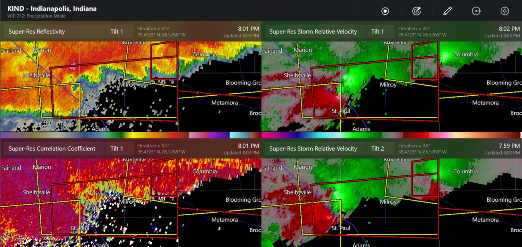
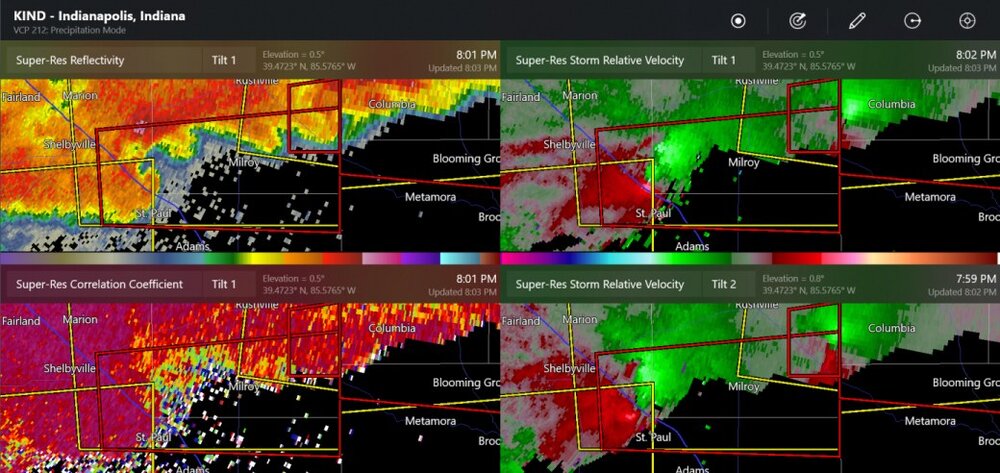
tornado near Shelbyville IN
-
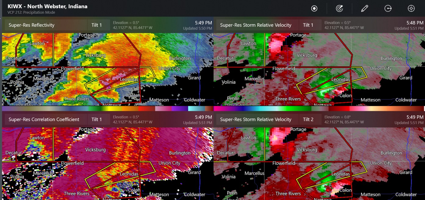
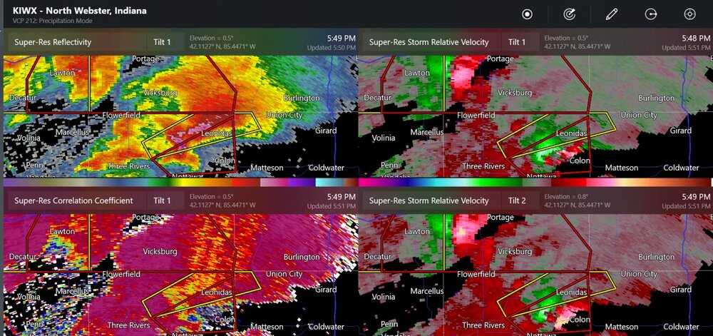
double tornado warnings (confirmed tornado by Mendon Michigan)
-
new tornado warning at Terre Haute
-
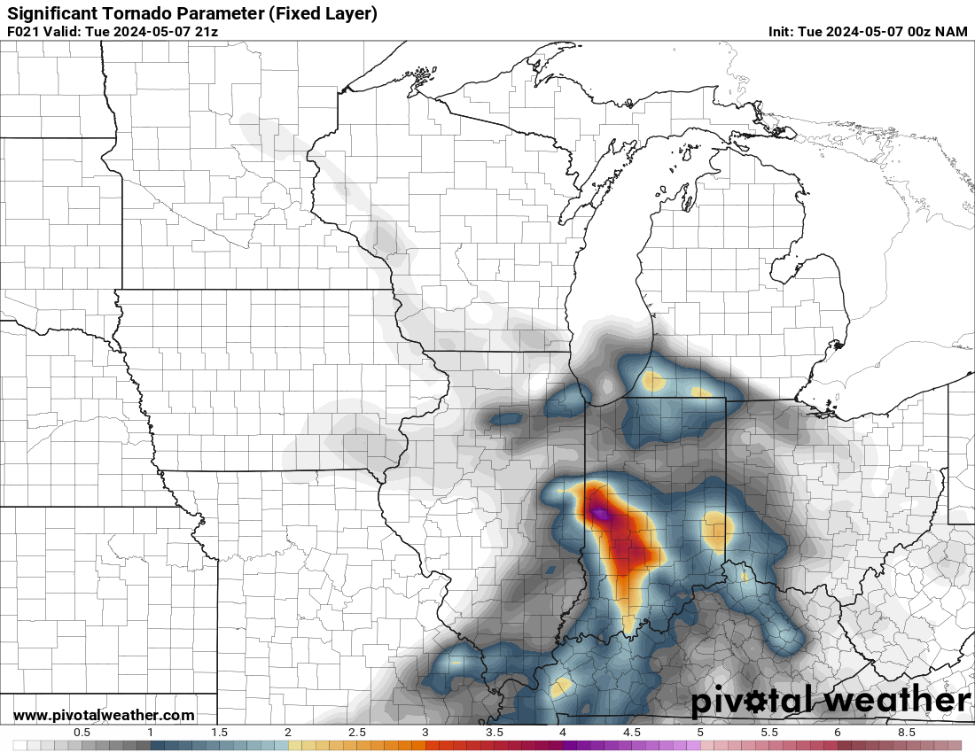
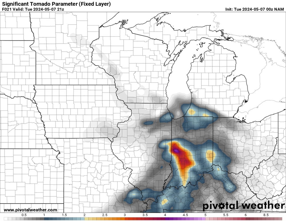
Tomorrow looks like there might be some small tornadic supercells for OH/IN, like near me
-
even KTLX and KICT radars can see the TDS, lowered correlation coefficient, on the Hominy tornado.
-
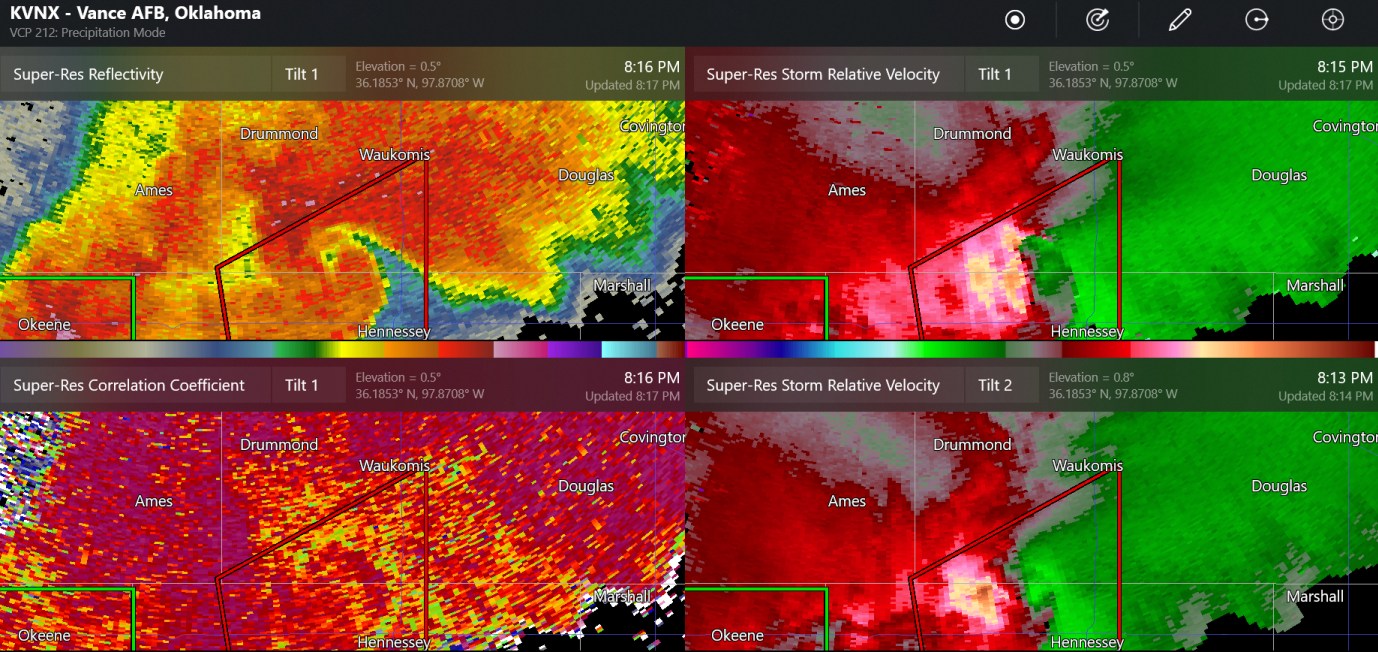
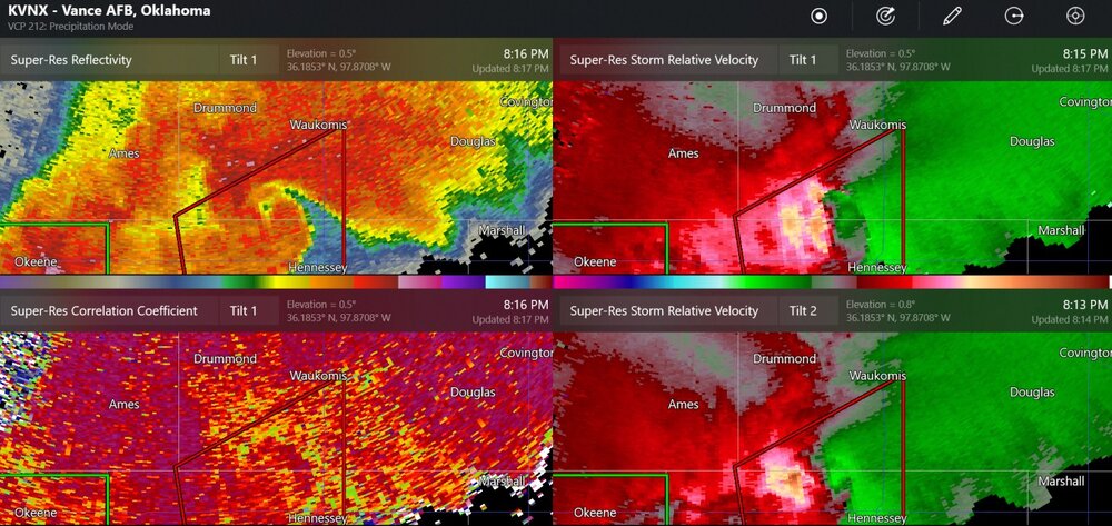
This is a possible rain-wrapped tornado near Hennessy Oklahoma. The wind damage report from Lacey says there could have been tornado damage.
-
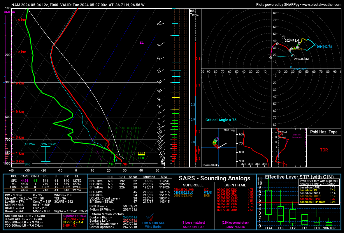
I am seeing forecast soundings of STP (effective) of 14.7 to 15.7 on the most recent HRRR valid for 03z (same as shown). I think that's maybe about 1 or 2 more than I've ever seen on a model sounding.
-
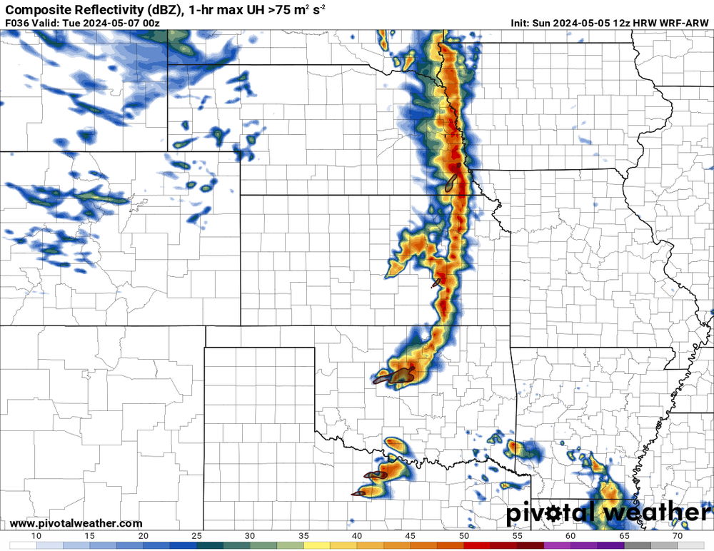
oh you mean linear like this? I guess this raises the chances for severe winds
-
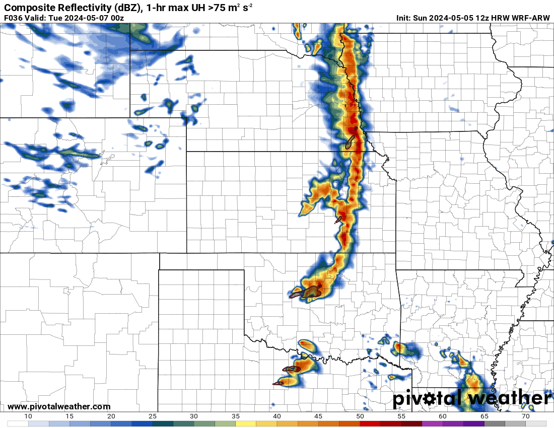
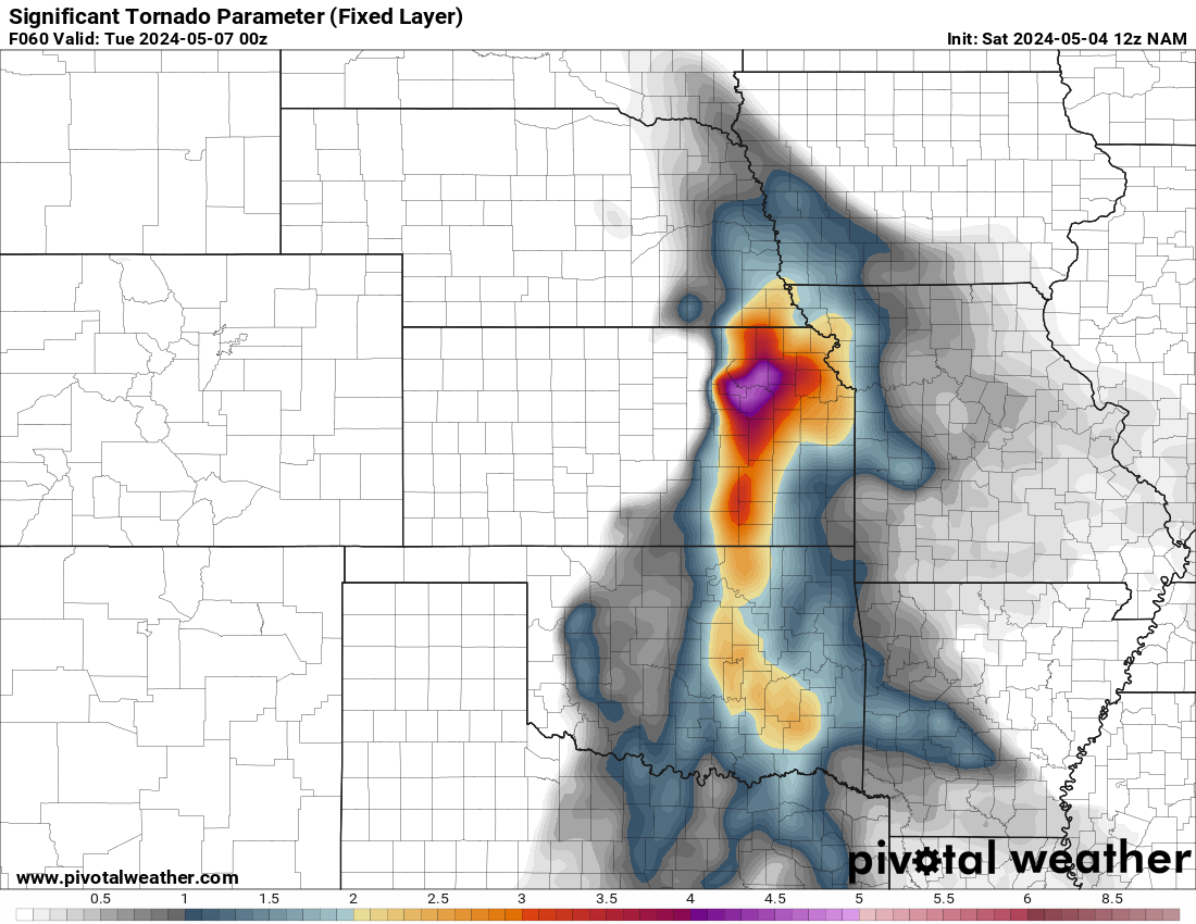
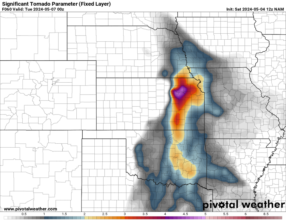
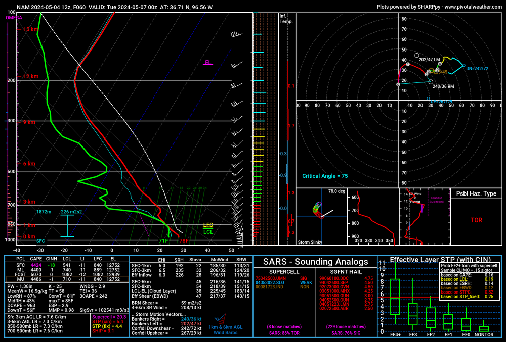
I think parameters will be very high for tornadoes on Monday night. The models show a small cap in place. Lifting condensation levels should be quite low in Oklahoma with higher dew points. As usual, the ramp-up in lower level winds will occur at night to possibly increase chances of tornadoes.
-
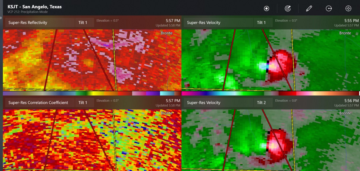
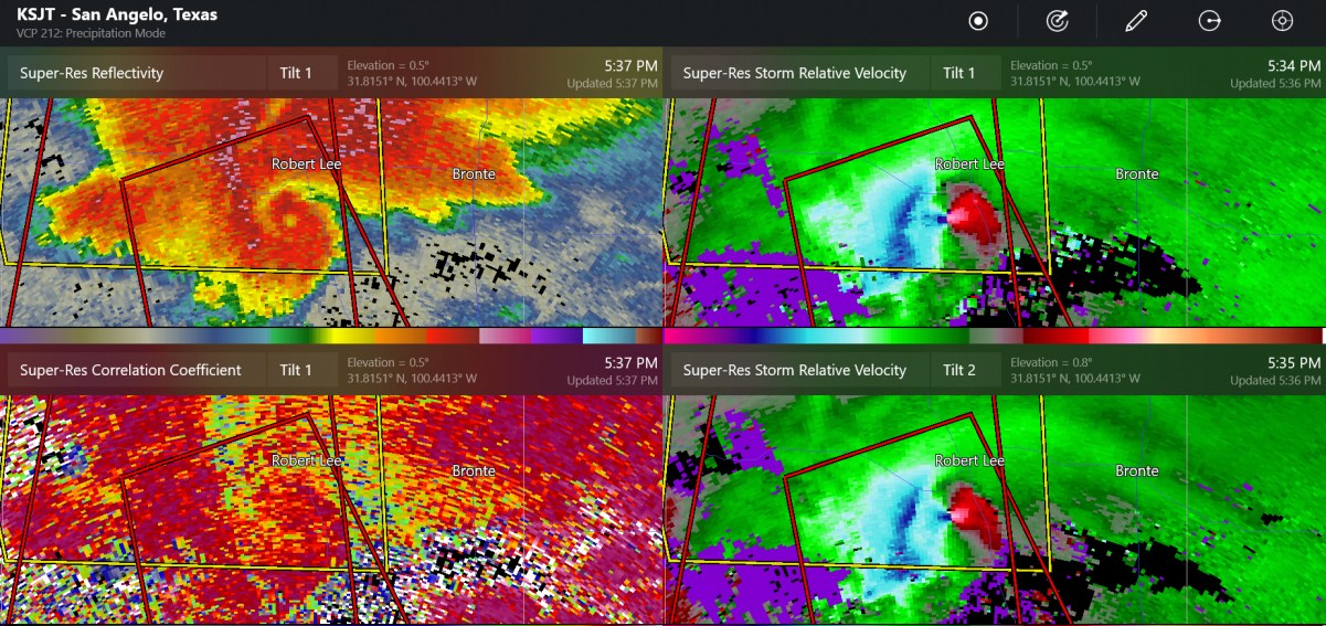
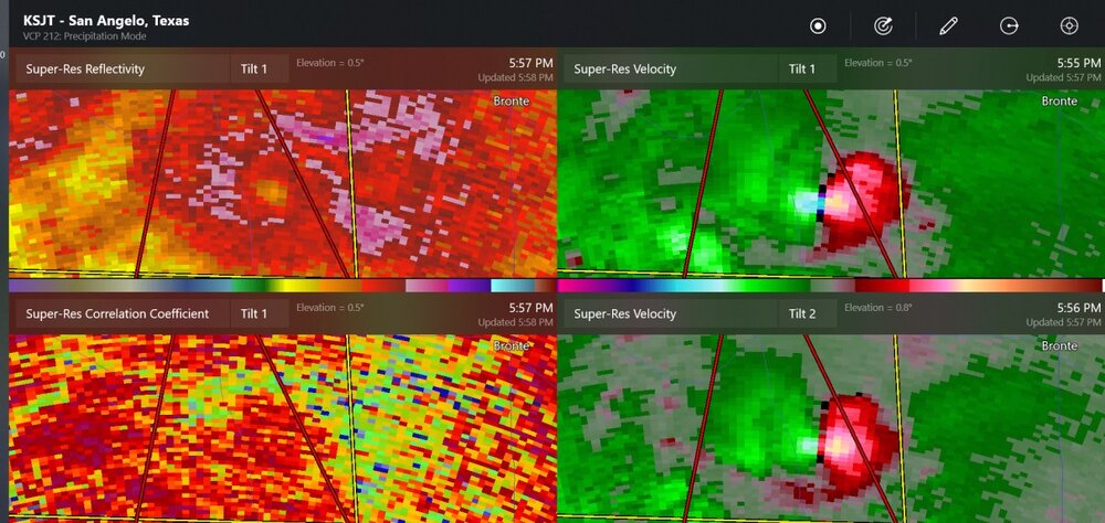
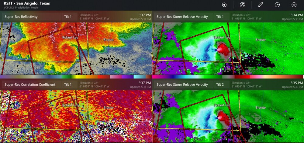
large tornado south of Robert Lee Texas a little while ago
-
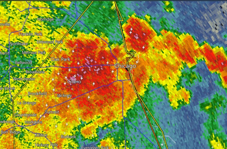
lightning and heavy rain coming in to downtown
-
welcome to May in the Plains
-
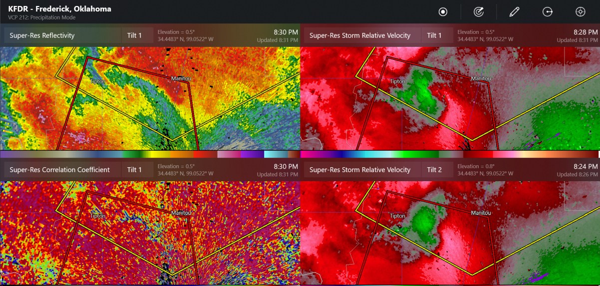
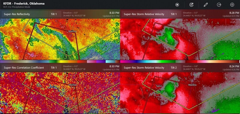
confirmed tornado warning at Frederick Radar
-
possible tornado at Perry
-
up to 3" hail in SW Oklahoma
-
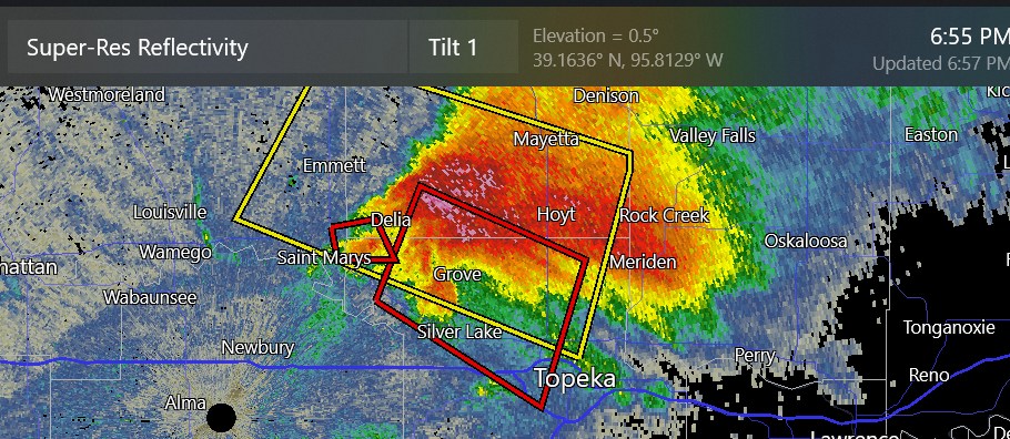
new tornado warning next to Topeka
-
maybe Kansas is going to be our hot spot tonight
-
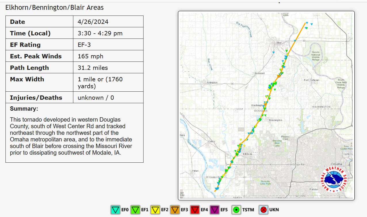
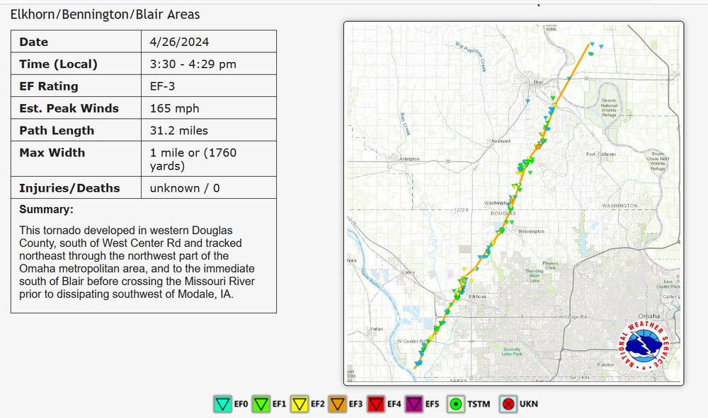
Only EF -3 for one of the largest ones near Omaha
-

Mountain West Discussion- cool season '23-24
Chinook replied to mayjawintastawm's topic in Central/Western States
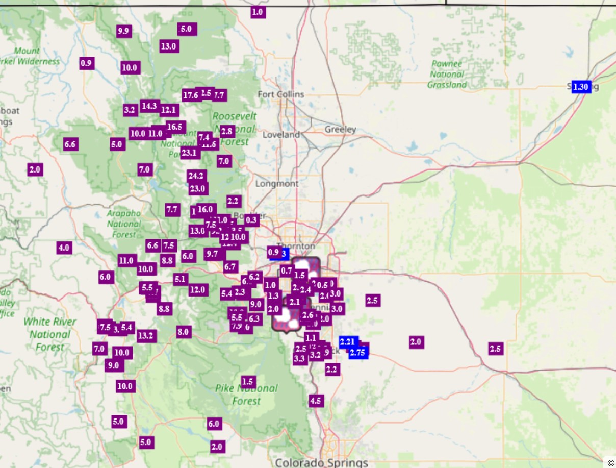
heavy snow amounts of 10" to 24" at the National Park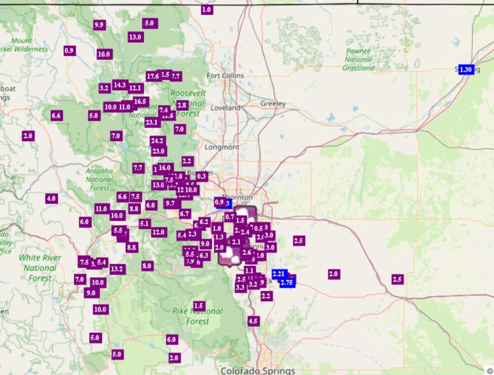
-
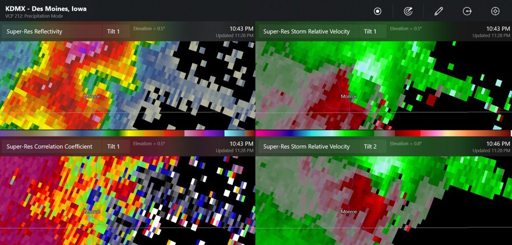
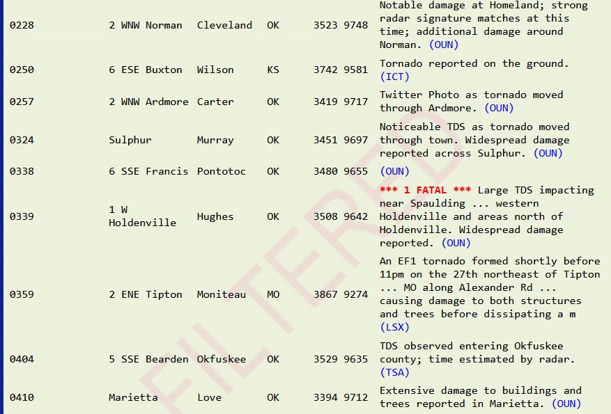
Yesterday was pretty notable for the late-night redevelopment of tornadoes this is only a partial list of the later night tornadoes
-
possible tornado in Wisconsin
-
the storm by Hobart Oklahoma looks like it could get going and stay isolated
-
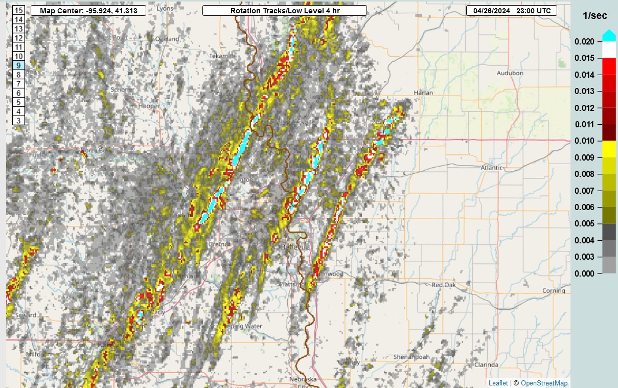
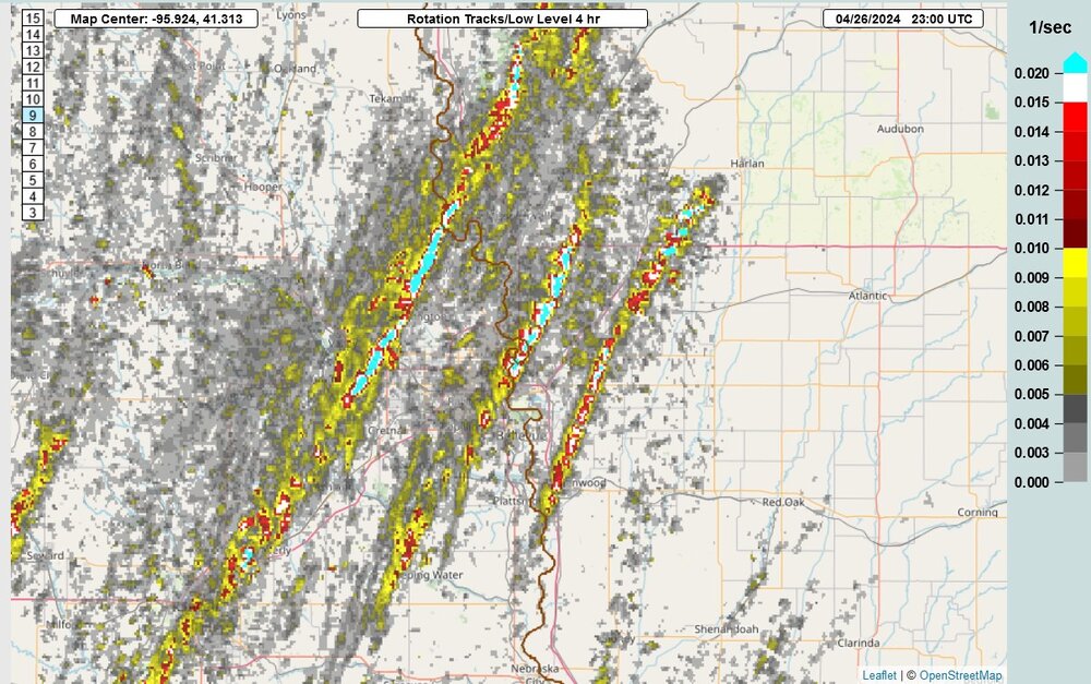
Low level rotation tracks in a 4 hour window yesterday
-
we've already got tornado warnings in W Oklahoma
-
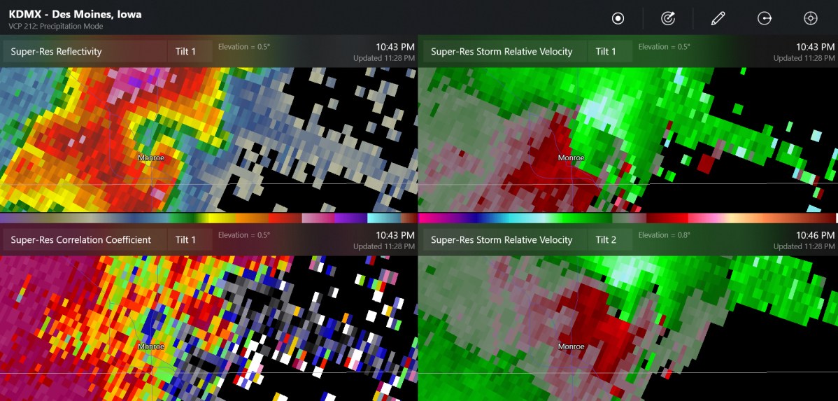
one of the latest tornadoes tonight