das
-
Posts
2,299 -
Joined
-
Last visited
Content Type
Profiles
Blogs
Forums
American Weather
Media Demo
Store
Gallery
Everything posted by das
-
This is the right question. Last year was prototyping. This year is massive telemetry gathering. Next year is tuning in response to those telemetrics. The one caveat is that observability is nascent so the value of the telemetry gathering is low but sharply increasing. So, the quality of that observability will (is) increasing exponentially, ferreting out bias, low value feedback and creating a positive feedback loop of increasing telemetry quality / observability of high-value output / input (retraining) back into the LLM’s and SLM’s.
-
It’s awful. Good people doing important work pilloried due to nonsense.
-
Good post. To put a fine point on the synoptic/orographic nature of this year, I am at 14.6" snowfall total here in Charlotte at 285'. With 4" OTG and a SWE of 0.6"
-
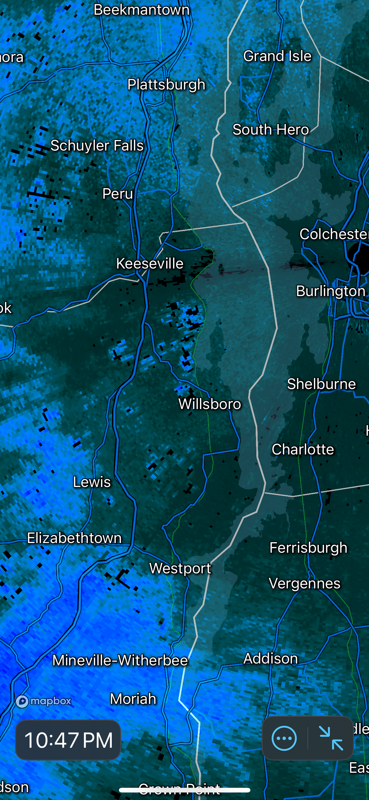
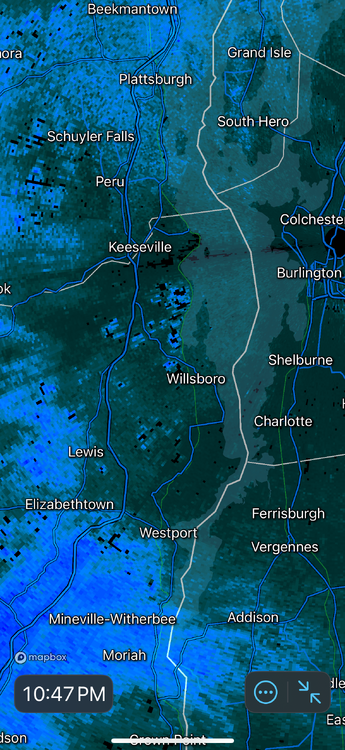
Light WAA snow has commenced in the Champlain Valley. Looks like the LLJ is here too with strong southerly channeled winds of S24G36. 22.7°F / 12°F. Incoming returns look a little stronger than I expected so maybe we’ll squeeze out 0.5” of windy snow before the clipper arrives around 7am.
-
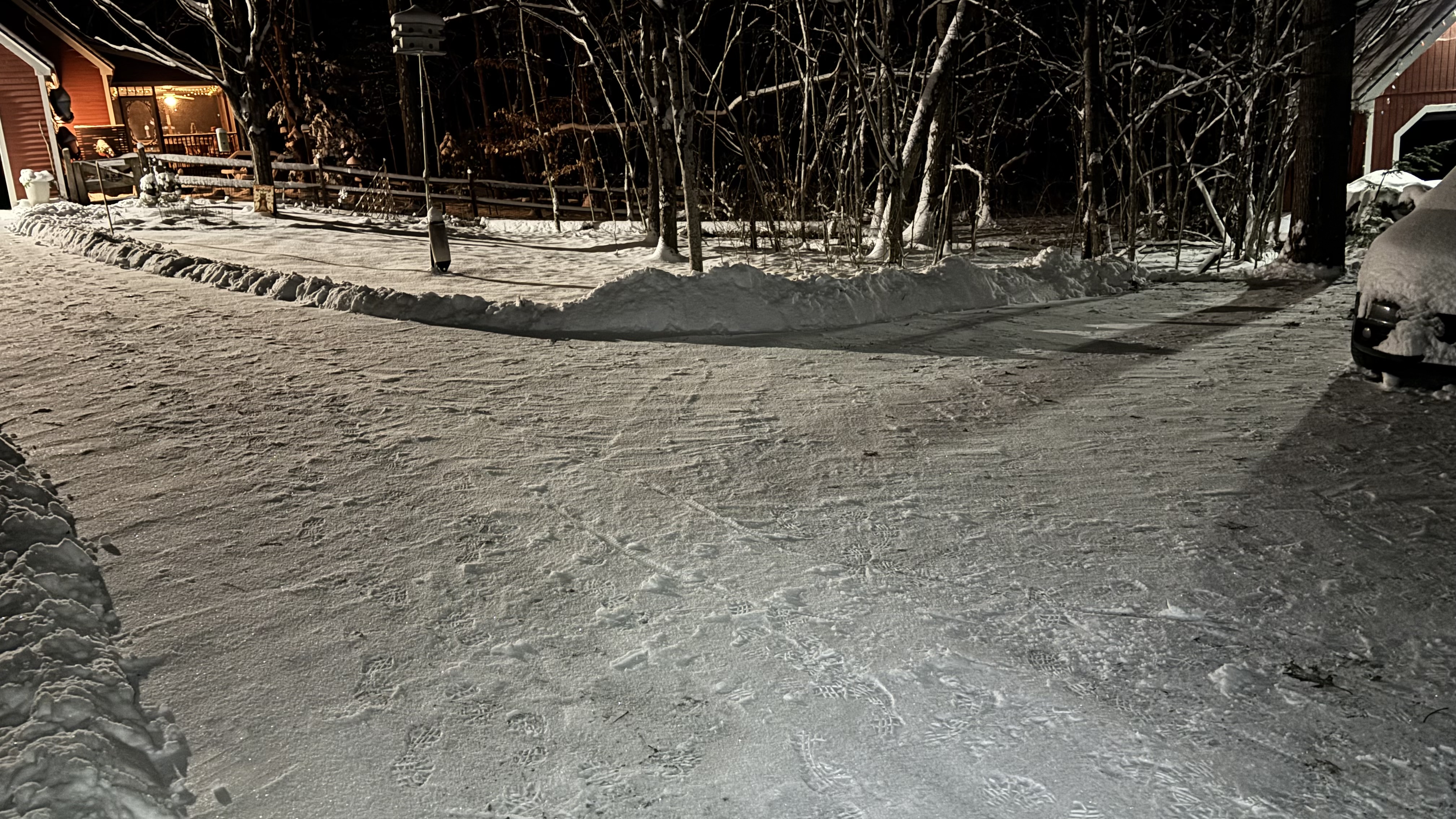
0.5” of gusty fluff last night in Charlotte as the front roared through. Had a 32mph gust at 1:30am in my (very) sheltered location. I could hear it roaring in the tops of the trees for over two hours. 88baa28d5917b938d29c681e463ccde3.mp4

-
Easy 3” in that 0.2” liquid at 10°F unless the winds break up the flakes too much. These high ratio events are fun.
-
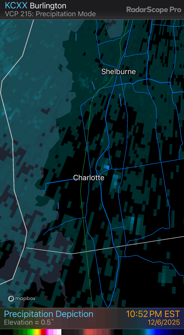
Snow started at 5:30am and finished at 9pm. 4.2” was the total here in Charlotte. Temp was 21°F when it started, topped out at 27°F and now it’s back down to 22°F. It was basically a windless storm up here until well after the precipitation stopped. Now it is N12G19
-
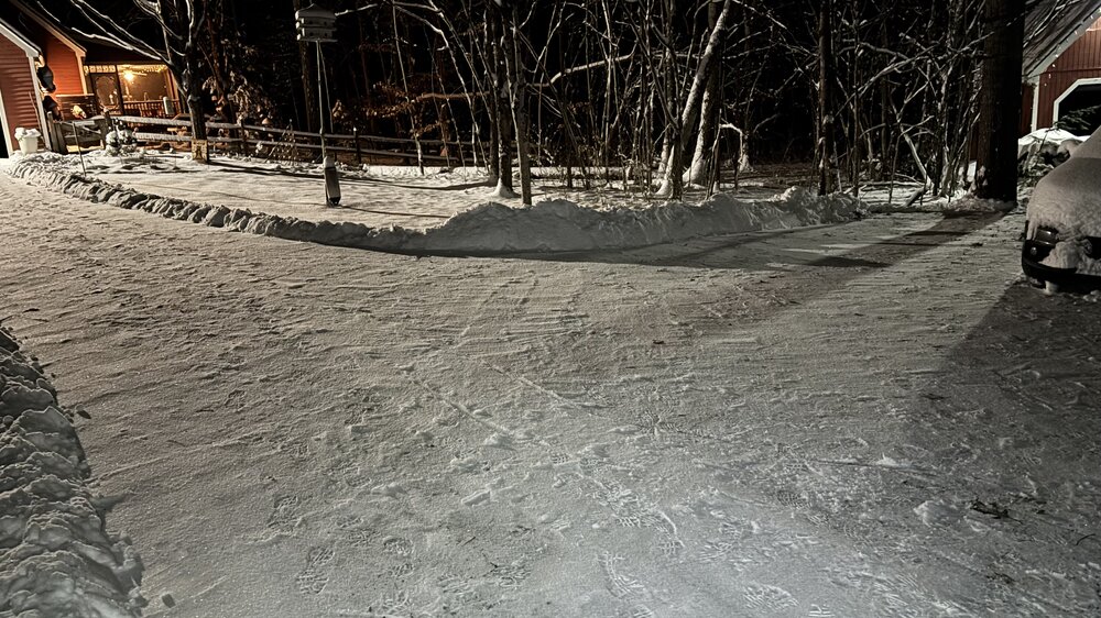
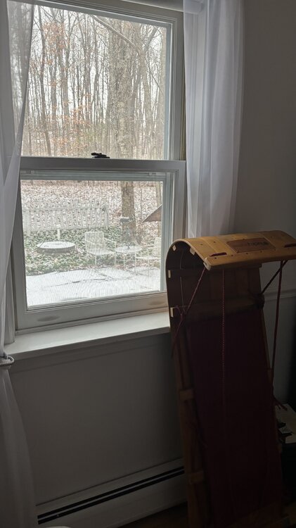
Crossed the 2" mark here in Charlotte 10 minutes ago. 25ºF. Edit to add, seeing that pic reminded me to sync the time on that camera. D'oh!

-
First Winter Storm to kickoff 2025-26 Winter season
das replied to Baroclinic Zone's topic in New England
Just crossed the 2" mark here in Charlotte. 25ºF. Oops, wrong thread. -
First Winter Storm to kickoff 2025-26 Winter season
das replied to Baroclinic Zone's topic in New England
That was my experience as well. But, now that I've moved to NW VT, flash freezes seem to be a real thing again. Maybe its the strong low level surge created by channeling as winds shift to the NW post fropa, especially on backdoors. -
0.2” here in the valley today. It snowed on an off all day at 35°F until it flipped to drizzle and RN/SN mix for the last two hours leading up to cold front #1 at 9pm. Pretty day.
-
First Winter Storm to kickoff 2025-26 Winter season
das replied to Baroclinic Zone's topic in New England
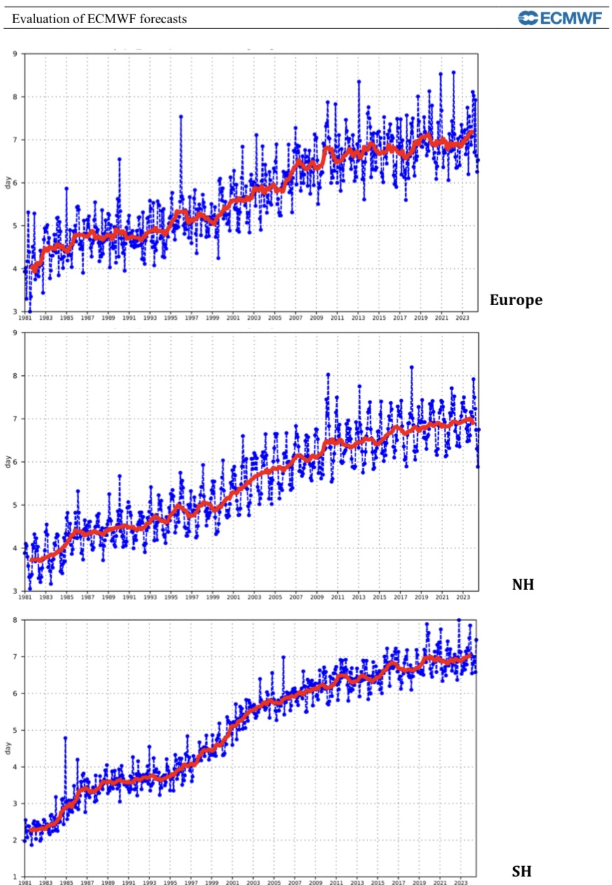
Sorry, the data just does not bear this out. The steady progression of model fidelity and accuracy continues and will actually start another upward spike as AI-based models are integrated with physics-based models.
-
November 2025 general discussions and probable topic derailings ...
das replied to Typhoon Tip's topic in New England
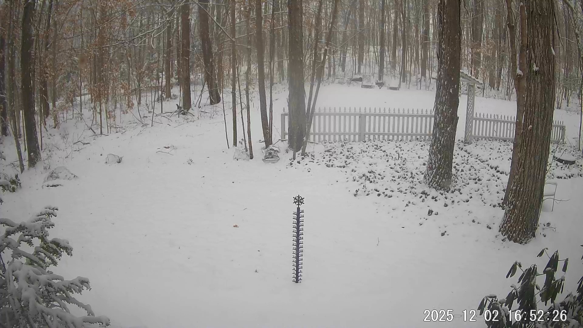
Steady snow here in Charlotte, just south of Burlington. There’s about a half an inch on the ground. Temp was 35°F at onset with a dewpoint of 23°F. We have bottomed out at 31° here in the snow as the column saturated. -
November 2025 general discussions and probable topic derailings ...
das replied to Typhoon Tip's topic in New England
The lowest low here in Charlotte has been 21.2°F. If we hit 50°F on Wednesday (increasingly unlikely), it’ll be the first >50’s since the 8th. Days and days of 30’s and 40’s for highs. Chilly but not cold. -
Great post @donsutherland1. I, for one, am looking forward to shoveling inches and inches of pattern. Back to lurking for me...
-
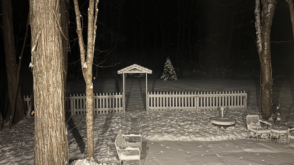
Greetings from the Champlain Valley (well, I’m in DC for work this week). 3.2” at the house in Charlotte this evening with multiple reports of 5+” Burlington and north. Nice to get the first measurable on the books.


-
0.7” on the day here in the Champlain Valley with snow showers on and off all day. Nice midwinter day…
-
Dews and temps are down 2° to 28.1°F / 25°F on NW13G25 here in Charlotte. Light snow continues. Total so far is 6.3”.
-
I came home from 70°F Morocco on Wednesday to this: …and find snow piles still in the yard. And now this today. Not unhappy.
-
Looks like we are in the very narrow jackpot zone here in Charlotte. Just passed 6.1” at 9am. 10 miles to the north they have about 3 inches and I have heard that 20 miles to the south was wet snow and rain with very little accumulation. Winds have been light and from the north the entire event. The forcing/boundary has just started to sag south and winds are getting gusty and response. That will bring in some dry air for sure. 30.1°F / 27°F
-
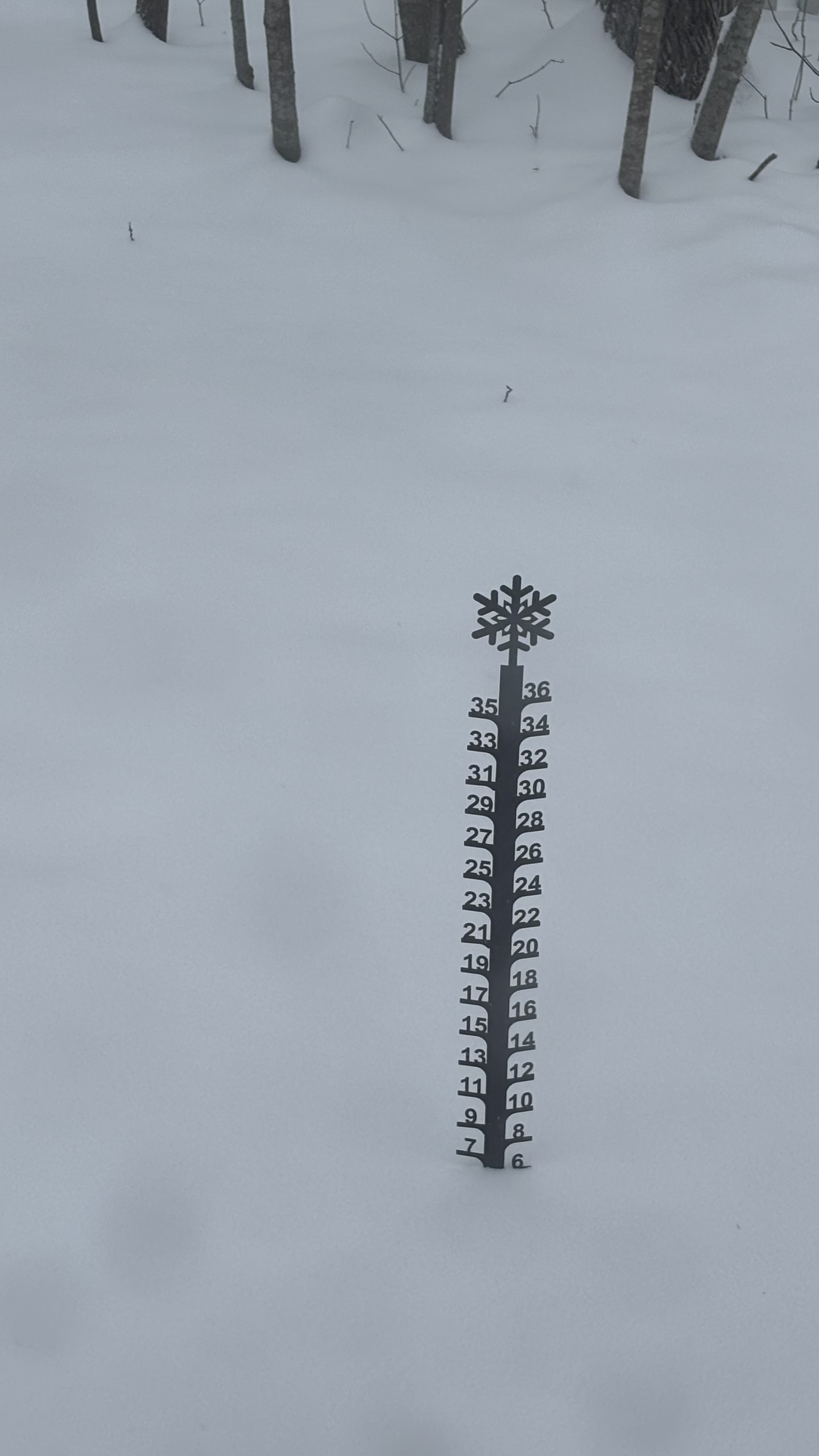
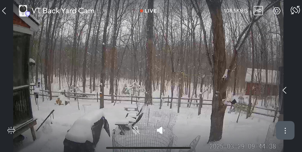
12.7” was the total here in the Champlain Valley. We had two hours of IP from noon to 2pm then flipped back to SN as soon as the 850’s crashed. I can hear the wind up in the treetops here in my sheltered location. Just under 22” OTG.
-
Eat a lot of chili and drink a bunch of cheap beer.
-
Crawling. Nice.
-
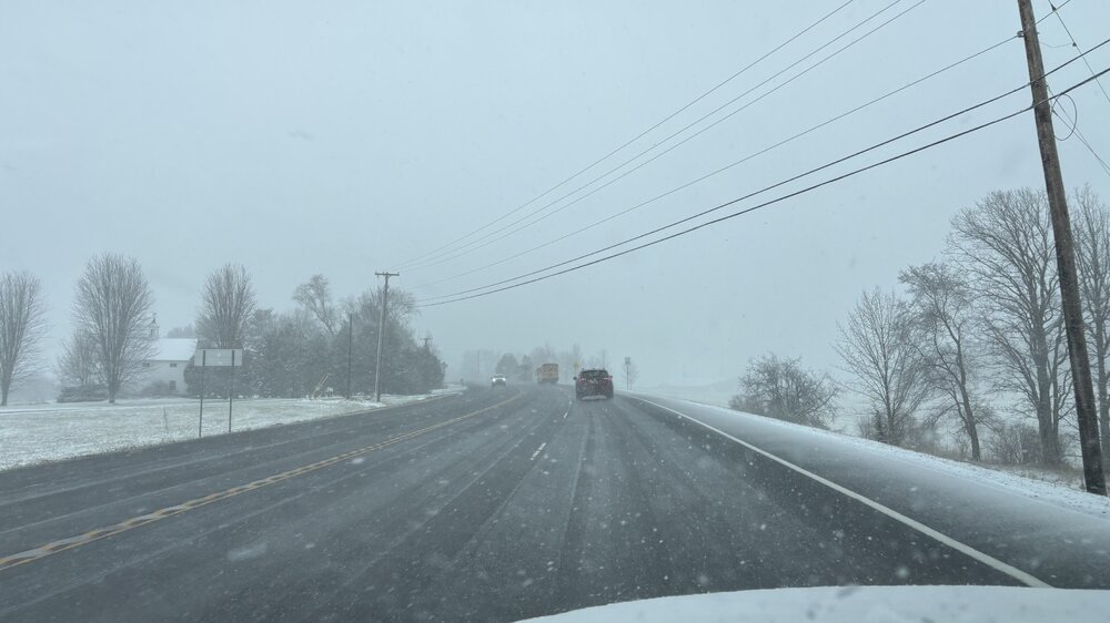
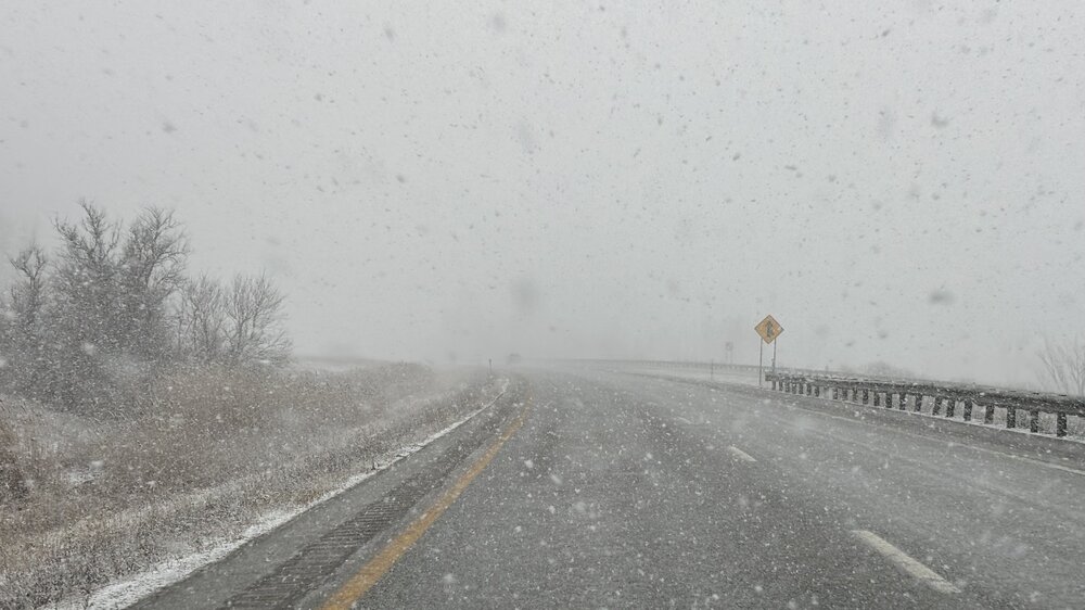
Experimental - Leave feedback Click here for more information on these products What's this? Location Low-End Amount Expected Amount High-End Amount Chance of Seeing More Than 0.1" 1" 2" 4" 6" 8" 12" 18" Brattleboro, VT 3" 8" 12" 98% 97% 95% 87% 72% 51% 12% 0% I'd guess late morning transition to IP as the warm nose moves in between 925 and 850mb. The warm nose will drop a bit flipping us to ZR before we flip back to SN as the cold comes crashing back in. Latest trend has IP lasting quite a few hours so your 1" estimate is not bad. ZR will be maybe 0.05 to 0.10". 2m temps should stay below freezing the whole time.
-
Fiddlehead, eh? My recent favorite. The brewery is 3 miles from my house here in VT. I know where I am stopping on the way home tonight!