jbenedet
-
Posts
7,815 -
Joined
-
Last visited
Content Type
Profiles
Blogs
Forums
American Weather
Media Demo
Store
Gallery
Everything posted by jbenedet
-
And tomorrow is the "warm" day
-
It already is. Get outside.
-
Sun breaking out in DAW and PSM. We make a run for 55.
-
What a beaut. Tomorrow we do it all over again.
-
Cool. Wonder why he's not in the OT or banter thread? Also let the guy speak for himself. He need a hand with that too? Guy has a wolf for his profile pic. Real badazz. That's good; bc he doesn't have any. The reason I point this out is because he doesn't demonstrate any forecasting ability here. Literally just criticizes. IDGAF about a degree if you can demonstrate your skills.
-
You don't even know what meteorology is, so you could not criticize with merit. And you can't forecast. Frankly, I don't know what it is you do here other than try and stir the pot, with ZERO credibility or accomplishments behind you.
-
Snow storm chance is highest next week than it's been since mid January. I'll leave it there. I don't think it indicates a pattern change; it is more likely a result of a cold/stormy phase of a cycle (MJO) within persistence. But my uncertainty is high, and therefore confidence is low on the matter of pattern change. There you go wolfie.
-
You do not excel at reading comprehension. Uncertainty and forecasting ain't your jam. It's obvious.
-
I think we can confuse noise for a signal with MJO phase 8 right here. MJO is loud noise. We need to see through it. That's all I'm saying. I don't think we can right now. We will know a lot more in a week.
-
MJO behaving exactly as it should in terms of sensible weather. Too early to declare pattern is changing, instead what I'm seeing is MJO phase 8 showing up in the global guidance with coast to coast cold in Southern Canada, despite the crappy pacific. So there is a window again for a snowstorm if it is well timed. Reminds me a lot of the mid-January period in terms of opportunity and type of storm threats. Since the MJO phase 8 is transient, my base case is a return to ++AN after next week; but it's largely wait and see.
-
The sweet spot will be BED LWM to PSM. I think you go +5 on those numbers at these locations and the rain is held off until after sunset.
-
I do in January and early Feb. Do a search for “confluence” over the past month. 6 pages worth of content. How much snowfall does SNE have? We have seen it show up plenty; problem is it has been retreating as shortwaves amplify.
-
You need the 50/50 to anchor, otherwise it's very similar to the seasonal tenor. It looks potent, but does it slide east as the wave propagates over the plains and amplifies? Find out when this -NAO starts. That is all.
-
Last time we had a -NAO was Dec 20th. Not saying it can't happen but that's clearly a break in persistence. My guess is delayed but not denied. Hedge accordingly on that front, until March
-
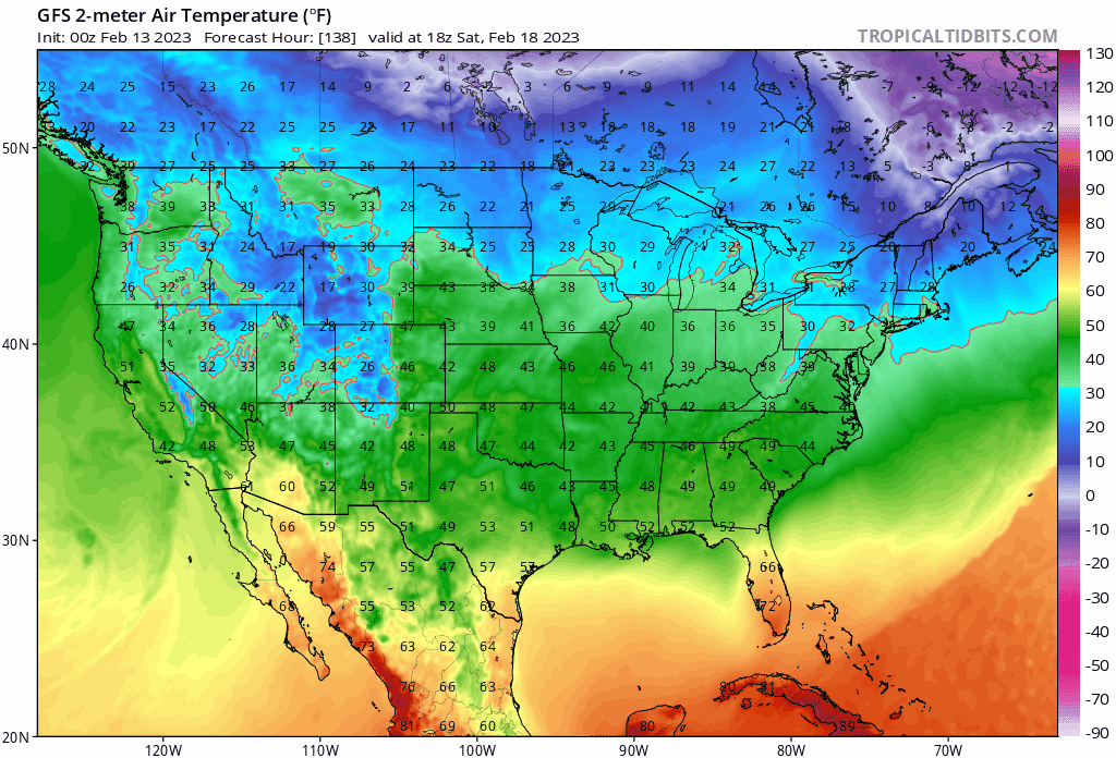
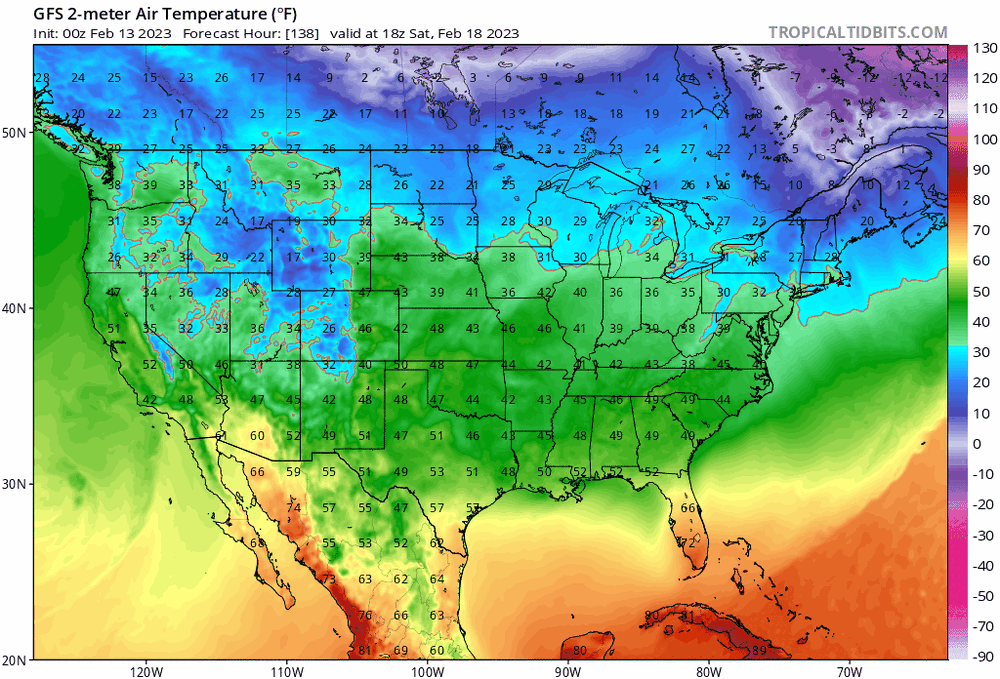
DAW 47/24. "Behind the cold front"
-
Less of a warm sector means less of a cold sector on the back-side. Take em' down (from big record highs) Thurs/Friday, means take em up Saturday and Sunday.
-
-
That's valid. But I think this "Cold Front" is BS; aka a misnomer. The airmass behind it doesn't even take us to normal Friday night/Sat am. The cold stays bottled up in Northern Maine and SE Canada, and escapes east. Full sun, west winds, and relatively warm aloft take care of the rest.
-
Okay for all locations in New England. We'll go with that.
-
lol the SE ridge.
-
Okay so what's your call?
-
So 33 for a high at DAW? lol. Any idea what kind of airmasses it took for DAW to peak at </=33 this season?!
-
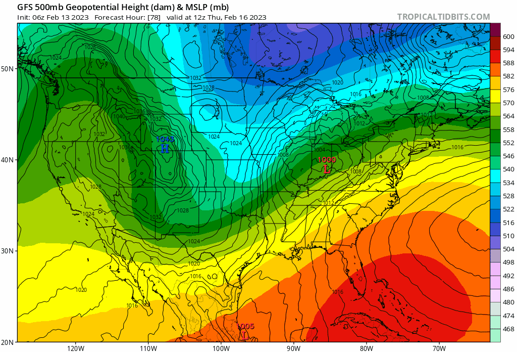
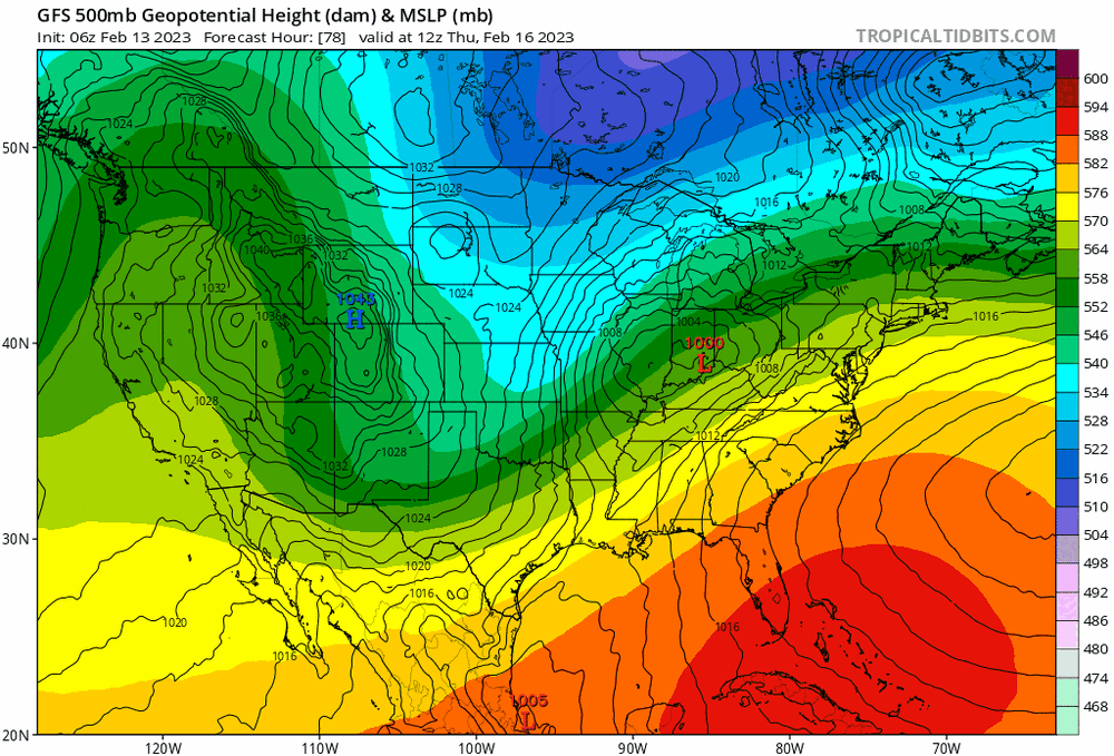
Next week I see the troughing out west actually becomes more severe. There's a -NAO being advertised beyond 240 though. I think the -NAO needs to come into focus before optimism renews on big snows. Still looks outside 10 days.
-
MOS at hr 120. I'll take the 6z GEFS and the tenor of the season; with warm SST's, soil temps and pack beat back to the chicken coop. Thanks.
-
Nope not in Northfield. You're right.