jbenedet
-
Posts
7,815 -
Joined
-
Last visited
Content Type
Profiles
Blogs
Forums
American Weather
Media Demo
Store
Gallery
Everything posted by jbenedet
-
Yea speed it up a bit and 50 potential is high in SNE. I don't expect guidance to ever see this though. It'll raise to mid 40's probably, near go time. The Friday CP airmass will be out in less than 24 hrs. West winds. Sun. SE ridge flex.
-
Take em up this weekend. More 50's and sun for SNE into SE NNE. Beautiful.
-
Yea it’s been unusual in that we have been lowering Friday temps, holding Thurs. but significantly raising Wednesday, as we move in. Wednesday nicer day than Friday.
-
I agree. I was wrong on that. Destructive interference FTL. It’s not all bad for the warm weenies though. Seems to me the trade-off has been less intense warmth for longer duration. This looks like 3 days of 55+ at PSM. The Wednesday wave warms us up but flattens out the subsequent wave and in turn, its warm sector is impinged. Still think 65 is a doable for a chunk of SNE including PSM, but the 70 number is off the table.
-
45/24 DAW. Another +10 Really nice in the sun. We take.
-
DAW 43/24. Hat and sweatshirt day in the sunny spots. Not bad.
-
The latest MJO guidance looks warmer as well. I'm seeing GEFS never making to phase 8. Both the bias corrected GEFS and ECMWF now end in phase 7. Could of course change but hedge accordingly.
-
Good to see it coming around. Last Friday’s setup got us low 60’s throughout SNE. And that was not nearly as good as this warm-up; especially timing wise. This window has a lot more “warm” tailwinds. We will be a lot warmer heading into it, in-situ airmass, and ground temps, better surface low track with warm sector pushing into southern Canada. I think 65 even at PSM is a conservative low bar.
-
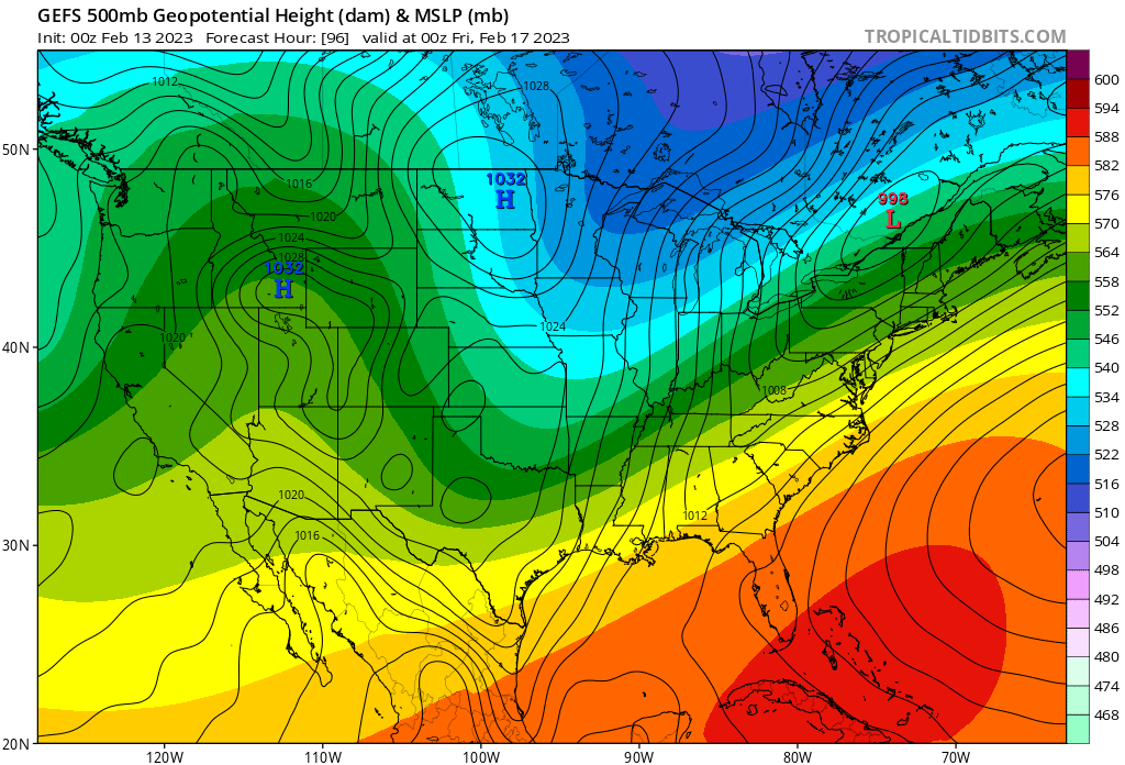
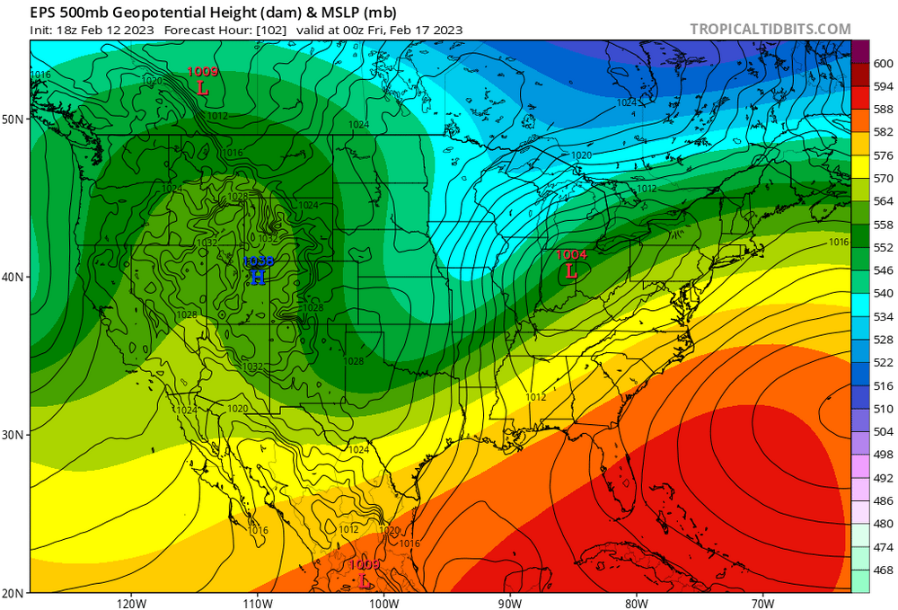
Yea def 70’s on the table. The low end looks like low 60’s, so either way very warm. There’s pretty big differences between 0z GEFS and 18z EPS still. GEFS much warmer than EPS. The 18z EPS basically looks like this past Friday, while the 0z GEFS cuts into Ontario. The EPS look would bring with it those modeled clouds we’ve been talking about. MJO and teles all fit best with GEFS at that time frame so that’s my bet right now. And the lack of snow pack as well as warmth heading into it, adds positive tailwind to temps. Going big with 70’s Thurs.

-
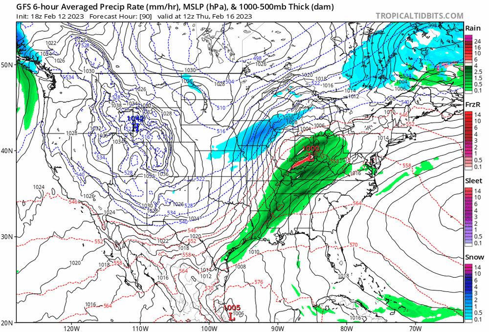
That’s not your CF and well defined warm sector with 100% clouds in 1/3 of the CONUS. That’s all I’m saying. Doesn’t fit the bill; not at all. The rain on Thursday is a facade. That’s mesolow climo flexin’. Illusory. The real rain is on Friday. This is wonky. Sell the modeled qpf in New England on Thurs.
-
We’ll have to watch this aspect, but modeling of clouds 96 hrs out is like clown maps at 240. General guidance doesn’t have a socked in look at all. I don’t buy it. The cloud output looks like a wave that runs over PSM. Run of the mill, a lot of what we have seen recently. Completely different than a warm sector that lifts into Canada, which is being advertised at h5.
-
Records gonna get slayed Thursday. What a furnace incoming.
-
47/19 DAW. No wind. Mostly to partly sunny. Another great day.
-
Negative departures built over years, but according to @Ginx snewxthe northeast’s AN and lack of snow should have mean reverted bc of snowless days and weeks in January(oops), in February (woops!)…and now in March bc…well…just bc… As if the earth’s physical systems GAF about man-made time and the calendar.
-
Strange. That’s what I call you.
-
The proverbial “mean reversion” is a case of careful what you wish for. BN and dry more likely than BN and snowy on that merit. Western half (sans the coast) of US hasn’t seen much of anything.

-
Garlic sprouting already. Just noticed it but looks to have started about a week ago. It’s my first time growing garlic; so unsure how unusual this is, but I was expecting to see this level of growth about a month later.
-
Light til 5:15 p.m. The warmth isn’t all bad at this point. You can get shit done before or after a normal work day now, so long as you have the temperature on your side. And the kids can get outside after school.
-
Make the best of your weather it’s the only weather you got. I’m looking for another 50+ day. Let’s see if we can hold off the clouds; whoever does will score a great day. Otherwise mild but meh. Over/under line looks like PSM latitude.
-
Some knew.
-
I’m most concerned by this look as it means more pack building in Northern ME, QC and NB, which I think is a harbinger of a significant -NAO developing in March. This in turn keeps storm tracks Mid Atlantic—>south. If you’re looking for mean reversion - N to BN and dry would be it. And that’s also multi year persistence. I hope this is dead wrong.
-
Yea I was wrong about Atlanta. Thanks for remembering. Right about this crap staying south of northeast though. You have been wrong the whole season though. So cheers.
-
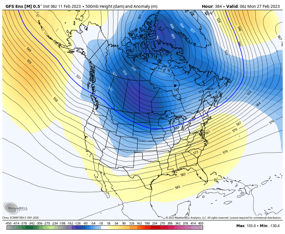
No kiddin’. It also looks like this is “as good as it gets” —next panel at hr 384 already near normal. The deepest cold is still way out west. The big troughing still out west. Storms are going to want to amplify early just east of the Rockies and bend back, producing high risk of warm sectoring, around here. This look is shit for 75%. The hope should be that it’s wrong.
-
The NAM is literally all alone, and has been for 48 hrs. Now it’s pulling NS’ leg. BS threat isn’t close on the GFS or Euro. Needed 100 miles; bc the south coast MA and RI is warm.
-
What am I missing. This looks a lot like persistence. Gradient oriented with climo over northeast. Very Workable for interior NNE. Everyone else fighting warm sectors and ptype issues.