mryanwilkes
Members-
Posts
65 -
Joined
-
Last visited
Content Type
Profiles
Blogs
Forums
American Weather
Media Demo
Store
Gallery
Everything posted by mryanwilkes
-
January 30th- Feb 1st ULL and coastal storm obs
mryanwilkes replied to JoshM's topic in Southeastern States
-
January 30th- Feb 1st ULL and coastal storm obs
mryanwilkes replied to JoshM's topic in Southeastern States
Chapin. Lake Murray, SC. It’s 9:25 and we’ve had about 5 flakes. -
The “I bring the mojo” Jan 30-Feb 1 potential winter storm
mryanwilkes replied to lilj4425's topic in Southeastern States
It’s after midnight. -
The “I bring the mojo” Jan 30-Feb 1 potential winter storm
mryanwilkes replied to lilj4425's topic in Southeastern States
What was that storm thread you started several years ago…blue turd something? Awesome to see basically 80% of this board getting an awesome snowstorm. Cheers. -
Winter weather hates the midlands of SC with a passion known only by wives of drunken men.
-
Obligatory “check, please.”
-
1/10-11 super awesome winter SE OBS thread
mryanwilkes replied to strongwxnc's topic in Southeastern States
Started as sleet/snow around 9am. Laid down a light coating. Changes over to rain an hour or so later. 32° and drizzling now. Chapin - Lake Murray, SC -
1/10-11 super awesome winter SE OBS thread
mryanwilkes replied to strongwxnc's topic in Southeastern States
24° here, way down on lake Murray, SC -
You keep saying this, but it's not correct. That storm was tropical. It became extratropical after moving inland.
-
It was a Cat 3 hurricane at LF. Was previously a Cat 5. https://web.archive.org/web/20140925140913/http://www2.sunysuffolk.edu/mandias/38hurricane/
-
EWRC does not seem to be complete from what i'm seeing. Any verification? (I think the radar loop i'm looking at is maybe 10 minutes behind...)
-
I relented any cold weather related frustrations this weekend. Ice fishing in the Adirondacks…awful travel, but a good time there.
-
Model Mayhem Snowstorm! 2/2-2/4
mryanwilkes replied to BuffaloWeather's topic in Upstate New York/Pennsylvania
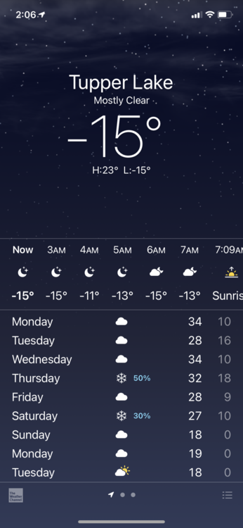
I’m driving (with a neighbor) to visit his old buddies at Tupper Lake this weekend for ice fishing and snowmobiling. Leaving South Carolina on Thursday. I hope the interstates are OK… still, I’ve made better decisions. -
January 20-22 “bring the mojo” winter storm threat
mryanwilkes replied to lilj4425's topic in Southeastern States
From Chris Jackson (South Carolina) ”Post coming by 10pm. Looking at the latest guidance coming in and the upper air balloon soundings from this evening. For the Pee Dee my thoughts remain unchanged for the most part, but I’m currently leaning towards more impacts in the Midlands than I thought would occur yesterday. Give me a bit to look over this pretty thoroughly and I should have something out by 10. - Chris” -
Back down again at hour 54.
-
You mean 8 feet, right?
-
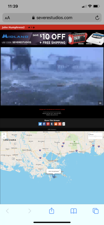
I’m starting to see some larger items floating by on that Grand Isle camera. Pixilated, but visible.
-
Can someone define what GSHDDs is/are? Google is failing me. TIA!
-
Yeah, that was me that originally asked the question. Constant lurker. Infrequent commenter. Was bouncing around between threads and didn’t realize I was on the Obs thread. A couple pics of our members with him piqued my interest.
-
Me?!
-
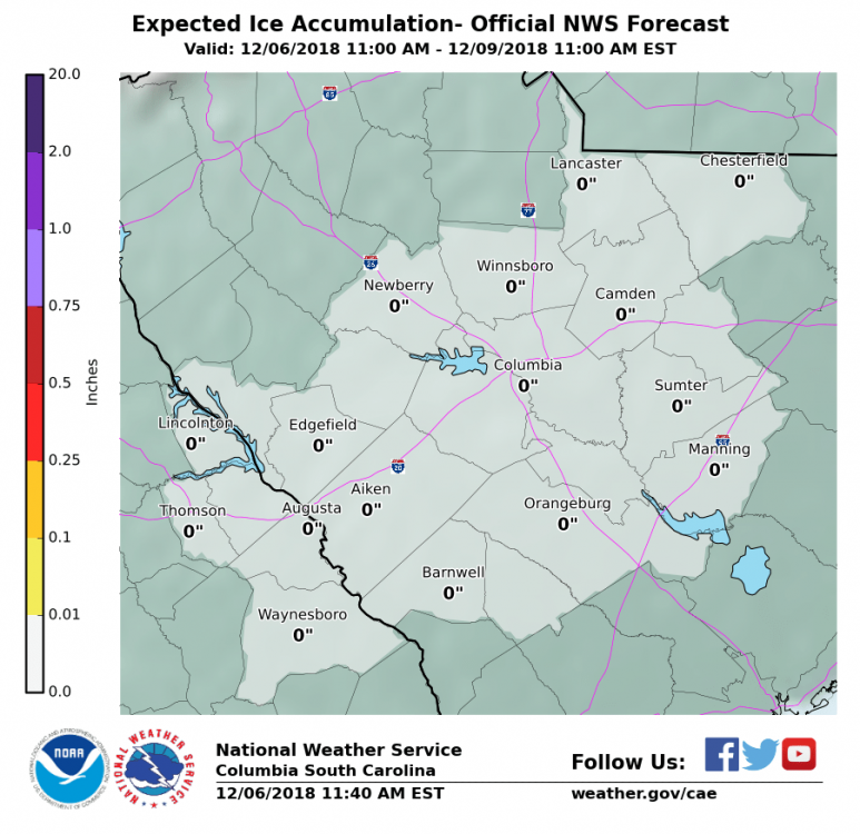
CAE is saying that there's not even a chance for ice. Wouldn't have expected that for Winnsboro and the north midlands.


