-
Posts
343 -
Joined
-
Last visited
Content Type
Profiles
Blogs
Forums
American Weather
Media Demo
Store
Gallery
Everything posted by jjwxman
-
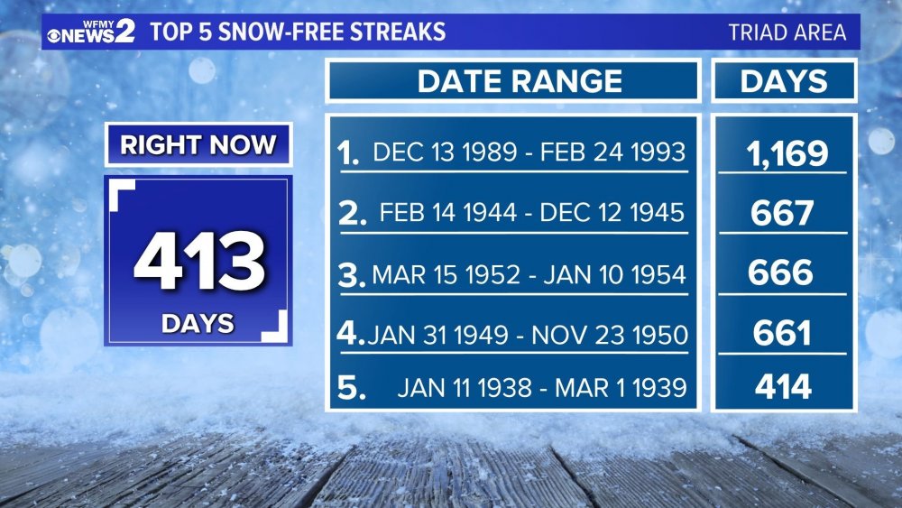
Credit: WFMY 2. This is for the GSO reporting location, we move into 5th place tomorrow. How in the heck did we survive the early 90’s... geez.
-
Here's Pivotal Weather's UKmet sounding for Saturday over GSO with total QPF of around 0.4"... so very close. This kills me.
-
Hey btw, Pivotal Weather now has UKmet maps... surface and upper air. I'm sure the free days are numbered... but maybe not?
-
The progression of next weekends storm system on the 00z GFS was very weird. At hr 138 it has the LP center just west of Tampa, FL. Then at 142 it has the LP center over Nashville, TN.
-
Both the GFS and Euro were very close to being a big event. I like where we are currently. Lots of time for adjustments... hopefully colder adjustments.
-
The 12z Euro has the storm as well. But it’s slower with the system and the warmest model right now. Lots of time for adjustments. I’m just glad we have a system all the global models are picking up on. Might be the first time this season. Lol
-
If PTI (Greensboro,NC) ends the month with no measurable snow, which is looking likely, it will be the first time we’ve gone back to back January’s without any snow since 92 & 93. Interestingly enough we all know what happened shortly after in March of 93... Hope is alive and well!! Lol.
-
-
Wow, the 18z GEFS was strong on the CAD. It actually kept the favored NC western Piedmont and Foothills below freezing through 18z Saturday.
-
Who’s up for some front end action this weekend?.... As in frozen precipitation of course.
-
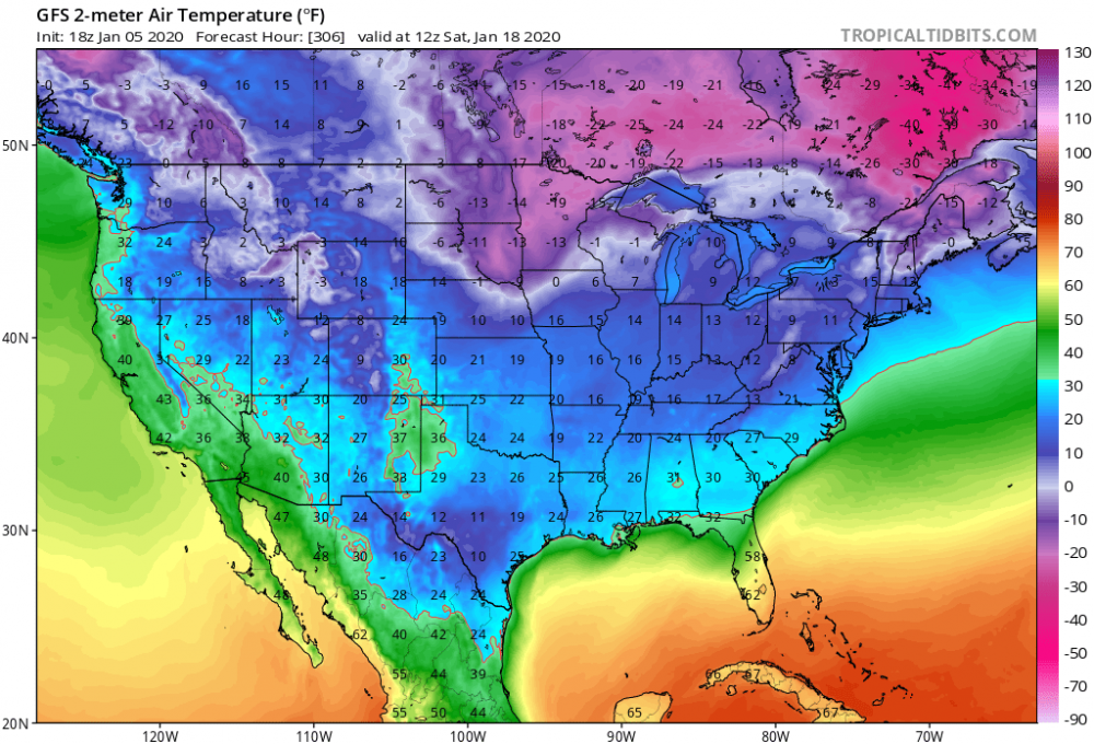
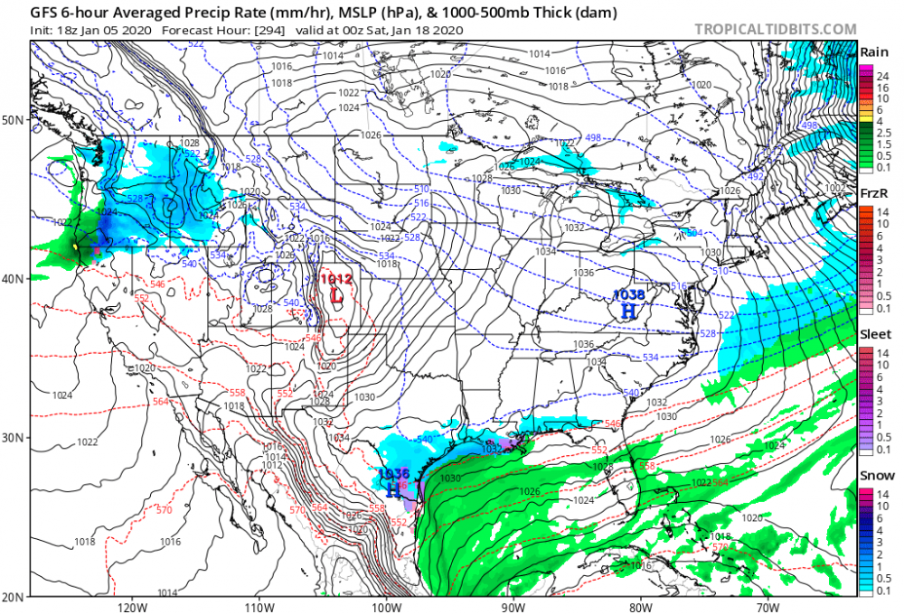
Haha... the fantasy land GFS takes the 540 line all the way to the GOM with snow from Brownsville to New Orleans... Sigh...
-
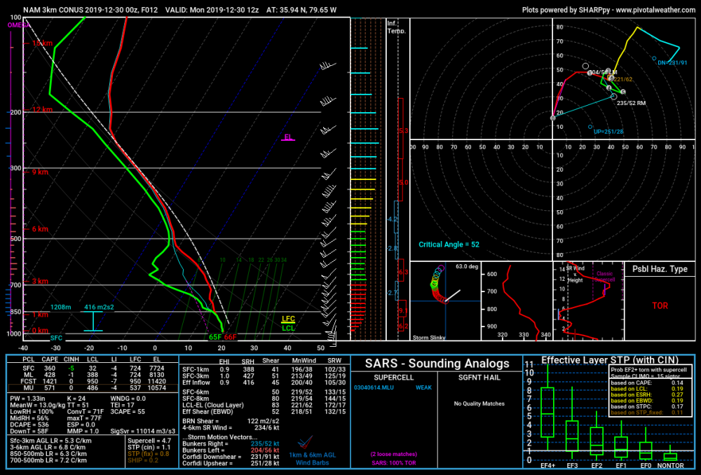
The NAM and HRRR both support an isolated severe event on Monday 12/30. Another HSLC set up. Maybe we’ll fit in one more lightning bolt to wrap up 2019.
-
Regardless, I'm not sure if I've ever seen wind speeds this high above the surface over NC. Incredible. Lots of potential, but like @downeastnc said the bust potential is high as well.
-
The word "Historic" should only be used during or after an event IMO. 4/16/11 was historic.
-
But the 12z NAM suite just made a case for the moderate risk... Geez look at those backing SE Surface winds. Increased surface cape as well, slower with the system.
-
For the Carolinas: I don't think we'll see a Moderate Risk. (but what do i know ) There are few things that will plague this forecast. 1st. The influx of tropical moisture will likely cause a warm layer around the 700-500mb level, this will weaken the mid level lapse rates. 2nd. The whole column looks very tropical, there will likely be a lot of cloud cover so CAPE will be limited. 3rd. PW values will likely be at record territory for this time of year, and with the slow progress of the system west to east, flooding will probably be the forefront of this event from training storms. I wouldn't be surprised to see some 2-4" rain totals in some areas. 4th. If we do see some sun and decent destabilization then this could turn out to be a significant severe weather event, particular for damaging winds, the hodographs are more elongated than curved, so the tornado threat should remain isolated in nature unless we get more backing from SE surface winds. A lot to decipher over the coming days.
-
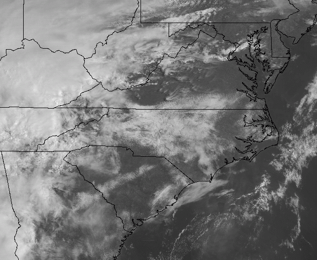
That's good analysis from RAH. The sun is beginning to break through now in south Greensboro, seeing some blue sky finally.
-
-
Here's the 12z HRRR sounding over central NC at 20z. Storms begin to initiate shortly after this sounding at 21z. Damaging winds, and hail seem to be the main threats. Wouldn't rule out a spin up on the more discrete cells that form ahead of the main line of convection.
-
Shocking isn't! Glad I held on to my big grain of salt! Ha!
-
Ha, the Euro now has temps in the mid 60's over central NC with thunderstorms Sunday evening/night. Ugh..............
-
12z HRRR...
-
Pivotal Weather has a better simulation than TT (and snow maps). It just light precip, based on the sounding it should be a rain snow mix in GSO at hour 36.
-
NAM definitely trended south with the higher snowfall totals since 18z yesterday. Here's Thursday's 18z and this morning's 06z run.
-
Wow! That’s approaching Dec. 2002 type of Ice Storm. All in all, this run was colder than the 18z. More snow in the Piedmont this run. Verbatim the Triad got 2-3” Kuchera on the 18z Run, on the 00z run the Triad got 5-6” of snow before the switch. So maybe slowly the NAM is begining to adjust cooler. Fingers crossed.


