-
Posts
343 -
Joined
-
Last visited
Content Type
Profiles
Blogs
Forums
American Weather
Media Demo
Store
Gallery
Everything posted by jjwxman
-
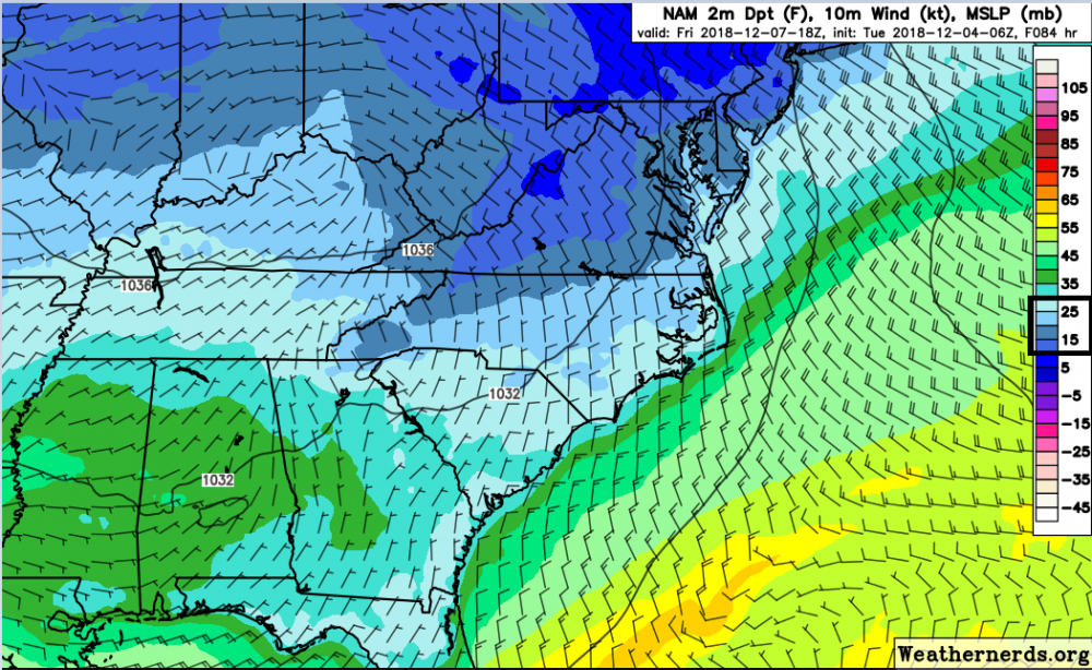
I agree 100%. The dewpoint on the NAM at 84 is 10-20 degrees cooler than the GFS. Now we all know the NAM past 48 hours can be a crap shoot, but these numbers are probably not all that off.
-
The HRRR also nailed the warm nose in that Jan 2017 system.
-
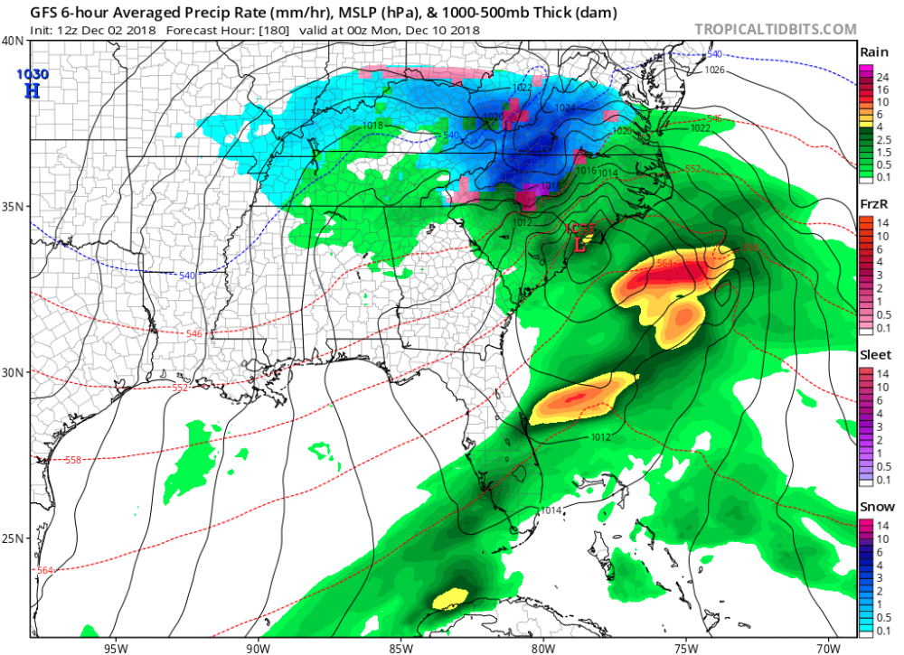
O M G... And here comes another LP at hour 156. These totals are going to be unbelievable... literally.
-
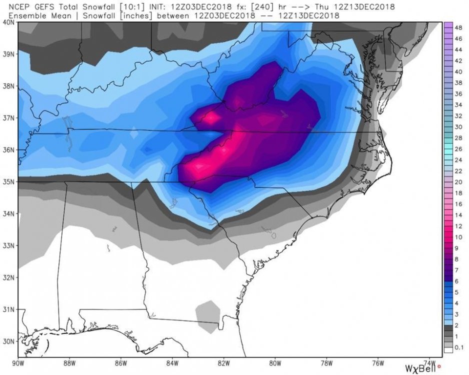
Wow, almost a carbon copy of the GEFS mean. Incredible really.
-
Does anyone have the 12z EPS mean snowfall they can share? Or what does it show for the NW Piedmont of NC? Thanks.
-
12z EPS: You really can't ask for much more than this at this stage in the game. Roll on!
-
In RAH’s video update put out around 12:30pm on YouTube they told folks not to change their weekend plans, just keep aware of latest forecasts.
-
It's the NEW GFS! What could go wrong??
-
The FV3 is all love for a good portion of NC and Southern VA.
-
The 12z GFS is about to start it's run on TT. Let's see what kind of craziness the the 12z suite will us bring today.
-
FWIW the 6z GEFS had several members jump north, although the mean still looks further south.
-
I did take note of that. There were only two or three EPS members that had a somewhat close 00z OP outcome. 0 out of 50 had 30" totals like the OP had for the NW NC Mountains and SW VA.
-
Yea, RAH is wisely erring on the side of caution as they often do. They are mentioning that CAD favored areas may see at least a wintry mix of all P-Types Saturday night.
-
Yes I will be very surprised if the GFS doesn’t commence a more suppressed campaign for the next 24-48 hours. Always happens it seems.
-
Global models underestimate the CAD, so it may be more of a realistic outcome.
-
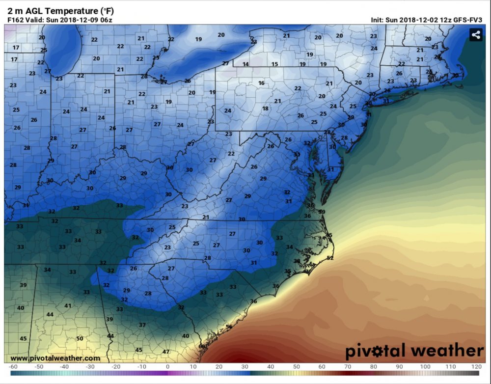
The 12z FV3 was a very cold run. http://www.pivotalweather.com/model.php?m=gfs_fv3&p=sfct&rh=2018120212&fh=162&r=us_ma&dpdt= http://www.pivotalweather.com/model.php?m=gfs_fv3&p=sfct&rh=2018120212&fh=162&r=us_ma&dpdt=
-
Taken verbatim the GFS drops 6-8 over the Triad before it changes to rain... But I’m not so sure I buy the switch over to rain along and west of the I-85 Corridor. Who knows...
-
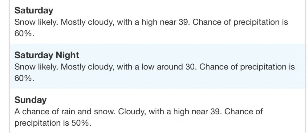
So how about this forecast for Greensboro from RAH... is this their way of telling folks not to let their guard down? Seems a little over the top to me based on the forecasts... Thoughts?
-
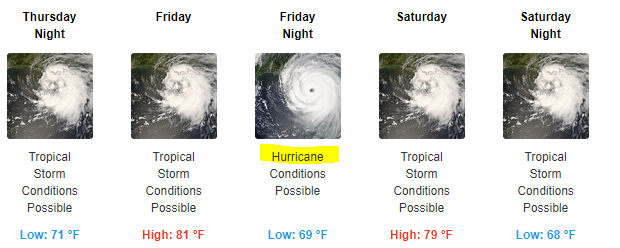
Many areas in western NC have already had a surplus of rain this year. A stalling hurricane plus strong wind gusts over this area would be terrible. Let's hope against that outcome.
-
The December to Remember 7th-8th blue turd winter threat thread.
jjwxman replied to lilj4425's topic in Southeastern States
Raleigh is considering upgrading portions of the NW Piedmont to a Warning in their afternoon forecast package. Discussion: A Winter Weather Advisory is in effect for the Northwest and Northern Piedmont including the Triad area for 1 to possibly 2 inches of wet snow. A Warning may be needed for portions of the Northwest Piedmont and the Advisory may need to be extended eastward with the afternoon forecast package... -

The December to Remember 7th-8th blue turd winter threat thread.
jjwxman replied to lilj4425's topic in Southeastern States
Thundersnow reported in Jackson, MS earlier. -

The December to Remember 7th-8th blue turd winter threat thread.
jjwxman replied to lilj4425's topic in Southeastern States
The NWS offices across the deep south/ SE are reporting overachieving occuring.


