CAPE
-
Posts
36,851 -
Joined
-
Last visited
Content Type
Profiles
Blogs
Forums
American Weather
Media Demo
Store
Gallery
Everything posted by CAPE
-
High of 25 here. Currently 17.
-
Must have been a brief snow shower here overnight. Skiff of snow on the deck and car. 20 currently.
-
For sure but what happens between 72 and 84 hours...only 3 days away seems to have significant bearing for the weekend so we should have a better hande in next day or so The 2 primary things to watch imo are the speed of the ocean low moving up towards the Maritimes, and timing/location that piece of energy dropping in over the ridge from Canada. Look at the position of that shortwave on the 6z GFS compared to a couple runs ago. It was acting like a kicker and on the latest run there is more spacing between it and the Maritimes low, allowing heights to build to our NE. It tries to partially phase, pulls the coastal further westward and it gains more latitude. Who knows if the GFS has the right idea here but it underscores the uncertainty.
-
Give me cold in place and I will take my chances. Sure a phased bomb hugging the coast could still wreck it, but I like the odds with moisture moving into an entrenched cold air mass.
-
Gfs making bold statements in all 3 of our winter storm opportunities When I say shockingly, ofc I am being facetious. The usual moving parts and still 6 days out. This is far from resolved. The advertised pattern will continue to present chances. Given how things kicked off last week, I think we may have the 'luck' part working this time.
-
Shockingly there remains plenty of uncertainty at this juncture wrt the interplay and timing of the key features. Buckle up weenies.
-
Not even close.
-
I went back and dug that up a couple winters ago. Just epic. Instant classic, and maybe the best series of posts ever made here.
-
I only commented because I was looking through the panels on WB for that period and the p-type maps there indicate snow at that same time. I mean temps are 34-35 and the precip at that point is light so it really makes no sensible difference, but I have seen ptype 'disagreements' on TT compared to other sources before, so some interpretation probably with marginal surface temps. Imo people rely too much on those maps instead of looking at the temps through the column and qpf.
-
No it doesn't matter, but that is just TT p-type suckage.
-
Light rain with temps in the 40s wont take it all, with more cold right on the heels. I just felt like being dramatic and depressing for Ji.
-
Tomorrow is gonna wreck my deep winter look, and it may never snow again.
-
It was probably closer to 10 days, but we were in a total shit pattern then, and the tendency was to look too far out for something better. Same thing can happen now when we have a more favorable/ colder pattern. Find the warts! Overall it looks dry, but like Bob said threats often pop up in the mid range, esp in the advertised regime.
-
Low of 16. Thought it would be closer to 10 given how well it radiates here with snow cover, but maybe the wind didn't diminish as fast as forecast.
-
We have a cold look now, so we are in the game. Without cold in place it rains in my yard 9 times out of 10. The period around MLK day still looks interesting. Beyond that who knows.
-
The advertised pattern in the LR is generally a cold and dry look on the means. Spilt flow with a hint of a southern stream underneath the ridge out west, but it looks suppressed with the southward displacement of the TPV.
-

Mid-Atlantic forum winter 2021/22 snow totals thread
CAPE replied to North Balti Zen's topic in Mid Atlantic
1/3/22- 9.5" 1/7/22- 3.2" Total: 12.7" -
3.2" Solid 5 days of winter here, with 12.7" of snow. That just about equals the total for the last 2 winters combined.
-
Yeah, decent with some big, fluffy dendrites, but as advertised the best banding is east over DE and into SNJ.
-
The back end band looks pretty decent on radar as it approaches. Lets see what it do.
-
28.5 with moderate snow here currently. I'm guessing it started after 1am. Decided not to lose sleep over this one after the big storm earlier in the week lol. Pretty out there, looks like 2" so far just eyeballing. The 2-4" forecast looks good for here unless I get in on some meso banding, but that looks like it will be east of here per most guidance.
-
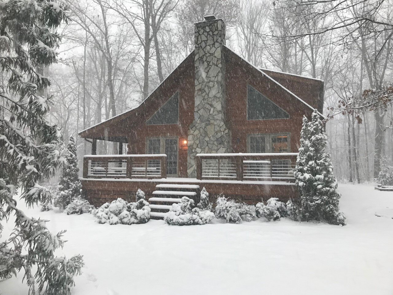
Just got back home from the snowless mountains. Temp is 38. Snowpack needs a refresh.
-
Outside of the western highlands this is still probably a 2-4 deal for most. Any banding that develops would be pretty brief given the relatively short duration of this event overall. Those areas would probably see an additional inch or 2.
-