CAPE
-
Posts
36,292 -
Joined
-
Last visited
Content Type
Profiles
Blogs
Forums
American Weather
Media Demo
Store
Gallery
Everything posted by CAPE
-
Oct-Dec are Fall months here. So Jan may feel "chilly".
-
Perpetual -PNA
-
Give it a couple months.
-
So October to next September. That's a hell of a long range.
-
Yes. And the GFS would mostly pummel places to our NE. It has a few sprinkles over here lol.
-
WPC has a slight risk of excessive rain for the NW burbs today and expands it eastward for tomorrow.
-
The focus for heavy rain today is along the stalled boundary to our north. The western Atlantic ridge will flatten and the boundary will slowly sag south tonight and tomorrow, bringing the chances for rain further southward. For DC and points east/south, it appears the chances for significant rain are tied to a final piece of vorticity ejecting northeastward tomorrow that looks to induce a bit of a surface low. I like the depiction on the 0z Euro for my yard.
-
Looks like some decent juice with some lift across the region.
-
I am at a point in my life where traveling for weddings and funerals is optional, and I will usually pass and just send my condolences.
-
Or the DE beach. There have been at least 3 10"+ storms there since 2017, including 2 blizzards.
-
Every MA winter weather fan should know that a -AO is fundamentally important. In its absence a -EPO pattern can deliver cold, but without episodes of NA blocking snow is a bit more of a crapshoot.
-
Slight differences from the last few runs.
-
Mostly a miss just south of here. 0.18". Glad I got the unexpected half inch on Sunday. That plus this little refresher kept me from having to run the sprinkler to keep the new grass watered for a few days.
-

2022 Mid-Atlantic Severe Wx Thread (General Discussion Etc)
CAPE replied to Kmlwx's topic in Mid Atlantic
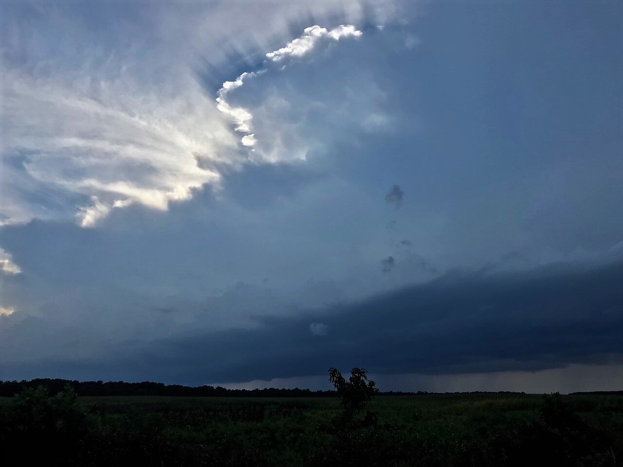
Thin but intense looking line heading this way. See if it holds together. Pretty noisy off to the west.
-
One thing we do know is the state of the SPV does not always dictate the character of the TPV, which is larger, not seasonal, can manifest as multiple vortices, and more directly influences our sensible weather.
-
Ended up with 0.55" Steamy out there this morning.
-
Finally a solid downpour, after hearing thunder for a few hours from cells pulsing in seemingly every direction. Nebulous back door front seems to have contributed to the activity here. Seems to be winding down now. 0.42".
-
Missed in every direction lol. Trying to move up from the southwest now. Lets see if the shields hold.
-
Clouded over and thundering here. Nice cell popped just to my north. Someone is getting a nice deluge. Probably no chance of it coming here with weak steering flow/pulsy nature.
-
87/71 Pretty gross. Still looks like we get a couple days with a refreshing airmass featuring normal temps and dewpoints in the 50s the end of the week, but the warm and sultry conditions look to return pretty quickly. Embrace MA extended summer.
-
Oak tree blight has been common on the eastern shore for years, but not sure what the cause is- probably multiple factors. Primary symptom is the tree doesn't fully leaf out, and the following year basically nothing, so its dead standing. Some info here from UMD- https://extension.umd.edu/resource/why-oak-trees-are-declining-or-dying The photo at that link is what the trees here look like up top before they rapidly deteriorate. I have a big one over my parking area with several dead branches and just had it cleaned up a week ago. Temporary fix as the tree will likely have to come down next year. I have 3 that are dead standing out back and the insects and woodpeckers are having at those, but they are far enough back that I will probably let nature take its course. The oak tree that fell a few weeks ago during a storm was a victim of carpenter ants- it had a weird extended trunk at the base with an opening that probably gave them access.
-
I teach everything from sensors- RTDs and thermocouples, pressure and flow measurement methods etc, PLC programming and troubleshooting, PID control/tuning, to industrial networks that are found on modern vessels. In general we provide technical and regulatory/safety training to US Merchant marines, MSC, US Navy, Cruise ship industry, dredging and marine services.
-
Gas hydraulic splitter here. Bought it in 2005 after clearing part of the lot for the building site. Its held up well. I think I bought firewood twice in all the years since. With 6 acres of hardwoods and oak tree disease pretty common here, usually no shortage of wood to harvest for fuel.
-
I teach all aspects of industrial automation/process control to Marine engineers. You can probably figure out where knowing generally where I live and letting Google help a little.