
cyclone77
-
Posts
18,904 -
Joined
-
Last visited
1 Follower

About cyclone77

- Birthday 01/13/1977
Recent Profile Visitors
19,522 profile views









-
Event total of 1.98" here. Definitely much appreciated.
-
Shocker lol.
-
Dew has dropped to 72 here now. Just stepped out and it's amazing how much better a 72 degree dew feels compared to an 82 degree dew.
-
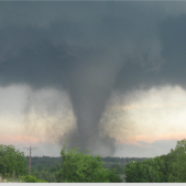
Dews here have jumped back into the 80s as the dormant boundary approaches. Feeble cumulus flailing in failure along the boundary as it approaches the QCA. EDIT: And now that the boundary is southeast of us it has ignited several storms.
-
Chicago and Cedar Rapids sure seem to reel them in don't they? Made it to 97 here today with a peak dew of 82. MLI tagged 96 for the hottest temp of the year so far.
-
Picked up 0.05" earlier. Better than I expected today.
-
Dew of 83 here earlier. Currently sitting at 92/82/115.
-
Sioux City ASOS site hit 83 degree dewpoint earlier this evening, and hit 119 for heat index. Tremendous pool of 80+ degree dews from southwest MN down into northeastern KS.
-
Exciting times ahead.
-
Looking forward to seeing a frontlit anvil on eastern horizon at sunset.
-
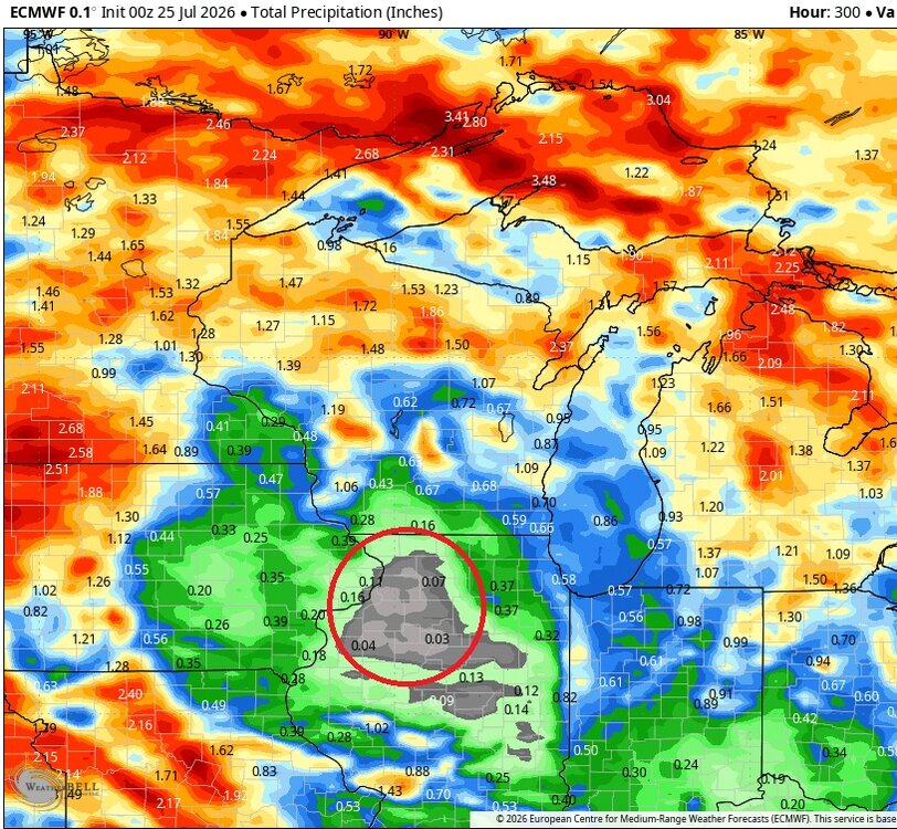
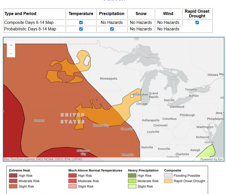
Forrest Gump voice...and just like that, another rapid onset drought was forecast.
-
48 here this morning.
-
Another 4-5" rain event just north of Des Moines today. That area has been hammered this summer. Somewhere in that area has probably had 20+ inches of rain in the past two months.
-
After a little break from the heat this week it's coming back next week. Up to 0.22" for the day.
-
0.17" of anvil rain earlier.