All Activity
- Past hour
-
Heat is completely gone here for the next week now. lol
-
Let’s see how this fails.
-
Shoukd be bangers tomorrow too
-
Wind looks good on radar
-
rope tornado in Jones County, Iowa (Onslow, IA) debris in the Milwaukee area seems to have gone away
-
Red hued lightning way west
-
Yard is flooded and the street looks like.a river.. some of the heaviest rain in years
-
Fox 6 Milwaukee is taking shelter per livestream.
-
This is fooking nuts!!!
-
Looks decent from here
-
Holy shit must be gust to 60
-

Central PA Spring 2026 Discussion/Obs Thread
mahantango#1 replied to Voyager's topic in Upstate New York/Pennsylvania
87 for the high today. -

Central PA Spring 2026 Discussion/Obs Thread
pawatch replied to Voyager's topic in Upstate New York/Pennsylvania
Nice morning on the water. It was a slow bite…or maybe I wasn’t throwing what they wanted. 85 for the high.
-

-
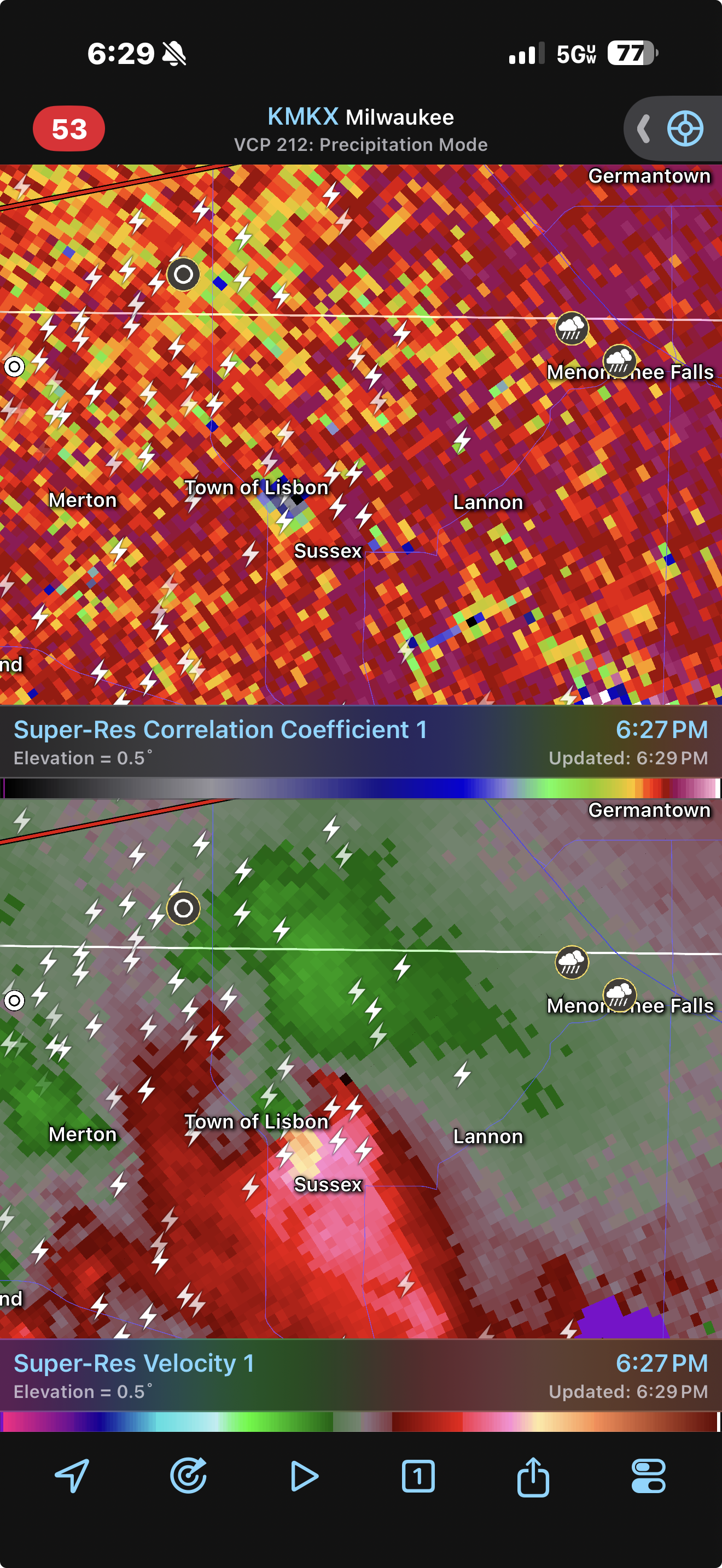
Cc drop NW of Milwaukee
-
velocity couplet just got a lot better at Merton, WI outside of Milwaukee
-
-
Looks like it might be in the perfect spot
-
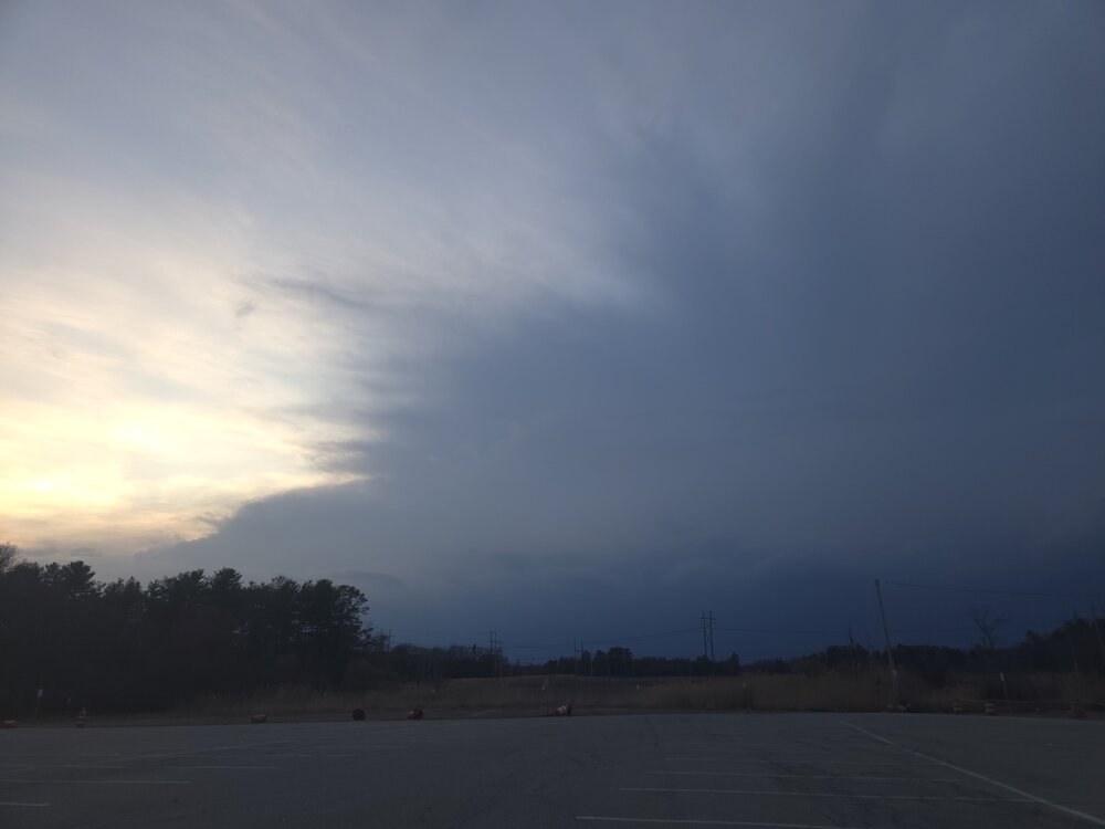
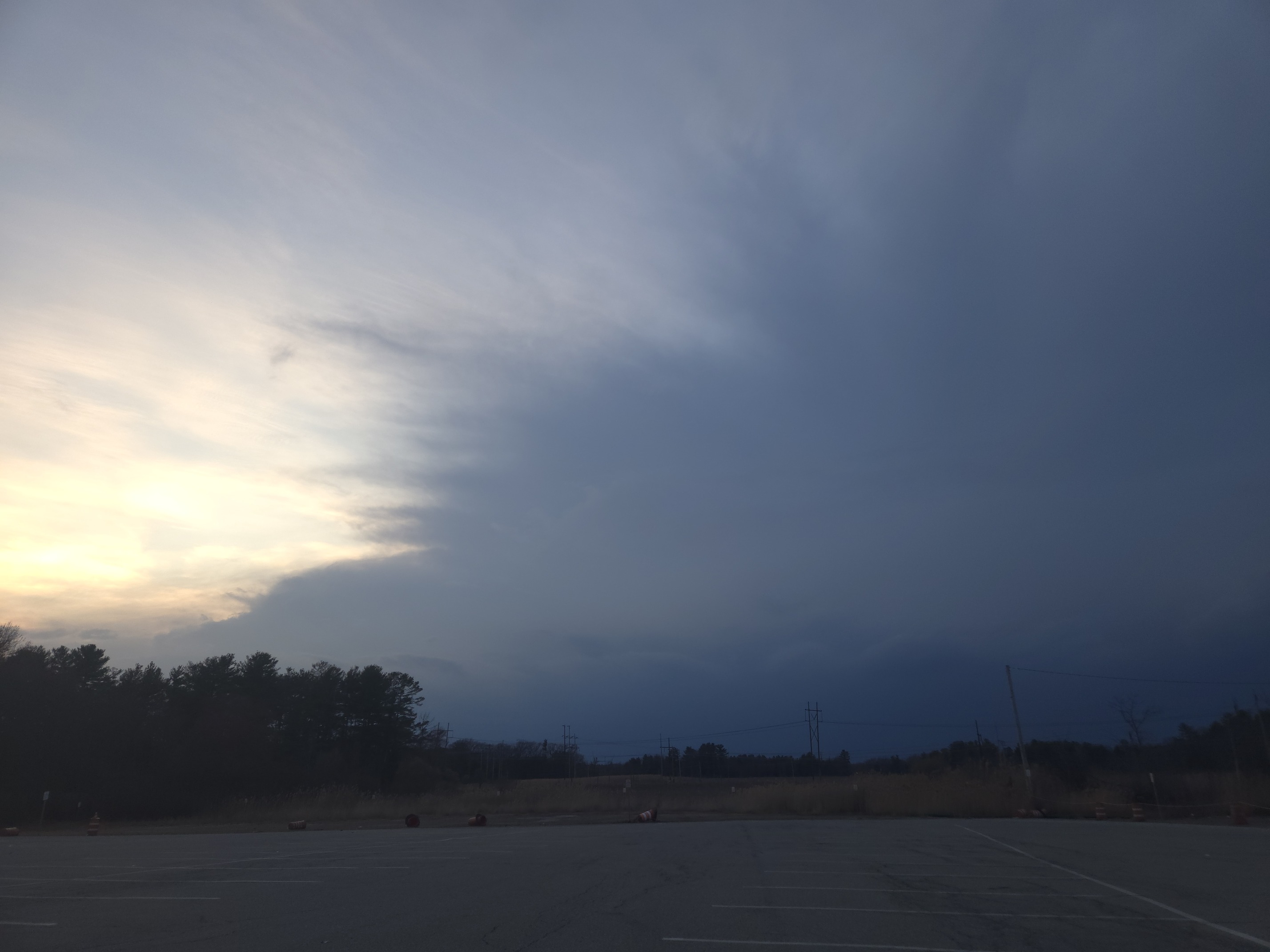
Wind kicking up very dark to the west now
-
Take some pictures
-
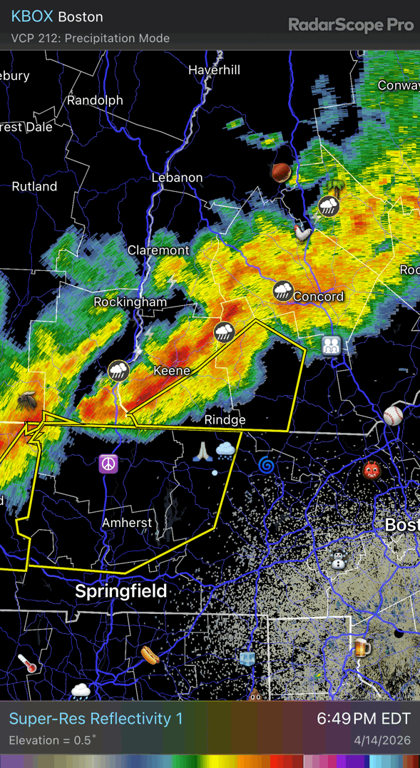
First warning of the year!!! LFG Severe Thunderstorm Warning MAC011-013-015-027-150015- /O.NEW.KBOX.SV.W.0002.260414T2309Z-260415T0015Z/ BULLETIN - IMMEDIATE BROADCAST REQUESTED Severe Thunderstorm Warning National Weather Service Boston/Norton MA 709 PM EDT Tue Apr 14 2026 The National Weather Service in Boston/Norton has issued a * Severe Thunderstorm Warning for... Northwestern Worcester County in central Massachusetts... Hampshire County in western Massachusetts... Franklin County in western Massachusetts... Northwestern Hampden County in western Massachusetts... * Until 815 PM EDT. * At 708 PM EDT, severe thunderstorms were located along a line extending from near Colrain to near East Windsor to Housatonic, moving east at 45 mph. HAZARD...60 mph wind gusts. A wind gust to 59 mph was observed in Pittsfield as of 658 PM. SOURCE...Radar indicated. IMPACT...Expect damage to trees and power lines. * Locations impacted include... Chicopee, Holyoke, Amherst, Northampton, Greenfield, Orange, Deerfield, Ludlow, Gardner, South Hadley, Easthampton, Belchertown, Monroe, Athol, Winchendon, Ware, Montague, Templeton, Granby, and Ashburnham
-
Happy dendrite getting some rain.
-
We tried to tell them.
-
Actually, not Stein! That line blew up quick!


.thumb.png.4150b06c63a21f61052e47a612bf1818.png)