FallsLake
-
Posts
6,317 -
Joined
-
Last visited
Content Type
Profiles
Blogs
Forums
American Weather
Media Demo
Store
Gallery
Everything posted by FallsLake
-
I agree. He hasn't responded in over two weeks. Was there any issues on this site; like arguments with other posters? If not, it would be nice to check (if possible).
-
That's rain changing to snow. So cold air overtaking the system with perfect timing; which we know is usually an issue (...and is 11 days out). The most important thing about the 12 GFS is the pattern that it show for the LR. We have to try not to look at the fantasy storms that should start popping more in the coming days. **but we will look...
-
Lol...You beat me to it Fraz..
-
LOL, I really like how the 12z GFS is depicting the change to a colder patter after day 10........and I like the fantasy storms as well
-
1980 --- I was just a kid living down in Goldsboro, but I remember four foot drifts from what was truly a blizzard. Lots of snow, high winds, and very cold temps (falling into the single digits at the height of the storm). The NE part of the state did end up with more than 2 feet:
-
Indices looking even better today: PNA - Looks to go positive in the LR (good) AO - Looks to go strongly negative (great) NAO - Looks to go negative, by average, in the LR (incredible, because we never see this anymore) http://www.cpc.ncep.noaa.gov/products/precip/CWlink/daily_ao_index/teleconnections.shtml EPO - Looks to go negative in the LR (good) ftp://ftp.cdc.noaa.gov/Public/gbates/reforecast2/teleconn/4indices.png The above would support CRs pizza map....
-
I'll take a sleet storm. Just have to get enough to make it relevant. I've said this 10 times in the past, but my favorite storm of all time was the 1996 January storm. Got 6" of mostly sleet which was amazing. Stayed cold afterwards and a week later had a huge freezing rain event. Even the January storm of last year was great (to me). That was nearly 5" of sleet and snow.
-
Here's the link to the free videos: https://www.weatherbell.com/#premium
-
Indies today looking better for the LR: NAO - Actually has about 40% of the members going negative, but the average is still positive (not good, but there's hope) AO - Has about 80% of the members going negative; with many strongly negative (good) PNA - Has almost all the members going neutral or slightly positive (ok) EPO - Looks to go slightly negative (ok/good)
-
That was a good post. The indices from yesterday look like they want to improve in the LR. So I feel good with how things are progressing. We just need one more decent winter storm; then bring on spring.
-
The pattern we're going into for the next two weeks is not good for east coast storms. The air is more Pacific sourced and the storm track will tend to stay to out NW (lake cutters). The one good thing is we really don't torch. After each storm passes (to the NW) as a cold front we cool down to at least normal before the next warm up and frontal passage. You would think we'll get one to two more favorable periods before winter ends. So yeah, bring on Fab February!
-
So we all agree that we're moving into a warm period. But even during warm periods, in the middle of winter, we can get a quick hitting event if the stars are aligned. Below is the day 10 CMC. It would just take a little more push or strength from the high to turn this into a small ice event. **again not saying this 10 day event will occur but we can't go to sleep during these next two weeks.

-
We had this in Feb 96 (not a big storm but still nice): Then in Feb 2013 we had this (also a couple if ice events, and some storms into March):
-
Yep, officially 6.1". They had 1.2 before this storm and now the from Dec 1st total is 7.3. Below are totals for the last two days: WEATHER ITEM OBSERVED TIME RECORD YEAR NORMAL DEPARTURE LAST VALUE (LST) VALUE VALUE FROM YEAR NORMAL .................................................................. <THIS IS FOR YESTERDAY> SNOWFALL (IN) YESTERDAY 0.2 3.0 2000 0.1 0.1 0.0 MONTH TO DATE 7.0 1.6 5.4 0.5 SINCE DEC 1 7.3 2.2 5.1 0.5 SINCE JUL 1 7.3 2.3 5.0 0.5 SNOW DEPTH 6 <And here is Wednesday> SNOWFALL (IN) YESTERDAY 5.9 R 4.0 1946 0.1 5.8 0.0 MONTH TO DATE 6.8 1.5 5.3 0.5 SINCE DEC 1 7.1 2.1 5.0 0.5 SINCE JUL 1 7.1 2.2 4.9 0.5
-
I think their official snow amount will be 6.1". They received .2 after midnight yesterday: **for some reason I can't past right now.
-
This could work:
-
Indices look better today: AO - Looks to go strongly negative (good) PNA - Looks to drop negative but go back positive in the LR (OK) NAO - Looks to go neutral in the LR (great because I don't think it can go negative in the winter anymore) http://www.cpc.ncep.noaa.gov/products/precip/CWlink/daily_ao_index/teleconnections.shtml EPO - Going slightly positive (not good)
-
Interesting time on the boards today. Had a Burger and Brick sighting. WilkesboroDude has been posting. Need Pack back; and of course if Robert started posting again that would be something.
-
Where's pack?
-
Just for the fun of the discussion, RDU would go from low 30s to the upper teens during the event. I would suspect there would be some high ratios. **If this happened as depicted.
-
Here it is. As you said improved from last run that showed nothing:
-
The problem with this potential event is we're depending on a clipper and then last minute coastal development. I'm not sure any models will be able to give us a good idea of what eventually happens up to go time. There will most likely be flip flops for each model run. The ensembles may be the best tool to follow for this particular type of event.
-
I've seen Chatham County setup with the best radar returns many times in the past. Not just with snow but rain.
-
If (If IF IF) this event happens, our area could easily be the jackpot. These types of systems can benefit anybody in the Piedmont down to the coast.
-
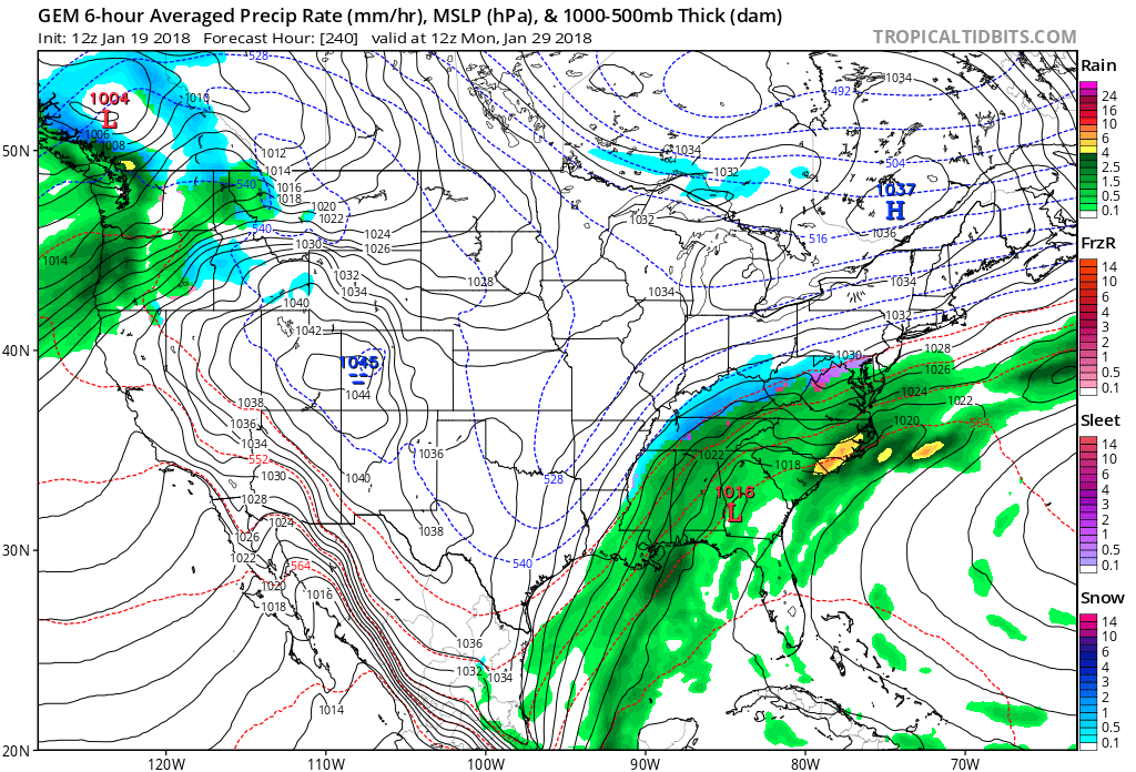
Yeah, I have that link. It would be nice to have total precip values and not just rates. But beggars can't be choosy.