-
Posts
4,481 -
Joined
-
Last visited
Content Type
Profiles
Blogs
Forums
American Weather
Media Demo
Store
Gallery
Everything posted by olafminesaw
-
-
-
-
Ties the all time DSCI record for the SE region previously set 12-18-2007
-
-
-
-
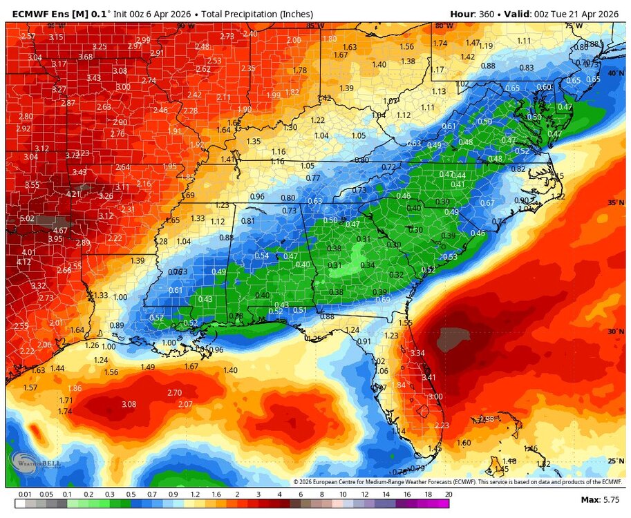
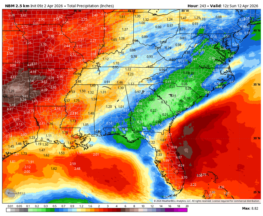
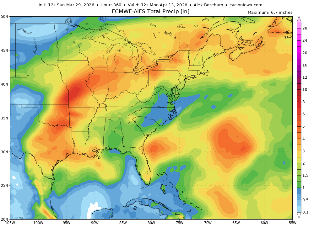
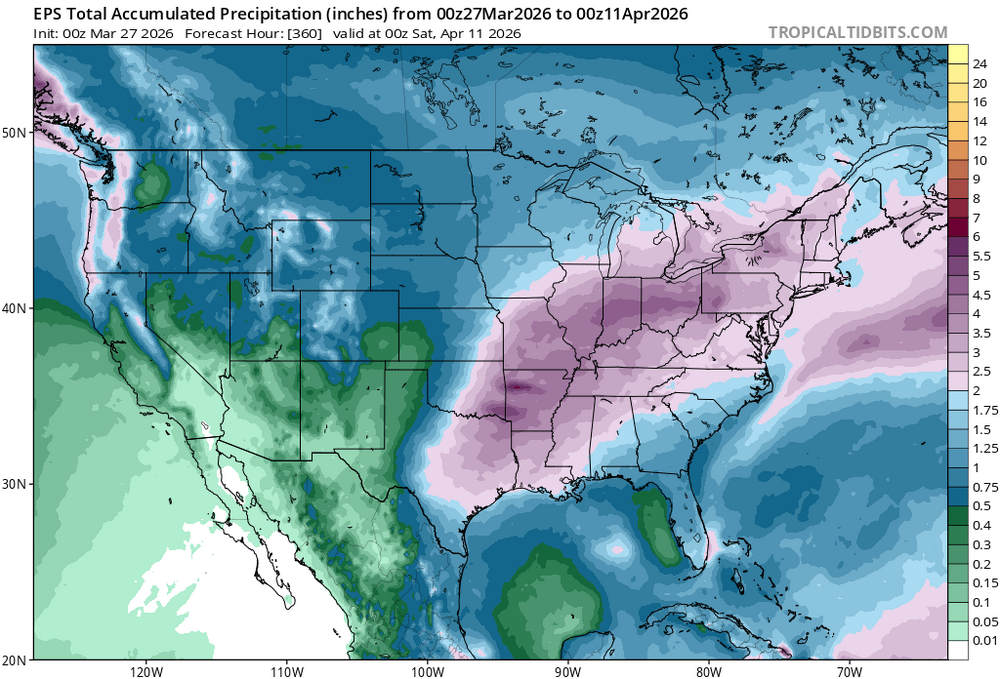
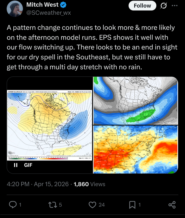
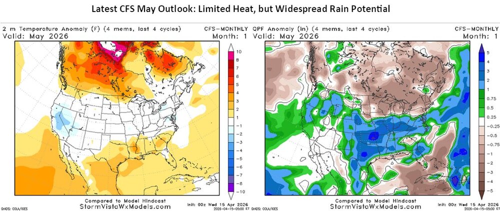
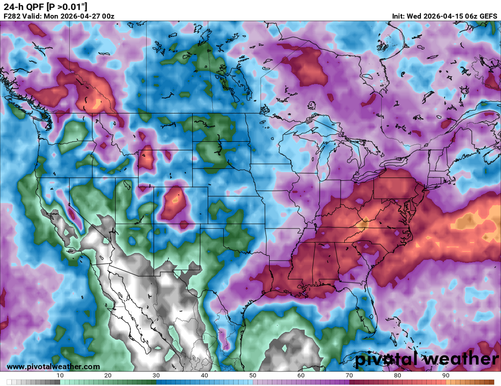
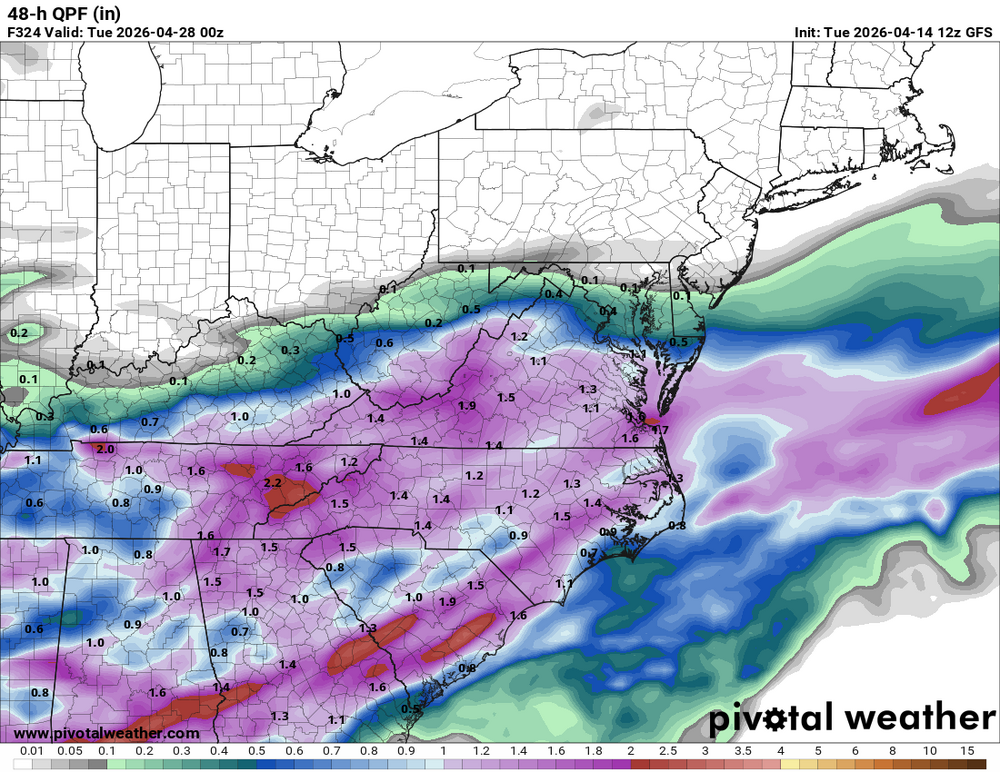
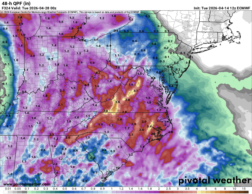
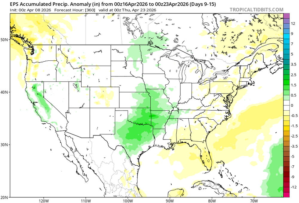
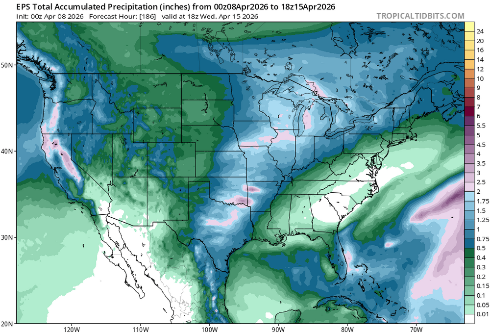
Somewhat lower odds of a washout in the 10-14 day timeframe we are watching, but odds continue to increase for at least some rainfall
-
-
The Mariana islands gets just about as many high end typhoons as anywhere else I nthe world. Saipan took a direct hit from a cat 5 back in 2018. I am guessing that Saipan didn't get much above cat 2 winds from this, with maybe some higher gusts. Good timing with the ERC.
-
-
My forecast for Saturday is 94 with a dewpoint in the low 50s, flash drought conditions under any circumstances
-
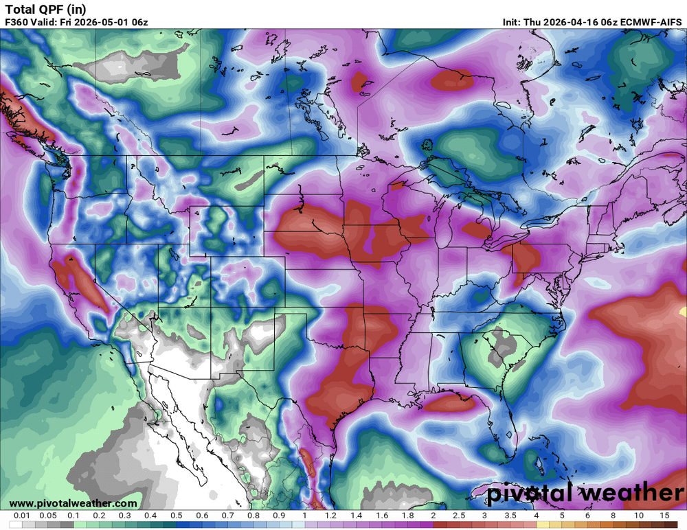
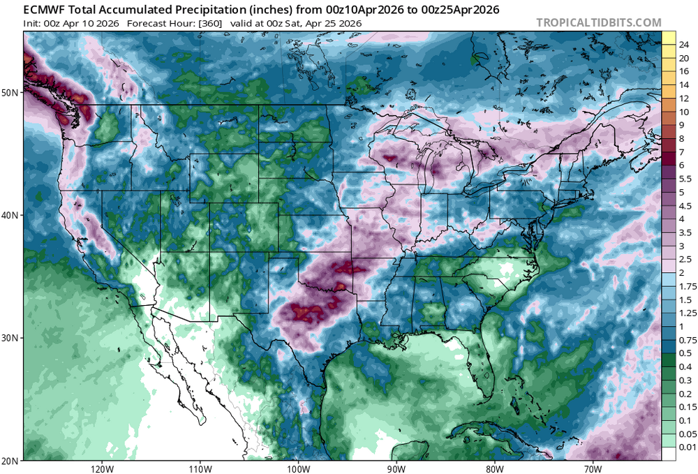
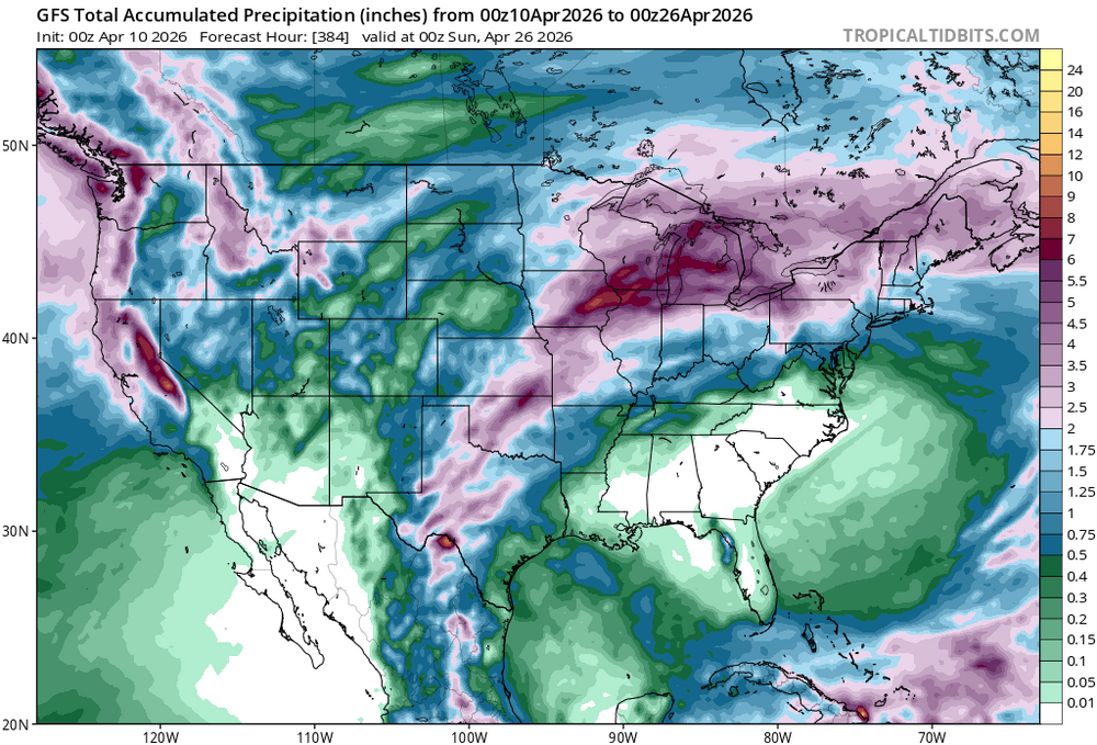
I usually check the GFS full run every morning and don't think I've ever seen a completely dry run. Insane. Euro is nearly completely dry too I have to believe by May we will be starting to see a pattern change
-
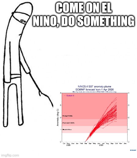
Drought to worsen and fire conditions ramp up this weekend with warm temps, dewpoints in the low 50s and breezy conditions. Some signs of a more seasonally average shower/storm chances returning late next week. Hopefully the quick ramp up towards EL nino over the next few weeks will help to shake up the pattern and break down the ridge
-
It also is peaking earlier than normal, so may be coming down towards moderate by Winter. Hard to say
-
-
-
-
-
-
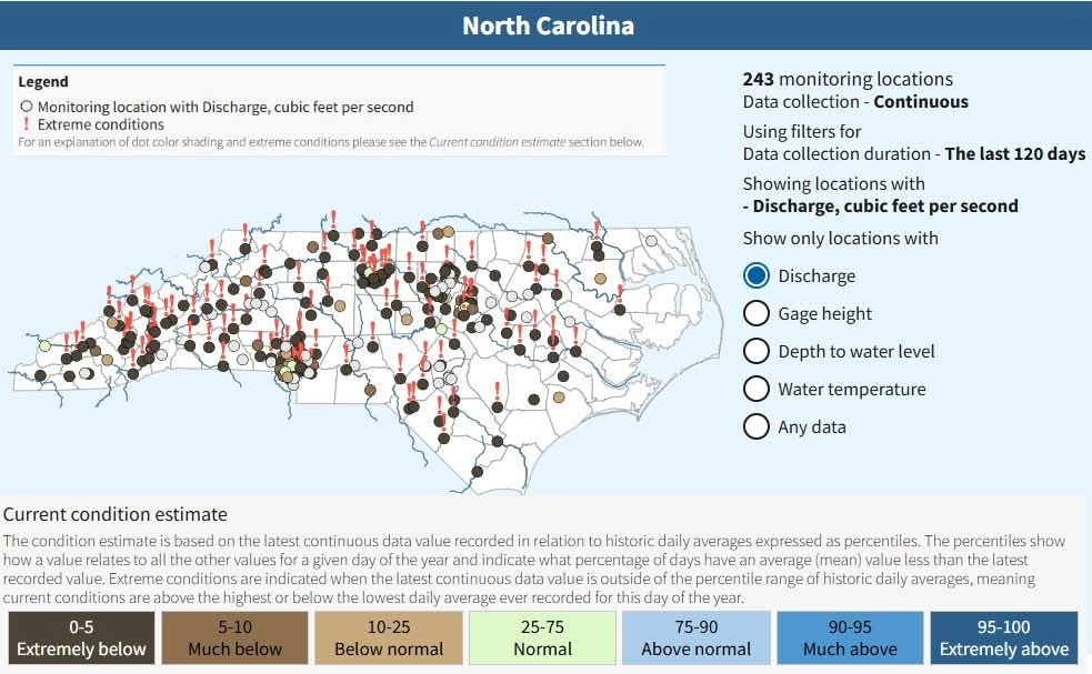
90% of the SE is in at least moderate drought for the first time since the drought monitor data began in 2000. Other years had more coverage of severe drought (2012, 2007, 2002), but the overall drought coverage is unprecedented.
-
-
-
I feel like ceiling on this event was always high, but in recent years the SPC has moved away from their old approach of staying conservative and ramping up the categories until day of. Now they try and predict what the day 1 probabilities should be two to three days out. The old method they would have gone with an enhanced yesterday and then held off on a moderate this morning knowing the CAMs were showing the threat diminished.
-


.gif.184809d46a9876f48a089c74fab005fc.gif)




.thumb.png.df086afdf9812134b5c57c403e0bdbd7.png)
.thumb.png.1ff034b5ea1e6d33de65034397d9fb82.png)
.thumb.jpg.42033e7c4392a145deaeae7149c0a426.jpg)

