HIPPYVALLEY
-
Posts
32,949 -
Joined
-
Last visited
Content Type
Profiles
Blogs
Forums
American Weather
Media Demo
Store
Gallery
Everything posted by HIPPYVALLEY
-
Then maybe follow up with a system that brings 2-3” of rain and DP’s in the 50’s? Really get that spring freshet going.
-
As far as conspiracy theories go with the Baltimore bridge, it would be much easier to compromise local onboard navigators and crew than it would be to f’k with gps or other satellite coms. My older cousin was 25 years in the merchant Marines 70’s-90’s. He said he was on big ships that only had a crew of 20 to 25 people. If you want to hack a ship just hack its crew. They’re all working for the money so they would probably be pretty easy to buy off. anyway, I think it was just a bad accident.
-
It's been raining in W Mass since last Memorial Day.
-
I was talking to one of my son's teachers today who moved here from San Diego. She said it feels like it's been raining for two years.
-
Your mouth to God’s ears I hope. I don’t even really want snow this late in the year but I can’t help fantasizing about it.
-
I was just telling my coworker that yesterday!
-
It’s just been quintessential late March in New England all day. #sheetdrizzle
-
I am so sick of rain. It’s been raining since last June,
-
Yes
-
I would imagine it must get dark as night during totality if there’s cloud cover.
-
Well, a few years ago a 60,000 fan Phish Festival in VT caused major traffic headaches. I can’t imagine if quarter of a million people pour into the state.
-
The video is crazy. That is a main travel route too. They are screwed.
-

The Congrats Dendrite Deck Destroyer 3/23-3/25 obs discussion
HIPPYVALLEY replied to Ginx snewx's topic in New England

-
The Congrats Dendrite Deck Destroyer 3/23-3/25 obs discussion
HIPPYVALLEY replied to Ginx snewx's topic in New England
-
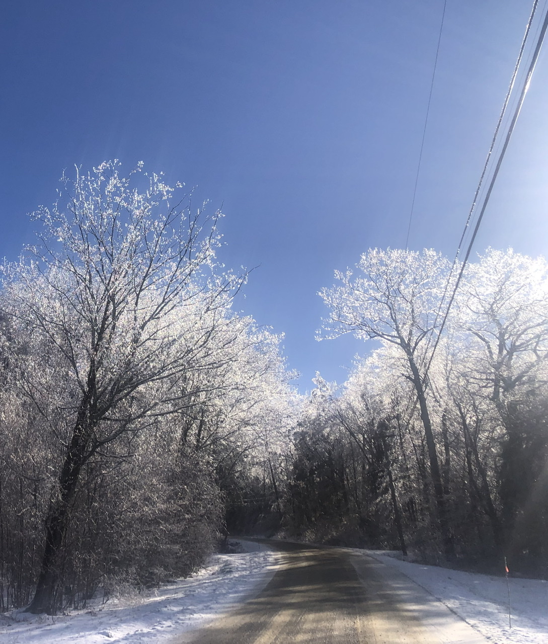
Frozen landscape this morning.

-
The Congrats Dendrite Deck Destroyer 3/23-3/25 obs discussion
HIPPYVALLEY replied to Ginx snewx's topic in New England
That's a lot of snow! -
The Congrats Dendrite Deck Destroyer 3/23-3/25 obs discussion
HIPPYVALLEY replied to Ginx snewx's topic in New England
We had over an inch of snow and sleet and it absorbed the water surprisingly well. Yard gonna be frozen and white come morning so that will at least be exciting. -
The Congrats Dendrite Deck Destroyer 3/23-3/25 obs discussion
HIPPYVALLEY replied to Ginx snewx's topic in New England
It's going to look like full on winter there tomorrow. So that's kind of fun. -
The Congrats Dendrite Deck Destroyer 3/23-3/25 obs discussion
HIPPYVALLEY replied to Ginx snewx's topic in New England
Nice. Has some weight too I bet. Good spring ski base. -
The Congrats Dendrite Deck Destroyer 3/23-3/25 obs discussion
HIPPYVALLEY replied to Ginx snewx's topic in New England
Plain rain now. Inch of crud on the driveway. -
The Congrats Dendrite Deck Destroyer 3/23-3/25 obs discussion
HIPPYVALLEY replied to Ginx snewx's topic in New England
Pelt fest. Roads are a disaster. -
The Congrats Dendrite Deck Destroyer 3/23-3/25 obs discussion
HIPPYVALLEY replied to Ginx snewx's topic in New England
1” here and sleeting. -
The Congrats Dendrite Deck Destroyer 3/23-3/25 obs discussion
HIPPYVALLEY replied to Ginx snewx's topic in New England
.25” snow and now light rain. 32/28 -
The Congrats Dendrite Deck Destroyer 3/23-3/25 obs discussion
HIPPYVALLEY replied to Ginx snewx's topic in New England
Never doubt NAM mid-level warmth surge. It’s that model’s bread and butter. -
The Congrats Dendrite Deck Destroyer 3/23-3/25 obs discussion
HIPPYVALLEY replied to Ginx snewx's topic in New England
That is not happening but if it did it wouldn’t be good.