HIPPYVALLEY
-
Posts
32,949 -
Joined
-
Last visited
Content Type
Profiles
Blogs
Forums
American Weather
Media Demo
Store
Gallery
Everything posted by HIPPYVALLEY
-
Bye-bye, fruit trees?
-
F’n cold tonight!
-
Oh good, it’s already down to 18° so that’s fun. Radiators gon’ radiate.
-
Just caught the SpaceX launch at the Christmas tree farm up the street. Pretty chilly already. Actually, 18°.
-
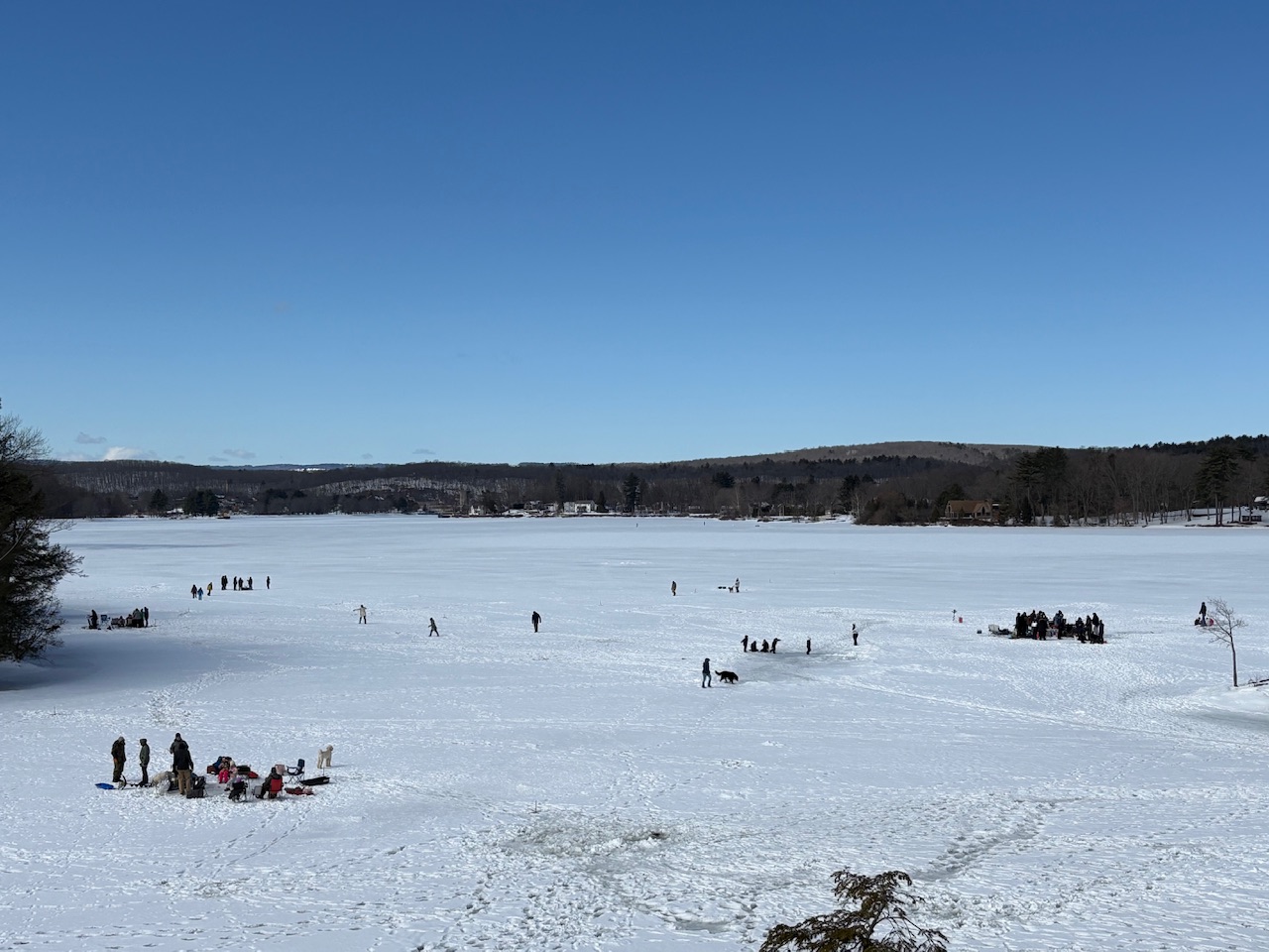
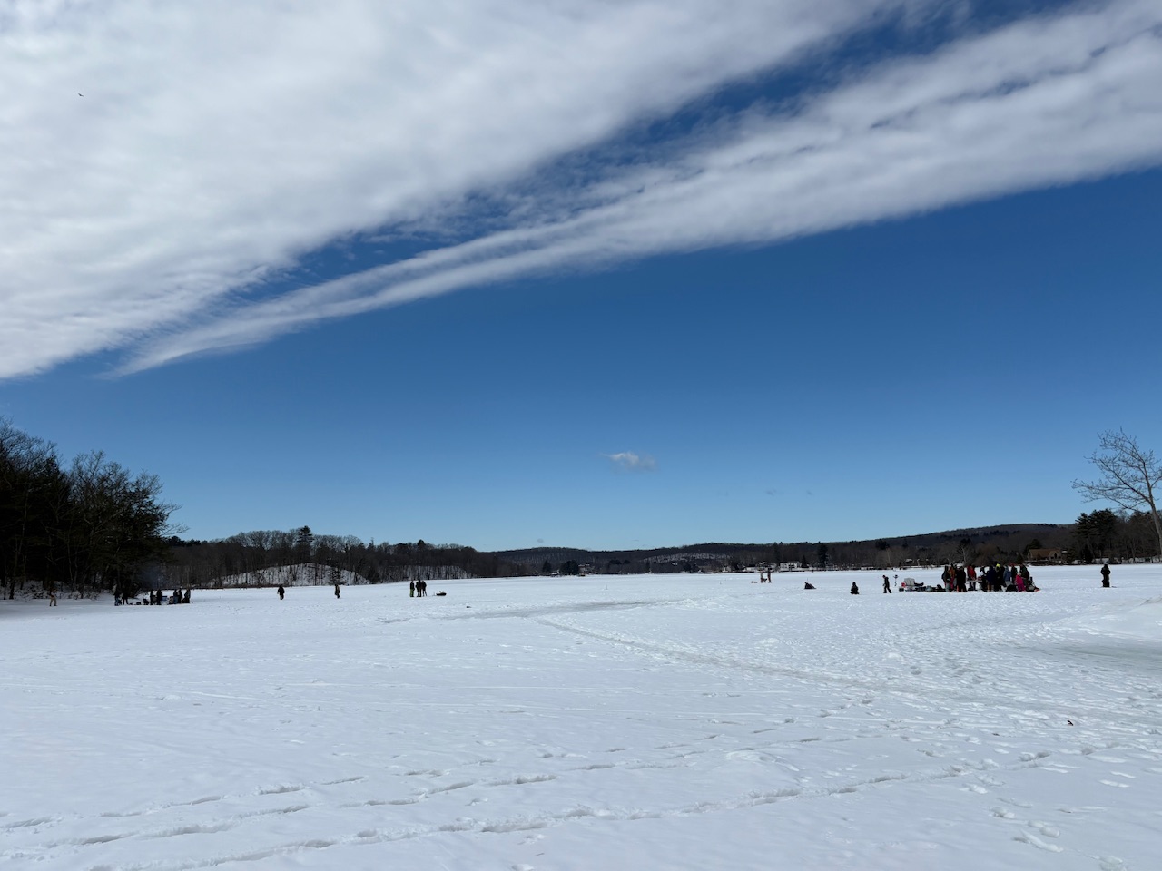
Ice fishing party out on the Connecticut River above the Turner Falls dam. There’s gotta be close to 18 inches of ice!
-
Yeah, we didn’t see a single flake here, even when the good returns were overhead.
-
Sort of weather related. With all the craziness in the Middle East and still sort of in cold weather season, I called my friend who’s an IT for our heating oil company and got him to lock me in 150 gallons at yesterday‘s price! Woot!
-
We’ve had a hard time locking anything beyond 48 hours. If it warms up, so be it. Pretty sure the interior has one more warning event coming.
-
As usual here.
-
You missed the historical snow band loser!
-
Six weeks of it?
-
There are still residential areas that are not plowed out in that area.
-
Models are pretty dry moving forward for the Northeast.
-
Stone fruit killer.
-
Solid coating from the squall to whiten things up.
-
Kind of dumping graupel right now. Weird. 26F
-
That’s actually pretty incredible,
-
Most winter weather events this year have only showed themselves in the short range.
-
I think Franklin County and Berkshire County have been on the short end of the measuring stick this year and that’s just how it goes. Probably Albany too?
-
Jeezuz, , how is everybody in SNE 15”-20” ahead of Greenfield and Brattleboro? A lot of Massachusetts is ahead of Berkshire East at this point! A good friend of mine is the marketing guy up there so I’ll ask him what their season to date total is.
-
Temperatures are going to bust here today. Greenfield is still at 30° with full overcast.
-

Clipper Fires In Wednesday Feb 25 Disco/ Obs
HIPPYVALLEY replied to Damage In Tolland's topic in New England
2.25” N side of Greenfield -
You’re a foot ahead of me. I haven’t quite had average yet. 2-2.5” today got me over 50” though.
-
Clipper Fires In Wednesday Feb 25 Disco/ Obs
HIPPYVALLEY replied to Damage In Tolland's topic in New England
What exactly did you expect from a clipper?