HIPPYVALLEY
-
Posts
32,932 -
Joined
-
Last visited
Content Type
Profiles
Blogs
Forums
American Weather
Media Demo
Store
Gallery
Everything posted by HIPPYVALLEY
-
Just pounding. Wife says close to 3 inches at home already! That’s over an inch in the past hour.
-
Possibly the best dendrites of the year!
-
If we can keep this up for an hour, I should be able to hit 3 inches which will get me to my season average or a little over. Even though this storm isn’t a big deal it’s kind of fun and definitely helping the baseline of my winter grade. Also, roads are terrible already. Lol.
-
Yeah, you’re gonna like it. Puking snow under quarter mile visibility.
-
Dumping in Greenfield right now! I just picked the kiddo up from an early dismissal and there’s at least 1.5” at the house already. +SN 26°
-
28° moderate snow in Grittyfield. .50”
-
Low of 9° this morning. Last single digits until December?
-
By cool I mean daytime high of 75°.
-
My favorite.
-
Bye-bye, fruit trees?
-
F’n cold tonight!
-
Oh good, it’s already down to 18° so that’s fun. Radiators gon’ radiate.
-
Just caught the SpaceX launch at the Christmas tree farm up the street. Pretty chilly already. Actually, 18°.
-
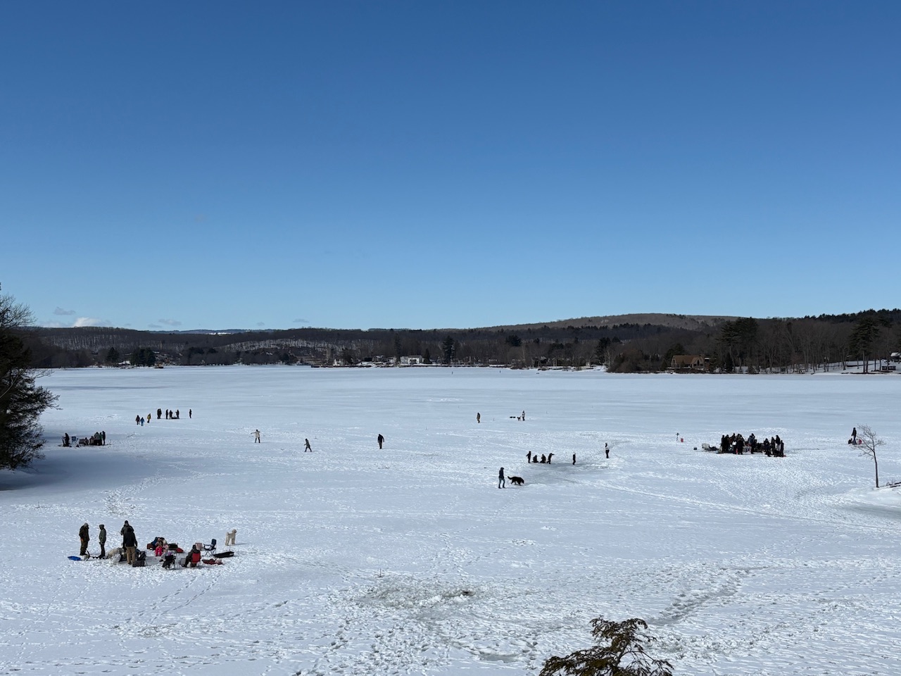
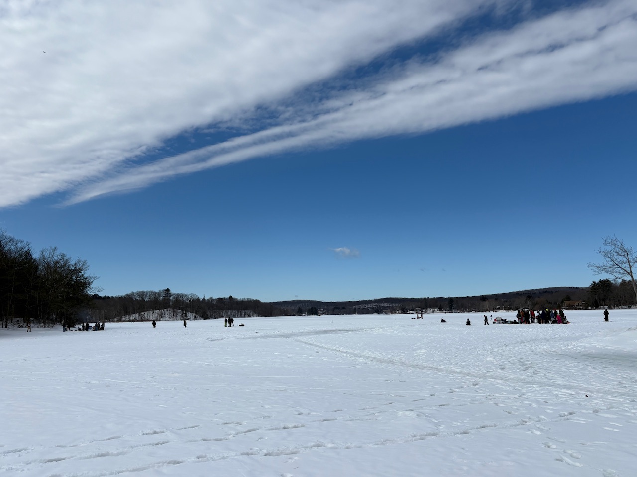
Ice fishing party out on the Connecticut River above the Turner Falls dam. There’s gotta be close to 18 inches of ice!
-
Yeah, we didn’t see a single flake here, even when the good returns were overhead.
-
Sort of weather related. With all the craziness in the Middle East and still sort of in cold weather season, I called my friend who’s an IT for our heating oil company and got him to lock me in 150 gallons at yesterday‘s price! Woot!
-
We’ve had a hard time locking anything beyond 48 hours. If it warms up, so be it. Pretty sure the interior has one more warning event coming.
-
As usual here.
-
You missed the historical snow band loser!
-
Six weeks of it?
-
There are still residential areas that are not plowed out in that area.
-
Models are pretty dry moving forward for the Northeast.
-
Stone fruit killer.
-
Solid coating from the squall to whiten things up.