Jump to content

Buddy1987

Members
  • Posts

    4,178
  • Joined

  • Last visited

Everything posted by Buddy1987

  1. What's everybody's take. You rather have a front loaded winter and take your chances on the back end or have a crappy warm pattern front end and loaded back end? For me I'd rather take front and roll the dice on back end.
  2. Great to see everyone in here still. Been awhile for me posting but the next couple days should be interesting with some of the ensembles and the first true test of the new GFS.
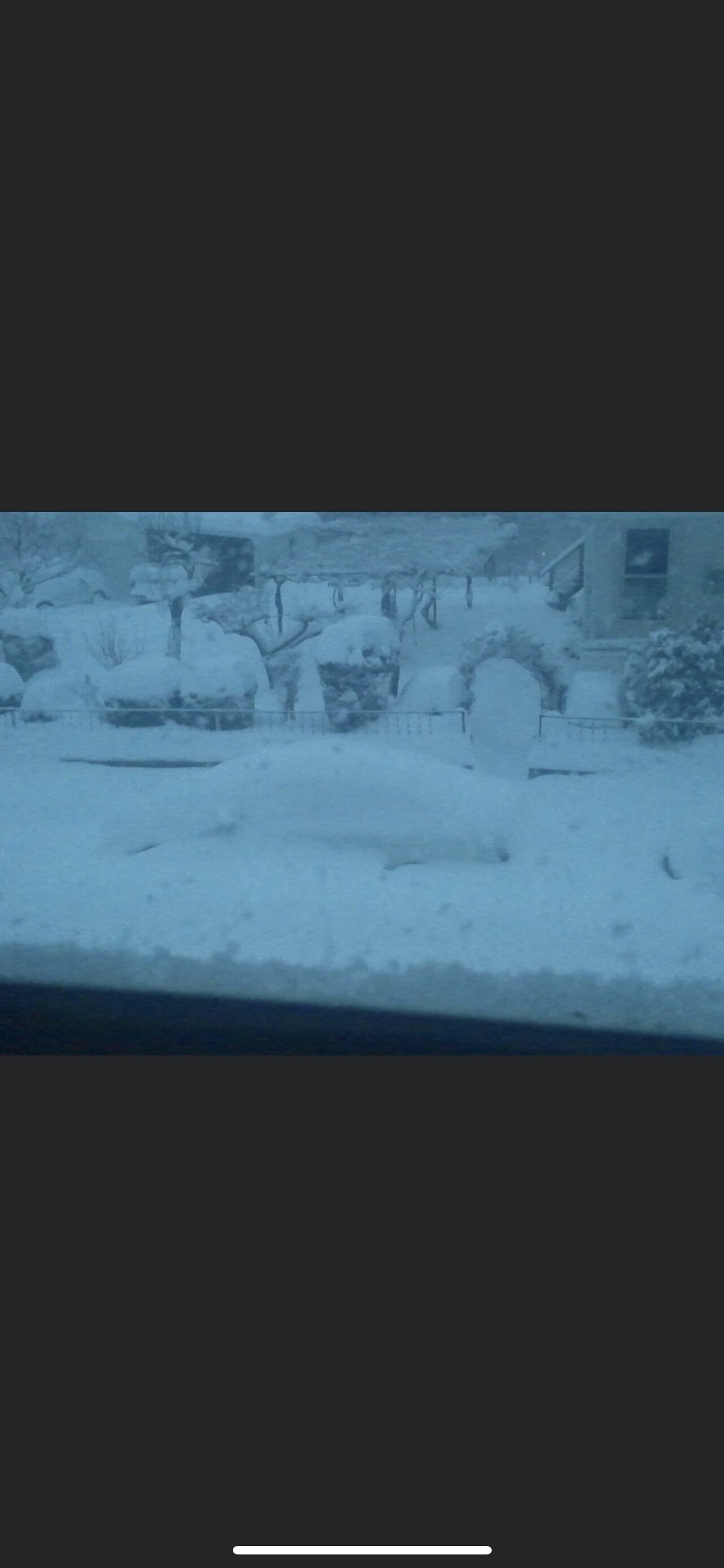
  3. Finished up with somewhere around 2-3” compacted. Currently have heavy sleet and zr mix coming down. Not bad considering I thought it would be rain by now. Temp right at 32
  4. It is just dumping snow here right now. Meatball sized flakes coming down. Impressive to say the least. To add, best part is with these bands the temp went from 39 to 33 so once evaporational cooling commenced the temp plummets. Starting to get slushy on non grassy surfaces now, including driveway.
  5. Snow picking up in intensity here in ROA. Mod-heavy dbz’s inbound from Blacksburg and points west. Hoping to overcome borderline temps here.
  6. This looks like a moderate to significant event for our area. I had issues with my email and password here the last couple weeks being able to sign in. Finally got it corrected. Anyhow, very concerned with icing issues. All going to depend on which way the main tongue of moisture points as to whether we have moderate (.25-.40) or significant (.50 or more) amounts. You have NAM and Euro in a camp and then have Icon, GFS, FV3 and CMC in another. For what it’s worth, RGEM is still pretty far out in its time frame but it is juiced the heck up.
  7. Congrats everyone who got clobbered up that way! I was consistently modeled around 6” and got about 1.5 with crust on top due to sleet primarily falling. On to the next one.
  8. My neighbor even texted me and was wondering wtf was going on. It’s been when the waves of heavier echoes had come through. Very cool although yes thunder snow would’ve been much better.
  9. Getting crazy amounts of thunder sleet down here last two hours or so in SW VA. Heard it at least 6 different times. Sounds like transformers blowing but there not lol.
  10. I am def grateful regardless. I really do think the warm layer is super shallow so anything that dumps should have it switch over to snow at least for a little. Guess we’ll see here. Have fun up that way!
  11. Ugh dreaded sleet pellets pinging off the window. Hoping since we are in a little lull rates will overcome that bs. Was dumping when the first band moved through.
  12. It is absolutely ripping fatties under this developing 30-35 dbz band. Roads and pavement are caving almost instantly.
  13. Starting to see some convective like elements now forming off to my southwest, ahead of the main shield of waa incoming. Most likely a burst of heavy snow or heavy sleet, but either way good to see the radar starting to light up here shortly once again.
  14. I will say mid afternoon still does not allow it to stick down this way. Under moderate snow, 29.5 out and it refuses to stick to sidewalks, driveways and streets. Give it a couple hours and it’ll be a different story.
  15. Coming down in sheets right now outside with that band coming through. Good sign with things to come!
  16. RadarScope is def the way to go. Worth the money for sure
  17. First flakes at the house. Very fine and small flakes at that. Can barely see the mountain over toward Blacksburg where @Disc is at. Should be picking up here shortly.
  18. 15z HRRR has some more intense banding signatures showing up at the end of the run at 18hrs in SW VA. I’m sure those will begin to form and pivot on up the forum.
  19. Radar off to my southwest looks tasty. Will let you guys know how that performs. Virga will only be so long with returns showing up like that entering western VA. I’m thinking SE flow will def help some down this way with lift and moisture transport. Good luck up that way!
  20. HP to the north is no joke funneling in these low dew points. 31/15 in Salem, VA.
  21. Nam has mixing even over the mountains and foothills of NC at 21. Heavy snow into eastern KY as well. Precip on northern side lining up nicely. system has slowed down once again as well same time frame as noted above. Still around CHS at this point.
  22. The old GFS looked like it finally had a clue and then suffered from some form of convective feedback issues at 36, whereas at 33 it had the low just south of MYR. It attempted some weird double barrel low type structure at that point. It’s attempting but right now imo is the worst model for this thing. It’s time for high res models but I figured I’d point that out anyway.
  23. Yea you’re def right Poimen. RGEM is pretty amped up with the moisture influx and the intensity. Looks like sleet to zr with only northernmost zones of NC, mountains and then up into VA would remain snow with that look.
  24. Yea 3k at 32 has the low around Wilmington. That will promote warming and thus a more “sleety” sounding usually.
  25. CMC for the win? Looks just like it. LP wise
×
×
  • Create New...