Jump to content

Buddy1987

Members
  • Posts

    4,215
  • Joined

  • Last visited

Everything posted by Buddy1987

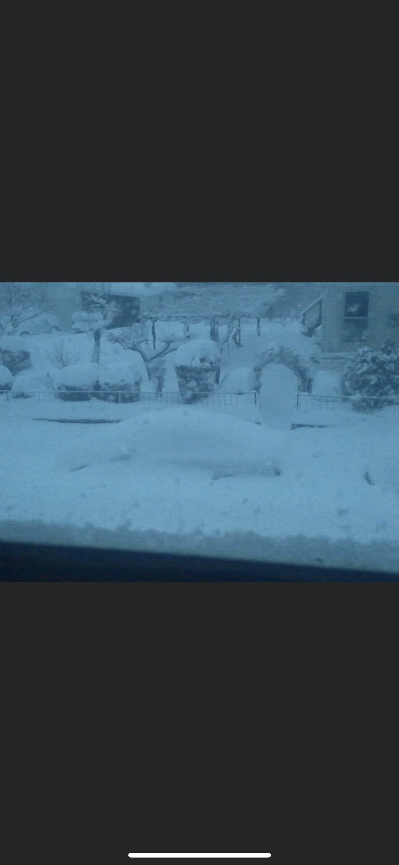
  1. It was incredible! Forecasted to get an additional 1-3/2-4 and probably got another 6-10” in that ballpark. My bar is set at 6” anything more is a bonus. Been far too long since we’ve gotten a meaningful snowstorm in these parts.
  2. Anybody have the Ukie? Seemed pretty consistent last several runs.
  3. @Discif I remember correctly that 2014 snowstorm where we got a solid 20'' or so, that ULL swung through on the back and using the word outperformed was an understatement. I'm hoping that it helps us in this regard here too. Either that or the front end thump produces 1-2'' per hour rates for 4-6 hours and we do a lot of damage on the front end before any PL becomes an issue.
  4. The ULL really concerns me. If we can get it underneath us somehow (which it's close) that will help for sure. But the problem is it pushes all the WAA up over us and would most likely flood the mid levels with too much warmth. So far the models are not wanting anything to do with mixing out here. 700 looked good for the snow growth dendrite area and 850s were fine. Hell you can correct me if im wrong but im not sure I saw it get above -3/-4 celsius and then as the ULL swings through it plummets down to -8/-10/-11 Side note was just looking at GFS. Weird to see thermals colder than Canadian. Usually its the opposite. Canadian one of the most amped.
  5. 0Z Canadian looks better on surface map. Low more east if CNC is looking for wintry precip.
  6. That is some seriously HEAVY snow in WNC at 66 on the Canadian.
  7. I'd venture to say he's got something good picked out to drink too HAHA
  8. @clskinsfanhow you feeling up that way man?
  9. Yea pulling tiny hairs may be just a couple hours slower but same trajectory with that ULL.
  10. HP looks to be pushing down on the storm a little bit more through 48 so far.
  11. Def something all of us want to see as the HP will keep the cad locked in longer before sliding off to the east and will be in a better spot before precip arrives. Good obs
  12. PSU from mid Atlantic thread was saying that it was almost identical to last run. Low goes right over DC so I would highly doubt it made a 250 mile shift lol Kuchera looks very similar to last run. May have even bumped up snow totals in the blue ridge by a couple inches
  13. Man you should see some of the weenies in the mid Atlantic thread defending the 84 hr Nam it’s unreal. I post them here just because it’s something to do before the main course of GFS but even I can say I’m a realist when it comes to overall expectations
  14. @Disc what kind of timeframe are you seeing for snow to start. Late Sunday morning?
  15. Can prolly add the Ukie in there as well from what I’ve seen Burrel and others post
  16. WNC smoked that run as we get out to 78. Still not done up this way just yet.
  17. 66 hrs just a smidge better. Heights imo aren't as pumped up this run which will help.
  18. Alrighty GFS at 42 a little better at 500. Tick east of where it was. Don't know how much of a factor that will play come east coast setup time however.
  19. Yea that was one of my fears a day or two ago I had mentioned where the high pressure was modeled too strong. It's not just that tho the low isn't helping flooding in boiling water into the mid levels either.
  20. You got to remember the energy diving down out of Montana is not the only player. There's multiple pieces to this puzzle. How quickly the high pressure exits stage right. How much does the energy on the back side of the storm dig, causing the storm to turn north and then potentially northwest. How much do heights rise ahead of the storm vs how well does the confluence help us. And finally the damn pesky decaying ULL how far does that travel up the spine of the apps. That specific piece looked to behave for the last couple of runs and now we are 2/2 at 18z with it hanging in there for too long. If that ends up rearing its ugly head the mid levels are going to be flooded with some significant warmth. All of this is a giant jigsaw puzzle.
  21. Man 2/2 in dumpster fire runs for two models at 18z. If there's one iota of positivity its the NAM and ICON so there's that...
  22. Based on 57 at 500 on ICON dont see really anything positive lol. Energy more northwest, confluence not as sharp and energy diving from up top out of Montana border region is a tick more south this run, which will in turn cause the system to turn north too quickly. We'll see how it plays out but as of right now I dont have the warm and fuzzies.
  23. ICON at 33 has the shortwave energy a bit stronger in the Plains and the confluence not looking as good as 12z. I really hope this isnt a trend this evening with all the models becoming more amped as this thing gets sampled really well.
  24. 18z 12K NAM 18Z 3K NAM 500 is still behind on 3K but purely looking at the surface it looks better in this exact shot.
×
×
  • Create New...