wxdude64
-
Posts
7,613 -
Joined
-
Last visited
Content Type
Profiles
Blogs
Forums
American Weather
Media Demo
Store
Gallery
Everything posted by wxdude64
-
I'd gladly take another Feb 2014
-
But even in VA as a kid I remember getting on the bus as it was snowing, roads covered and heading to school. Heck, as we got older (13/14) I remember several of us once or twice helping the driver put on chains. In '78 we went to school under a blizzard watch or warning, yes, we did get out of school early, but we WENT and got 1/2 day in.
-
Hey! I made it back over 20! Currently 20.2/7.9 at 11 am with a NW wind 9 gusting to 15, making WC 9 to 6 degrees. Skies have cleared to partly cloudy, and flurries have stopped for last hour or so.
-
That will help to bring on the others, usually.
-
Although IMBY is just slightly off screen in that shot, I see what looks like 6+ lollies close by. My heart says yes, my mind says to temper that lol.
-
I rarely wear a jacket/coat, but when I do, it is because the wind is howling. I'll take a -5 in calm winds over 25 and 25 mph winds any day.
-
Shows the Stevens City desert zone well...@EastCoast
-
Warmer at this same time this morning (16.5) than yesterday (13.4). I thought we would be colder, but whatever, still chilly. 4.5 inches still on the ground of hard concrete. Yesterday's high was 25.6, flurries on and off basically all day and night, but never accumulated.
-
Not sure about heavy, but does show snow in 51 and 54 frames on 3k
-
Low was 11.8 around 4 am here. Temps have gone up a bit since then, likely combo of clouds returning and W winds increasing. Currently 13.4/6.5 at 7:30 am.
-
Answer my own question, Dec of '22 they got 0.1. You have to go back to 2018 for an actual snow.
-
When was the last time ATL got anything?
-
They've named a storm that has barely formed yet??
-
*would be 100% for Jan 1987 as a repeat for 2025*
-
Something to make it snow around here?
-
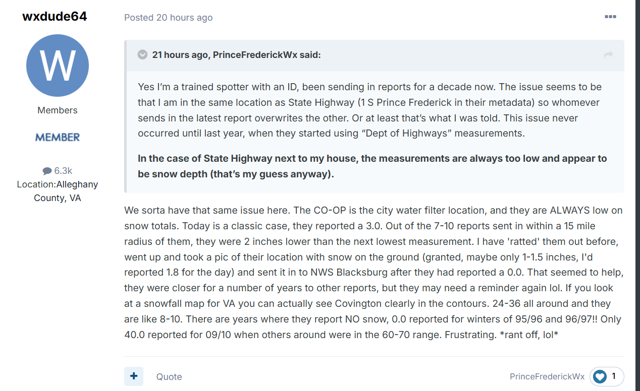
Moving this here- Amazing what a little prodding will do, they 'sorta' changed from 3.0 to 5.7 as of today. that is a lot closer to what others in the area reported.

-
Come on down!
-
Into the teens at 8 pm, currently 18.4/10.5 at 8:20 pm. DP is dropping pretty fast.
-
ALWAYS looking for the next one!
-
@Bob Chill jackpot!
-
High was 26.1, now down to 22.9/14.0 at 4:50 pm. Will be nowhere near a record cold max (thanks 2014) of 15.2.
-
Roanoke about to be ingested by the 'claw' or jaws, your choice, and aimed at DC. Amazing how 90% of model snow maps manage to have a similar image.
-
Perfect
-
Currently 25.8/15.1 at 2:45 and is the high so far. Started at 18.0 this morning. In and out of clouds, saw a few flurries between 10 and 11 am.
-
LOL, looks like NWS Blacksburg's radar beam going just to my east in a storm.