

marsman
-
Posts
722 -
Joined
-
Last visited
Content Type
Profiles
Blogs
Forums
American Weather
Media Demo
Store
Gallery
Everything posted by marsman
-
Nearly hit 60 with 59.2 at 3:35pm.
-
56.4 at 4:02pm. Was in shorts working outside and all was good.
-
Low of 19.3 at 7:20am, High of 50.6 at 3pm.
-
Low of 13.2 at 2:40am, high of 37.3 at 3:30pm
-
...yeah - I'm headed to DC. This is definitely locked in.
-
I'm traveling for work and will be out of town on Feb 3rd. Locked in.
-
-
Still coming down and blowing in eastern Carteret and OBX. On the security camera it looks like a 1' snow drift on my north-facing back porch there.
-
FYI NWS Morehead City radar:
-
Wake Co. schools that were in today are getting out an hour early.... which is if not now, very soon. Very short day too - they had a two-hour delayed start. I'm betting they're closed tomorrow and at least another 2 hour delay on Thursday.
-
Low of 17.2 at 4:30am, High of 52 at 3:30pm.
-
Possibly trees falling over from the snow/ice, especially where the ground was cut/eroded from Helene. Mountain terrain and mixed precip can make sound do interesting things.
-

1/10-11 super awesome winter SE OBS thread
marsman replied to strongwxnc's topic in Southeastern States
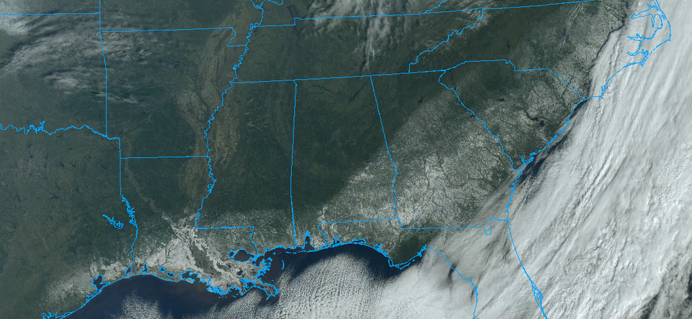
Cloud line goes all the way to the Pacific: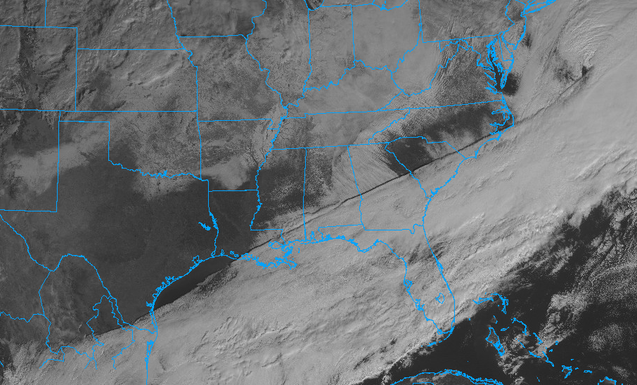
-
1/10-11 super awesome winter SE OBS thread
marsman replied to strongwxnc's topic in Southeastern States
.5" snow/sleet before the freezing rain pushed it down. Clouds clearing, temp at 31.2 and climbing. -
1/10-11 super awesome winter SE OBS thread
marsman replied to strongwxnc's topic in Southeastern States
Light freezing drizzle here. Icicles showing up. Smaller shrubs/bushes bowing down. -
1/10-11 super awesome winter SE OBS thread
marsman replied to strongwxnc's topic in Southeastern States
Down to 31.8 / dew at 23. Dusting of snow/sleet mix. -
1/10-11 super awesome winter SE OBS thread
marsman replied to strongwxnc's topic in Southeastern States
Wow:
-
1/10-11 super awesome winter SE OBS thread
marsman replied to strongwxnc's topic in Southeastern States
36.1 air temp - ground temps anywhere from 31 (north shaded areas with small ice/frost heaves) to 37 (south facing). Dew at 17. edit: sun is poking through! -
1/10-11 super awesome winter SE OBS thread
marsman replied to strongwxnc's topic in Southeastern States
I know the Harris power plant often gives off a radar signature but radar shows there might be some lake effect snow coming off Lake Jordan. -
There's some in the Obs thread:
-
RELEASE THE BALOONS
-
Cold ground for sure - air temps here in Cary right now are at 38-39 - ice is still on the roads and ground in the shaded areas and not melting (maybe sublimating though).
-
.62" from this event.
-
Moderate sleet now. Deck is icy/slippery, temp down to 39 from 46 at 1pm.
-
Sleet SW Cary!


