

marsman
-
Posts
694 -
Joined
-
Last visited
Content Type
Profiles
Blogs
Forums
American Weather
Media Demo
Store
Gallery
Everything posted by marsman
-
Low of 50 at 7:32am, high of 77 at 3:38pm.
-
.11" overnight, "storm" total of .42".
-
High of 88 at 4:55pm. No rain so far in the past two days. Last measurable rain was on 9/11, .45". .69" for the month.
-
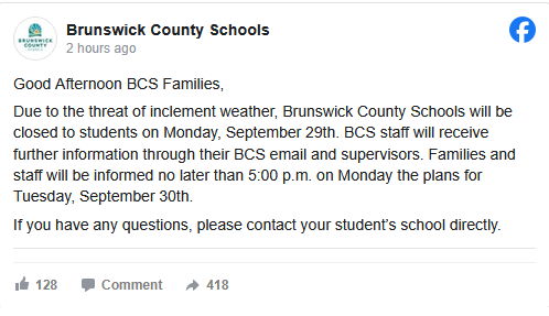
Schools closed Monday in Brunswick County NC (most southern county)
-
Brunswick County NC schools closed Monday.

-
95 at 3:10. Go away, I can't have Oktoberfest with this weather! Eyeing that possible low of ~49 next week.
-
93 yesterday at 4:10pm.
-
Pushes it south after this if I’m looking at the right one. We could use the rain, but please not another Florence.
-
High of 91 at 1:45pm.
-
Impressive 94 at 4pm. Definitely a late summer 94, humidity was 34%.
-
.45" overnight. Impressive, since next to none was forecast. We hit 75F yesterday at 3:10pm.
-
Low of 55 at 6:45am, high of 87 at 4:45pm. I was able to keep the A/C off today, but it'll be on tomorrow. Leaves are coming off the trees, I'm sure the lack of precip is accelerating their demise.
-
62 for a low this morning at 8:27.
-
Low of 59 at 6:22. High of 84 at 4:14pm.
-
Hit 93 at 2:30pm.
-
I lost my no 90's streak. 91 at 3:55pm yesterday, will probably see it again today. Currently 88 at 1:35pm. edit: 91 today at 2:22pm.
-
High of 90F at 3:57pm. May not see another 90+ for some time and no complaints here.
-
There's this Dunkin Donuts on Western Blvd by NCSU that has a "pond" in it's drive thru after rain. I can affirm it was there this morning. I could swear the thing is nearly 1' deep sometimes.
-
1.88" overnight, most of which came down in under 30 minutes.
-
.82" yesterday and .47" today. Dew currently at 79. High of an awful 88.1 at 6:30pm.
-
Old Davis still ticking. 1.41" yesterday, high of 89.9. 7.65" for the month, passing July's total of 7.24".
-
High of 82.8 at 4:10pm. 5.22" over the whole event. 6.20" for the month so far. Can't believe the flooding at Bond Park! Separately, this may be the last transmission from my OG Davis Vantage Vue. I'm tired of replacing the battery (also $$$) as I've fallen victim to the capacitor issue. Also developed comms issues with the station. 2008-2025, RIP. Looking forward to the new touch screen model scheduled to arrive next week.
-
4.19" so far. High of 70.0 at 5:50am. Been just below that the whole day.
-
Low of 63.5 at 2:50am this morning, yesterday's low was 61.8 at 4:50am. Sun coming up above the treeline and time to but the A/C back on.


