

marsman
-
Posts
722 -
Joined
-
Last visited
Content Type
Profiles
Blogs
Forums
American Weather
Media Demo
Store
Gallery
Everything posted by marsman
-
1.4" from the 3/16-17 event. Low of 39.9 at 7:40 this morning, high of 71.9 at 5:50pm. Pollen seemed pretty low but IT IS COMING.
-
Watch extended to VA state line:
-
-
Highest low of the year - 65.2 at 2:40am. Haven't seen that since 11/7/24. Currently 67.7 at 9:05, dew at 64.
-
Delayed due to work... Hit 83.1 at 3:40pm on Wednesday the 12th, first 80+ of 2025 Today only 62.5 at 4:20pm, lower than expected.
-
40.9 at 5:40am, 71.7 at 12:30pm. Great day for spring work outdoors.
-
1.19" from the event. High of 66.3 at 4:50pm.
-
Low of 28.6 at 7am and high of 66.3 at 4:20pm.
-
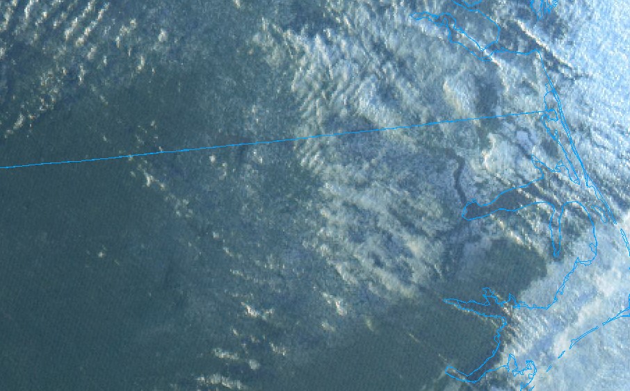
Visible satellite before sundown juuuust shows the snow on the ground:
-
WWA till 10am tomorrow.
-
Still coming down but sun peeking through, melting going on even in elevated, shaded areas. 27F.
-
Here's to us, RDU area:

-
2.5" total, low of 22 at 5:20am.
-
Hit 2".
-
Jesus I've heard the term fatties but these are apple bottom jeans fatties.
-
At 1". Roads getting covered now, sleet mixing in.
-
Just came from RDU 15 mins ago, where there was more salt than snow on the ground. In downtown Cary now, coming down nice with a dusting. Interesting gradient one exit apart.
-
71.1 yesterday at 3:10pm. .42" of rain overnight.
-
73.1 at 3:59pm. I am that shorts guy today.
-
I know there was a WRAL piece on why RDU is sometimes warmer, but I still wonder if the runway construction has at least a minor impact. Since the new runway is going to go right where the station is, anyone know where it's going to be moved? Looking at a recent sat photo (Feb 1) is it still in it's original location?

-
77.2 at 3:38pm
-
.59" rain including yesterday and early this morning.
-
High: 74.3 on Jan 31 Low: 13.2 on Jan 23 Rain: 1.25", .33" of that was on Jan 31
-
High of 74.3 at 2:37pm. .11" from this rain event so far, rain hole has formed. Another line may come through in a couple hours.
-
Felt like we hit 70 - station says 68.8 at 2:24pm. Close enough.


