Upstate Tiger
-
Posts
986 -
Joined
-
Last visited
Content Type
Profiles
Blogs
Forums
American Weather
Media Demo
Store
Gallery
Everything posted by Upstate Tiger
-

The “I bring the mojo” Jan 30-Feb 1 potential winter storm
Upstate Tiger replied to lilj4425's topic in Southeastern States
GSP AFD...they are indicating I-85 from GSP to Charlotte to be a potential jackpot zone with all of the western Carolinas and NE GA getting some stout totals. https://forecast.weather.gov/product.php?site=NWS&issuedby=GSP&product=AFD&format=ci&version=1&glossary=1&highlight=off -
The “I bring the mojo” Jan 30-Feb 1 potential winter storm
Upstate Tiger replied to lilj4425's topic in Southeastern States
Charlotte to the coast big winners on that run. SC also gets a lot of qpf. -
The “I bring the mojo” Jan 30-Feb 1 potential winter storm
Upstate Tiger replied to lilj4425's topic in Southeastern States
It did OK with the overall setup last weekend but totally missed the front end snow and sleet IMBY. -
The “I bring the mojo” Jan 30-Feb 1 potential winter storm
Upstate Tiger replied to lilj4425's topic in Southeastern States
-
The “I bring the mojo” Jan 30-Feb 1 potential winter storm
Upstate Tiger replied to lilj4425's topic in Southeastern States
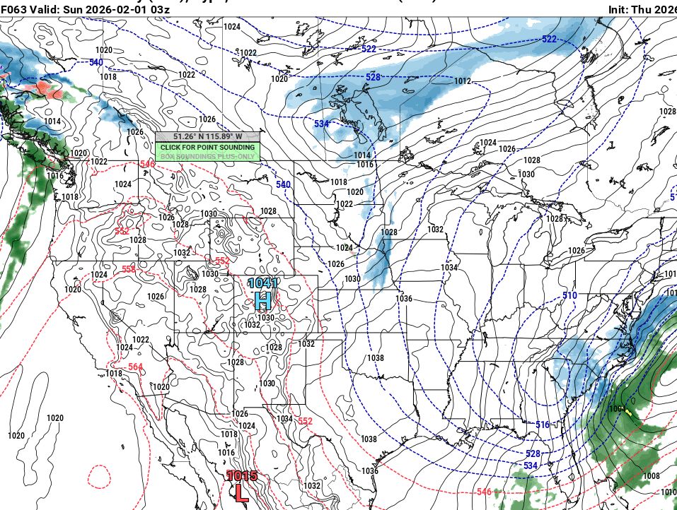
Man the Euro really shows the upstate and NE Ga as a potential jackpot zone along with the immediate coast. This storm has so many dynamics in play that it’s going to be tough to nail down details. That stupid Bahama low really screwed things up IMO or we’d have a traditional Miller A. When have you ever seen a low pressure system over the Bahamas in January? -
The “I bring the mojo” Jan 30-Feb 1 potential winter storm
Upstate Tiger replied to lilj4425's topic in Southeastern States
GFS pretty much holds steady. Another wild card is how anomalous this ULL will be. It will overproduce IMO. -
The “I bring the mojo” Jan 30-Feb 1 potential winter storm
Upstate Tiger replied to lilj4425's topic in Southeastern States
Where do I sign? -
The “I bring the mojo” Jan 30-Feb 1 potential winter storm
Upstate Tiger replied to lilj4425's topic in Southeastern States
GSP AFD... https://forecast.weather.gov/product.php?site=NWS&issuedby=GSP&product=AFD&format=ci&version=1&glossary=1&highlight=off -
The “I bring the mojo” Jan 30-Feb 1 potential winter storm
Upstate Tiger replied to lilj4425's topic in Southeastern States
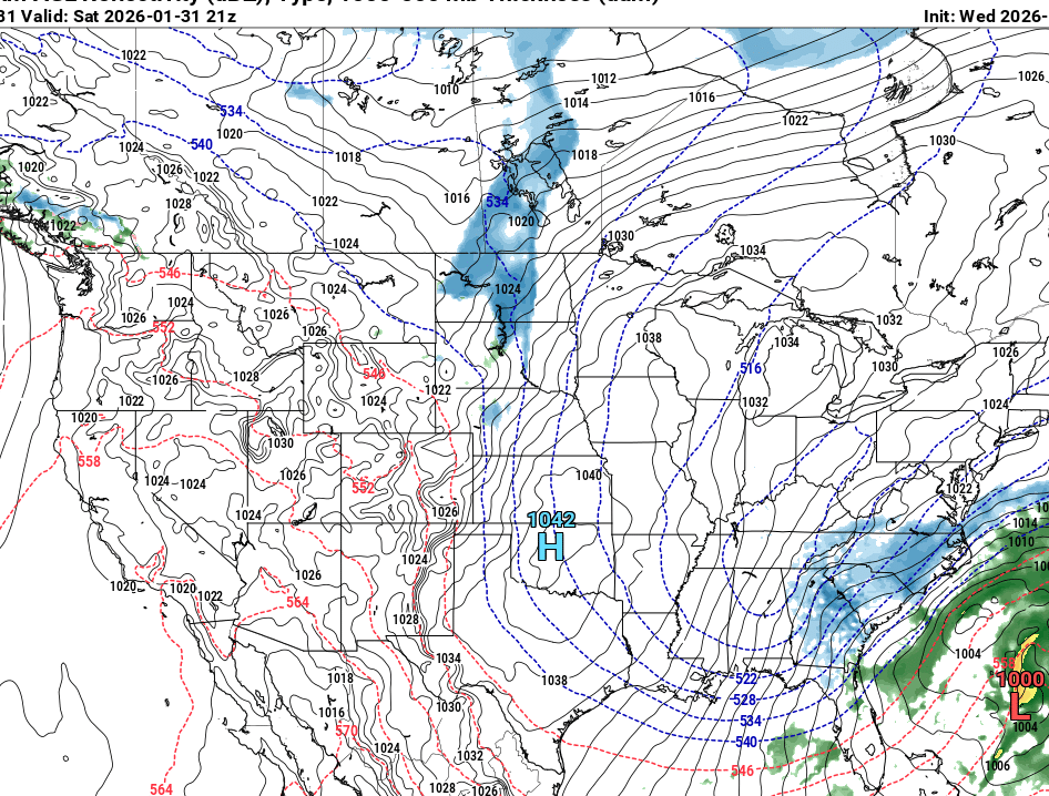
CMC, GFS, and NAM all with basically the same evoluation. CMC is best for western members. -
The “I bring the mojo” Jan 30-Feb 1 potential winter storm
Upstate Tiger replied to lilj4425's topic in Southeastern States
Thanks! I had not seen that. Good grief...now we have to worry about a Low in the Bahamas. If there is a way to screw the SE, no matter how crazy, it seems to happen. -
The “I bring the mojo” Jan 30-Feb 1 potential winter storm
Upstate Tiger replied to lilj4425's topic in Southeastern States
I wish one of the mets would explain that Low in the bahamas. GFS has that feature as well. Just shown up in the last day. We are not seeing the earlier phasing or negative tilt we saw at 18z. Probably all noise at this point any way... -
The “I bring the mojo” Jan 30-Feb 1 potential winter storm
Upstate Tiger replied to lilj4425's topic in Southeastern States

-
The “I bring the mojo” Jan 30-Feb 1 potential winter storm
Upstate Tiger replied to lilj4425's topic in Southeastern States
-
The “I bring the mojo” Jan 30-Feb 1 potential winter storm
Upstate Tiger replied to lilj4425's topic in Southeastern States
-
The “I bring the mojo” Jan 30-Feb 1 potential winter storm
Upstate Tiger replied to lilj4425's topic in Southeastern States
Key take away from GSP, “expect model shenanigans to continue”. -
The “I bring the mojo” Jan 30-Feb 1 potential winter storm
Upstate Tiger replied to lilj4425's topic in Southeastern States
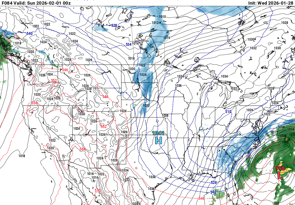
Euro with a 968 bomb off the coast. Man that thing explodes. -
The “I bring the mojo” Jan 30-Feb 1 potential winter storm
Upstate Tiger replied to lilj4425's topic in Southeastern States
Good grief the GFS has a 966 bomb off the coast. -
The “I bring the mojo” Jan 30-Feb 1 potential winter storm
Upstate Tiger replied to lilj4425's topic in Southeastern States
-
The “I bring the mojo” Jan 30-Feb 1 potential winter storm
Upstate Tiger replied to lilj4425's topic in Southeastern States
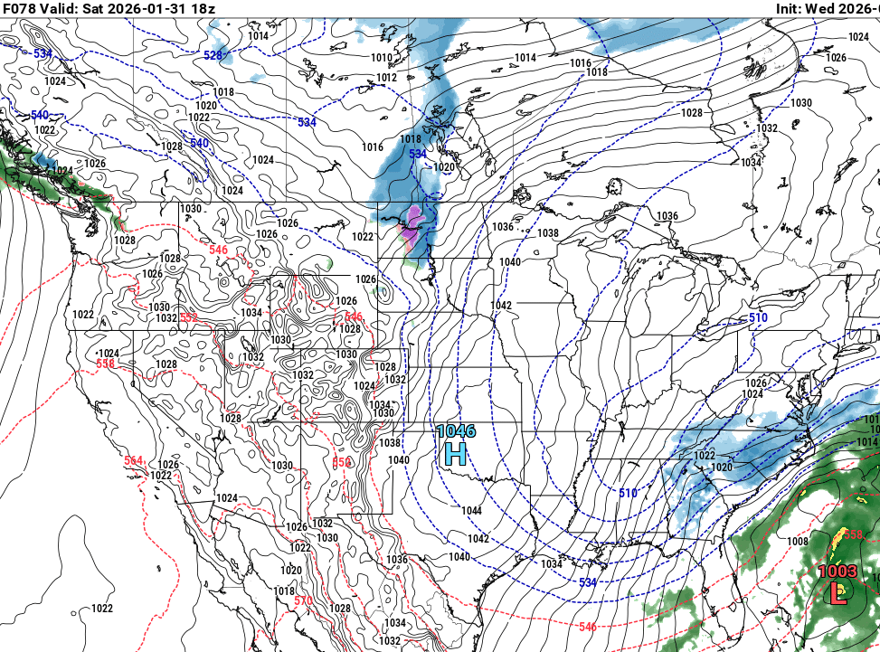
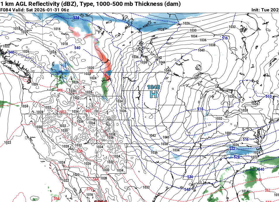
NAM with light snow over Mississippi and NC at 60. I know NAM but hey it did pretty well last week. -
The “I bring the mojo” Jan 30-Feb 1 potential winter storm
Upstate Tiger replied to lilj4425's topic in Southeastern States
Pretty concise discussion from GSP... https://forecast.weather.gov/product.php?site=NWS&issuedby=GSP&product=AFD&format=ci&version=1&glossary=1&highlight=off -
The “I bring the mojo” Jan 30-Feb 1 potential winter storm
Upstate Tiger replied to lilj4425's topic in Southeastern States
Not a bad look on the Euro IMO. I’m ok with the evolution of the surface features on the 12z. -
The “I bring the mojo” Jan 30-Feb 1 potential winter storm
Upstate Tiger replied to lilj4425's topic in Southeastern States
Love seeing the transfer off the coast at the Ga Fl line. Always a great benchmark for a Miller A snowstorm in the Carolinas. If only it verifies. -
The “I bring the mojo” Jan 30-Feb 1 potential winter storm
Upstate Tiger replied to lilj4425's topic in Southeastern States
Let's hope that trend comes to fruition this time as well... -
The “I bring the mojo” Jan 30-Feb 1 potential winter storm
Upstate Tiger replied to lilj4425's topic in Southeastern States
He nailed last week's storm... -
The “I bring the mojo” Jan 30-Feb 1 potential winter storm
Upstate Tiger replied to lilj4425's topic in Southeastern States
So we like Bam again? Just want to make sure I am not hating the wrong people...