

Met1985
-
Posts
16,564 -
Joined
-
Last visited
Content Type
Profiles
Blogs
Forums
American Weather
Media Demo
Store
Gallery
Everything posted by Met1985
-
Looking like we get some backdoor fronts though. Not so sure we do.
-
Another beautiful morning with a current temp of 45 degrees. Should be a beautiful day on tap.
-
Had a high of 69 today with a corrected low of 45. Thought it got down to 44 but I didn't. Current temp is 57 and dropping. The next 10 days look fantastic.
-
Had a beautiful low of 44 degrees this morning. Just an absolutely beautiful morning.
-
Had a high today of 68 with a low of 54 this morning but temps are absolutely dropping like a rock this evening. Current temp already down to 54.
-
An absolute beautiful day at the Mountain State Fair. Sent from my SM-G998U using Tapatalk


-
Cloudy with a low of 54 Going to be a beautiful day.
-
This morning was one of the warmest mornings we've had in weeks. A low of 61 with heavy rainfall and Thunder this morning. Looks like we will have a break before more rainfall comes in this afternoon.
-
Had a low of 54 and a high of 78. Current temp is 70. Saw a high reading today in Asheville of 88 degrees. Crazy how elevation works around here with Temperatures. One more warmish day then back to being very October like.
-
Yeah im dating a young lady up there and I've spent a lot of time up there recently.
-
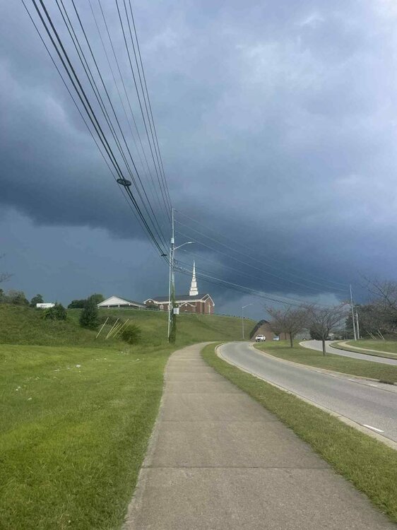
Looks to be an active evening. Haywood NC-Swain NC- 407 PM EDT Thu Sep 4 2025 ...A STRONG THUNDERSTORM WILL IMPACT NORTHEASTERN SWAIN AND NORTHWESTERN HAYWOOD COUNTIES THROUGH 445 PM EDT... At 406 PM EDT, Doppler radar was tracking a strong thunderstorm 12 miles east of Gatlinburg, or 10 miles southwest of Big Creek in the Smoky Mountains, moving east at 30 mph. HAZARD...Wind gusts up to 40 mph and nickel size hail.
-
That severe line that moved through Johnson City. Sent from my SM-G998U using Tapatalk
-
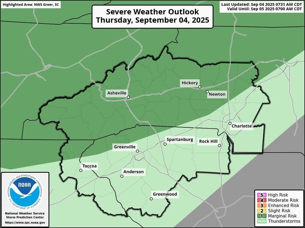
Some strong storms possible this afternoon. Sent from my SM-G998U using Tapatalk
-
Big cold front coming in this weekend.
-
Had a low of 56 with guess what more rain this morning.
-
@buckeyefan1or @Mr Bob will you pin this thread and unpin our summer thread? Thank you in advance.
-

2025 Spring/Summer Mountain Thread
Met1985 replied to Maggie Valley Steve's topic in Southeastern States
Had a low of 56 with guess what more rain this morning. -
2025 Spring/Summer Mountain Thread
Met1985 replied to Maggie Valley Steve's topic in Southeastern States
Another beautiful Fall day. Had a low of 54 with a high of 69 and a current temp of 63 with some rainfall this morning. -
2025 Spring/Summer Mountain Thread
Met1985 replied to Maggie Valley Steve's topic in Southeastern States
An absolutely beautiful morning with a low of 48 degrees. -
2025 Spring/Summer Mountain Thread
Met1985 replied to Maggie Valley Steve's topic in Southeastern States
Had a high today of 69 and a current temp of 63. Gonna be a spectacular week of weather this week. -
2025 Spring/Summer Mountain Thread
Met1985 replied to Maggie Valley Steve's topic in Southeastern States
A bit colder this morning with a low of 47 degrees. -
2025 Spring/Summer Mountain Thread
Met1985 replied to Maggie Valley Steve's topic in Southeastern States
Had a temp of 50 when I left home this morning. -
2025 Spring/Summer Mountain Thread
Met1985 replied to Maggie Valley Steve's topic in Southeastern States
Just got home from work. Had a beautiful high of just 70 degrees with a current temp of 58. Have some clouds so not sure how quickly we fall tonight. -
2025 Spring/Summer Mountain Thread
Met1985 replied to Maggie Valley Steve's topic in Southeastern States
What a stunning morning. Current temp is at a cold 45 degrees in August! Also Mt. Mitchell is in the 30s. -
2025 Spring/Summer Mountain Thread
Met1985 replied to Maggie Valley Steve's topic in Southeastern States
Had a high of 72 with a current temp already at 59 degrees. Going to be a COLD August night.


