

Met1985
-
Posts
16,909 -
Joined
-
Last visited
Content Type
Profiles
Blogs
Forums
American Weather
Media Demo
Store
Gallery
Everything posted by Met1985
-
This current pattern isn't ideal so a reshuffle is a good thing. We've just had a nice cold period so obviously the pattern is going to relax some.
-
I'm saying this season all the models have struggled mightily. All the models have been having a hard time this season. Sure we will see a reshuffle and that will be a good thing I think.
-
We've seen pattern changes happen abruptly and to say that nothing looks muted is inconsistent with what the models have been going towards the past 24 hours.
-
The EPS has been just as inconsistent as the gfs has been.
-
You're posting a plus 300 hour map bro.
-
We continue to see this upcoming torch muted. Honestly yall shouldn't be surprised. This has basically happened all season.
-
Yep great stuff Larry. Thank you.
-
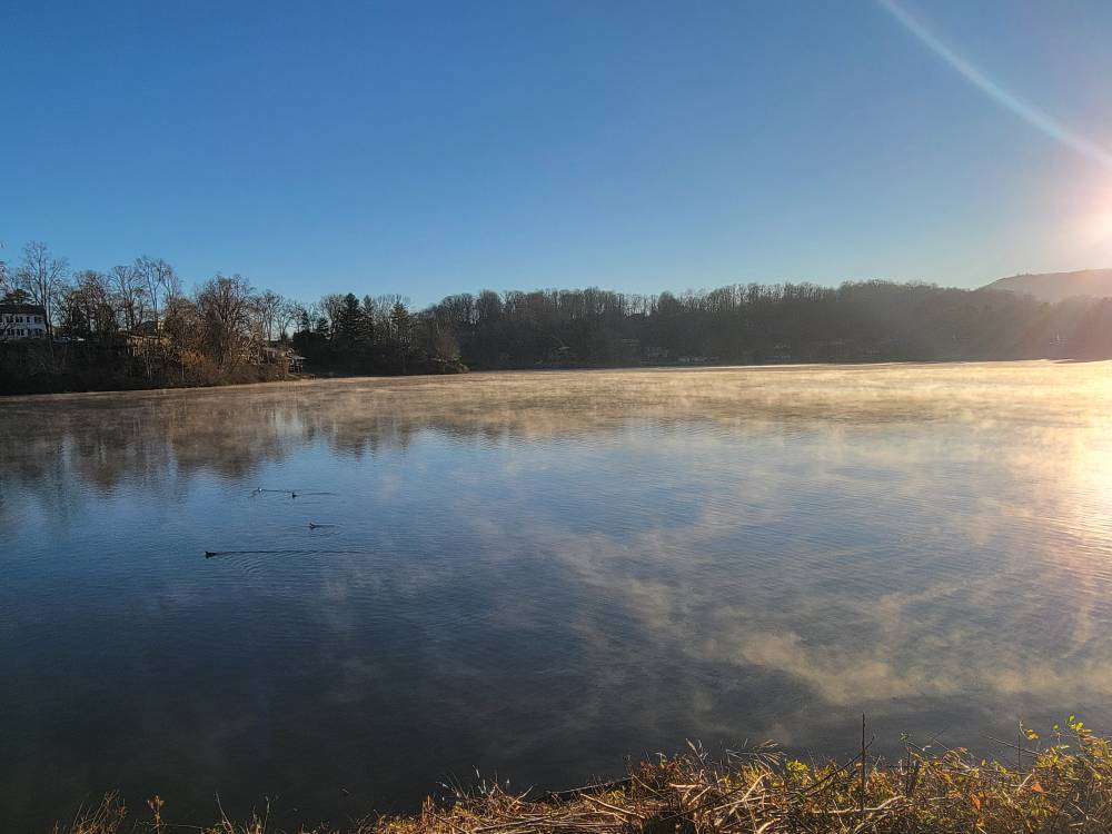
Beautiful morning on Lake Junalusks with the lake pathetically frozen. Sent from my SM-G998U using Tapatalk
-
Must be something about part of the PV rotating through and out.
-
Mmmmm that is interesting. You still windy up there?
-
Current temp is 6 degrees.
-
Lol right! Freeze your nickers off!
-
You going to take a midnight stroll lol.
-
Down to 12 here.
-
Yeah no kidding. Can't believe it took yall all day to just reach freezing.
-
Jesh! Im at 13 already with several in the single digits this evening. Crazy.
-
Our winds have died here. Down to 13 here.
-
Temp down to 15 degrees already.
-
20 degrees with snow still. The wind is ripping.
-
We should see snow most of the day along the border.
-
Absolutely hammering out there this morning with a temp down to 25. Sent from my SM-G998U using Tapatalk
-
Moderate snow this morning with steamers building along the border. Temp is down to 26 here with a dusting.
-
Wind is howling with a temp of 31 and moderate snow.
-
Pretty sweet bro!
-
Yup was in Johnson City where it was 45 then in Unicoi it was 38 and at the top of Sam's Gap it was 44, then at the bottom of the mountain it was 40. In Asheville it was 46. At home currently it is very windy with a temp of 51. Crazy temps tonight.


