Kay
-
Posts
2,313 -
Joined
Content Type
Profiles
Blogs
Forums
American Weather
Media Demo
Store
Gallery
Everything posted by Kay
-

The February 22-23 Late Season Miracle: JV Disco/Banter Thread
Kay replied to bncho's topic in Mid Atlantic
Ohh friend's bday, not his? Come home earlyyyyyyyy -
Too many wildcards but I do think we score something. I mostly like our northness and eastness. And oh - our proximity to an icy cold bay, for extra weenie hopes.
-
Yep. Thanks to all the mets weighing in. Regulars and less-regulars. Good stuff in last few pages. Meaning realistic and useful good, now necessarily omg sn++++ imby good. Read 'em weenies.
-
Haha. Idk but I tend to believe they really have been around, but under other names.
-
Almost certainly. They can't resist mentioning every now and then that they've been on the weather boards a very long time. But no mention of previous usernames.
-
Some of us are quietly following the evolution and quietly paying attention to the reasoning and the detailed posts. I think @LP08 identified some of this too, briefly. Your post was more detailed. Just saying - some of us do read more post less, but we see the posts and appreciate them.
-
The terrible thing is it gets to the point where ya have to add "but it's wrong, so wrong" to everything to keep someone from quoting you and going "but you know it's wrong???" lmao. 100% true about that dumb insanity def.
-
Correct, and nobody is. Everyone is now in a very mature and dignified and composed state about the GFS. Totally philosophical and zen-like. Probably won't see much reaction if and when it caves.
-
I had to delete, unnecessarily HUGE image lol
-
It's some tough competition.
-
IMO yes you still can, but this is a good one lol
-
Catching up this morning feels like...everyone chipped in and bought a custom pinata labeled "GFS', and then gathered round and beat the crap out of it (not sure what would be inside the pinata in this analogy. let's say sawdust.)
-
Delmarva delmolished
-
Definitely buy it! That is a meaningful and cool purchase you'll enjoy a long time. Here's another justification to tap into your "mom mode" a bit haha...model for your kids that, as long as you're not going broke, treating yourself and spending money on yourself and your creative interests is a positive thing. Please report back to us when you have bought it
-
I'm talking about Grey Hat.
-
I don't blame the mods. It's not always clear and it's best to be cautious with the ban hammer, even overly cautious.
-
Don't take the bait.
-
Could also be a Civil War re-enactor
-
Rage bait
-
Ok so I hope it snows...buuuut...congratulations, from an all state chorus alum. It was a great experience! Hope the performance goes well (uh despite having to be rescheduled )
-
Nice shots!
-
Just hit 40. Awaiting carwashocalypse.
-
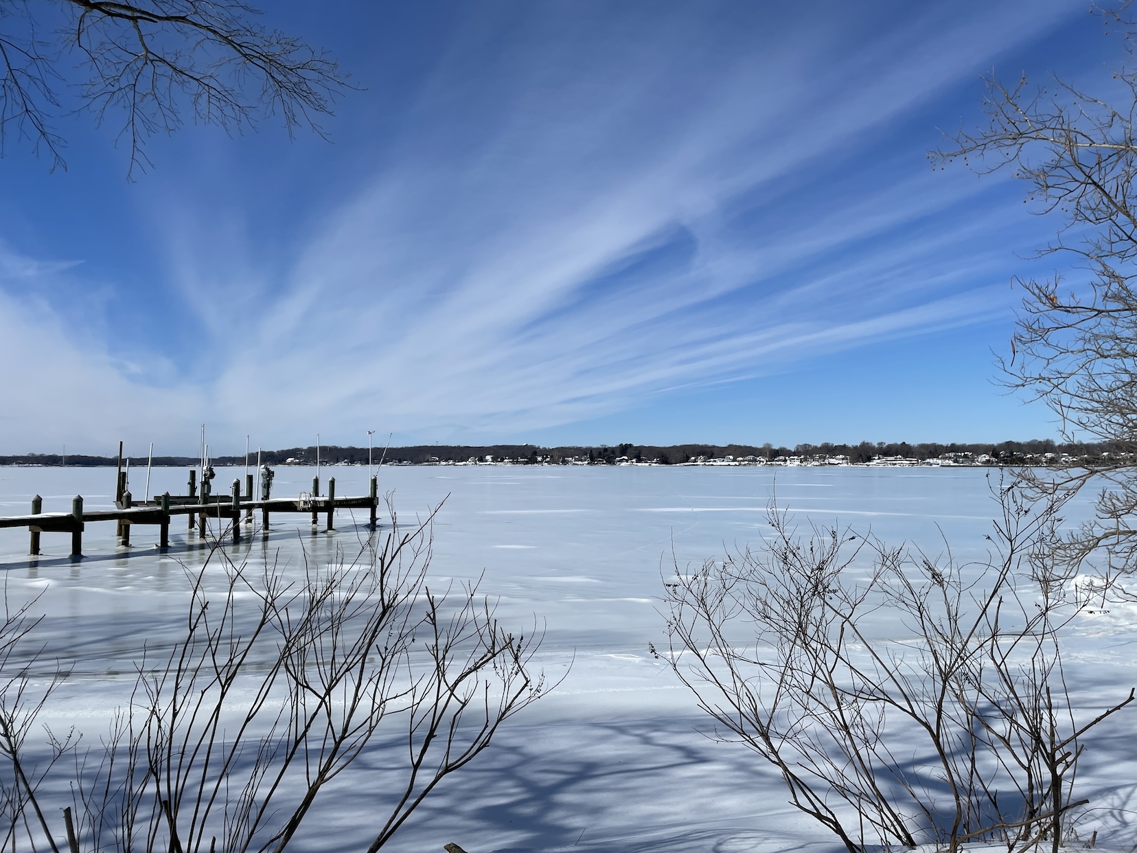
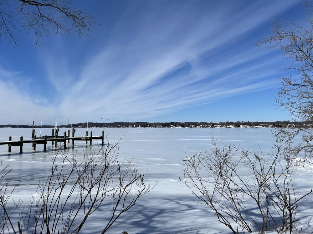
Also Jan 30. Smokin' cirrus on the Bush River.
-
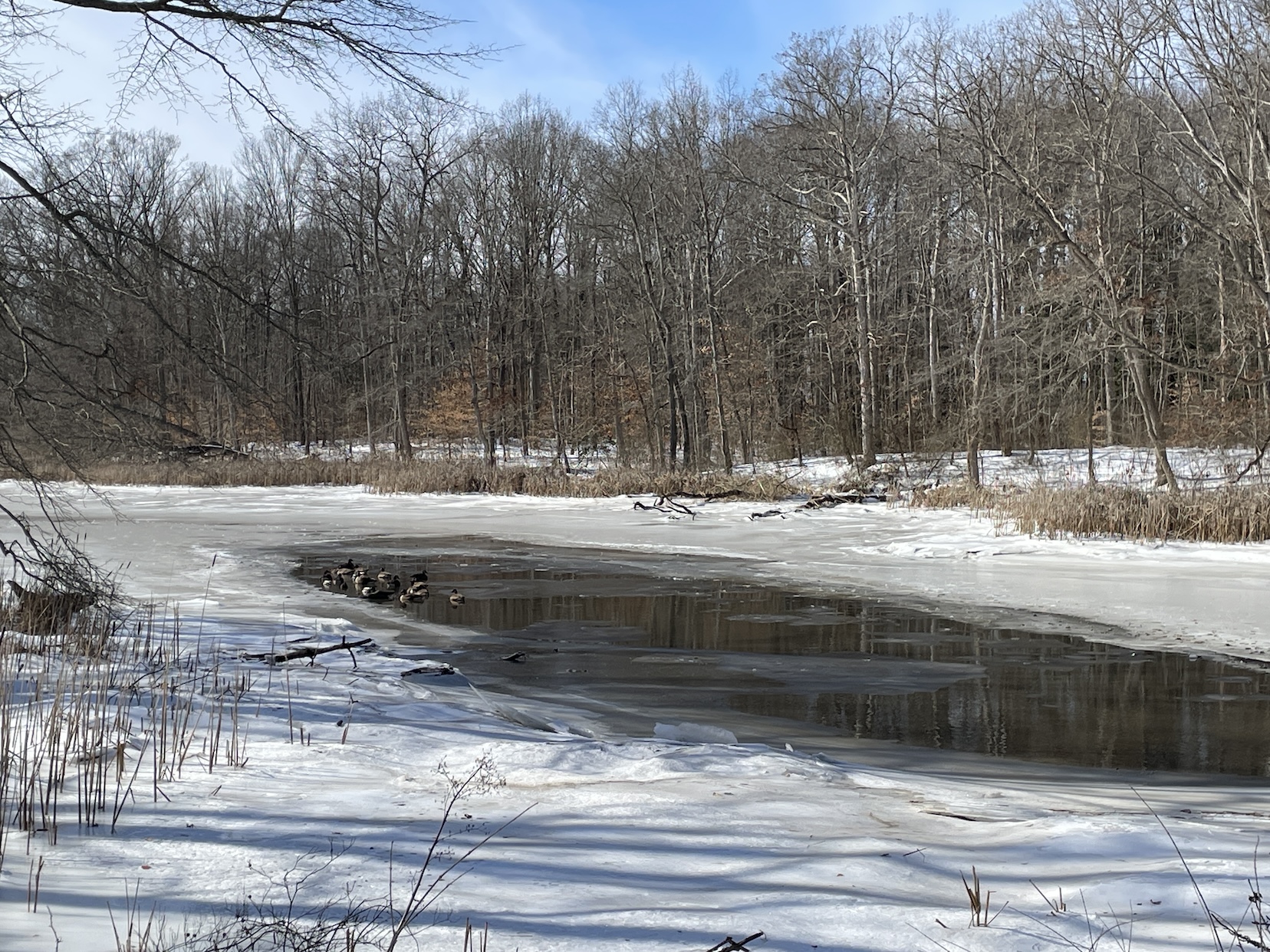
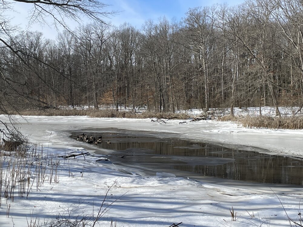
Jan 30. Little bit of melt in this inlet attracted swimmers.
-
Magical colors.