

nwohweather
-
Posts
3,818 -
Joined
-
Last visited
Content Type
Profiles
Blogs
Forums
American Weather
Media Demo
Store
Gallery
Everything posted by nwohweather
-

Mid to Long Range Discussion ~ 2022
nwohweather replied to buckeyefan1's topic in Southeastern States
Looks like Spring is definitely trying to make a run at things this week. I could absolutely see us hitting 80 on Thursday here for inland Charleston -
Definitely a little bit of a flooding threat there in NW Ohio to watch for
-
Mid to Long Range Discussion ~ 2022
nwohweather replied to buckeyefan1's topic in Southeastern States
I know many here root for winter but I am looking forward to this week quite a bit. It’s about time we get back to nicer weather -
Well within that 10-18” call. Imagine if it turned over there even 3 hours earlier, could’ve definitely been hitting that upper boundary of the forecast
-
I'll take it
-
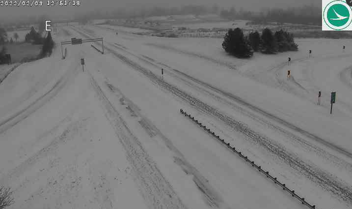
Wow, still all of these counties by the lake have closed their roads in Ohio… Erie County Hancock County Huron County Ottawa County Putnam County Sandusky County Seneca County Wyandot County
-
Sounds like the worst of it is definitely from Fremont eastward
-
I'm shocked to hear so little from folks in NW Ohio. Police are closing the roads in the eastern portions of the area and conditions look horrible. As I said yesterday, don't worry folks it's going to come
-
Looks like from Sylvania to Airport Hwy they're getting some solid snows, but Maumee shows rain still. What a hell of a gradient
-
You need to call Safelite sir
-
But that's where forecasting comes into play Seriously though you could tell this was going to happen. 1-2" through lunch time, 2-4" through the afternoon & dinner time, 3-5" through the night, 3-5" on Thursday morning/lunch time. Falls right in line with that 10-15" forecast
-
100%. Good moisture transport & solid forcing aloft should help it rip later this evening, especially back towards the IN/OH border. I think the models may be struggling a bit in the near term for the second wave as it's trying to "dry it up". I say that hesitantly though as this is playing out almost verbatim what the Euro has been showing the last few days. 10-15" is a solid bet for both systems and has been for the past few days in my opinion. Still, with that jet placement it looks like the overall winners are going to be in the I-69 to US-31 corridor back in Indiana
-
I'm going full broken record here, but the models never really showed a full change over in Toledo until around 1-2. IMO everyone is jumping the gun here on lowering totals including the TV stations. Reports out of IL/IN are pretty convincing
-
I know some were upset but come on, I’d rather have repairs now than during a severe weather event
-
Snowing now in Adrian now, with mixing beginning at Toledo Express as well
-
Looking at the radar and current conditions it looks like along a line from Angola, IN to Hillsdale, MI has transitioned to snow. Modeling showed this almost perfectly, Toledo was not supposed to be all snow until around 1-2 PM with potential mixing really until rush hour. I'd feel very confident looking at the radar and previous results off to the west already in the 10-18" predictions. I will add it's a shame LE is out of play but that lake is pretty frozen over now. Could get some really high rates on Thursday if this were not the case
-
Way too much panicking & model hugging folks. It's a long duration snowstorm, not a derecho or supercell that's going to pass by in the next 15 minutes
-
Everything at the moment looks pretty on track I’d say. In fact the orientation of the rain/snow line and position is almost exactly what the Euro was showing yesterday. Hell I don’t expect Toledo to be completely snow until rush hour today honestly, Detroit until probably lunch time
-
Lol right? Nothing will top Hawaii’s false alarm though
-
And this is literally completely an outlying area
-
Sheesh. It's almost hard amongst all the discussion to really grasp what 12-20" will do to this region. Everything is just so open and flat across NE IN/NW Ohio. To combine that with what will be a more powdery snow on Thursday & gusty winds into Friday, this part of the country is going to be absolutely shut down for days. I think drifts approaching 10' in some spots is not out of the question
-
Yeah I have not really looked in at the Tennessee Valley forum, but this has all the hallmarks of a crippling ice event along the Mississippi & Ohio Rivers
-
Sounds like something my urologist would tell me
-
As of now this looks like an entirely incorrect statement
-
Good heavens… ...WINTER STORM WARNING REMAINS IN EFFECT FROM 5 AM WEDNESDAY TO 7 PM EST THURSDAY... * WHAT...Heavy snow expected. Blowing snow developing Thursday with dangerous travel expected. Total snow accumulations 10 to 20 inches. * WHERE...Portions of northern Indiana and northwest Ohio. * WHEN...From 5 AM Wednesday to 7 PM EST Thursday. * IMPACTS...Travel will become very difficult to impossible. Blowing snow could significantly reduce visibility. The hazardous conditions will affect Wednesday and Thursday commutes. * ADDITIONAL DETAILS...Rain will change to snow from northwest to southeast late tonight and early Wednesday morning. This will be a long duration snow event, with periods of moderate to heavy snow and reduced visibilities.


