nwohweather
-
Posts
3,816 -
Joined
-
Last visited
Content Type
Profiles
Blogs
Forums
American Weather
Media Demo
Store
Gallery
Everything posted by nwohweather
-

2023 Short/Medium Range Severe Weather Discussion
nwohweather replied to Chicago Storm's topic in Lakes/Ohio Valley
Looking spicy tomorrow -
Call it the splashpad instead of the Windy City
-
Some pop ups again
-
2023 Short/Medium Range Severe Weather Discussion
nwohweather replied to Chicago Storm's topic in Lakes/Ohio Valley
I was shocked. I know large-scale ascent is better towards Ontario but dang with the ingredients in place I'm a bit shocked -
2023 Short/Medium Range Severe Weather Discussion
nwohweather replied to Chicago Storm's topic in Lakes/Ohio Valley
Canada is getting absolutely smoked at the moment. Rough time to be on the 401 -
2023 Short/Medium Range Severe Weather Discussion
nwohweather replied to Chicago Storm's topic in Lakes/Ohio Valley
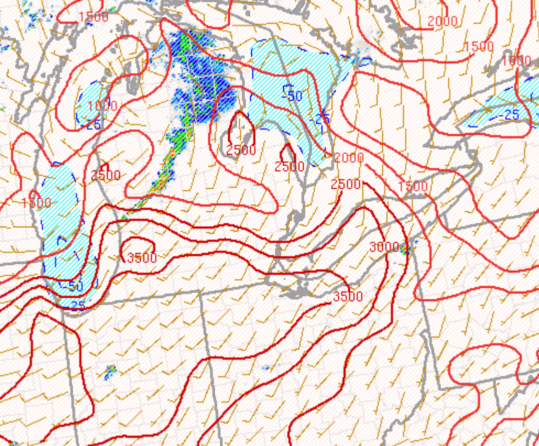
Really watching these storms as they approach Ohio. It seems the best environment is Coldwater to Fort Wayne & Findlay to Toledo. Anything in that square is pretty darn primed at the moment, seeing LI's around -8 and even -9 with LL lapse rates at 8° C/KM. Shear is solid but helicity is pretty low, a little higher around Hillsdale & Lenawee Counties so maybe something could spin up around there if it's discrete. -
2023 Short/Medium Range Severe Weather Discussion
nwohweather replied to Chicago Storm's topic in Lakes/Ohio Valley
We probably have some tennis ball sized hail right now on that storm in between South Bend & Elkhart -
2023 Short/Medium Range Severe Weather Discussion
nwohweather replied to Chicago Storm's topic in Lakes/Ohio Valley
On a side note to this, as someone who lived in Charleston, SC for 3 years it's amazing how so many people want to relocate & go through this for 4 months a year. And we're only in the low 80's, heck right now my old house is at 94/74 with a projected high of 98 today. Outdoor activities were just brutal outside of swimming, and even then the pool this time of year would often be around 90 degrees -
2023 Short/Medium Range Severe Weather Discussion
nwohweather replied to Chicago Storm's topic in Lakes/Ohio Valley
Certainly not lacking any energy. Still a small amount of capping in place but sheesh once that match gets thrown on the pile...
-
2023 Short/Medium Range Severe Weather Discussion
nwohweather replied to Chicago Storm's topic in Lakes/Ohio Valley
Love the hail chances today for here. Hard to imagine with those robust updrafts we won't see tornadoes here today, all definitely of the EF2 and under variety though. Planning to chase today for sure -
2023 Short/Medium Range Severe Weather Discussion
nwohweather replied to Chicago Storm's topic in Lakes/Ohio Valley
Not a bad setup. Concerned a bit with the LCL but I think we could see some solid hail and damaging winds tomorrow. I’d expect a tornado warning somewhere around Toledo with that front hanging out, you just know something will spin along it -
2023 Short/Medium Range Severe Weather Discussion
nwohweather replied to Chicago Storm's topic in Lakes/Ohio Valley
Yeah it’s why going to Napoleon and sitting is a great move. Head west or east on 24 to chase -
2023 Short/Medium Range Severe Weather Discussion
nwohweather replied to Chicago Storm's topic in Lakes/Ohio Valley
Those quasi stationary boundaries can just be flat out deadly in these events. If I’m not mistaken something similar occurred in WV last year -
2023 Short/Medium Range Severe Weather Discussion
nwohweather replied to Chicago Storm's topic in Lakes/Ohio Valley
Some marginal tornado chances around here tomorrow likely. I don't think the atmosphere will recover after the lunch time event enough for the evening to be rocking but if it does, we may require an ENH risk -
2023 Short/Medium Range Severe Weather Discussion
nwohweather replied to Chicago Storm's topic in Lakes/Ohio Valley
It was extremely faint, like finding a satellite on starry night -
2023 Short/Medium Range Severe Weather Discussion
nwohweather replied to Chicago Storm's topic in Lakes/Ohio Valley
That’s shocking. Not much rotation on radar -
2023 Short/Medium Range Severe Weather Discussion
nwohweather replied to Chicago Storm's topic in Lakes/Ohio Valley
That’s a meadow not a lawn Shame we’re seeing sunset put a lid on this. Shear and instability is pretty high at the moment for those storms along the Toll Road -
2023 Short/Medium Range Severe Weather Discussion
nwohweather replied to Chicago Storm's topic in Lakes/Ohio Valley
Imagine seeing that as a pilot -
2023 Short/Medium Range Severe Weather Discussion
nwohweather replied to Chicago Storm's topic in Lakes/Ohio Valley
For sure! I can clearly see it from the river here by Perrysburg, OH -
2023 Short/Medium Range Severe Weather Discussion
nwohweather replied to Chicago Storm's topic in Lakes/Ohio Valley
Starting to fizzle as it hits the lake. Definitely gonna see some hail reports -
2023 Short/Medium Range Severe Weather Discussion
nwohweather replied to Chicago Storm's topic in Lakes/Ohio Valley
Hell of a structure on that cell outside of Monroe -
2023 Short/Medium Range Severe Weather Discussion
nwohweather replied to Chicago Storm's topic in Lakes/Ohio Valley
Agreed. Helicity levels are really high at the moment & things look good at the mixed level. Also seeing a lower LCL off to the east -
2023 Short/Medium Range Severe Weather Discussion
nwohweather replied to Chicago Storm's topic in Lakes/Ohio Valley
Environment is pretty damn good off to the east of there. Could see some legit supercells once they get into the better instability of South Bend -
2023 Short/Medium Range Severe Weather Discussion
nwohweather replied to Chicago Storm's topic in Lakes/Ohio Valley
Tonight could get interesting in the region for sure. Pretty damn good instability and SRH building -
Findlay Brewing Co is an awesome spot. Some solid golf courses around the area as well. Definitely a weird town in that it’s in the middle of nowhere, but is home to one of the largest companies in the world