Allsnow
-
Posts
26,462 -
Joined
-
Last visited
Content Type
Profiles
Blogs
Forums
American Weather
Media Demo
Store
Gallery
Everything posted by Allsnow
-

November 2020 General Discussions & Observations Thread
Allsnow replied to Rtd208's topic in New York City Metro
This would be fun if true . This is a niño look in a Niña ENSO lol -
November 2020 General Discussions & Observations Thread
Allsnow replied to Rtd208's topic in New York City Metro
Looks like a active STJ and +pna to start December. We could have a chance with that set up -
November 2020 General Discussions & Observations Thread
Allsnow replied to Rtd208's topic in New York City Metro
Yeah, I don’t think we had a ridge spike like that in the west for years. -
Overnight looks like more of a trend to have the Pv move west of AK in the extended. Hopefully this allows for the pac puke to be flushed from Canada.
-
November 2020 General Discussions & Observations Thread
Allsnow replied to Rtd208's topic in New York City Metro
The darkest of the blues are over the Aleutians and ridge is in the west. I don’t think that’s a ideal snap shot imo. But I agree, this is more of a niño look then Niña for December -
Just happy to see that pig moving away from Ak. Rolling forward (la la land range) I would think it should improve
-
-
November 2020 General Discussions & Observations Thread
Allsnow replied to Rtd208's topic in New York City Metro
Get the pig out of Ak with that PNA you will cool off quickly in Canada -
November 2020 General Discussions & Observations Thread
Allsnow replied to Rtd208's topic in New York City Metro
Going to be a nice storm in the east at the end of November -
November 2020 General Discussions & Observations Thread
Allsnow replied to Rtd208's topic in New York City Metro
-
November 2020 General Discussions & Observations Thread
Allsnow replied to Rtd208's topic in New York City Metro
If we get a flow from Canada, their above normal is below here, it could potentially work for us as we work into mid December. Above all else we need a good pacific to have a chance -
November 2020 General Discussions & Observations Thread
Allsnow replied to Rtd208's topic in New York City Metro
GEFS going ham with +pna to start December. -
November 2020 General Discussions & Observations Thread
Allsnow replied to Rtd208's topic in New York City Metro
Agree. But it depends on where the ridge sets up. If it’s not off the west coast then the southeast ridge won’t pump that much. If we were entering a -epo/-pna pattern then I would say absolutely the ridge will be on roids A fast pac with a +pna could allow disturbances to be more progressive also. -
November 2020 General Discussions & Observations Thread
Allsnow replied to Rtd208's topic in New York City Metro
Just keep in mind their above normal is probably below normal for us. So if the flow is from Canada it will get cool in the East. By late December/early January Canada’s avg highs are way below freezing -
November 2020 General Discussions & Observations Thread
Allsnow replied to Rtd208's topic in New York City Metro
The mjo hanging out in cod is not typical of a Niña ENSO either. Normally we would have it in 4/5/6, which is the phases you don’t want. -
November 2020 General Discussions & Observations Thread
Allsnow replied to Rtd208's topic in New York City Metro
If we can get the models to continue trending with the +pna it would offer us a chance as we get deeper into December -
November 2020 General Discussions & Observations Thread
Allsnow replied to Rtd208's topic in New York City Metro

-
November 2020 General Discussions & Observations Thread
Allsnow replied to Rtd208's topic in New York City Metro
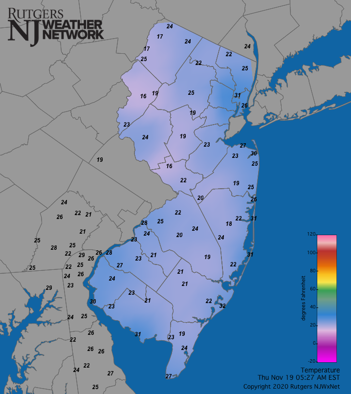
25 -
November 2020 General Discussions & Observations Thread
Allsnow replied to Rtd208's topic in New York City Metro
Great post. I would definitely sign for January 2000 after last year’s debacle. -
November 2020 General Discussions & Observations Thread
Allsnow replied to Rtd208's topic in New York City Metro
It’s freezing outside. Wasn’t really ready for this type of cold so early -
November 2020 General Discussions & Observations Thread
Allsnow replied to Rtd208's topic in New York City Metro
I remember looking at TWC radar and being concerned about the lack of precipitation by ACY. That’s just one of those storms that kept going west all the way till start time -
November 2020 General Discussions & Observations Thread
Allsnow replied to Rtd208's topic in New York City Metro
Lol. I knew you would bring that up. We got 4-5 of heavy wet snow then it shut off. I’m still waiting for that 2-4 of wrap around snows -
The fluke size limit is ridiculous in nj.
-
November 2020 General Discussions & Observations Thread
Allsnow replied to Rtd208's topic in New York City Metro
High of 36 so far today. More of a late December feel then November -
November 2020 General Discussions & Observations Thread
Allsnow replied to Rtd208's topic in New York City Metro
Let’s hope we get a January 2000. We had a good 2-3 week period of winter that month