WxUSAF
-
Posts
28,700 -
Joined
-
Last visited
Content Type
Profiles
Blogs
Forums
American Weather
Media Demo
Store
Gallery
Everything posted by WxUSAF
-
Seems more likely than not that some places in the sub forum will get accumulation from Monday so I’d suggest starting a thread for the 18z runs.
-
Yup, I’ve been having this same thought. The possible cold shots advertised next weekend and the week after *should* be good enough for widespread teens for lows and sub freezing highs even without snow cover. We’ll see…
-
51F to start the year. Happy new year weenies!
-
So sorry to hear of your loss @WxWatcher007. Glad to hear he was surrounded by loved ones. Best wishes to you and your family as you grieve.
-
Thanks for the tips!
-
18z RGEM was a huge shift and has some snow when the run stops at hr84. FWIW (not much)
-
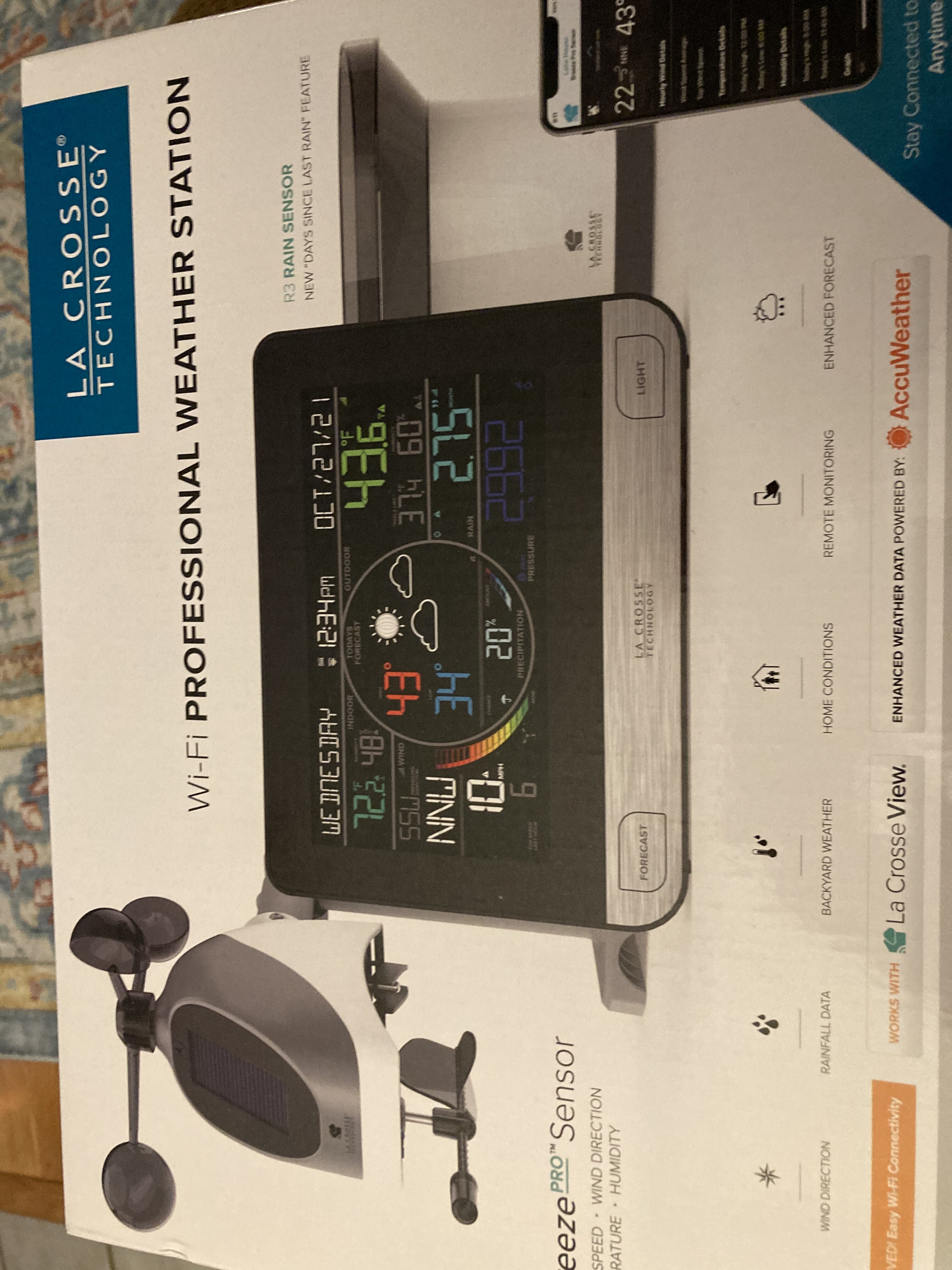
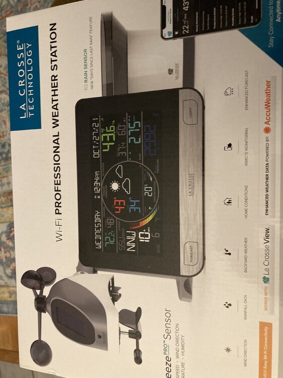
Mrs. WxUSAF got the family this PWS for Christmas. I’ve wanted a PWS for awhile, but never pulled the trigger in a Davis VP2 because they’re like $600. This one was obviously a lot less. I don’t care about wind too much because there’s nowhere I can mount it that would be clear enough. Anyone have personal experience with this unit or have recommendations/thoughts?
-
-
Euro also has a sharper shortwave than 0z, but much too far south.
-
That could be one of those rare setups that actually has a north trend at the end for us Possible. A stronger shortwave will increase ridging ahead and tend to move it north. GGEM wants nothing to do with it.
-
12z has a better shortwave presentation than 6z, but it’s farther south. Move it north a bit and the result is more like the 0z storm.
-
Nothing. Was a solid dusting in NE MD and right across the M/D line.
-
In Bel Air visiting family and there’s a dusting here. Probably 0.2-0.3” after accounting for some melting.
-
Heading to longwood gardens this afternoon. Hoping for some accumulation!
-
Changing back and forth between sleet and rain now
-
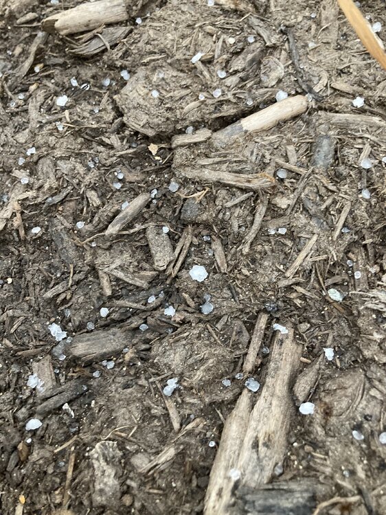
Getting a shower of the most heavily rimed snowflakes I think I’ve ever seen
-
Basically all the meso models (notably except the NAMs) have a period of snow (as determined by model p-type) mid-late morning tomorrow for northern or central or northeast MD. Surface temps are mid-30s at best though, so any accumulation would be on grass and rate dependant. eta…12z GFS as well.
-
The models know about the M/D line
-
High of 66, low of 42, and 0.15” of rain. Merry Christmas!
-
Go JWST!!!
-
Warm/dry, cool/wet, cold/dry
-
^thats the look that we were first teased with for next week. Hopefully we get it to actually happen. Euro with a nice setup and a RIC hit verbatim on Jan 3. That’s definitely a window of interest for now.
-
One positive over the last 24hrs for the GEFS and GEPS, at least , is that they have been restrengthening the -AO and -NAO at the end of the runs. Previously that was starting to break down (although always hard to tell how much is just reflective of ensemble spread).
-
I’m going Monday! Glad you’re on the mend!
-
Second. High of 39F again.