WxUSAF
-
Posts
28,730 -
Joined
-
Last visited
Content Type
Profiles
Blogs
Forums
American Weather
Media Demo
Store
Gallery
Everything posted by WxUSAF
-
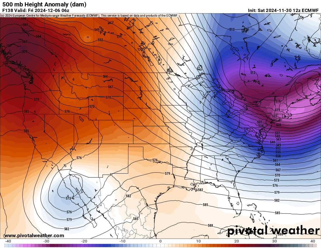
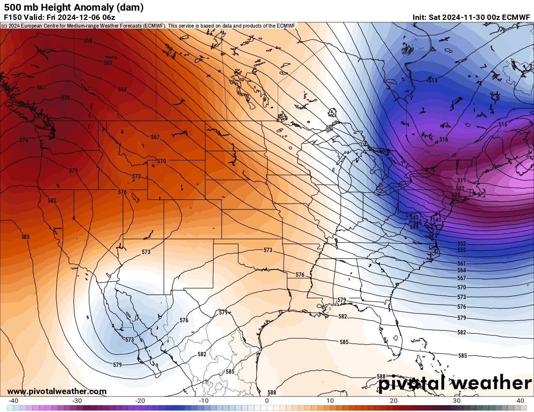
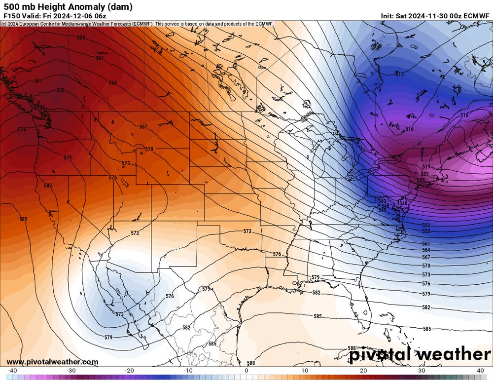
Pretty big disparity for the North Pac across the ensembles after D10. GEFS completely loses the -EPO ridging. This is only in today’s runs, yesterday retained it. GEPS and EPS keep it going strong and maintain ridging over the pole as well.
-
With this weekend chance seemingly falling through, we might have to wait awhile before our next track able period. Not a total shit the blinds period ahead, but definitely a “lower the blinds” time.
-
Low of 25
-
7 points would have helped in a loss by 5
-
Eagles D is really, really good.
-
Less than an hour!
-
Someone in PG county getting a surprise dusting?? Yellows on radar near 495.
-
Defense playing very well and team has been very good with penalties today. But offense has missed some chances and Tucker…
-
Now missed right. Two solid drives and 0 points.
-
No points on that drive is probably going to hurt in about an hour
-
Woof
-
Snow flakes in Columbia! No snowless December!
-
You had 1 job, Bungles…
-
20.7 low this morning just after midnight
-
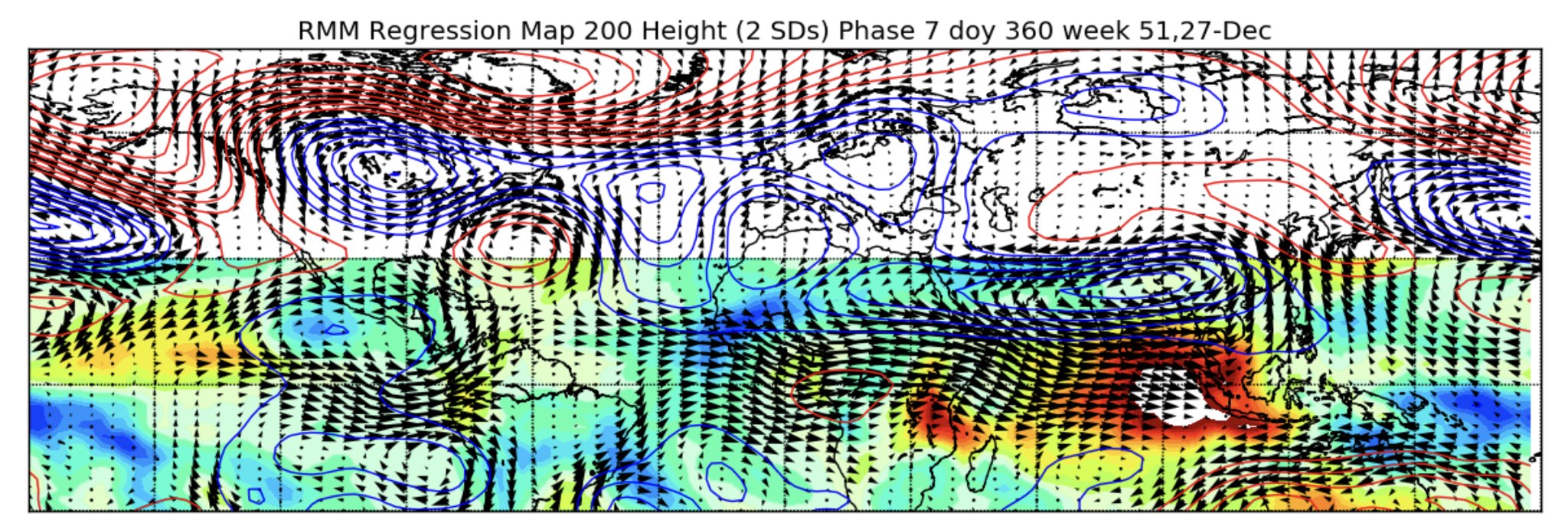
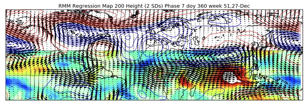
Webb posted this elsewhere, I think it’s Roundy’s low frequency forcing prog. It’s not always perfect, but this is a solid look by Xmas week. Maybe it’s rushing it a bit, but this pattern probably recycles throughout the winter and with a predominant -EPO, our source region will stay cold.
-
It was 55 at BWI on the 23rd and 66 later that week.
-
The Xmas torch is the most consistent aspect of our climate.
-
Down to 25 already
-
It moved a lot closer to something actually, yes. Look at the two shortwaves out west at 12z vs 0z

-
Yeah and all in the bad direction so far lol
-
Agreed. Slower than gfs, but looks like 6z gfs with how it’s starting to phase the shortwaves.
-
Low of 24
-
GEFS has some nice hits next weekend
-
Wtf was that? Fix in for the chiefs yet again