EasternLI
-
Posts
3,744 -
Joined
-
Last visited
Content Type
Profiles
Blogs
Forums
American Weather
Media Demo
Store
Gallery
Everything posted by EasternLI
-
Schools are closed around here tomorrow again. I couldn't imagine them being open anyway after the conditions earlier today tbh.
-
WOW.. PVD broke the blizzard of 78 record huh? That's amazing.
-
24" looks like a good number here for this bad boy. Lines up with the measurements I've taken. Plus some of the obs close by. That's 52" on the season now.
-
Just insane
-
It's double the height of the snowblower in spots. Waist deep around a lot of my house with drifts lol. Plus it's ripping hard >1/4 mi vis again right now. Incredible.
-
It's totally ripping again now. Just unreal.
-
Starting to snow pretty hard again here too now.. oof
-
Echo's rebuilding around ISP. You love to see it
-
Going to be a mighty effort to clean this up. Holy hell
-
Crappy spot for video and I can't really get out there yet either. But here's my silverado currently.
-
I might be there already. Didn't try measure yet. Had to dig the door out to open it
-
Just wild. This could be the new all timer for me here when all is said and done. 2 feet easily.
-
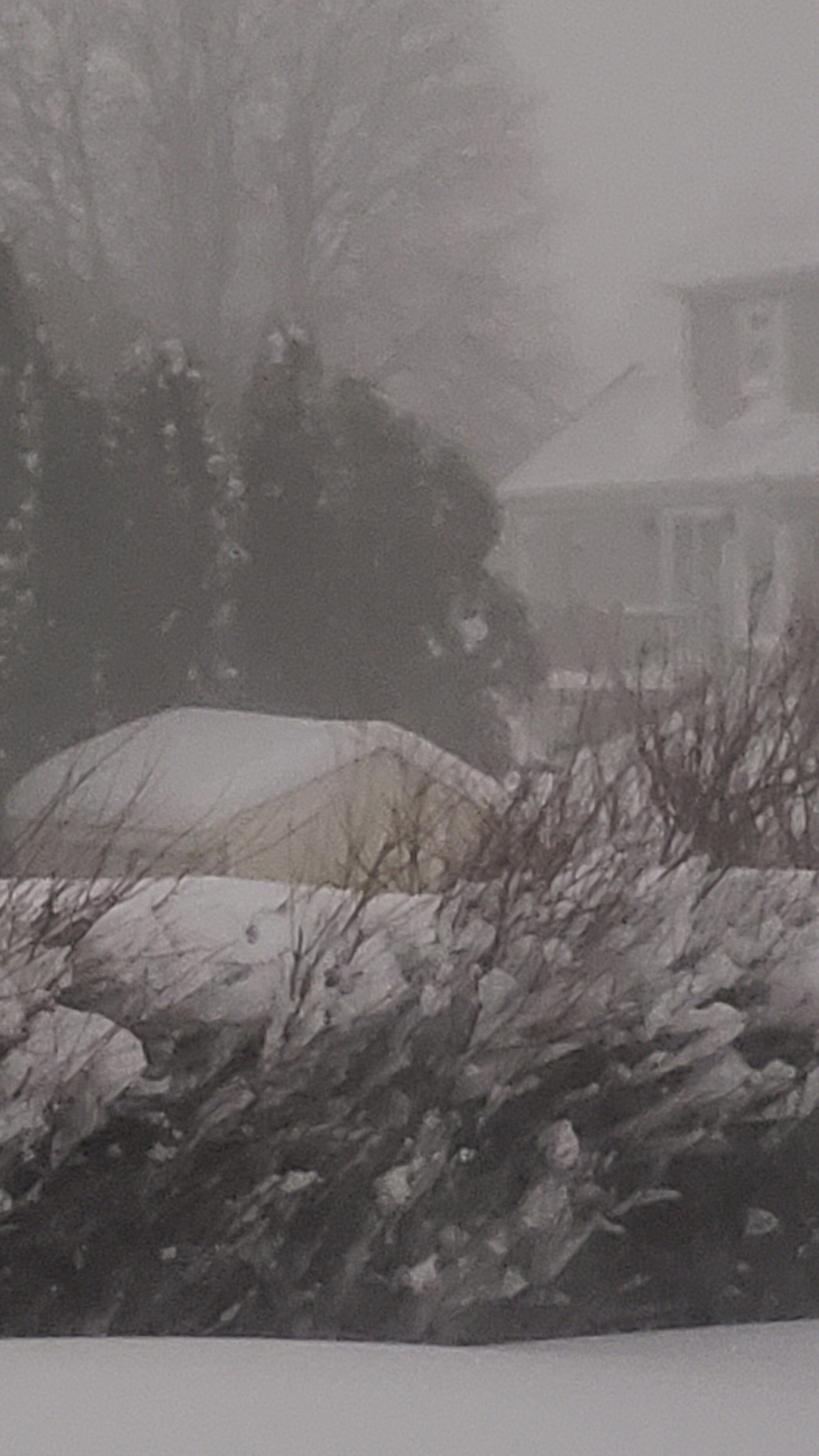
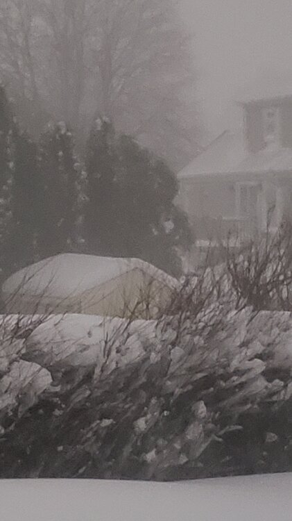
Whiteout here. Just wow.
-
OMG
-
Getting demolished here Holy crap! That tree is less than a block away and I have A LOT of snow.
-
8" and it is dumping.
-
I'm going to end up with a lot. 7" and heavy snow ongoing.
-
I'm over 6" already lol.
-
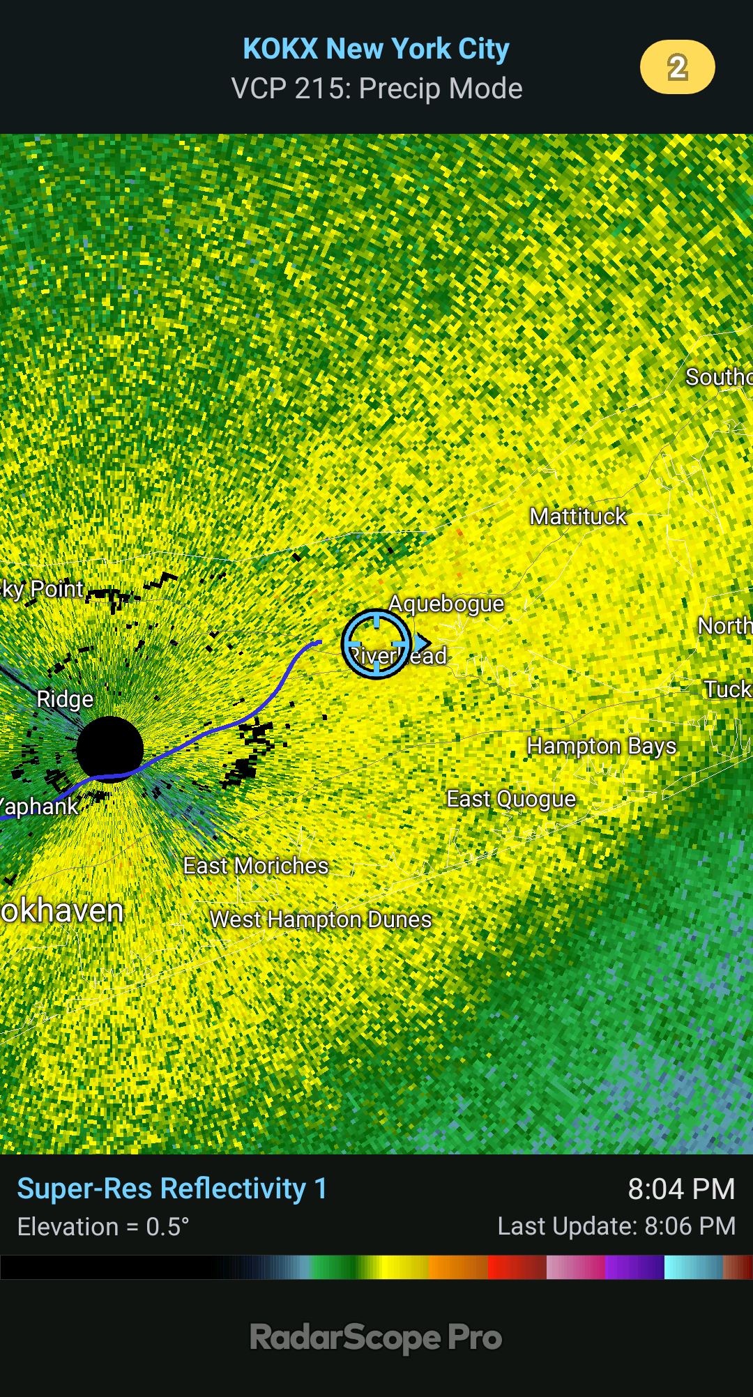
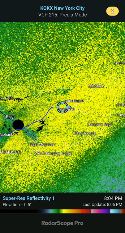
HRRR is a proper clobbering. This is going to be some storm.
-
-
A little over 4.5" and nuking.
-
Nuking in this. I'm right in the middle of it. I'll be buried if we keep anything like this up.
-
Man it is cranking here now. Very heavy snow. 1/8 mi or less vis type stuff. Getting breezy too.
-
-
Really coming down good now. Heavy snow. 31F. Radar looks incredible.