wxmanmitch
-
Posts
2,087 -
Joined
-
Last visited
Content Type
Profiles
Blogs
Forums
American Weather
Media Demo
Store
Gallery
Everything posted by wxmanmitch
-
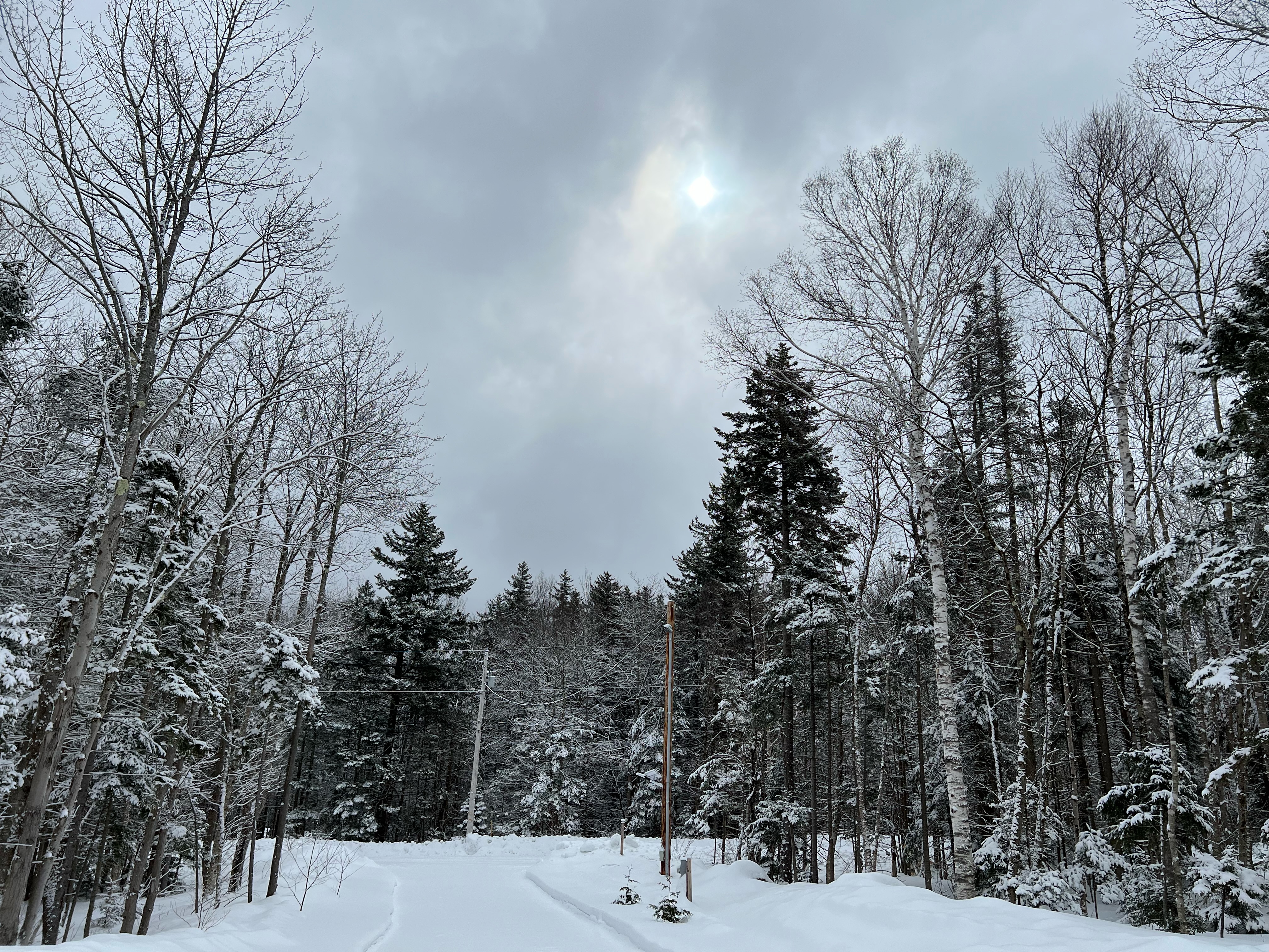
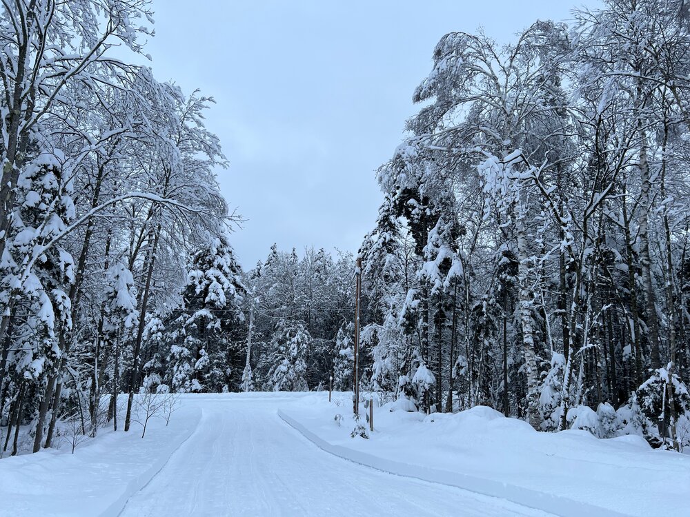
22.1" as of 8 am, so it's probably 23" or higher now. Dumping heavy snow with occasional wind gusts to 25 or 30 mph. 27° F. Power out since around 3:30 am, but on backup. Internet still on for now anyway. Long way to go with this one too.
-
29.5° F, moderate snow. Had 3.7" total as of an hour ago, so we're probably 4-4.5" now.
-
Light snow, 30.7° F. There was 1.0" as of 5 pm, so maybe 1.3 or so by now. Snow growth has been fantastic so far with lots of dendrites. Should be a good one here...
-

The last hurrah? Putting all the eggs in the Tuesday 3/14 basket
wxmanmitch replied to Ginx snewx's topic in New England
Amen brother! Downing an IPA as I watch the latest models up the ante for our area. The 18z GFS and 12z Euro seem to keying in on this area as the jackpot zone with between 3" and 4" QPF as snow! Even half of those amounts would still yield a good snowstorm... This doubled barreled low idea may actually be quite good for us as they act to lengthen the easterly LLJ fetch and prevent the heavy snow band from pivoting on through too quickly. The double barreled low is a result of competing forces: synoptic forcing vs. convective forcing. The eastern low is a result of the southern convection being advected N and NE along the eastern side of the big trough through the Great Lakes, while the western low results from the synoptic forcing associated with cyclonic vorticity advection and diffluence aloft ahead of this ULL. Eventually the two lows likely mesh together near the vicinity of Cape Cod at which point eastern areas may be able to dynamically cool the column and flip to heavy snow. This looks to be a fascinating event meteorologically as well as a big snow producer. -
March 10-11 light snow threat for SW New England.
wxmanmitch replied to Sey-Mour Snow's topic in New England
I'm now in the 100" club! 2.2" here has brought my season total to 100.9", so I'm 5 for 5 with 100"+ seasons since moving here. Looking to add a lot more Monday night through Tuesday...
-
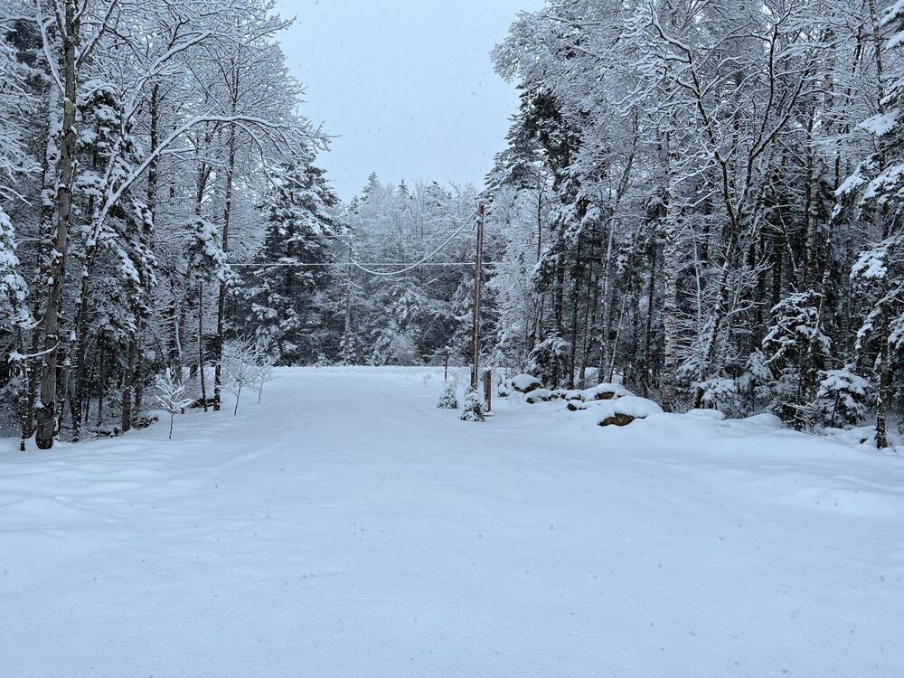
10.5" total. Very dense snow with a bluish tinge. No sleet contamination at all. Still snowing around 1/2" per hour or so with much better snow growth than I had overnight, which was a somewhat rimey baking soda like stuff typical of SWFEs.
-
Basically a white freight train outside here. Just pounding snow with gusty winds. Completely nuts! This is what I live for. Probably around 4" so far, 25° F.
-
I did, but moved to my current location 5 years ago. +SN, 2-2.5" down. Small flakes typical of a WCB and definitely a very low visibility.
-
+SN, 26° F. Looks like 1-1.5" or so down already. If all of that WCB precipitation to my SW reaches me as all snow it's going to be a fun night.
-
What a nail biter this is going to be IMBY. Could very well be one of those cases where the west slope out by Prospect Mountain in Woodford goes to sleet, but I stay snow here on the upper echelons of the east slope. Latest mesos are looking a little colder though. Going to be interesting to watch the dual pol radar overnight to see if that sleet line makes it over the top of the spine and into my hood.
-
Wow...hang that in Louvre! I get goosebumps just looking at that prog.
-
Posted this in the other thread, but this storm busted with only 4.0" of snow on 0.39" liquid. I was expecting closer to 8" with around 0.75" liquid, which is an average of the QPF that a lot of the NWP was forecasting up until go time last night. Synoptic forcing was weak pretty much the whole time except for a couple of hours at the storm's onset from around 10 pm to midnight last night. These Miller Bs often screw someone and NWP always has a hard time figuring out where that is...
-
Storm busted with only 4.0" of snow on 0.39" liquid. I was expecting closer to 8" with around 0.75" liquid, which is an average of the QPF that a lot of the NWP was forecasting up until go time last night. Synoptic forcing was weak pretty much the whole time except for a couple of hours at the storm's onset from around 10 pm to midnight last night. Nobody really cares if a storm produces 0.75" rain or 0.39" rain as impact differences are nil compared to 4" of snow vs. 8" of snow, which has a much more tangible effect on people's daily lives. Glad those of you in the south of the Pike crew were able to get something decent as you've been shafted pretty much all winter. We'll see what Friday night brings. Could be a good storm here, but I worry about too much warmth aloft and sleet, especially if the 12z ECMWF depiction comes to fruition. That said, I feel like the Euro has been more inconsistent than usual of late though with cave ins to the GFS and some rather profound mood swings. It had a whiff to the south, and now it's basically a cutter with a weak secondary development for this event. GFS has been much more consistent with this threat so far.
-
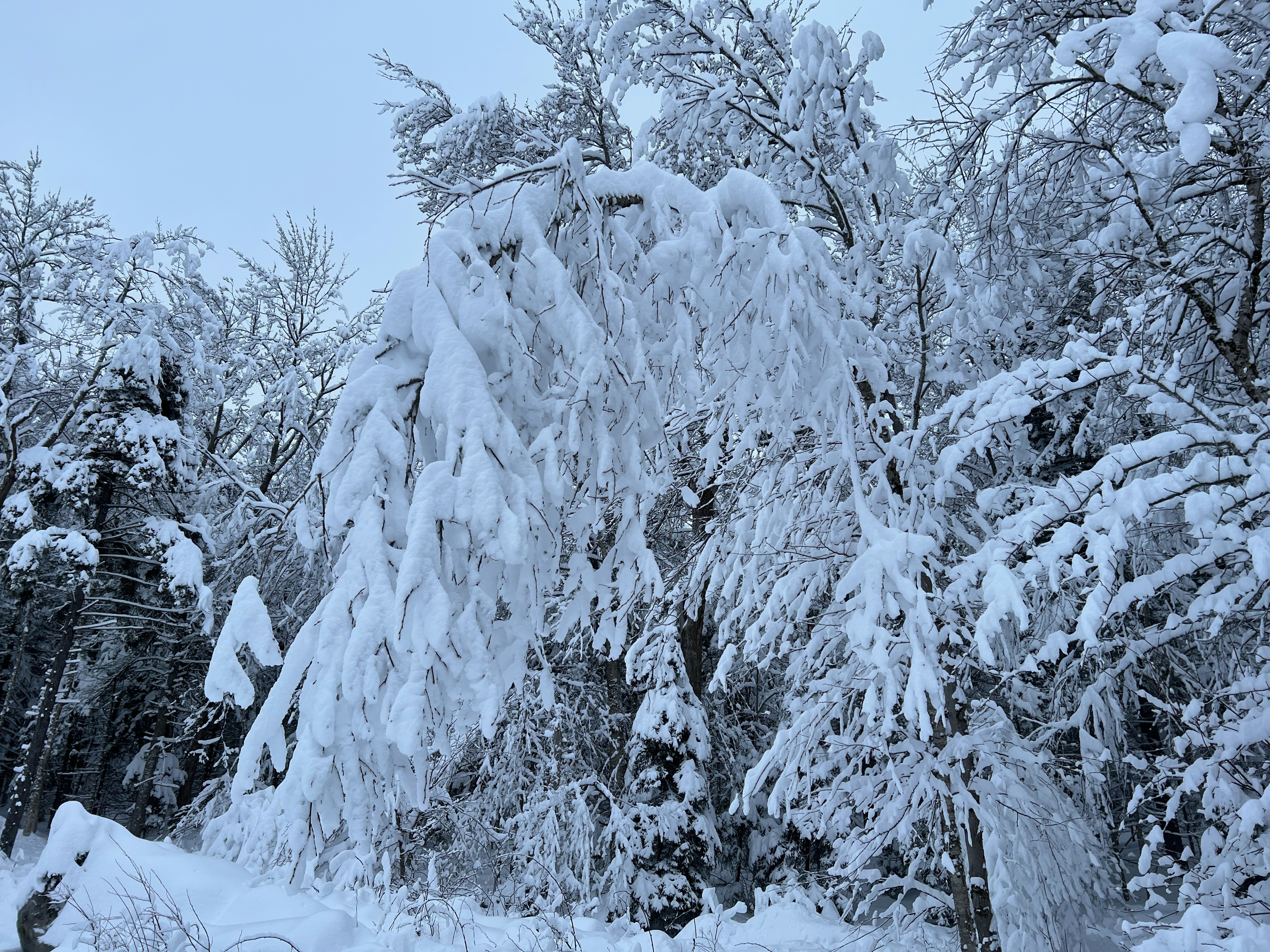
4.1" total snow and sleet here, which is pretty much what was expected. Turned to sleet around midnight. Just some freezing drizzle now, 21° F. Today was the first time snow blowing here since 1/23 which is incredible for above 2K in the Green Mountains during peak snow climo. It just goes to show how God awful the pattern has been lately. The snow consistency is like sugar as we didn't get any freezing rain or drizzle mixed in overnight, but things will crust over with round 2 looking like a cold freezing rain in the low 20s. Fortunately, it doesn't look significant in terms of QPF, but it won't take much to ice things up at those temperatures.
-
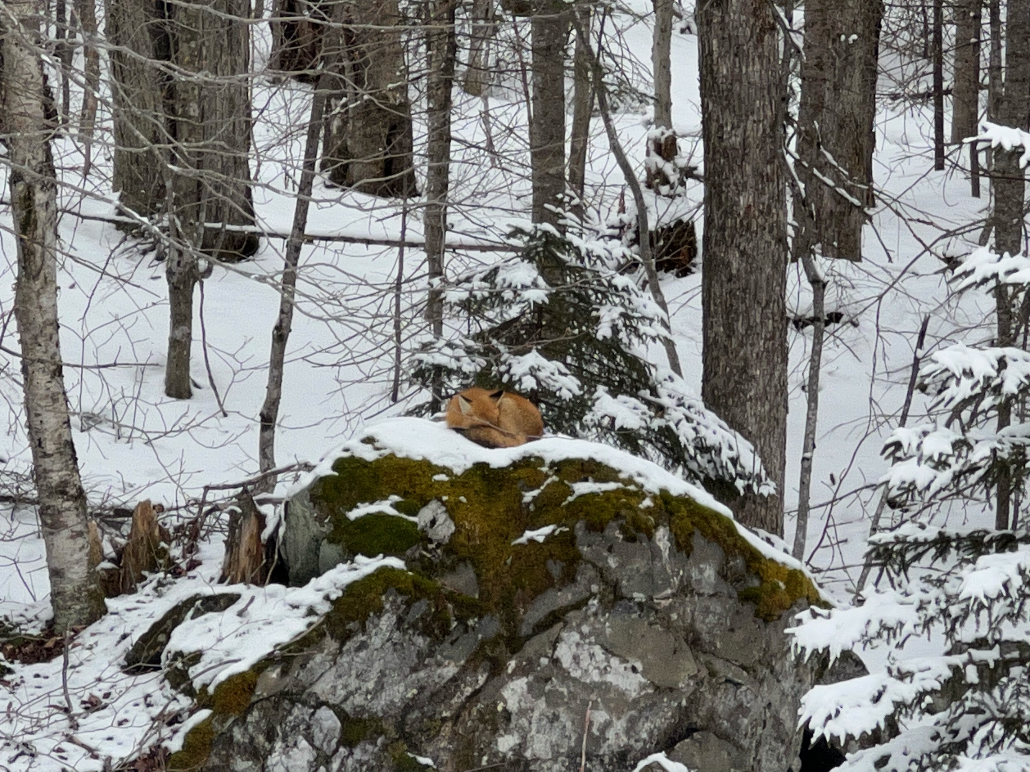
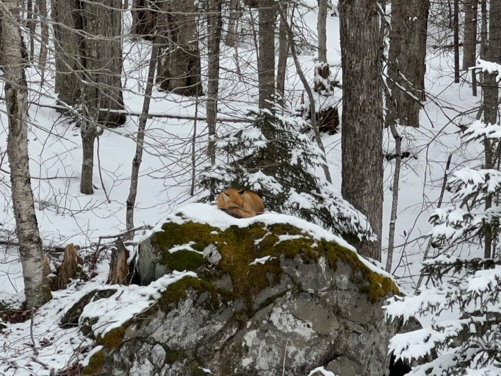
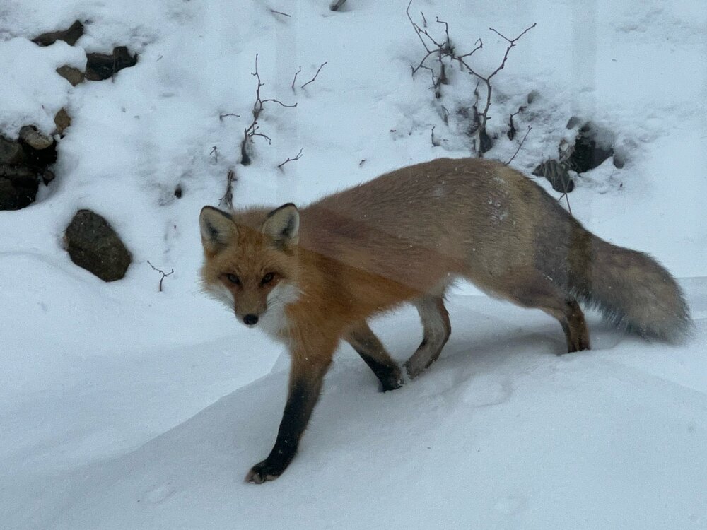
Lots of fox sightings here, but not much else lately. The deer usually leave my area for a white pine/hemlock glen in the valley during the middle of the winter. 4.1" of snow and sleet here. Consistency is like white sugar as there was virtually no freezing rain or drizzle overnight. Expecting a bit of glaze with at 2 later on. Soundings look hideous with freezing rain and low to mid 20s. Fortunately it does not look like a big event.
-
3.3" of new snow, now sleeting. 24.1° F.
-
I have this fox that loves napping on this boulder behind the house. I've been seeing it several times a week lately, and today it decided to come close to the house. What a beauty! It's definitely been a lackluster winter...I haven't used the snow blower in a full month, although I expect to use it tomorrow after the snow and sleet associated this SWFE. Hoping to make up for some lost time over the next 10-15 days.
-
The event of the season - 2 days of hell!
wxmanmitch replied to Go Kart Mozart's topic in New England
-25.4° F here on the Davis VP2. Coldest reading I've had here by far in the almost 5 years I've been at this location. I'm pretty sure it was around -27° F here in 2016 based on nearby PWS obs, but this was still a very impressive shot of arctic air. -
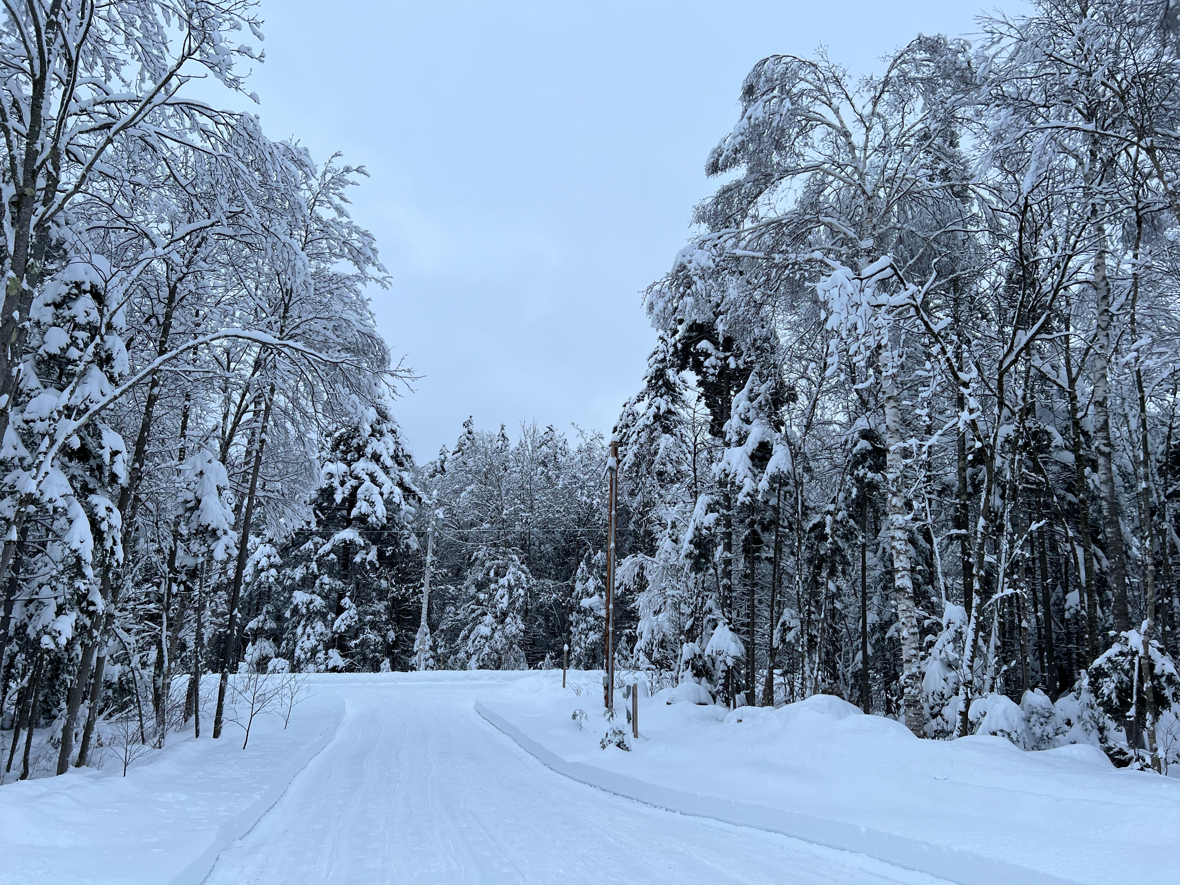
10.2" storm total here on 1.21" liquid. Nice little storm. Very dense snow with a definite bluish hue. There's a slight crust about 5" down so I had a very brief flip to freezing rain/drizzle overnight. Amazingly no power losses other than a few flickers so far although the wind has begun to ramp up so there may be some going forward. Total depth at 17".

-
7.0" as of about 20 minutes ago. There was a slight crunch a couple of inches down so we had a touch of freezing rain overnight. Double digits should be attainable here, maybe a foot depending on how the CCB performs.
-
Moderate snow, 25.6° F. Looks like an inch or so down. I like where I stand for this one.
-
4.8" storm total, 4.3" from today's IVT, 0.5" of crud on the bottom from yesterday's bust. Grid power is down, but backup FTW. Per the radar, it's transitioning into more of an upslope situation now, albeit somewhat blocked as the most intense echoes are west.
-
I don't know, drones? I'm not sure how well drones could handle the intense conditions (winds, extreme temperatures, moisture, icing, etc.) and thin air of the upper troposphere and stratosphere though, but just a thought...
-
I posed this question over on Twitter and I'll pose it here too, but I wonder if the loss of weather balloon launches at both Albany, NY and Chatham, MA contributed to today's precipitation type bust? Albany's is due to the apparent Helium shortage and Chatham's due to beach erosion threatening the launch site. Without this valuable upper air data, I wonder if the warm layer aloft was not adequately sampled prior to data ingestion into the 12z model suite, leading to the models predicting colder p-types than what they should have been. After all, a model is only as good as the data that goes into it; hence the term I learned in NWP class back in the day: "garbage in, garbage out". Even today's 12z 3-km NAM (which is usually the warmest among the guidance in these scenarios) had many areas in N MA, S VT, and S NH snowing for a few hours before eventually flipping to sleet and freezing rain. This would've likely led to a few inches before the changeover, but instead it was PL/RA/ZR from the onset. While many places did eventually change to snow briefly due to diabatic cooling eroding the initial warm layer aloft, it took nearly 2 hours here and the WAA won out faster than I had anticipated, flipping my hard earned snow quickly back to PL/RA/ZR after only about 30-40 minutes. I tend to think that the warm layer aloft that was in place prior to the precipitation beginning was warmer than what the 12z models had expected, leading to the warmer p-types observed and longer changeover times to snow. I know that the models often underestimate the WAA aloft with these SWFEs, but usually the high res NAM does a better job than this inside of 12-24 hours to the event. In the absence of upper air data from weather balloon launches, how do we know what the actual temperatures aloft are for a given place and time at say the 850 mb level? Satellite data? If it is satellite data, how accurate is it? Just musing over why things transpired the way they did today...
-
Safe to say that part 1 is going to bust here. Back to ZR/PL after a brief burst of heavy snow. We had a quick 0.5" with the snow. The meso models underestimated the extent of the warm layer aloft prior to the onset of precipitation so we wasted 2 hours as ZR/PL instead of snow, and also underestimated the WAA aloft (as they often do with SWFEs). Both factors severely minimized the time it spent snowing.