MJOatleast7
-
Posts
333 -
Joined
-
Last visited
Content Type
Profiles
Blogs
Forums
American Weather
Media Demo
Store
Gallery
Everything posted by MJOatleast7
-
Potential Major Noreaster 10-26 through 10-27
MJOatleast7 replied to ineedsnow's topic in New England
Let's at least hope for upwelling as this thing passes by...at the very least, removal of upper ocean heat content so maybe won't be as quick to turn to rain at the coast. -
October Discussion: Bring the Frost-Hold the Snow
MJOatleast7 replied to 40/70 Benchmark's topic in New England
Happy First GFS Clown Storm of 2022-22 . -
GFS shows it…complete with fantasy cane at the same time. .
-
October Discussion: Bring the Frost-Hold the Snow
MJOatleast7 replied to 40/70 Benchmark's topic in New England
Nice cold pool developing in GoA. Just like 2011 -
Snowfall associated with a tropical system actually occurred in NE in 1804 (New England Snow Hurricane) and 1963 (Hurricane Ginny)
-
August Disco 2021. Do record dews continue?
MJOatleast7 replied to Damage In Tolland's topic in New England
September is what used to be called "rebound days" at my college in VT -
That Central Park concert about to get wet. .
-
August Disco 2021. Do record dews continue?
MJOatleast7 replied to Damage In Tolland's topic in New England
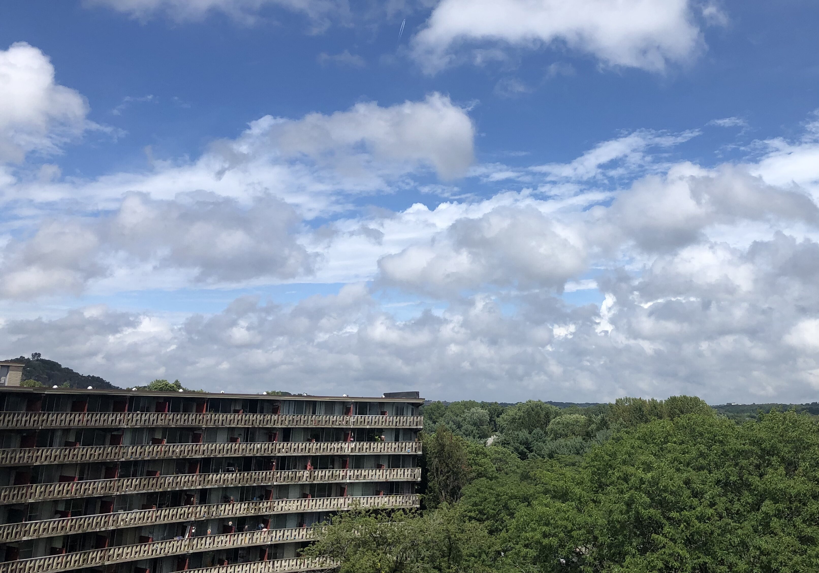
My condo building in Winchester, MA. Top floor, great view to NE -
August Disco 2021. Do record dews continue?
MJOatleast7 replied to Damage In Tolland's topic in New England
Meanwhile, gotta love this Bermuda Blue…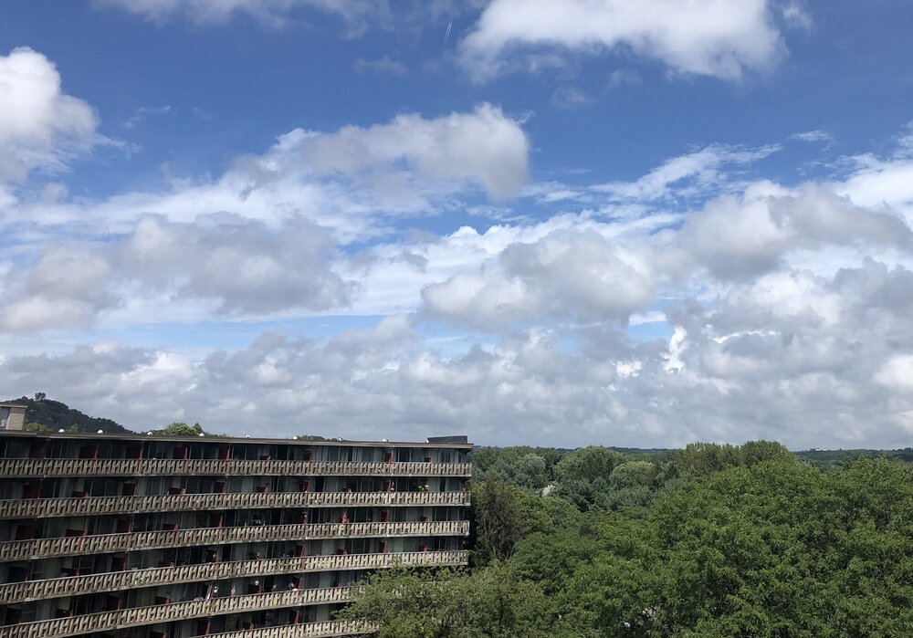
-
August Disco 2021. Do record dews continue?
MJOatleast7 replied to Damage In Tolland's topic in New England
From 3:45 pm BOX AFD... Temperatures will be only slightly above normal, with highs generally in the low to mid 80s. Should be good weather for most summer outdoor activities (boating/swimming/boonie-stomps). ???? -
Somebody go out and sample the rain later, see if there's any soot in it...
-
Off tobic, but...anybody catch that warm-core system near Bermuda end of next week? Way too early to talk TCs but still...
-
So as the HC expands north (CC)do you think it’ll eventually put E NE in the trade wind belt in the summer? Says the weather geek looking for his first landfalling TC from the *east* like in the Caribbean...Probably still 50 years or so from that happening.
-
Jonathan flakes???
-
It’s concerning however that a cold pool still develops N of AK at the end of the runs. Been there for several runs now. Sent from my iPad using Tapatalk
-
First flakes in Winchester MA... Sent from my iPad using Tapatalk
-
At least the 12Z GFS got rid of the ugly 470s at 500 N of AK
-

-
If only...if only...Sukayu Onsen eat your heart out.
-
Aaaand... Todd Gross is back.
-
So is this how we chew up those too-warm SSTs and defy the NOAA seasonal?