

MJOatleast7
-
Posts
337 -
Joined
-
Last visited
Content Type
Profiles
Blogs
Forums
American Weather
Media Demo
Store
Gallery
Everything posted by MJOatleast7
-
Which would be drizzle for us in BOS. How exciting.
-
All that chaos and then a subtropical system in the central Atlantic. Gotta wonder ifTHAT can be a player too, torquing the flow into a 50/50 low or something like that. Right now it's too far east and only temporary.
-
Looks like crazy velocity though - whatever forms should be quick hitting
-
Hurricane hunter report seemed to coincide with the RI that happened just before landfall. The observer said it was more lightning than he’d ever seen in his career as a hurricane hunter. Sounds like the plane passed near or through a hot tower accompanying the RI. Would love to see the data from that pass. .
-
Winchester MA about 7:10 .
-
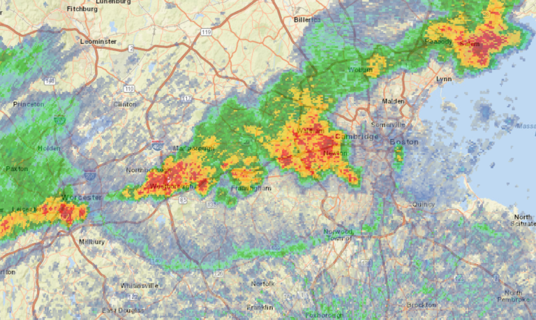
Check out the outflow boundary (4:07 pm) on a sagging ORH-OWD line.
-
Breakwater Beach n Brewster,man...over a mile of exposed sand at low tide, completely covered over at high tide. That's a lot of sun-baked real estate to warm the incoming water. It's a wonder we don't get tidal bores there like in Nova Scotia.
-
Gee I hope we get a High Sierra scenario, where the first precip event of fall is snow. [emoji1] Sent from my iPad using Tapatalk
-
It also depends how deep the warm layer is...If it's 80F through 200' of depth that's a lot better for maintaining TC strength than if it's, say, only 40-50' deep. Although since systems are usually trucking along at MA/SNE latitudes I don't really know if upwelling would still able to affect the storm as it passed.
-
Amazing seabreeze front at York Beach, ME today…ran into it coming back from Nubble light at Sohier park(73F) to 83 at the end of Nubble Rd 0.8 mile later, then 95 at the south end of Long Sands Beach. All within less than 2.5 miles. Earlier the front had been about 2 miles back from the coast but then bumped eastward to the beach about 6 pm. .
-
Nice seabereeze at Nubble Light in York, ME. 78 this afternoon. Sent from my iPad using Tapatalk
-
Since August 2002? Sent from my iPad using Tapatalk
-
Lack of soil moisture definitely plays a part, though. I don’t have any hard data, but I’m sure soil moisture is way down in the 20th percentile or so region wide. All the sun’s energy can go into heating the ground, and by extension the air, when there’s no water to evaporate. .
-
So...will this veer NW to Greenland and flash-melt a billion tons of ice in one day, like in 2019?
-
I mean, 35C at 850 has been in the higher country in the western parts of all those states but not at the lower elev's farther east. There we can better apply the 15-16C add-on to 850s rule for extrapolating to the surface and we get Khorramshahr oilfield heat
-
Armageddon and Deep Impact combined as one. .
-
November 2001 was the Leonid meteor storm. One every several seconds just before dawn…in fact, some visible even in morning twilight, Several of us from the Museum of Science Planetarium (where Ibstill work) drove to the top of Pack Monadnock to see it. There were also sub-storm (but much more active than typical Leonid activity) showers in Nov. 1999 and 2000. There were end-of the world calibre storms from the Leonids also in 1833 and 1897. .
-
Lower min temps as well as lower dew points sometimes too? .
-
Well, Harv just gave his last regular cast…He expressed such gratitude and appreciation for everyone. .
-
So Jason Alexander.
-
Hopefully it won't be like Sunday, August 17, 1969 at a certain music festival...
-
Not that it'll accumulate on anything not already covered. Sun angle FTW
-
Winter storm for the 25th of February is imminent.
MJOatleast7 replied to Typhoon Tip's topic in New England
By any chance was one of his children named Shira? . -
Winter storm for the 25th of February is imminent.
MJOatleast7 replied to Typhoon Tip's topic in New England
Hmm...HC expansion built-in? -
Winter storm for the 25th of February is imminent.
MJOatleast7 replied to Typhoon Tip's topic in New England
ORH jack?


