weatherwiz
-
Posts
79,817 -
Joined
-
Last visited
Content Type
Profiles
Blogs
Forums
American Weather
Media Demo
Store
Gallery
Everything posted by weatherwiz
-

July 2025 Obs/Disco ... possible historic month for heat
weatherwiz replied to Typhoon Tip's topic in New England
You know what I've been thinking about...the term "showers" in say like scattered showers and thunderstorms or isolated showers and thunderstorms...showers doesn't even do it justice anymore. Need to start communicating them as downpours and thunderstorms. When you have dewpoints well into the 60's and especially 70's...these aren't just your regular showers anymore. -
July 2025 Obs/Disco ... possible historic month for heat
weatherwiz replied to Typhoon Tip's topic in New England
Curious to see how widespread activity will be during that time frame...seems like there will be a weak west-to-east boundary within the region (maybe just a sea-breeze lifting north?) and that will be the focus for convection. Which if this pans out there will be a concern for flash flooding. Could see some training storms across northern CT into RI and probably just south of BOS. -
July 2025 Obs/Disco ... possible historic month for heat
weatherwiz replied to Typhoon Tip's topic in New England
Tomorrow looks prime for multiple wet microbursts. I suspect we see an upgrade to slight at some point. -
July 2025 Obs/Disco ... possible historic month for heat
weatherwiz replied to Typhoon Tip's topic in New England
Looking at some of those river gauges the rises were unimaginable...so many gauges that literally shot up like 20 feet in less than an hour. Absolutely horrific. -
July 2025 Obs/Disco ... possible historic month for heat
weatherwiz replied to Typhoon Tip's topic in New England
Flying down to Florida Thursday and going on a cruise from Saturday - Monday. Forget where it leaves from but going to the Bahamas...hoping to see thunderstorms from the boat or at least lightning in the distance at night. -
July 2025 Obs/Disco ... possible historic month for heat
weatherwiz replied to Typhoon Tip's topic in New England
WOW. Had that happened last summer. That was close! -
July 2025 Obs/Disco ... possible historic month for heat
weatherwiz replied to Typhoon Tip's topic in New England
It’s been a wild year and expensive year. It happened almost exactly a year ago. He was in the hospital for a week and before he came home we had to drive an hour each day to learn how to express his bladder. We really struggled with it so we had to hire someone to come over the first week he came home to help us. The first two months my girlfriend and I alternated sleeping in the living room with him since he can’t get into the bed anymore. He’s come along way, but unfortunately won’t ever get 100% but we do what we can to make him happy -
July 2025 Obs/Disco ... possible historic month for heat
weatherwiz replied to Typhoon Tip's topic in New England
I would but I’d be lying -
July 2025 Obs/Disco ... possible historic month for heat
weatherwiz replied to Typhoon Tip's topic in New England
It’s for the dog. Since his massive spinal stroke last summer it’s impact the mobility of his back legs and also impacted his ability to fully control his bladder. He had another mini stroke in winter and has been on prednisone which makes him pee/poop a lot, and unfortunately in the house so it’s a lot of cleaning…a lot. One of those is also an antibacterial spray because he cuts his back feet on the pavement since he drags them. -
July 2025 Obs/Disco ... possible historic month for heat
weatherwiz replied to Typhoon Tip's topic in New England
Everyone is doing cookouts today. Having the 4th on a Friday was perfect. Friday is a rest day from work, Saturday is fun day, and Sunday is a relax day. -
July 2025 Obs/Disco ... possible historic month for heat
weatherwiz replied to Typhoon Tip's topic in New England
Beautiful day for a cookout
-
July 2025 Obs/Disco ... possible historic month for heat
weatherwiz replied to Typhoon Tip's topic in New England
I love that Big Y. Even when its busy, its manageable to get around the store and I don't think I've ever had to wait more than 2-3 minutes to get a self checkout register. -
July 2025 Obs/Disco ... possible historic month for heat
weatherwiz replied to Typhoon Tip's topic in New England
Good call, you sniffed this out several days ago -
July 2025 Obs/Disco ... possible historic month for heat
weatherwiz replied to Typhoon Tip's topic in New England
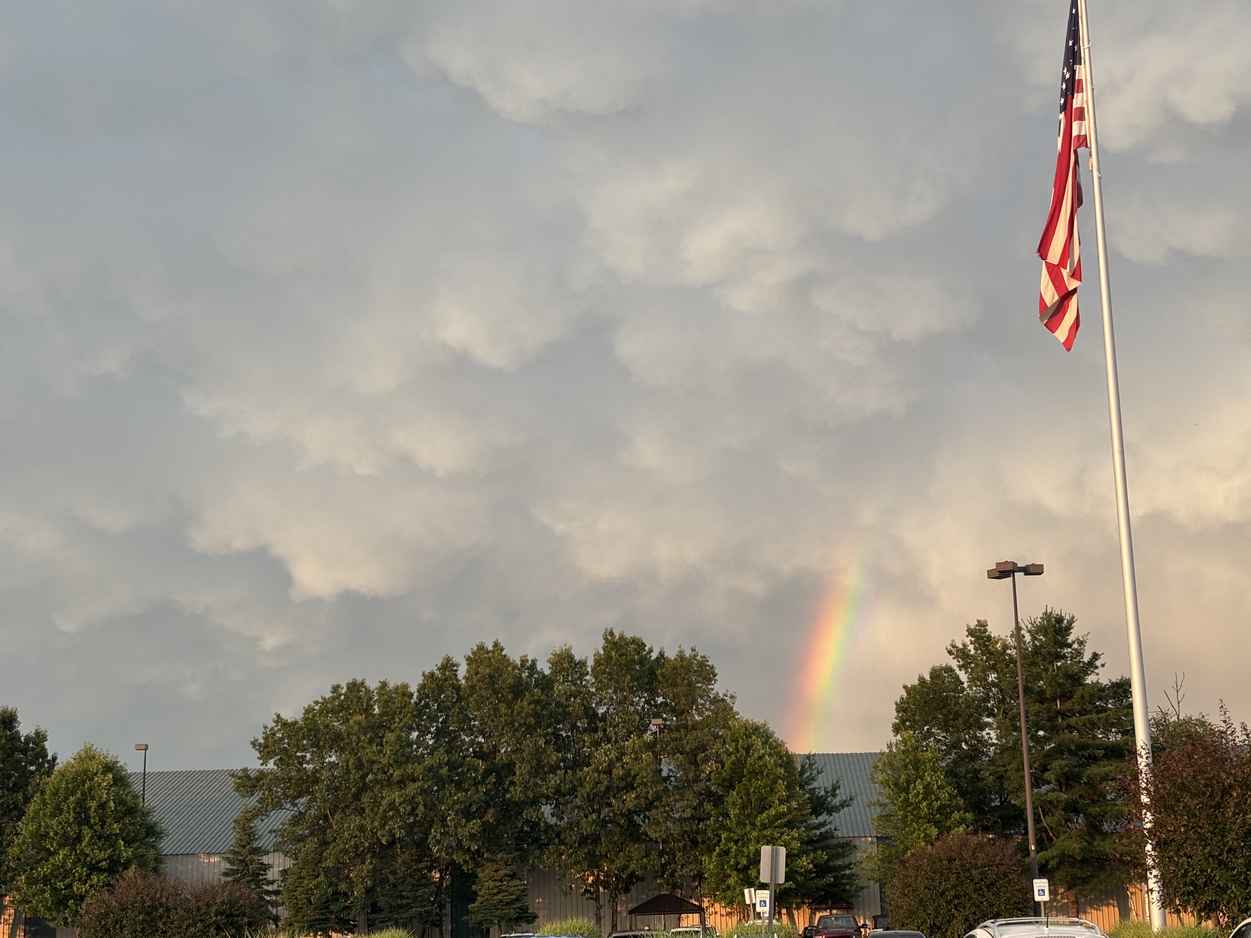
That was at Big Y in Wilbraham, MA! Sorry for late response -
July 2025 Obs/Disco ... possible historic month for heat
weatherwiz replied to Typhoon Tip's topic in New England
WOAH!!
-
July 2025 Obs/Disco ... possible historic month for heat
weatherwiz replied to Typhoon Tip's topic in New England
AWT -
July 2025 Obs/Disco ... possible historic month for heat
weatherwiz replied to Typhoon Tip's topic in New England
Indeed! Wished there was more lightning but good winds and instances of hail over the course of a 5-7 minute span -
July 2025 Obs/Disco ... possible historic month for heat
weatherwiz replied to Typhoon Tip's topic in New England
-
July 2025 Obs/Disco ... possible historic month for heat
weatherwiz replied to Typhoon Tip's topic in New England
43 knots…was going to say 45-50 mph gusts too -
July 2025 Obs/Disco ... possible historic month for heat
weatherwiz replied to Typhoon Tip's topic in New England
HAIL!!!! -
July 2025 Obs/Disco ... possible historic month for heat
weatherwiz replied to Typhoon Tip's topic in New England
Finally lightning -
July 2025 Obs/Disco ... possible historic month for heat
weatherwiz replied to Typhoon Tip's topic in New England
So far only see a rain shaft. Haven’t seen any lightning. That’s not encouraging -
July 2025 Obs/Disco ... possible historic month for heat
weatherwiz replied to Typhoon Tip's topic in New England
-
July 2025 Obs/Disco ... possible historic month for heat
weatherwiz replied to Typhoon Tip's topic in New England
I get so upset the rest of the day when I do. You have to go at like 7 PM. I’m just going to go to big y after. but might have a shelf developing with that leading cell!! -
July 2025 Obs/Disco ... possible historic month for heat
weatherwiz replied to Typhoon Tip's topic in New England
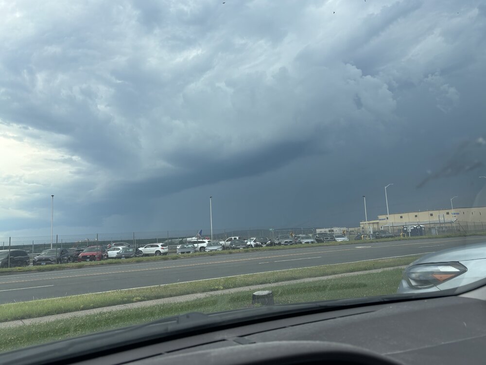
SCREW COSTCO. Place was a disaster. Was going to just sit in the parking lot and wait for storms but cell service was awful so I elected to go to BDL…getting out of the parking lot was an absolutely miserable experience and getting to the highway sucked. But I made it to BDL!