

mreaves
-
Posts
14,913 -
Joined
-
Last visited
Content Type
Profiles
Blogs
Forums
American Weather
Media Demo
Store
Gallery
Everything posted by mreaves
-
 I'm glad to see KMPV verified my 48° reading. After I posted it, I remembered that my PWS was taken down yesterday for some deck reconstruction. It is laying on its side on the covered front porch.
 -
48.3°/46.7°. As @dendritehas pointed out, these temps didn’t used to be uncommon this time of year.
-
And believed most of them.
-
While the rest of his team decided to start a brawl with Spain.
-
Driving home from Presque Isle and the wind on 95 has been nasty.
-
Here you go.

-
I was thinking the same thing. I remember occaisionally having smoke from fires make its way here but not every year.
-
Not even a drop of rain here.
-
Nothing here.
-
Let’s skip over Atlantic time and go to Newfoundland Time. Keep us in sync with @OSUmetstud
-
It is eerie out. BTV says sun breaks out late and we make a run at 90°.
-
@forkyforkTip is speaking your language.
-
No flooding please.
-
What a gorgeous day. Played 18 and then my wife and I cruised up Cold Hollow Cider Mill and looped back through Stowe and Morrisville for a late Sunday afternoon ride. Beautiful out.
-
Had a pretty good set of storms rolled through here between 6:00 and 7:30 or so. Lots of lightning and some heavy rain. Over an inch and a half in that timeframe.
-
Was that today's Tom Sawyer? I heard it was a mean, mean ride.
-
Are you really that dry? We have standing water in some spots.
-
Canada Day fireworks on hold!
-
It was loud and flashy when it rolled through here. Some pretty heavy rain too.
-
You’d be surprised about how nice the heated steering is. And the ventilated seats are great. I bought a used Mazda CX-5 that has both. It’s probably ruined me for lower trim levels from now on.
-
Yes and I really like my cooled seats too.
-
We'll probably still get them - "Sunny and 88°, again"
-
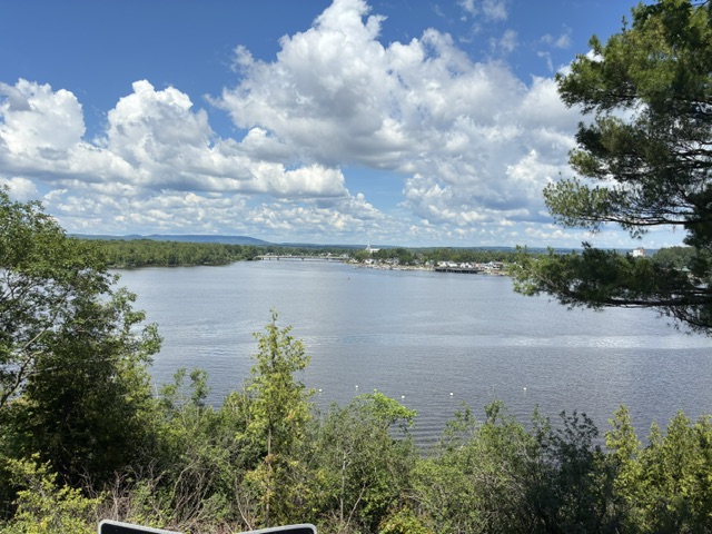
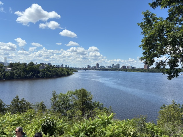
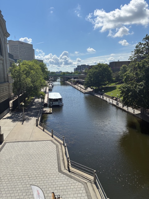
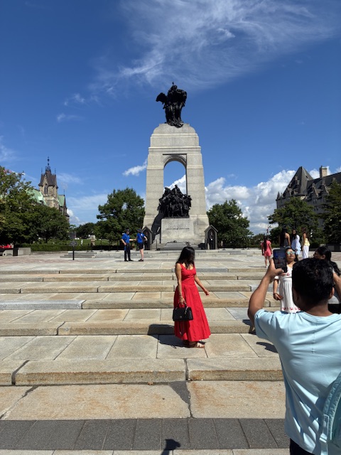
Beautiful day in Ottawa.
-
And the leaves are getting that leathery look
-
My somewhat suspect PWS gauge has 2.66” this week. Stein would be welcome to visit for a short time up here.


