Tatamy
-
Posts
2,567 -
Joined
-
Last visited
Content Type
Profiles
Blogs
Forums
American Weather
Media Demo
Store
Gallery
Everything posted by Tatamy
-
 Bensalem now tornado warned
 -
Two strong couplets on radar now. One near Bensalem and the other near Carson’s Mills NJ
-
Original storm has intensified again as moves from NE of Robbinsville, NJ towards the area near I195.
-
Now approaching Bensalem, PA. Looks healthy on radar right now.
-
New couplet on radar near Abington,PA
-
Storm is now near Robbinsville, NJ
-
Confirmed tornado on the ground in Hamilton Square, NJ.
-
Now moving towards the Lawrence, NJ area.
-
NWS confirms that the circulation associated with this storm had intensified again as it moves through Trenton.
-
Now moving through the northern part of Trenton.
-
The area that this tornado has tracked through comprises a lot of old growth densely wooded forest. Going to be quite a mess for those folks down there.
-
Circulation definitely looks weaker at the moment.
-
This one will be tracking very near to the Trenton airport in a few minutes.
-
I am watching live coverage of this storm on NBC 10 Philadelphia. Tornado now reported near Washington Crossing, NJ
-
Confirmed large tornado on the ground near New Hope, PA .
-
Confirmed report of a tornado near Lumberville, PA a short time ago.
-
New Tornado warning in the Allentown area. Heavy rain here but not too much lightning. No wind to speak of.
-
Seeing steady rain with lightning mainly CTC.
-
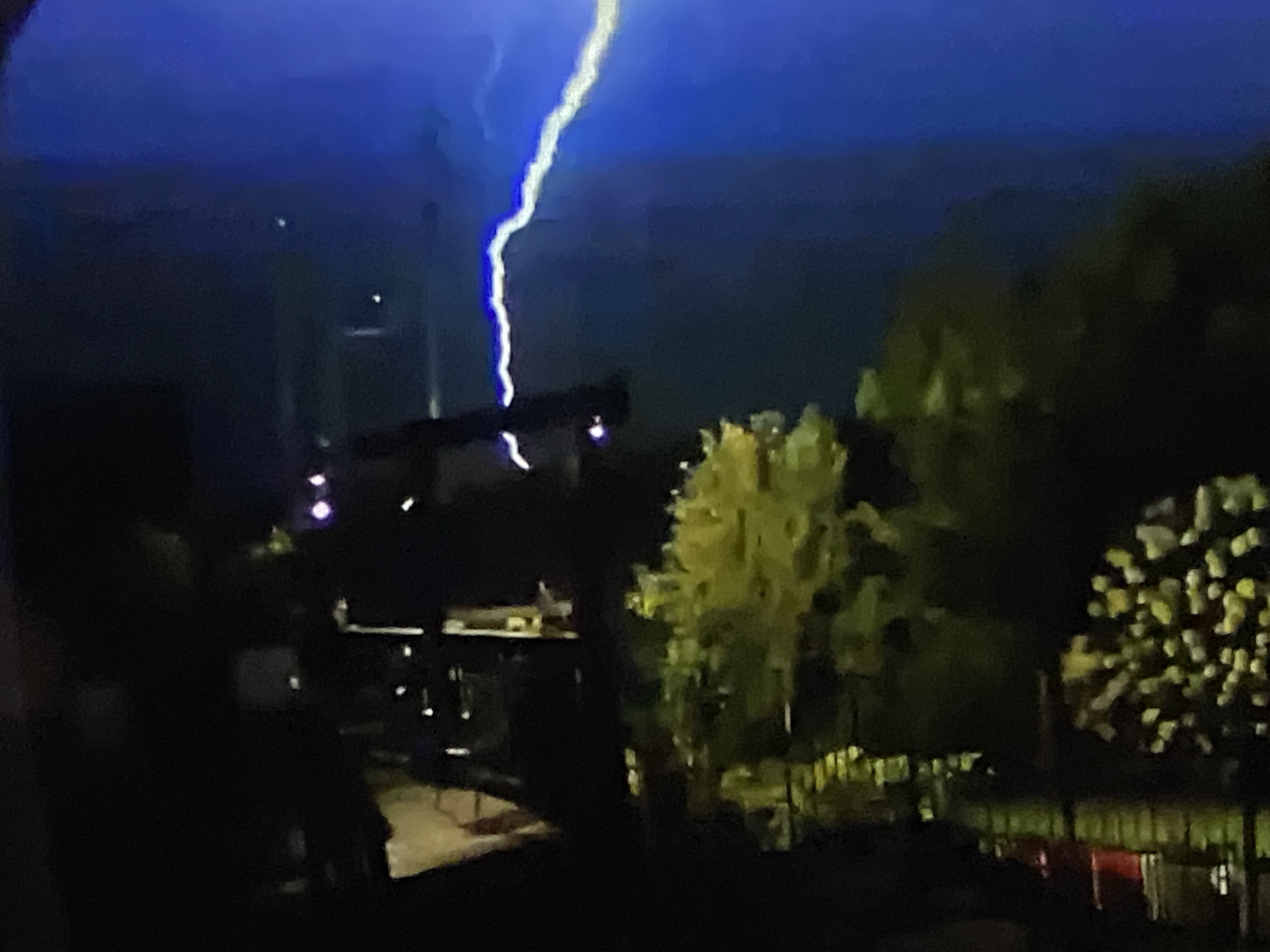
This is what a quarter mile away looks like.
-
I figure it was about a mile away near a local shopping center.
-
It was quite loud. It was actually a fairly small local cell that set out some close CTG strikes.
-
Picked up 0.27” with the overnight storms. This woke me up at 2:30am.

-
Sun July 11-Mon July 19 Pockets of FF/SVR and a modest heat wave
Tatamy replied to wdrag's topic in New York City Metro
Rotation in the atmosphere over my location this afternoon.
- 382 replies
-
- 12
-

-

-
- flash flooding
- severewx
- (and 1 more)
-
SVR-PRE (ELSA) potential NYC subforum Tue-Fri morning July 6-9, 2021
Tatamy replied to wdrag's topic in New York City Metro
Marble size hail with the storm that just rolled through here. 0.27” with a 28 mph wind gust. -
SVR (iso FF) potential 4P-mid Sat and Mon, then during the day Tue
Tatamy replied to wdrag's topic in New York City Metro
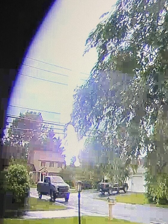
So far this has been a nothingburger as it passes near my location in eastern PA.