

Tatamy
-
Posts
2,572 -
Joined
-
Last visited
Content Type
Profiles
Blogs
Forums
American Weather
Media Demo
Store
Gallery
Everything posted by Tatamy
-
Mt. Holly issues a Severe Thunderstorm Warning for parts of eastern and NE PA for the incoming squall line. If you are in western or NW NJ or adjacent NY keep an eye on this one.
-
 This feature is weakening as it moves east. There are a few brief bursts of moderate snow however much of it is just flurries. It is accompanied by strong winds.
 -
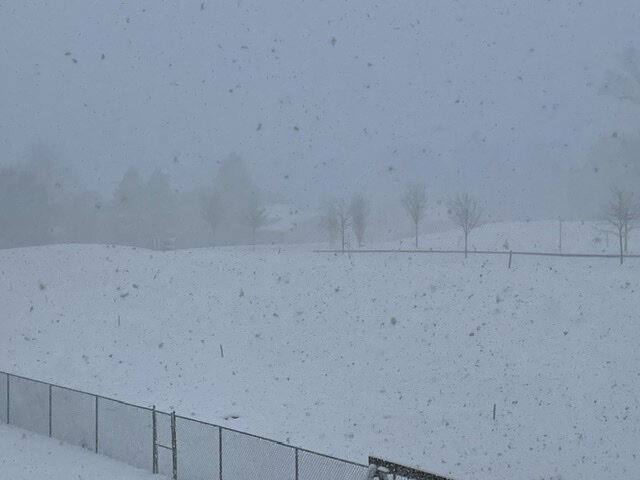
Light snow with 1 mile visibility. Temperature at 25. Strong winds are whipping up ground blizzard conditions here.
-
There are some very potent snow squalls in the Harrisburg area right now. There are some very low visibility’s associated with these. On radar at least this activity is slowly translating to the east. If anyone reading this is going to be traveling west into PA and west of Allentown I 78 is closed due to accidents at Hamburg.
-
There are actually some good bursts of snow in the Harrisburg area right now. The latest run of the HRRR is not too bullish on that area of snow translating to the east with much potency.
-
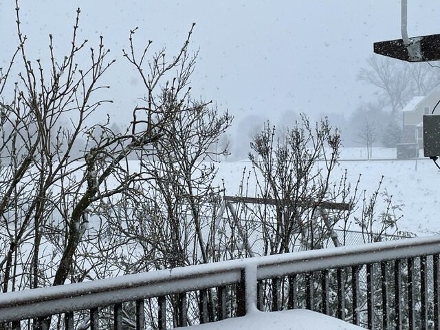
3 1/2” OTG. Moderate snow continues. 27*
-
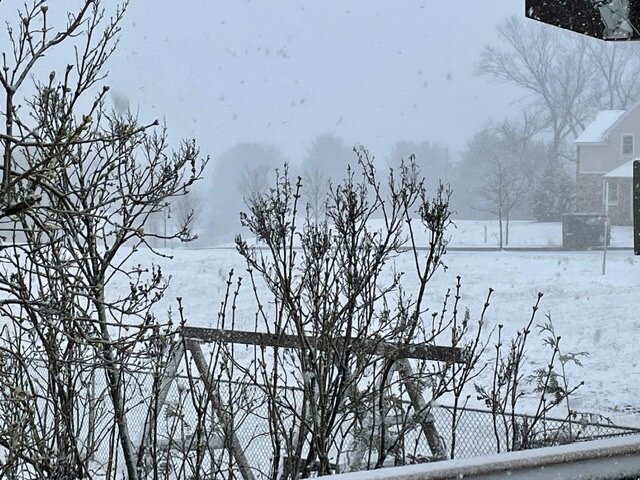
Heavy snow with 1/8 mile visibility 29*
-
Heavy snow 1/8 mile visibility.
-
It really has been booking off to the east as of late. Conversely the back edge of the snow is moving to the NE across VA at about 60 mph. This storm is a fast mover.
-
No weenies today- what happened??
-
Strongly agree that the Euro lead the way with the more easterly track during the week.
-
I am seeing that here now with heavy snow 30*
-
There’s rain and snow mixed where 78 and 287 meet however you need to go west of there to find accumulating snow.
-
Big difference in conditions from where you are at elevation as compared to those on I80 to your south.
-
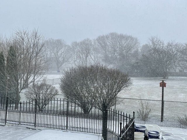
Heavy snow 1/4 mile visibility.
-
Actually for the time being it does not appear that the changeover line is proceeding any further east (as seen on traffic cams). It still runs from about Jugtown Mtn along I78 to the area where 206 connects with I80.
-
Snow in NJ as Far East as Rte 206 along I80 and Pattenburg (exit12) along I78.
-
Steady snow / 34 degrees. Already sticking to non paved surfaces. This was a direct flip from rain to snow with barely any sleet. The HRRR had the changeover from yesterday at 8:00 AM today and was spot on.
-
Rain mixed with snow. 36 degrees.
-
Heavy snow is coming down just west of Allentown. Visibility’s along I78 as shown on traffic cameras is under 1/2 mile with moderate to heavy snow.
-
Temperature is at 40 out here with light rain. Winds are starting to pick up as the cold air advection commences.
-
I would go with the NWS numbers. The 0z models that I have seen so far are not really any higher than previous runs.


