Tatamy
-
Posts
2,585 -
Joined
-
Last visited
Content Type
Profiles
Blogs
Forums
American Weather
Media Demo
Store
Gallery
Everything posted by Tatamy
-
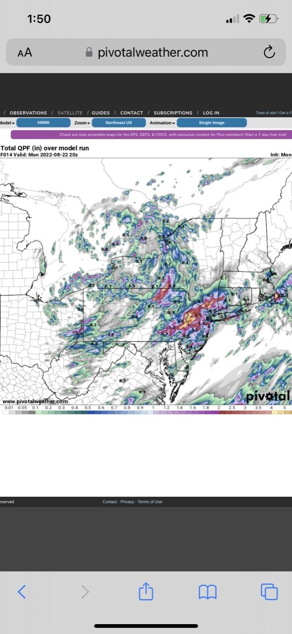
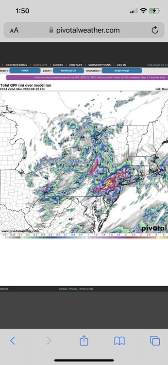
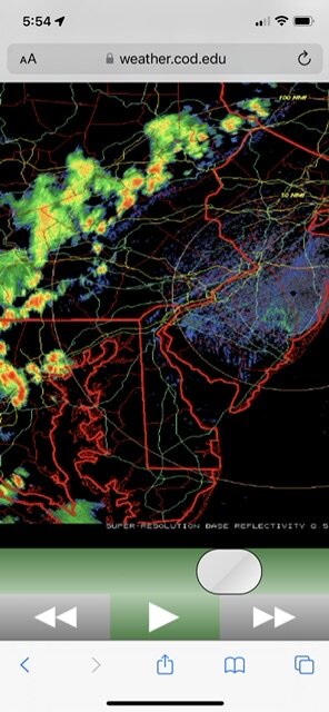
The models were not all wrong. This is from this morning’s 06z run of the HRRR. It’s not totally correct however it did pick up on the rainfall maxes in parts of central NJ and eastern PA.
-
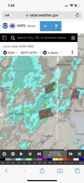
Precip totals so far for the current event
-
Interesting mesoscale setup in place roughly along I78 today. The prevailing flow is lifting moisture up and over the boundary that is in place in this area resulting in numerous showers and storms forming along it. I just passed 2” on the day.
-
Looks like the area in Branchburg and Readington Twp is hitting the JP with this event. Several reports of rainfall reports in the 2-3” range so far in addition to yours. Short range models have shown that potential in your area on some of the runs in the past 24 hours. I have 1.22” with intermittent downpours out here.
-
Have received 0.82” from the ongoing event.
-
Woodbury Commons. Near where the Thruway meets Rte 17.
-
The pattern depicted in this run would be more likely to bring rain or mixed precip at least to coastal areas if this were to occur in January. The center of SLP would be too far to the west.
-
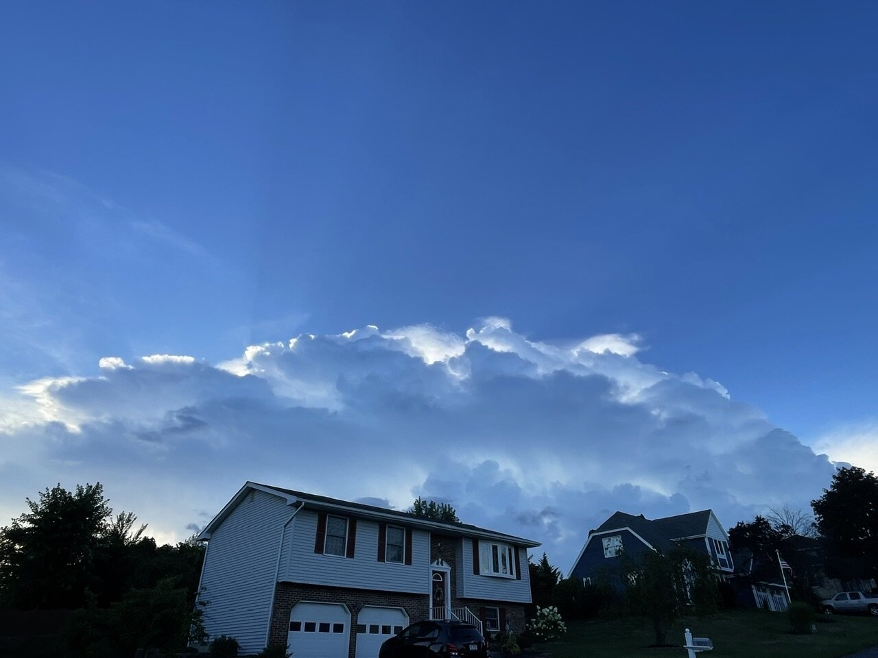
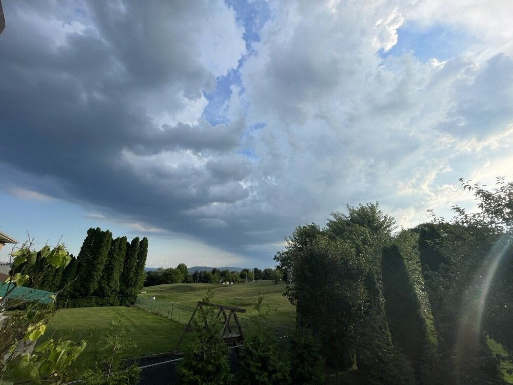
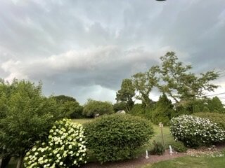
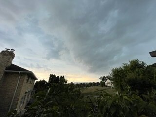
From looking at the radar it looks like there is a leftover outflow boundary roughly along Rte 202 and then along I-287 to the north and northeast of Raritan NJ. Yesterday evening there was activity that set up just to my north on the lee side of Blue Mountain in eastern PA. Let’s see where things set up today. The below photo is of last night’s activity.

-
1.65” at my place in Bethlehem Twp., PA
-
This is the cell near Bridgewater that is now popping along that old outflow boundary now across central NJ. Looks like there are other cells popping in that area on radar now.

-
Squall line has broken up some in the last 20 minutes or so as shown on radar. Outflow boundary has just passed through here and may still be able to fire up some new cells in western NJ.
-
The squall line continues to have a well defined outflow boundary running out ahead of it.
-
91/72 with a heat index of 99. Outflow boundary as shown on radar with the squall line is rapidly approaching.
-
This is a look at the squall line which is currently 50 - 70 miles to my west and northwest.
-
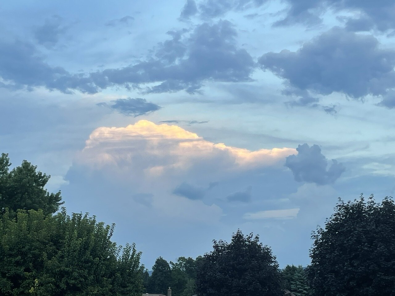
Interesting look on radar with the squall line in central PA with the outflow boundary running out ahead of the main line and firing up new cells along it.
-
Precip amounts with this system so far have been generally less than 0.10” in PA except for higher amounts in southern PA and places to the S&W of the Harrisburg area.
-
Isn’t Locust Valley a north shore station?
-
Monthly rain total at my station at Cherry Grove is 0.36”. Two events during the past few days have accounted for 0.03”. The remainder fell on or before 7/5/22.
-
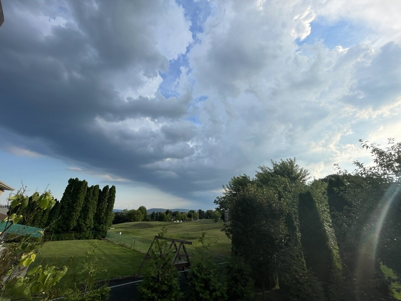
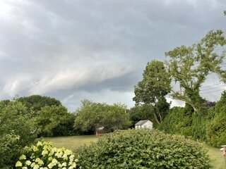
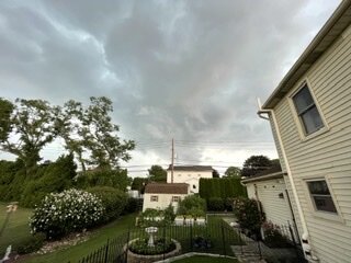
Nice storm here which has deposited 0.65” of rain. Came with a nice looking shelf cloud and a few CTG strikes to make it interesting.
-
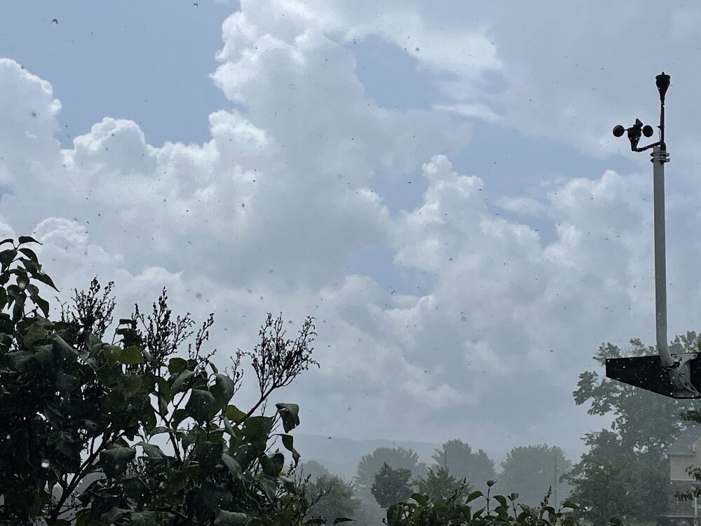
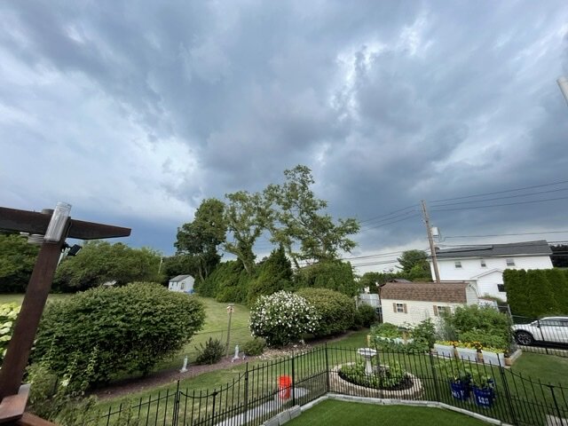
Skies getting ready to open up here.
-
You are not kidding. I have a station at a family members house in Cherry Grove (east of RM). There has been no rain at this station since 7/5. The streak ended today and I recorded 0.01” with the cell pictured above. It fizzled out on radar once it started to move east from RM. As others have noted there seem to be a lot of places that cannot get any rain.
-
When do the sea surface temperatures at these off shore buoys typically peak? Would the end of August be when the max would be reached?
-
44025 is 77.4
-
I am at 0.33” for the month at my station in Cherry Grove.
-
Winds at my station on Fire Island backed around just before 10 AM. Temperature has still risen to 84 as of this hour. Other stations on the Davis network that I checked in the Sayville area still have a light west wind.